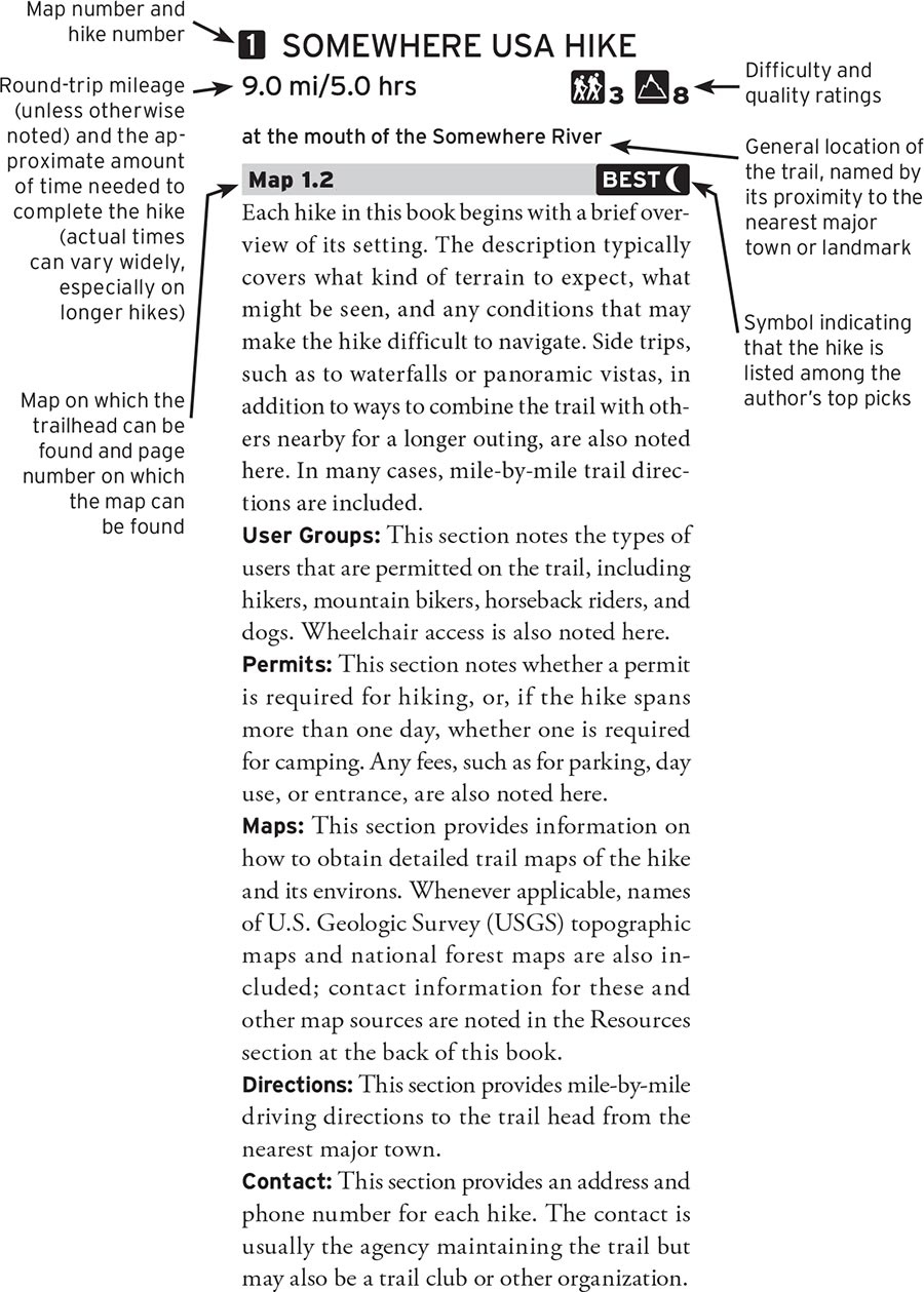
Each hike in this book is listed in a consistent, easy-to-read format to help you choose the ideal hike. From a general overview of the setting to detailed driving directions, the profile will provide all the information you need. Here is a sample profile:

The icons in this book are designed to provide at-a-glance information on the difficulty and quality of each hike.
 |
The difficulty rating (rated 1–5 with 1 being the lowest and 5 the highest) is based on the steepness of the trail and how difficult it is to traverse |
 |
The quality rating (rated 1–10 with 1 being the lowest and 10 the highest) is based largely on scenic beauty, but also takes into account how crowded the trail is and whether noise of nearby civilization is audible |
Trails rated 1 are very easy and suitable for hikers of all abilities, including young children.
Trails rated 2 are easy-to-moderate and suitable for most hikers, including families with active children 6 and older.
Trails rated 3 are moderately challenging and suitable for reasonably fit adults and older children who are very active.
Trails rated 4 are very challenging and suitable for physically fit hikers who are seeking a workout.
Trails rated 5 are extremely challenging and suitable only for experienced hikers who are in top physical condition.

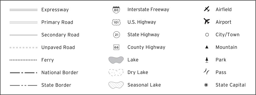
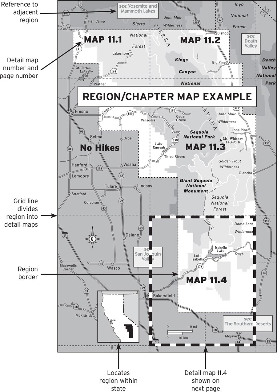
This book is divided into chapters based on major regions in the state; an overview map of these regions precedes the table of contents. Each chapter begins with a map of the region, which is further broken down into detail maps. Trailheads are noted on the detail maps by number.
