CHAPTER 2
New Orleans
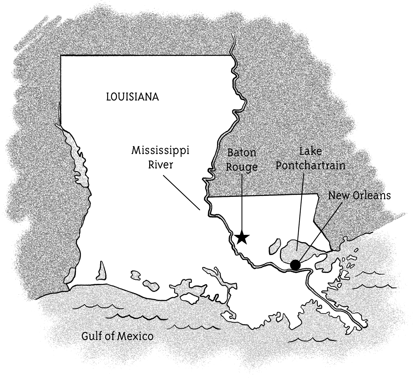
New Orleans is located in a small area between the Mississippi River, the Gulf of Mexico, and Lake Pontchartrain. Lake Pontchartrain connects to the Gulf of Mexico.
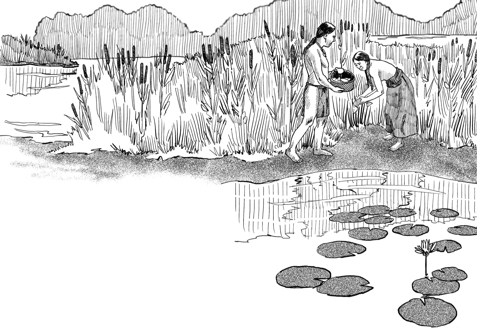
Native Americans first settled the area. They lived on a delta that was formed by the Mississippi River. Deltas are triangle-shaped landforms created from soil deposits from surrounding water. This delta’s location was a perfect place for a city to grow! The locals traded with people who traveled between the Mississippi River and Lake Pontchartrain.
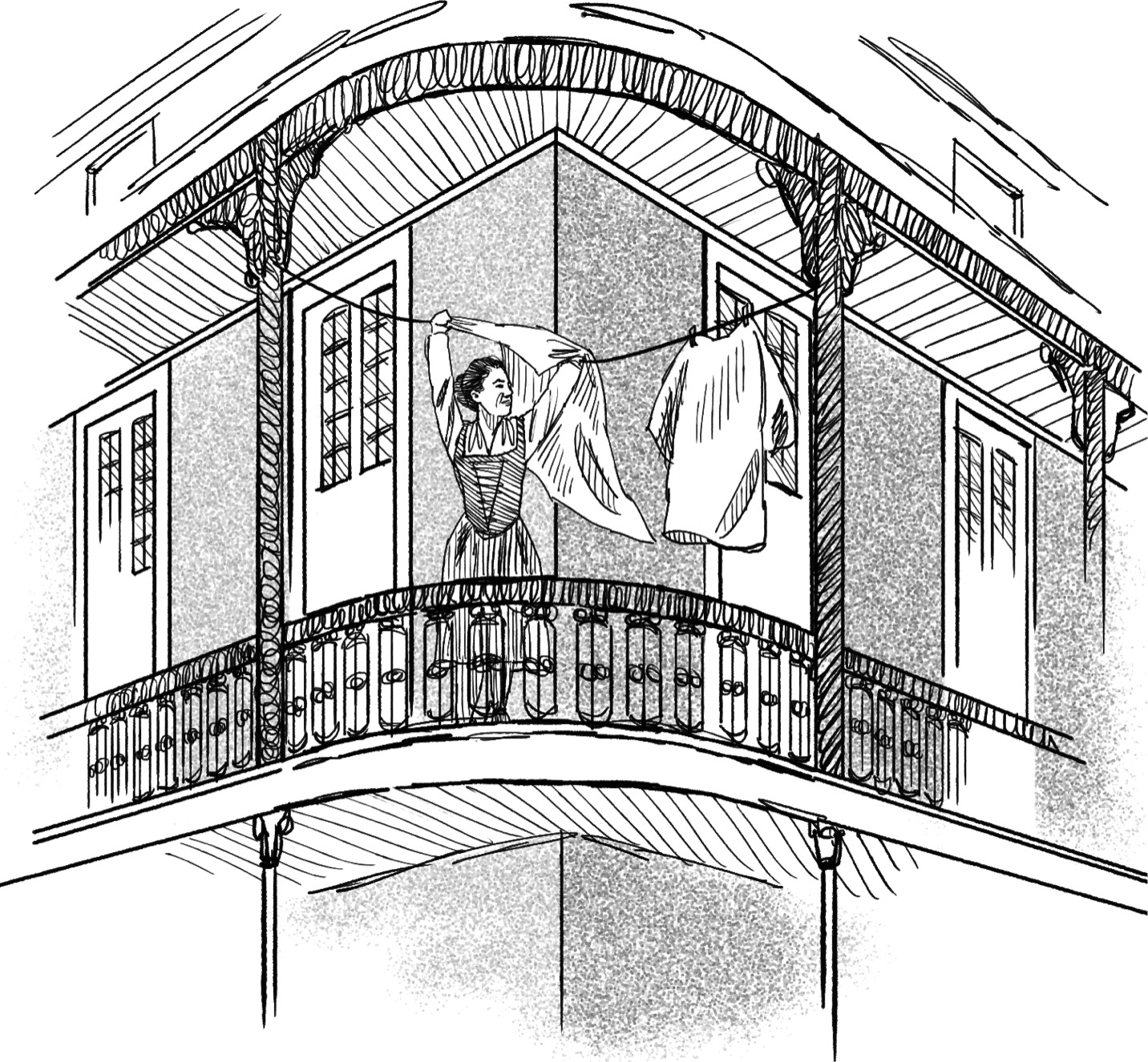
France claimed the area in the 1680s. The city of New Orleans was soon formed and became the capital of French Louisiana. When the Spanish acquired the territory in 1763, they designed buildings that used native brick-and-tile roofs, some of which can still be seen today.
New Orleans has always been home to many different peoples. Besides Native Americans and the French and Spanish, people from Caribbean islands such as Haiti arrived. So did slaves from West Africa, some of whom were able to buy freedom in New Orleans.
After Thomas Jefferson bought Louisiana from France in 1803, the area became part of the United States. Yet the different cultures in New Orleans remained strong. Because of this, New Orleans is one of the most interesting cities in the United States.

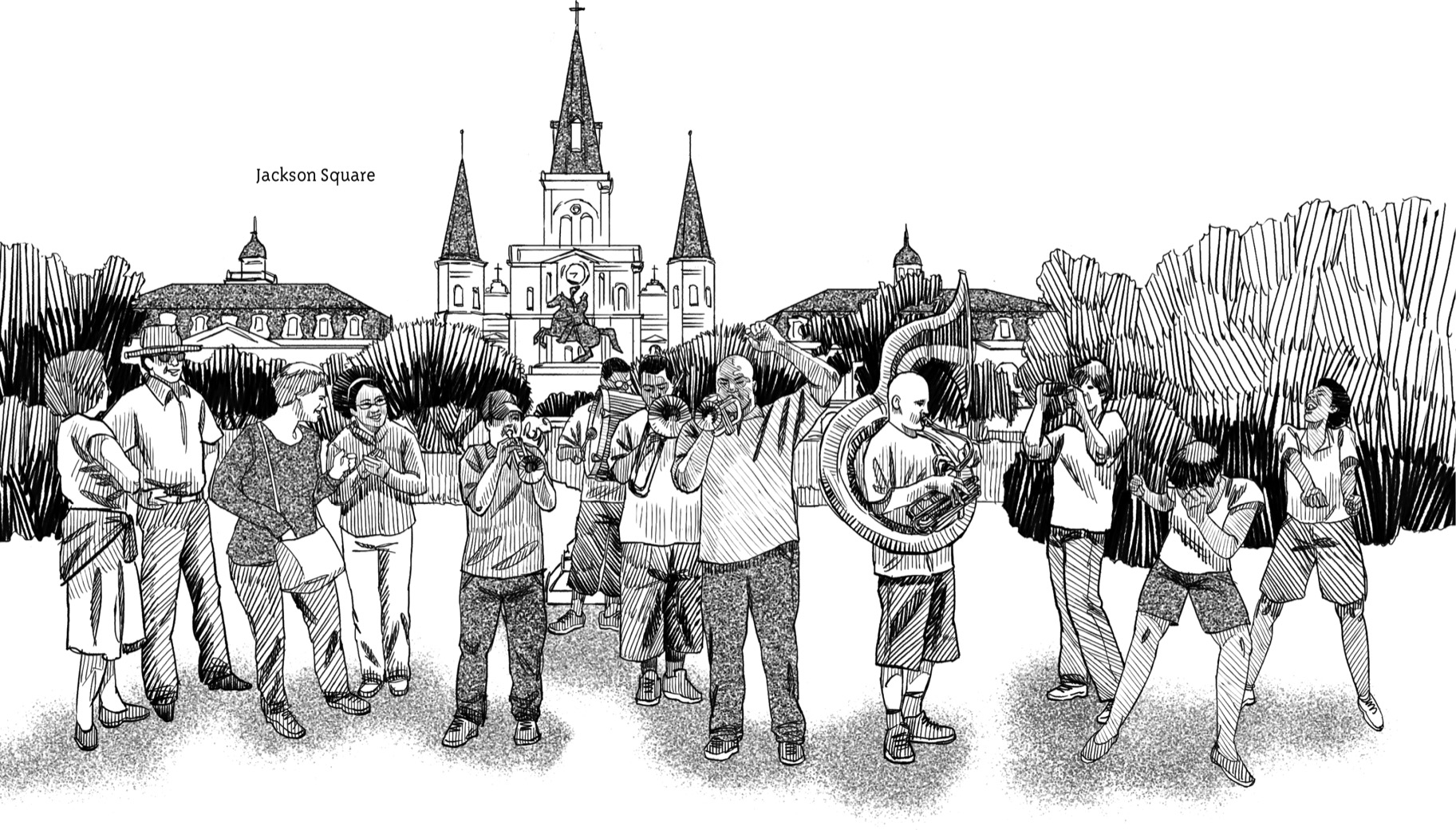
Its diverse history is celebrated, and it’s responsible for the area’s great music, spicy cooking, dialects (ways of speaking), and religious festivals. “Let the good times roll” is the motto of the city, which is also called the Big Easy.
New Orleans is a great city, but also a city with a lot of poverty. It is divided up into neighborhoods called wards. There are seventeen wards altogether, some located on high ground and others on low ground.
The richest neighborhoods, such as the Garden District, are on higher ground, while the poorer neighborhoods are on low ground.
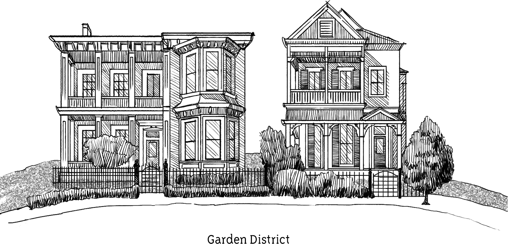
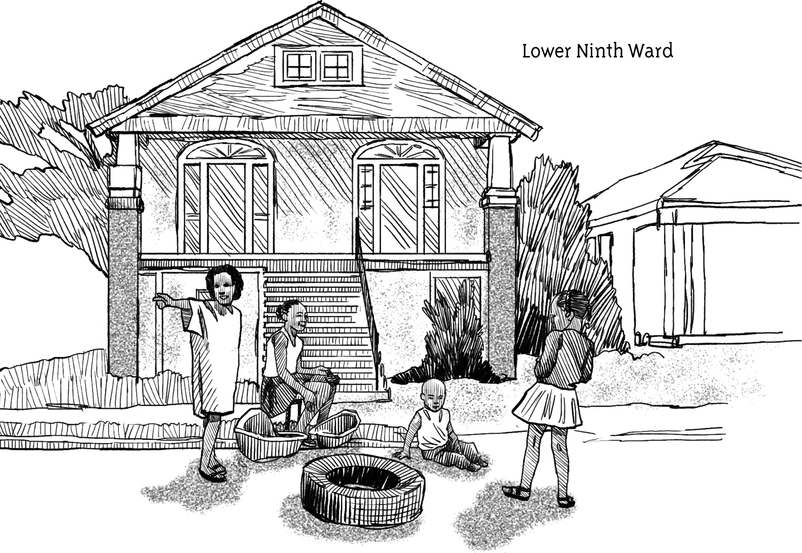
In 2004, more than two-thirds of the population of New Orleans was black. Middle-class African Americans tended to live in the eastern half of the city. The poorest African Americans lived mostly near swampy marshlands or—like people in the Ninth Ward—along the riverfront. Parts of the Lower Ninth Ward actually lay about four feet below sea level. In a superstorm, that meant the Lower Ninth would get flooded. Over the years, there was flooding from many hurricanes in New Orleans. But when Hurricane Betsy slammed the gulf in 1965 and sent floodwaters smashing through levees all around the city, it was a wake-up call. It became evident that more needed to be done to protect New Orleans.
Government money helped pay for a better levee system. The Army Corps of Engineers set out to build a levee system that would withstand a serious flood. Stronger, taller levees were built, and old systems were repaired or improved. The goal was to help protect New Orleans from another storm like Hurricane Betsy.
Unfortunately, new problems arose. The new levees and dams held back dirt from the wetlands. Wetlands are places where water covers the soil. This made it easier for water to surge into the city during a big storm. And Katrina promised to be the biggest of the big.
