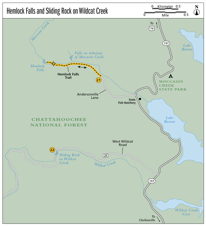
21 Hemlock Falls
Light and Lively! On the Author’s Favorites List, not only the falls themselves, but the hike as well, is one experience you are sure to enjoy.
Height: 15 feet
Distance: 1.6 miles out and back
Trail surface: Hard-packed dirt
Approximate hiking time: 45 minutes
Blaze color: Green
County: Rabun
Land status: National forest
Trail contact: Chattahoochee National Forest, Chattooga Ranger District; (706) 754-6221; www.fs.fed.us
Maps: DeLorme: Georgia Atlas & Gazetteer: Page 16 C1
Finding the trailhead: From the junction of GA 197 and US 76, drive south on GA 197 for 3.6 miles. Turn right onto Andersonville Lane (immediately after passing Moccasin Creek State Park) at the sign for Hemlock Falls and travel 0.4 mile to a three-way intersection. Go straight ahead at the intersection and continue another 0.1 mile to where the road dead-ends at the trailhead.
From the junction of GA 197 and GA 356, drive north on GA 197 for 7.6 miles. Turn left onto Andersonville Lane at the sign for Hemlock Falls and follow the directions above.
The trailhead for Hemlock Falls Trail (#50) is identified by a very large rock with Hemlock Falls Trail etched into it. GPS: N34 50.881 / W83 35.804
The Hike
This easily followed trail makes its way back into the woods and leads past an amazing forest of ferns. As you make your way deeper into the forest, you will see several small side trails shooting off to the right. Bypass them all, staying on the wider main path. This thoroughly pleasant hike follows alongside Moccasin Creek for most of the way, giving you incredible views of the creek as it “trips and falls over stones in its way.”
The creek seems alive here, and the diversity of the flora really catches your eye. Who knew there could be so many shades of green? You will pass a lovely small waterfall that flows into the creek from the opposite side before coming to a wooden footbridge atop another wonderful small waterfall.
Cross the bridge and head up the stony path. Just around the bend is the base of beautiful Hemlock Falls. You can follow the trail a short distance farther to reach the brink of Hemlock Falls, but I prefer the view from the base. The brink does not offer any fabulous mountain vistas, simply another look at the creek.
As Moccasin Creek flows peacefully into Lake Burton, it is graced with Hemlock Falls. As is typical to the area, the falls are surrounded by a hardwood forest as well as plentiful rhododendron and mountain laurel. Pine, oak, birch, and hemlock trees prevail. Aside from hiking, trout fishing is also a popular activity. How could it not be, with the Lake Burton Fish Hatchery as its neighbor?
Miles and Directions
0.0From the trailhead, hike northwest back into the woods and past an amazing forest of ferns.
0.4Look across the creek to where a small waterfall flows into the creek from above on the opposite (north) side.
0.7Come to a wooden footbridge atop a wonderful small waterfall. Cross the bridge and head west up the stony path.
0.8Arrive at Hemlock Falls (N34 51.021 / W83 36.499). Return the way you came.
1.6Arrive back at the trailhead.
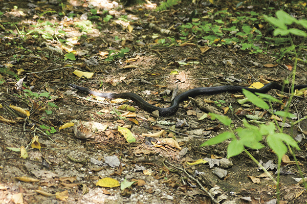
This nonvenomous snake is probably more afraid of you than you are of it.