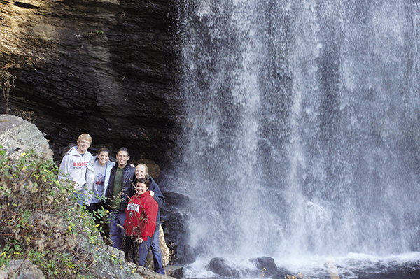
Some waterfalls are viewed from afar—others you can reach out and touch.
35 Eastatoah Falls
Panache! This roadside beauty stands tall on the mountainside but oft times goes unnoticed. The stretch of highway that Eastatoah Falls keeps watch over is not very “parking friendly,” so use caution, and keep your roadside visit brief.
See overview map
Height: 200 feet
Distance: Roadside
Blaze color: No blazes
County: Rabun
Land status: Private property
Trail contact: None
Maps: DeLorme: Georgia Atlas & Gazetteer: Page 16 A3; DeLorme: North Carolina Atlas & Gazetteer: Page 51 F7
Finding the trailhead: From the junction of US 441 and US 76 east, drive north on US 441 for 7.7 miles. Turn right onto GA 246 and drive approximately 1.5 miles to a small pull-off on the left.
From the Georgia–North Carolina state line, drive south on US 441 for 0.7 mile. Turn left onto GA 246 and follow the directions above.
GPS: N34 59.459 / W83 21.543
The Hike
Eastatoah Falls can be viewed from the roadside. From the pull-off, look east to get a glimpse of the falls flowing down the mountainside in the distance. I recommend bringing binoculars or a good zoom lens if you really want to appreciate this one. Also known as Falls on Ford Mountain and Falls on Mud Creek, this one is located on private property, so the best you can do is view it from afar.
One reasonable theory for the name is that it comes from the Cherokee village of Eastertoy, which was located in the town of Sky Valley, near present-day Dillard, Georgia. Over the years, Eastertoy became Eastatoah.
Some waterfalls are viewed from afar—others you can reach out and touch.