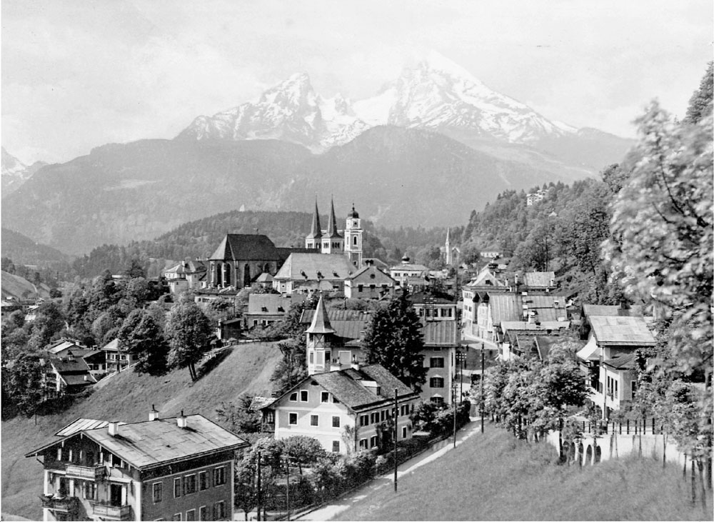
35. Berchtesgaden.
The charming market town of Berchtesgaden. This early postcard probably dates from the 1920s and shows the town from an angle popular with photographers, in this instance the magnificent Watzmann dominates the background.
This 1934 map of the town of Berchtesgaden is exceedingly rare. I stumbled upon it by sheer accident in a second-hand shop in Berchtesgaden in 2009. I could hardly believe my eyes when I noticed it standing in a battered old frame that was literally falling apart; nonetheless the map itself is in superb condition. This printed map, the original of which has been beautifully hand drawn, measures 17 × 38 centimetres (7×15 inches). However, what is of particular interest, is that even at this early stage, we can see that a number of street names have already been changed to reflect the influence and popularity of the new regime.
Map reference A3/4 shows the Horst Wessel Weg, named after Nazi martyr Horst Wessel who was shot in the head by Communists when he answered his door on 14 January in 1930. Wessel, a member of the SA, is best known for writing the Horst Wessel Lied, the song became the official Nazi Party anthem. D7/8 shows the Adolf Hitler Str. C13/14 shows the Dietrich Eckart Str., named after Hitler’s old friend and mentor. Eckart died in Berchtesgaden on 23 December 1923. The ‘Sonnblickhäusl’ where Eckart died can also be found at map reference C13/14. Eckart is buried in the town Friedhof (Cemetery).
The popular Hotel Geiger, map reference A2, opened in 1874. During the Second World War the Geiger was a rest and recreation centre for officers in the Luftwaffe. Sadly, insolvency led to the closure of the hotel in the 1990s. B2 shows the location of the Grand Hotel. Bought by the Nazis in 1936 and following extensive refurbishment the Grand Hotel re-opened under the new name Hotel Berchtesgadener Hof. Map reference D/E12, an area of open ground between Koch-Sternfeld-Str. and the smaller of the two rivers is where the Nazis held many open air meetings in the early days. E4 shows the location of the train station. The station was rebuilt in 1937 and remains virtually unchanged. The ‘Salzbergwerk’ (Salt Mines), the source of much of Berchtesgaden’s wealth over many centuries are found at map reference F15. The small Nazi flag at map reference B11 pinpoints the location of the Lockstein, a restaurant high above the town. F8 shows the location of the Schießstättsbrücke, the bridge over the Berchtesgadener Ache and the beginning of the Salzbergstraße, the road to the Obersalzberg. Finally, map reference F12/13 reveals the artist’s signature, Zimmermann, and the year 34.