
|
DISTANCE: 2.4 miles TYPE: Out and back TOTAL ELEVATION GAIN: 460 feet MAXIMUM ELEVATION: 2,670 feet DIFFICULTY: Moderate HIKING TIME: 2 hours |
Part of the Finger Lakes Trail system in the Delaware Wild Forest, the hike to Split Rock Lookout climbs less than 500 feet, making it a good option for families with children, or those simply seeking a good payoff without too much effort. The vista is often overlooked in favor of bigger ascents and more condensed views to the east, so you’ll likely have the view to yourself. There are several options for lengthening your hike, should you wish to do so. Beaverkill, Little Pond, Roscoe, and Miller Hollow campgrounds are all within a half-hour drive of the trailhead, giving you the opportunity to string together a number of hikes throughout the area over the course of a weekend or more.
GETTING THERE
Drive on NY-17 toward Roscoe and take Exit 94. Follow Old Route 17 for half a mile, at which point it becomes NY-206 West. Continue to follow NY-206 for 2.5 miles and turn right onto Beaverkill Valley Road. When you come to a bridge crossing the Beaver Kill, stay left and continue on. Beaverkill Valley Road becomes Berry Brook Road 1.2 miles after passing the bridge. Drive on Berry Brook Road, winding uphill for 4.2 miles. The parking area is a grassy turnoff near the top of the ridge on the right side of the road.
GPS SHORTCUT
Instruct your GPS to navigate you to the intersection of Holiday Brook Road & Berry Brook Road, Roscoe, NY, only a short distance from where the trail starts.
THE TRAIL
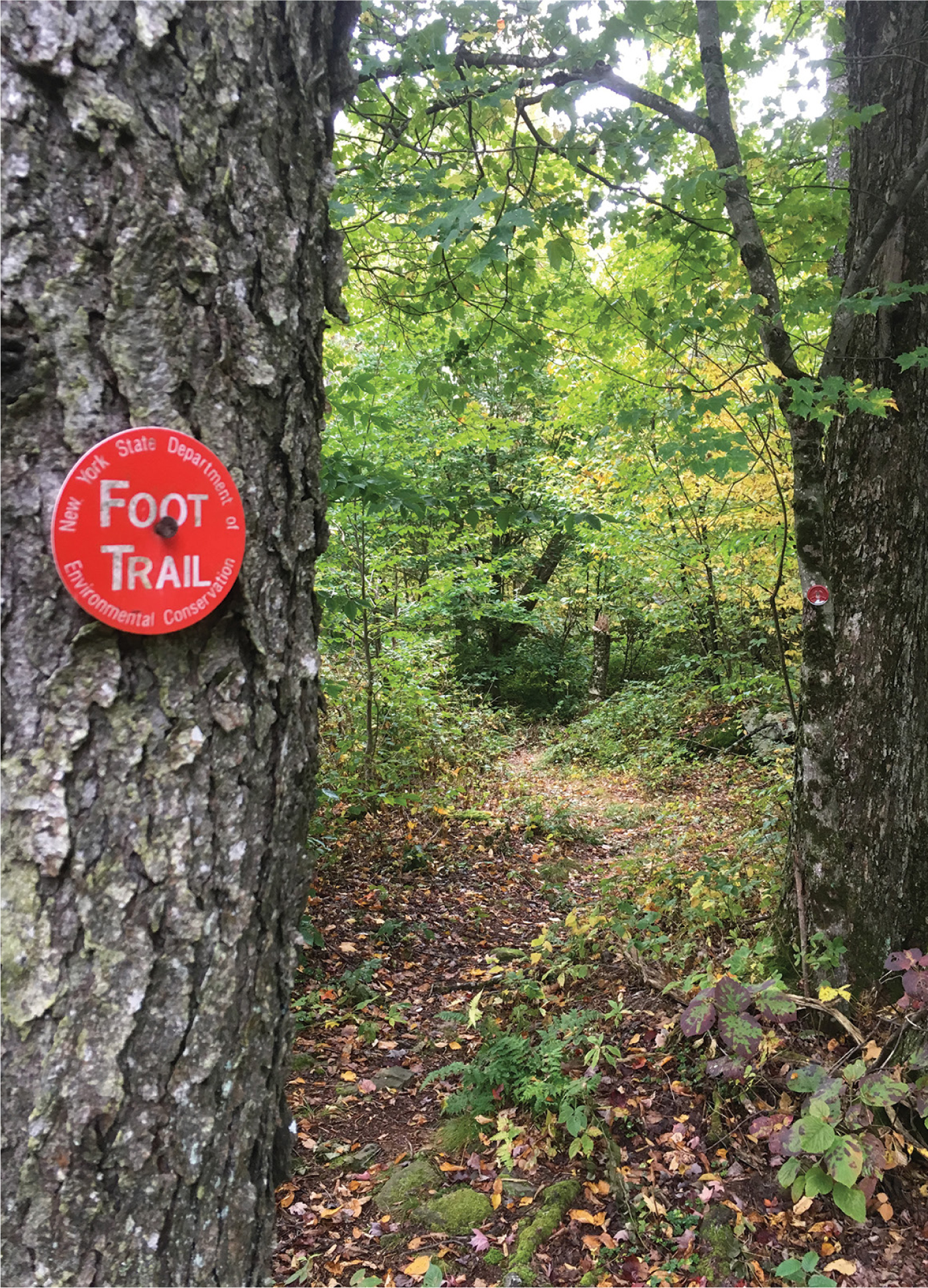
Sign in at the trail register located at the northern end of the parking area. Pick up the main trail grade, which edges a hayfield to the left and slightly behind the register. Cross the road and continue into the forest on the red-blazed Mary Smith Trail, which sits to the left of a private driveway. (The Finger Lakes Trail also shares these paths for the entirety of this hike.) The first portion of this hike crosses private land, so be respectful of the landowner’s rights and do not stray from the marked trail.
In a few hundred feet, you will come to a power line swath. Go straight across it, and reenter the woods just below an old stone fence. The trail will climb slightly as you reach the boundary of the state-owned Delaware Wild Forest. Continue to hike on this rarely used footpath, and pass a large rock formation to your right in a short distance. There is a burst of steep climbing immediately after this ledge, bending to the right, along a narrow brushy length of trail, but the incline mellows afterward.
As you ascend, the trail will become rockier, often passing small boulders slightly off-trail, but it is well marked and still quite easy to walk. Your route will level out and resume climbing gradually several times until you reach the top of the ridge. The forest here is dark and densely wooded, mostly comprising maple and beech trees, but you will start to see some oak trees as you progress.
THE MEANDERING TRAIL TO SPLIT ROCK LOOKOUT
After you hike for 1.2 miles, the Mary Smith Trail ends at the junction of the blue-blazed Pelnor Hollow Trail. When you come to this intersection, turn right and begin heading downhill. Turning left here will take you to the Pelnor Hollow Shelter in 2.2 miles. Oak will become much more dominant on this side of the hill, and you will pass several very large, uniquely eroded boulders as you descend. After dropping roughly 150 feet over the course of 0.2 mile, you will come to a sign marking the obvious viewing area, a small grassy clearing next to an exposed rock face. There is a slabby boulder teetering on the edge of a crack that is about 10 feet deep, where it appears that the rock face has split from the grassy area, the attribute that gives this lookout its name. The vista faces southwest, looking out over the Beaverkill Valley and other areas of the Delaware Wild Forest system.

THE MARY SMITH TRAIL TO THE JUNCTION OF THE PELNOR HOLLOW TRAIL
When you are ready to leave, turn around and make the steep climb uphill back to the trail junction and follow the red-blazed Mary Smith Trail back to your vehicle. Alternatively, you could lengthen your hike by staying on the Pelnor Hollow Trail, which continues on another mile from the lookout before intersecting with the yellow-blazed Little Spring Brook Trail, which veers south, and the northwest-leading Campbell Mountain Trail, which is also blazed blue.
