Northeast Yosemite
Tarn east of Mule Pass (see Trail 1)
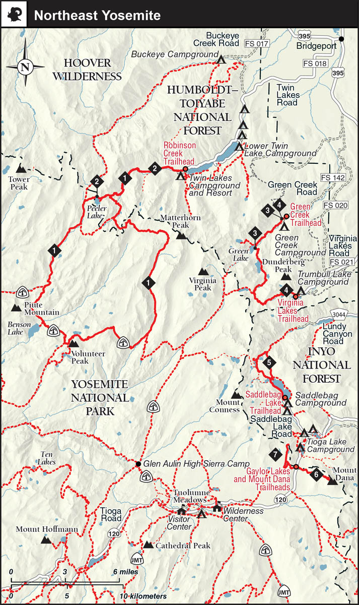
As covered in this guidebook, the Northeast Yosemite country includes the lands extending from the park’s northeast boundary southward along the Sierra Crest to Tioga Pass. The landscapes in this region are a mixture of granitic landscapes—John Muir’s “Range of Light”—and metamorphic ones. Trails 1 and 2 traverse mostly granite, with its light gray shades, while the metamorphic rocks, with various earth tones of brown, brownish red, rust, and shades of ochre, make an appearance on the remaining trails. In addition to being more colorful, metamorphic rocks weather to produce more nutrients, so the lands with metamorphic soils support an abundance of subalpine and alpine wildflowers.
From US 395, roads climb west to trailheads north and east of Yosemite’s Sierra Crest, and from these you can advance up canyons to the crest and then beyond into the lands of the northern third of the park. This area’s landscape is characterized by many parallel or nearly parallel canyons, which, generally speaking, get progressively deeper toward the east. Many of the canyons are intersected by trails for just short stretches, increasing their remoteness. Indeed, only a single hike in this book, Trail 1, leads you through these north-country canyons, a 50-mile loop taking in trailed sections of several of the most famous canyons, including Piute Canyon near Benson Lake and Matterhorn Canyon. If the allure of northern Yosemite is strong, see Yosemite National Park: A Complete Hiker’s Guide for descriptions of more trips in this region.
The remaining walks can all be completed as a day hike or overnight walk. Trails 2–5 start from eastern lands and visit lakes of the Hoover Wilderness that are east of the Sierra Crest. Trails 6 and 7 start from Tioga Pass, which, at about 9,940 feet, is the Sierra’s highest pass and is traversed by CA 120 (also known as Tioga Road). Trail 6 ascends to the summit of Mount Dana, on the park boundary. Perhaps nowhere in the park or its vicinity can you obtain such expansive views of the Mono Basin than from this summit. And nowhere in the Sierra Nevada can you find a more easily attained summit over 13,000 feet than Mount Dana. Finally, Trail 7 visits popular, easily accessed lakes west of and below the Sierra Crest, the subalpine Gaylor Lakes.

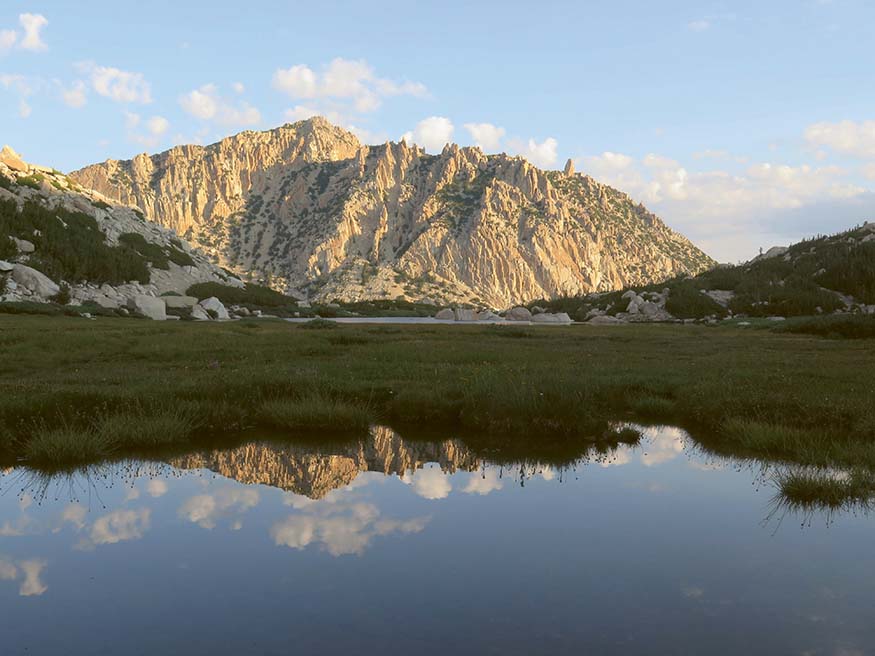
Green Creek drainage (see Trail 3)