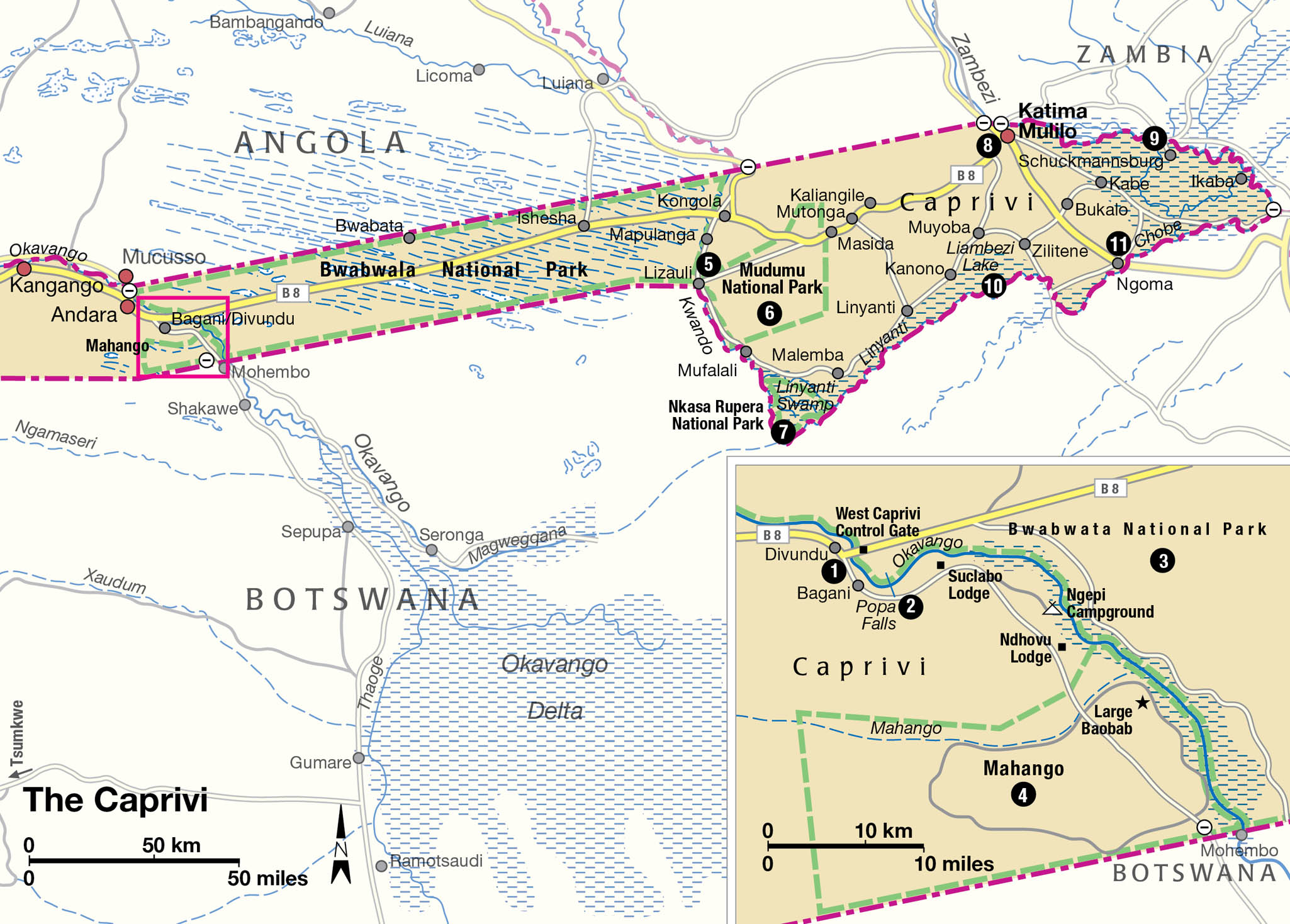
Look at a map of Namibia and you are immediately struck by the strange panhandle of territory, the Caprivi Strip, sticking out to the northeast. Indeed, in order to keep themselves tidy, some maps detach the panhandle and print it elsewhere on the page so that its geographical eccentricity is not readily apparent. Like the straight lines that separate many African countries, the Caprivi Strip was the result of negotiations more than a century ago between colonial powers intent on getting the best deals for their various empires.
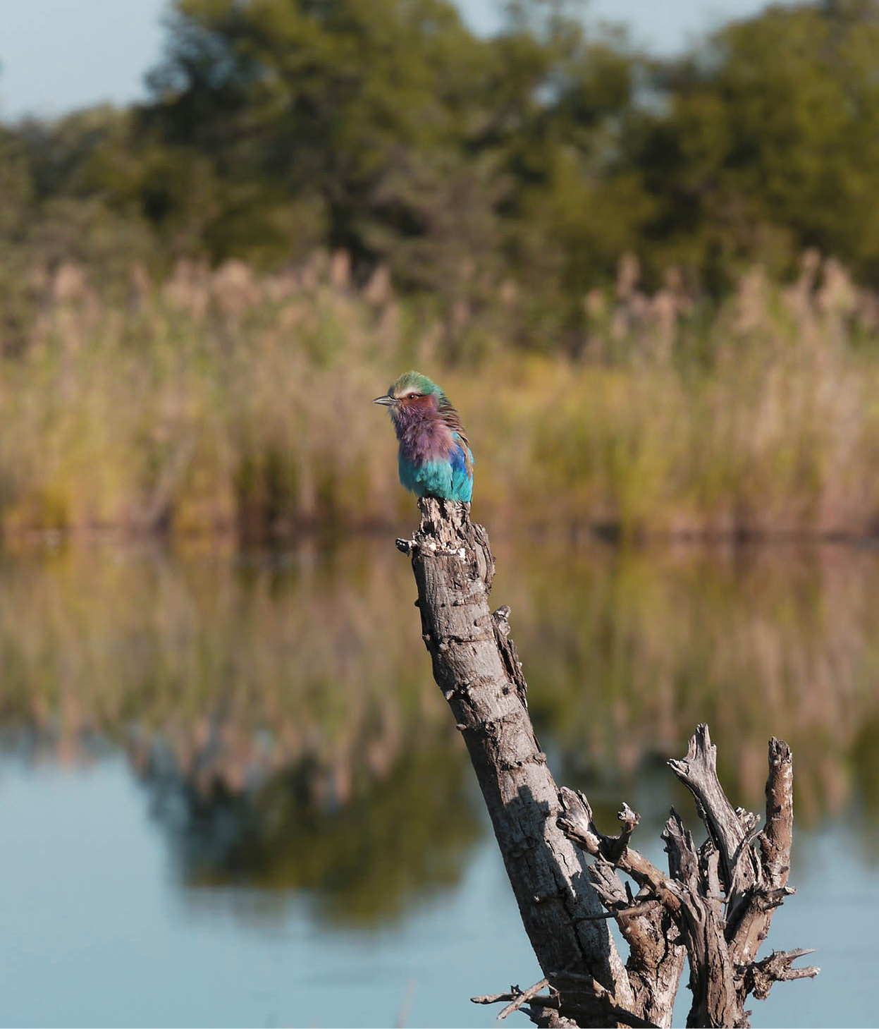
A lilac-breasted roller in Bwabwata National Park.
Fotolia
At the time, Germany had recently annexed Namibia (then South West Africa), and was seeking a trade route to the Zambezi in order – some say – to make an eventual link to Tanzania (then Tanganyika, and also in German hands). Britain was suspicious of her intentions and tried to block them by proclaiming the Protectorate of Bechuanaland (later to become Botswana), which included the Caprivi area. Eventually, both parties met at the Berlin Conference in 1890.
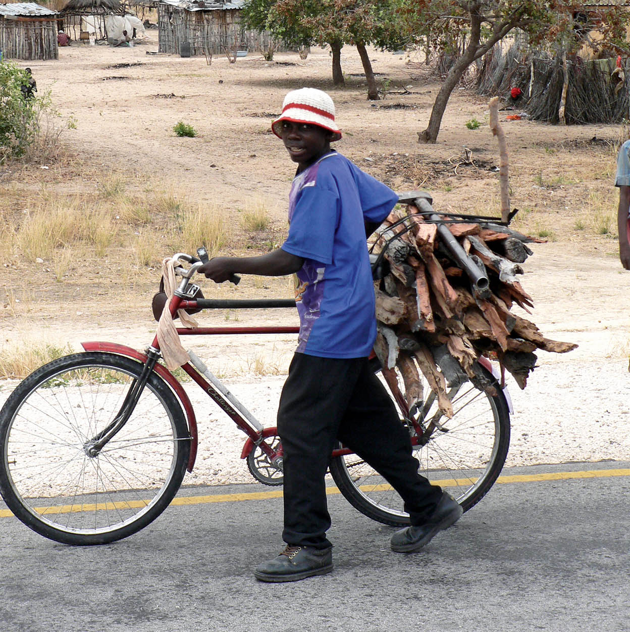
Transportation in Mahango Village.
Ute von Ludwiger/Namibia Tourism Board
Land transactions
In a transaction more reminiscent of a Monopoly game than real life, Britain ceded control of both the Caprivi Strip and Heligoland (one of the North Frisian islands in the North Sea) in return for Zanzibar. The German Chancellor at the time, Baron von Caprivi, gave his name to the country’s new acquisition, and this should have been the end of the story – except that Britain took it back, along with the rest of Namibia, during World War I and governed it as part of Bechuanaland. Later, the Strip was administered by South Africa as part of South West Africa, and finally it became part of the Namibia that achieved independence in 1992.
Most people access the Caprivi area by driving up the B8 from Grootfontein to Rundu and then turning eastwards. About half-way up this road you leave behind the mainly white farming area with its large ranches, cross the veterinary fence erected to control cattle movements (and thus diseases) among livestock, and enter the sort of rural Africa more commonly seen in Botswana, Zimbabwe, Zambia or Angola. After driving hundreds of miles during which you will have barely seen a soul, suddenly there are villages of thatched rondavels by the roadside busy with people and animals. To reach the Caprivi proper, simply continue on the B8 from Rundu, which is tarred all the way to the border with Botswana at Ngoma.
Fact
The Caprivi Strip stretches 450km (280 miles) from the northeast corner of the main part of the country eastward to the Zambezi River. Its width varies from about 32 to 105km (20 to 65 miles). The region is a flat plain, about 950m (3,100ft) in elevation.
Lush lands
The Caprivi is unlike anywhere else in Namibia. As distinct from the hot, dry desert areas, it is more tropical with warmer winters and the highest rainfall in the country. Some 450km (270 miles) long and 100km (60 miles) wide at its broadest, and less than 32km (20 miles) at its narrowest, it is divided into three regions: the West Caprivi or Mukwe Area, the Caprivi Strip proper and Eastern Caprivi.
Much of the land in the neighbouring countries – Angola, Botswana, Zambia and Zimbabwe – immediately bordering the Caprivi is under some protection through conservation legislation. This, combined with the fact that there is an immensely rich variety of habitats – river systems, floodplains, riverine woodlands, and mopane and Kalahari woodlands – means that the wildlife in the Caprivi is equally rich. In a country where otherwise the only permanently flowing rivers are on its northern and southern frontiers, the presence of a constant supply of water is luxury indeed.
So flat and devoid of physical features is the region that 30 percent of the Eastern Caprivi can be flooded during the rains. One consequence of this is that you will find game in this region not found elsewhere in Namibia. Obvious water animals are hippo and crocodile but there are also antelope which are equally tied to water and more often thought of as being found in the neighbouring Okavango Delta such as red lechwe, sitatunga and reedbuck. Other game is also here in large numbers: no less than 60 percent of Namibia’s elephants and buffalo use the area and there are calculated to be close to 6,000 elephant here; no respecters of international frontiers, they regularly move between the Caprivi and the four neighbouring countries. They are considered to be part of the much larger population of approximately 125,000 elephants that live in the region.
A late start
Despite all this, it was only in the late 1990s that the Caprivi started developing as a tourist destination. Wilderness that had been a virtual war zone prior to independence – when the former South African Defence Force was engaged in a war with independence-seeking guerillas based in Angola – and wildlife that had been persecuted by both the military and the guerrillas now began to rehabilitate rapidly.
For the tourism industry this was a heaven-sent opportunity, and it wasn’t long before the first luxury lodges appeared in the far eastern end of the panhandle, where Zambia, Zimbabwe, Botswana and Namibia share a border. Western Caprivi has been slower to develop mainly as it abuts Angola, where a civil war has been raging for 25 years. Tourist accommodation around here is still rather more rustic and “no-frills” than the upmarket establishments at the other end of the strip.
Bwabwata National Park
A little over 200km (120 miles) from Rundu, you will reach Divundu 1 [map] where you leave the B8 and take the Botswana road towards Mohembo to reach the Okavango River at Popa Falls 2 [map]. The river here forms the western boundary of the 6,275 sq km (2,422 sq mile) Bwabwata National Park 3 [map], which was formally proclaimed in 2007 and combines the former Caprivi Game Reserve (created in 1968 but largely ignored as a conservation entity since the South African Defence Force took over shortly afterwards) and the smaller but better-preserved Popa Falls and Mahango Game Reserves. The park is bisected by the main surfaced road through the Caprivi Strip for 180km (112 miles) before it reaches the Kwando River on its eastern boundary. Bwabwata is the Namibian component in the Kavango–Zambezi Transfrontier Conservation Area, which extends across 278,000 sq km (108,600 sq miles) – an area comparable to Italy – from the Caprivi into Botswana, Angola, Zambia and Zimbabwe).
A lovely spot for an overnight stay, Popa Falls is not so much a waterfall as a long set of rapids, where – thanks to a geological fault manifested here as a broad quartzite ledge – the Okavango River drops some 2.5 metres (8ft) through a maze of islands. Small it may be, but the influence of the falls on the surrounding land is immense; this is the start of the basin in which the Okavango River gradually spreads across the Kalahari to create the famous inland Okavango Delta.
The banks of the river are dominated by knob thorn acacia and other mature species, while the small islands, connected by bridges, are home to a wide variety of interesting birds including: both pied and malachite kingfishers, swamp boubou, black crake and rock pratincole.
An avian paradise
Mahango Game Reserve is one of the richest ornithological sites in Namibia, with more than 400 bird species recorded. As you might expect, in the river and wetland areas there are many water-associated species, including fish eagles and various plovers, kingfishers, egrets, cranes and storks. African skimmers, a vagrant to South Africa and considered to be threatened in Namibia, nest on sandbanks in the river. These black and white birds fly along with the lower mandible of their bill, which extends beyond the upper mandible, just under the surface ready to snap up any small fish that should come their way. There are also numerous woodland species, too, including several raptors, and both Meyer’s and Cape parrots.
If you continue along the Botswana road for 40km (24 miles) south of Popa Falls, you reach the former Mahango Game Reserve 4 [map], which now forms part of Bwabwata National Park. Although small, Mahango is the best part of Bwabwata for general game viewing, and many regard it as ranking among the top wildlife destinations anywhere in the country. Its tall riverine forest includes large baobabs, while the floodplains that flank the river are a good place to spot red lechwe and reedbuck. Sable and roan also do well here, and there are large numbers of elephant, buffalo, hippo and crocodile. Nevertheless, the sheer density of the vegetation, which is what the mammals find so attractive, can make game viewing a frustrating business.
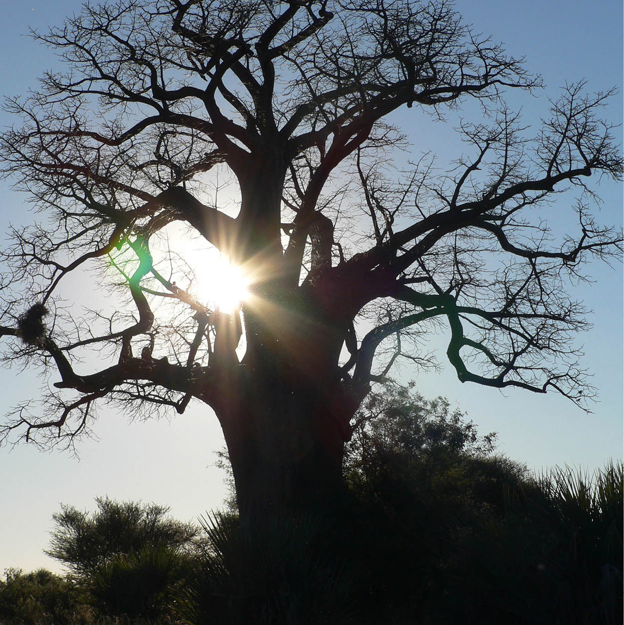
Mahango Game Reserve.
Ute von Ludwiger/Namibia Tourism Board
Mudumu National Park
Head east along the B8, you’ll exit Bwabwata National Park at the Kwando River, shortly after which a right turn onto the D3511 will lead you past signs for the Lizauli Traditional Village 5 [map], a living open-air museum. Here, you can shop for locally made handicrafts and learn about traditional Caprivian fishing and farming methods, music, basket-making and traditional medicine on an informal tour. From here it’s just a short drive to the northern boundary of one of Namibia’s newest national parks, Mudumu. Both this and its equally new neighbour, Mamili National Park, require a 4x4 vehicle to explore them, and both are still in the development stages as far as facilities for visitors are concerned.
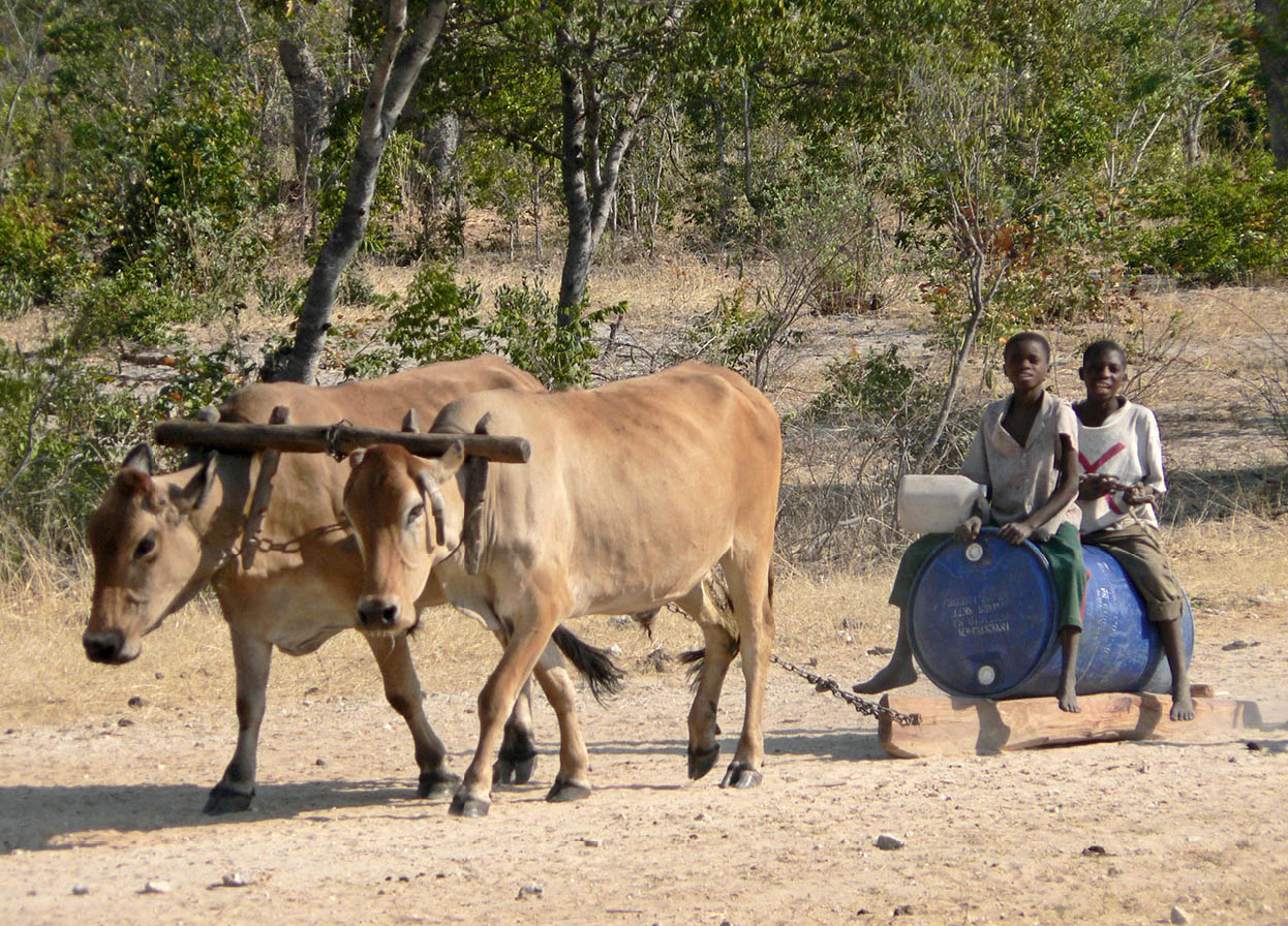
Two children ride on a makeshift sledge pulled by oxen.
Ute von Ludwiger/Namibia Tourism Board
Mudumu National Park 6 [map] is mainly a woodland park with some wetland where it flanks the Kwando River. Since being gazetted, the amount of game in the park has increased and now there are substantial numbers of impala, zebra and kudu as well as slowly growing populations of sable, roan and tsessebe. Predators tend to be rare here, although wild dog are seen from time to time. The woodland is mixed – some areas are mopane while others close to the river, consist of various figs, acacias and sausage trees. Walking tours are available, too.
Nkasa Rupara National Park
Renamed Nkasa Rupara National Park 7 [map] in 2012, the former Mamili National Park, set in the very south of eastern Caprivi, where the Kwando River becomes the Linyanti, was even less developed than Mudumu prior to the opening of the exclusive Nkasa Rupara Lodge in 2011. Adjoining the Okavango Delta and based around two large wooded islands, Rupara (or Lupala) and Nkasa, the area is actually very similar to the Delta in its maze of channels, islands, lagoons and peninsulas. When flooded, about 80 percent of the park is covered by water but in the dry season there are oxbow lakes, great floodplains and large reed beds.
This is the largest protected wetland in Namibia, so game is not as abundant here as it is in some of the country’s other parks (but then nor are other tourists). This is, however, an excellent area for mammals, with large herds of elephants, sitatunga, lechwe and reed buck. Both lions and hyenas are regularly seen, too, and it’s home to one of the largest concentrations of buffalo in Namibia – over a thousand animals.
Nkasa Rupara is wonderful for birds, too. At least 450 species – some 70 percent of Namibia’s total – might be spotted here, including rare wattled cranes which nest in the park, three species of coucal – Senegal, coppery-tailed and black – chirping cisticola and slaty egret. Geese and ducks abound when the park is flooded, while summer migrants include squacco herons, yellow-billed kites and several roller species. The loop road through the area will return you to the B8 at Mutonga, about 110km (65 miles) east from where you left it.
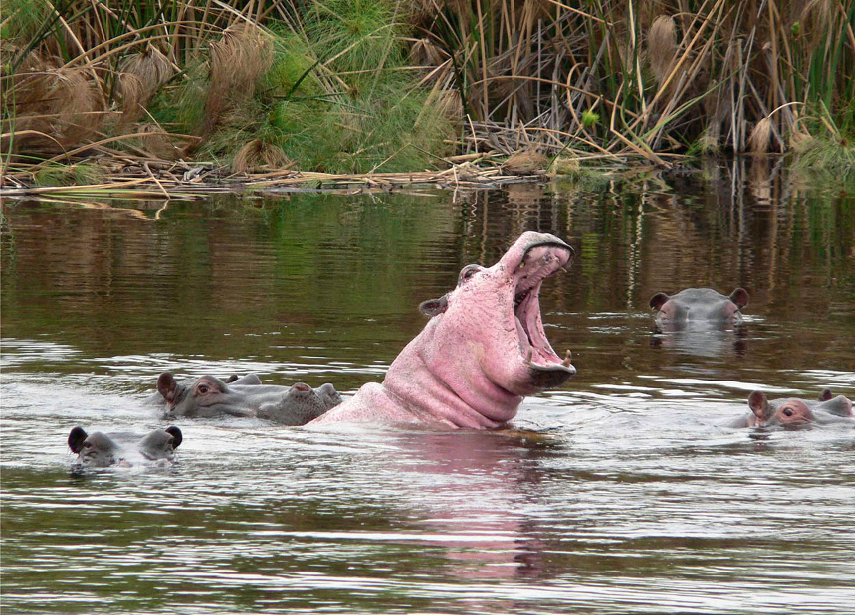
The hippopotamus usually remains under water during the day, but will emerge at night to graze.
Ute von Ludwiger/Namibia Tourism Board
Another 110km (65 miles) east along the B8 brings you to Katima Mulilo 8 [map], the Caprivi’s regional capital. Set on the bank of the Zambezi, Katima was established by the British in 1935 to replace the original German headquarters in the area at Schuckmannsburg 9 [map], further east along the river. It’s a thriving place with a distinct frontier feel, bolstered by the fact that you can cross the border into Zambia from here, over a newly opened bridge. Local landmarks include a giant baobab painstakingly hollowed out and fitted with a toilet by a former regional commissioner; it stands behind the Caprivi Regional Council building.
Katima is the supply hub for a growing number of tourist lodges in the area, and the urban refuge to which various safari operators are drawn when they leave the bush. It’s a good place to pick up supplies (especially as it has a colourful market), get car repairs carried out and change money, but bear in mind it is also reputed to be the only town in the world where elephants have priority!
Lake Liambezi
South of Katima is Lake Liambezi ) [map], which now rarely holds water due to a drop in the Zambezi’s flow. This peaked between 1946 and the late 1970s, when Victoria Falls carried around 1,400 cubic metres (4,592 cubic feet) of water, double the figure for the early 20th century, but it fell dramatically again in the early 1980s. As a result, Lake Liambezi filled with water in the 1950s, for the first time since the hunter Frederick Courtenay Selous recorded seeing it full in 1879, and it became an important feature of the eastern Caprivi, supporting a huge fishing industry.
The lake dried up again after 1982, giving way to cultivation and grassland for cattle, and if it is ever to flood again, it will most likely be through the Chobe River, which reverses its flow when the Zambezi is high.
To the border
From Katima, the tar road continues for a further 70km (40 miles) to the border post at Ngoma ! [map]. Once over the border in Botswana, you can take a gravel road through Chobe National Park to Kasane. From here you can travel south into the rest of Botswana, or cross into Zimbabwe and follow the mighty Zambezi to see it plummet over the magnificent Victoria Falls.
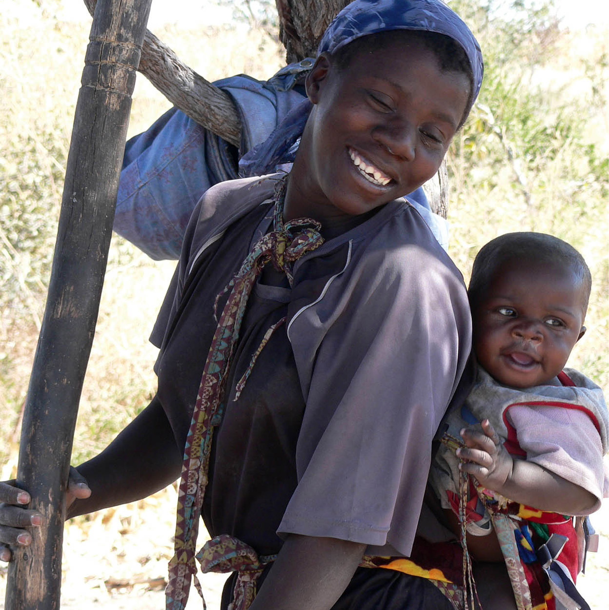
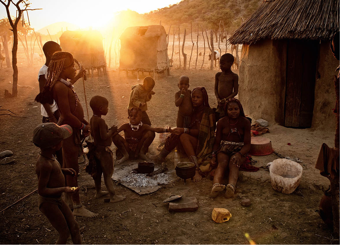
Kavango women go about traditional tasks, such as childcare.
Ute von Ludwiger/Namibia Tourism Board
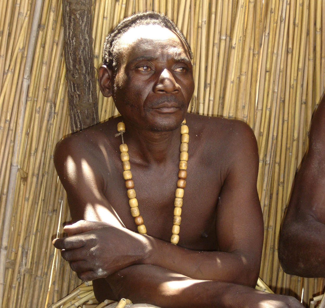
The Kavango people are traditionally riverine.
Ute von Ludwiger/Namibia Tourism Board
The Kavango
The lush floodplains of the Okavango support Namibia’s second-largest ethnic group, who share their name with the river on which their livelihood depends.
The Kavango people inhabit the wide floodplains that flank the Okavango River as it runs for more than 400km (240 miles) along the border with Angola. Many of those living on the Namibian side of the river were originally based in Angola, but fled south in the 1970s to escape that country’s civil war. As a result, the Kavango population of Namibia has almost doubled in size over recent years, to stand at almost 200,000 today.
Between them, the five main Kavango clans speak four different dialects. The Kwangari in the western region and their immediate neighbours, the Mbunza, speak a common language. Shishambyu and RuGciriku are also closely related, but the ThiMbukushu in the east has less affinity with other dialects.
Traditionally, the Kavango have made their living by fishing and by cultivating sorghum, millet and maize on the fertile ground. Today, however, thousands of young Kavango people work as labourers on farms, in mines and in urban centres. Another important local industry is woodcarving for tourists and the commercial market. The main technique used here is hewing with the aid of an adze (an instrument like an axe, with the blade at right angles to the handle); knives are only used for the fine touches. Unfortunately, most of the work is produced with the mass market in mind, but here and there a genuine work of art can be found.
As with most other groups in northern Namibia, Kavango social organisation is matrilineal. This penetrates all spheres of social life, in particular family law, the law of inheritance and succession, the marriage system, the political structure and the traditional religious system. Kavango mythology centres on a supreme being called Karunga, who is guided by celestial bodies to protect people. Stars are said to be Karunga’s fireflies, which amass in the sky on moonless nights to give more light. Ancestral worship also plays a large role in traditional religion and in warding off the demonic powers of Karunga’s evil servant Shadipinyi, who delights in exposing human weakness.
State of transition
As in so many parts of Africa, the Kavango are in a state of transition from the old traditional order to new forms of economic, social and political life. Christian missions have played an important part in this transition phase, a key role having been undertaken by the Catholic Congregation of the Oblates of the Virgin Mary, now deeply rooted in Kavango society. German, and later Finnish, missionaries pioneered work in the fields of education, health, agriculture and commerce here. For many years they were the dominant development agency until government bodies took over much of their work.
Numerous enterprises all over the region bear witness to the development programme carried out by the government. There are now about 100 schools. At Rundu a government hospital with three operating theatres, modern sterilisation facilities, a well-equipped X-ray section and a steam laundry were erected a few years ago. The leper and TB hospital at Mashare can accommodate over 400 patients.
In addition, where until recently vehicles had a difficult drive along deep sandy tracks – parts of which could only be negotiated by a four-wheel-drive – there are now well-constructed roads.
