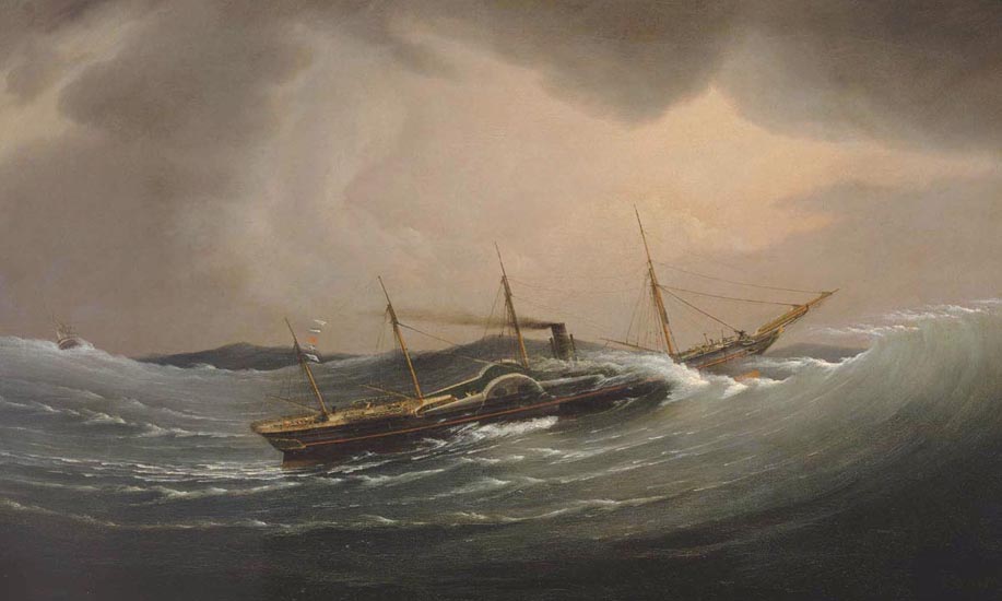
The Great Western riding a tidal wave, 11 December 1844’, by Joseph Walter, 1845
{National Maritime Museum, Greenwich, London}
O’er the glad waters of the dark blue sea, Our thoughts as boundless, and our souls as free, Far as the breeze can bear, the billows foam, Survey our empire, and behold our home!
Byron, The Corsair, Canto I1
This story of the search for a way to find longitude at sea has taken us through several centuries and around the world. Monarchs, mathematicians, artisans, businessmen, politicians and mariners have all played their roles in defining the problem, looking for solutions and slowly making them part of life at sea. Many of the risks of sea travel remained but keeping track of, or finding, a ship’s longitude became possible for any well-supplied vessel with a trained crew. Crucially, this position could be tracked on reliable charts, which themselves had been made possible by the infrastructure that had supported the longitude solutions – a thriving instrument trade and government investment in astronomical observatories and specialist skills.
These milieus revealed the abilities and dedicated effort of some remarkable individuals. Many well-known figures in the history of science – Galileo, Huygens, Newton, Halley – helped explore possible avenues of research, but others, from all walks of life, had to enter the story to turn theory into practice. Some names have, of course, loomed larger than others in the preceding pages. John Harrison’s remarkable abilities, for example, led to a career unique in eighteenth-century Britain: by receiving government support he was able to focus on just one problem over three decades. However, the time was ripe for such inventions. Other clock- and watchmakers, in Britain and in France, were also developing the necessary skills, materials and processes. It was their combined efforts that developed the marine chronometer.
Astronomy, always the closest ally of horology, was an even more international affair. Newton’s theories were improved by French mathematicians and applied by the Hanoverian Tobias Mayer to tame the complex theory of the Moon’s motions sufficiently to meet the purposes of navigators. While the French showed how these numbers could be processed to aid their use at sea, it was the head of the Royal Observatory, backed by a government board, who established a system that made the production of such tables a matter of ongoing routine. Nevil Maskelyne’s Nautical Almanac was widely copied and put to use around the world, supporting all methods of navigation. Maskelyne himself did much to ensure the development and use of marine timekeepers, and his successors as Astronomer Royal added supervision of the Royal Navy’s chronometers and time signals to their daily business.
By the nineteenth century, the tools existed to allow naval officers and other travellers to chart their courses accurately and to carry out detailed surveys. The world slowly became better mapped and defined. This was for good and ill. While improved navigation and charts helped reduce the risk of sea voyages, they also supported military and imperial endeavour, and the exploitation of many people and resources for the profit of a few.
It was not until the twentieth-century advent of, first, wireless radio signals and, later, positioning systems including satellite navigation, that these nineteenth-century methods became obsolete. On 1 November 1968, it was decreed that ships of the Royal Navy should cease to carry marine chronometers, although sextants, almanacs and, of course, dead reckoning remained as a back-up to electronic devices. Given the potential vulnerability of a military-backed system like the Global Positioning System (GPS), it is worth remembering that, should a ship in open water lose communication and its longitude, it is only by astronomy that the latter can be re-established.
It is more than likely that the new longitude techniques would have been developed without the passing of the Longitude Act of 1714, for other rewards or the possibility of developing a profitable business were reason enough to invest in potential solutions. The Act did, however, help cement a lasting alliance between the scientific academy, comprising Oxford and Cambridge universities and the Royal Society, and government. Today, government investment in science and technology, while often appearing under threat, has grown beyond anything that could have been imagined at the start of the nineteenth century. This has not stopped a revival of interest in the idea of retrospectively rewarding those who solve defined problems. Challenge prizes have proliferated since the creation of the XPRIZE Foundation, which sets up competitions and offers large prizes to the winners. The first X Prize was offered to the first non-governmental organization that could launch a manned spacecraft twice within two weeks. It was won in 2004, with the $10 million prize having inspired an estimated total investment of $100 million by the twenty-six competing teams.
This year, 2014, will see the launch of a new prize that is partly funded by the British government. At the time of writing it is being promoted as a new Longitude Prize, although the issues it will attempt to tackle are yet to be decided. Unlike the original backers of the 1714 Longitude Act, the organizers also hope to gauge public opinion on what questions might be answered, although ultimately the range of possible problems and potential solutions will be defined by scientists and politicians. Our story here has shown that, whatever the topic, it will be necessary to outline the terms of the prize with care and to develop the infrastructure required to put new ideas into regular practice.
The effort to map and understand our world – to measure it, its resources and populations – was begun in earnest in the nineteenth century and continues today. It is an inherently political process but, as well as revealing opportunities to gain power and profit, it should also help us to identify and perhaps solve some of the problems that we face on a planet both seemingly smaller and undoubtedly more stressed than it was in 1714.
The Great Western riding a tidal wave, 11 December 1844’, by Joseph Walter, 1845
{National Maritime Museum, Greenwich, London}