

1. Idealized geography: an early fourteenth-century map of Jerusalem.
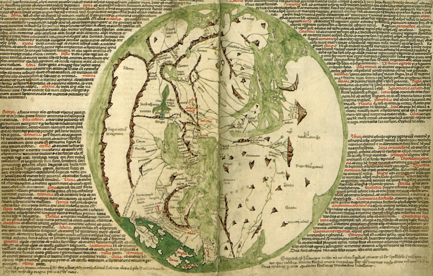
2. The world as understood by crusader planners in the early fourteenth century.
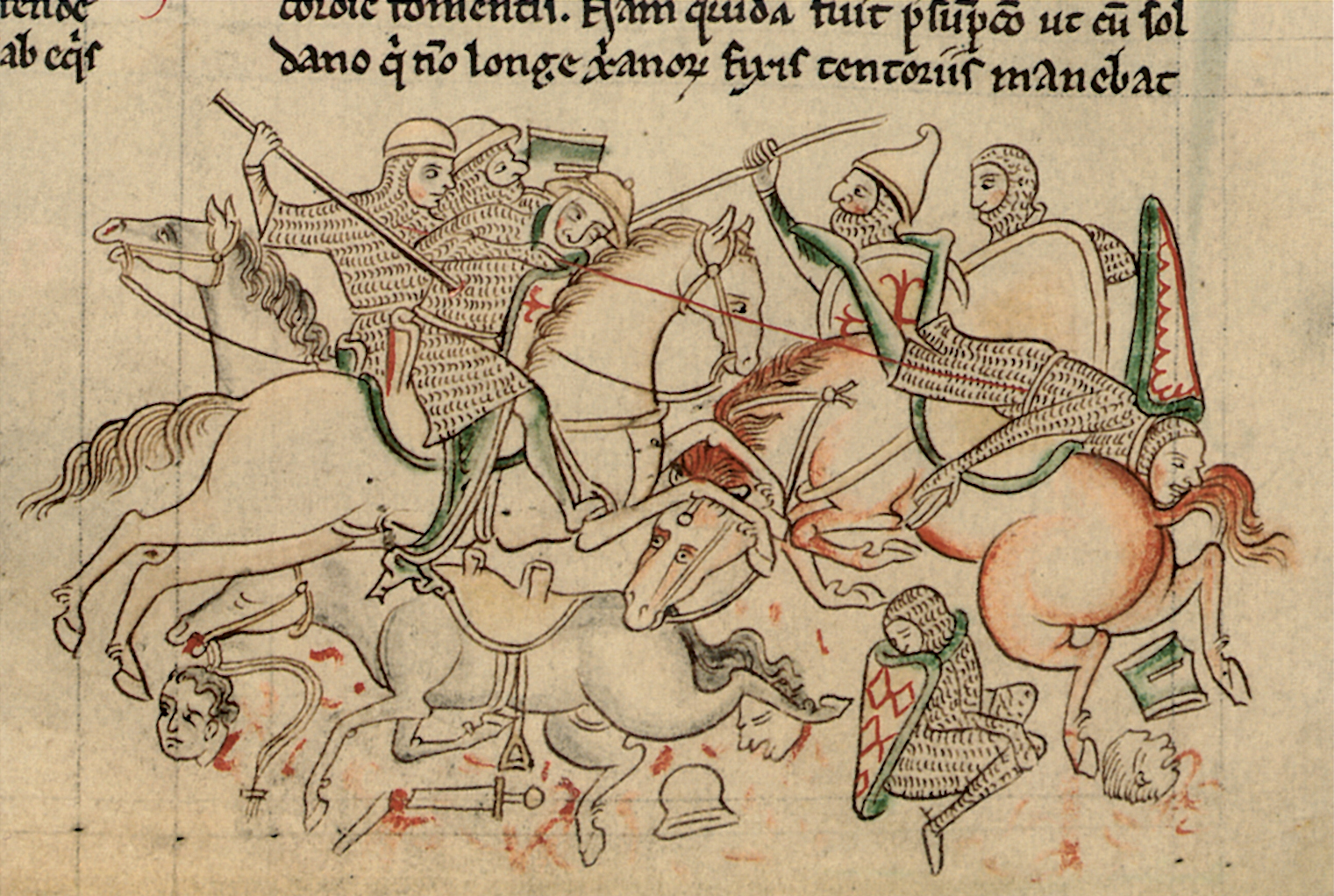
3. Crusade and chivalry: a battle outside Damietta during the Fifth Crusade.
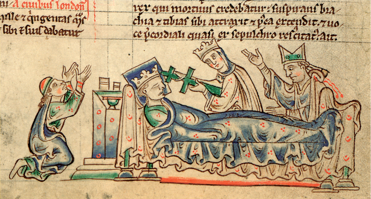
4. Louis IX of France taking the Cross on his sick-bed, 1244.
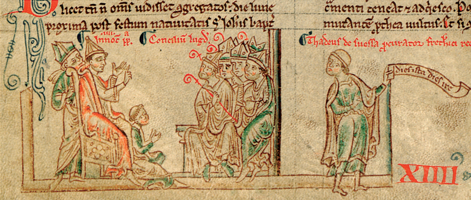
5. Planning crusades: the First Council of Lyons, 1245.

6. Preachers of the crusade: a thirteenthcentury image of a Franciscan friar.

7. Louis IX of France displaying relics linked to the Holy Land: the True Cross and the Crown of Thorns.

8. Scare stories: Mongols depicted as cannibals.

9. Crusade diplomacy: the count of Brittany negotiates with al-Nasir of Kerak, 1240.

10. A crusade transport galley.

11. The power of credit: a thirteenth-century monk’s view of the purses of Cahorsin financiers.

12. Crusade diplomacy; the release of French prisoners from Egypt, 1241.
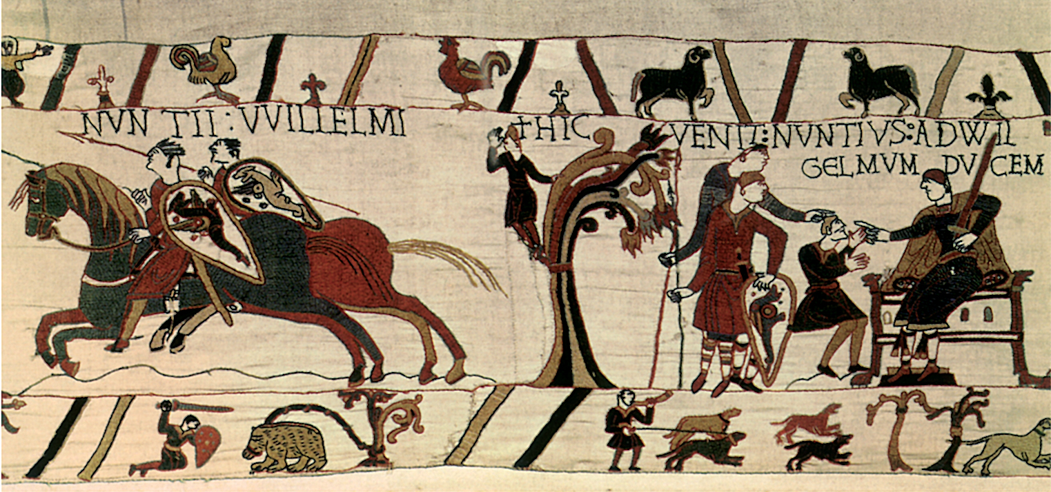
13. Communications: late eleventh-century messengers.
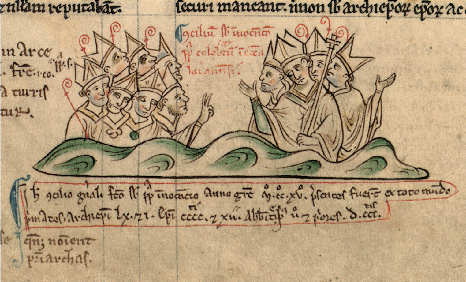
14. Planning crusades: the Fourth Lateran Council, 1215.

15 and 16. The logistics of medieval warfare: shipbuilding.

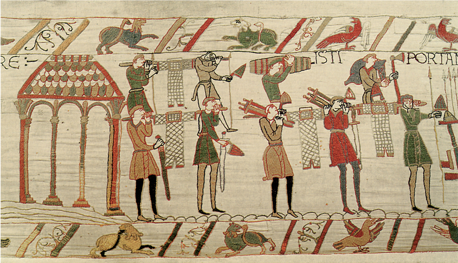
17 and 18. The logistics of medieval warfare: arms and supplies. (See p. 256.)

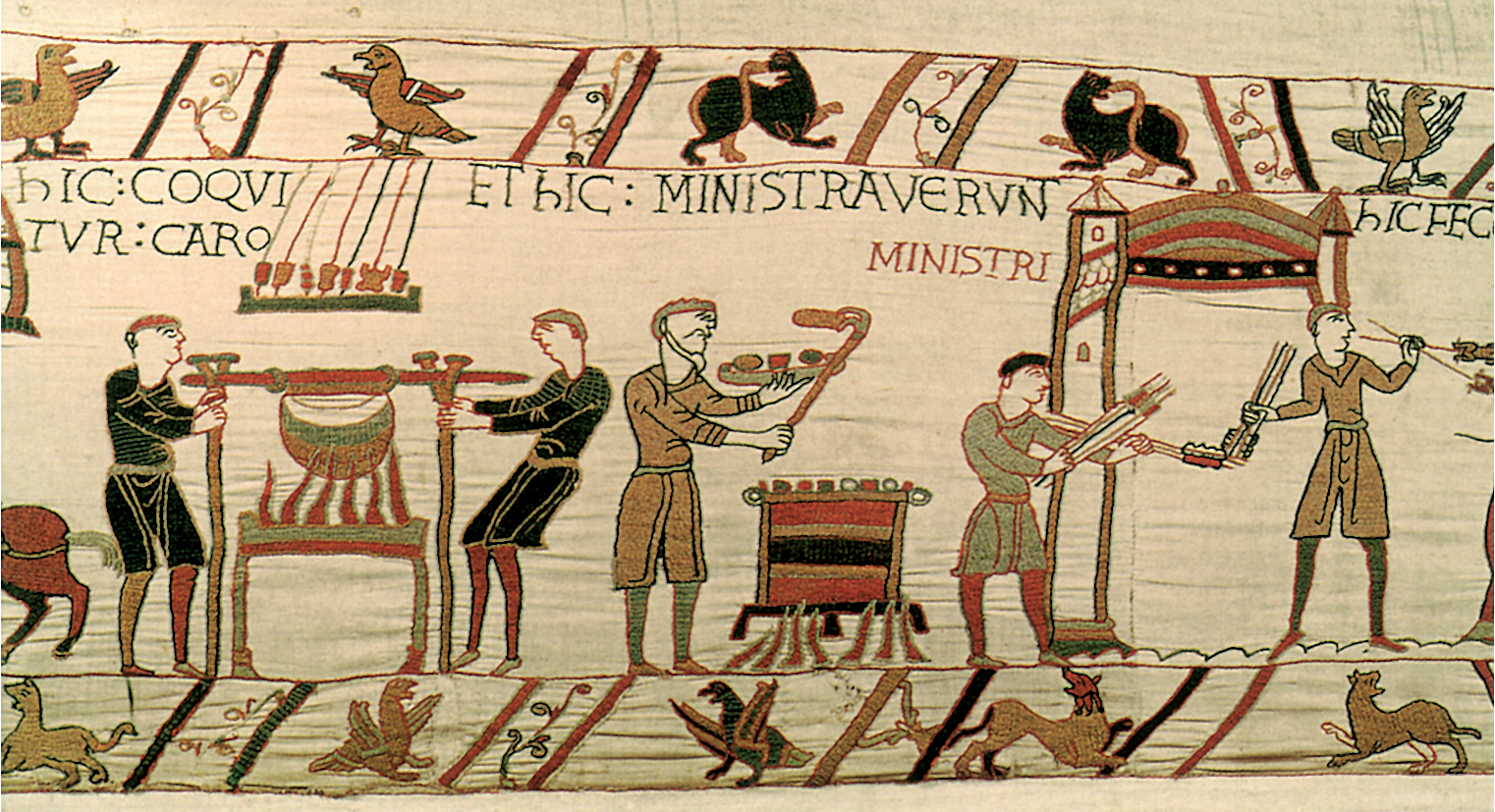
19. The logistics of medieval warfare: food. (See p. 256.)

20. One of the first crusaders: Odo of Bayeux in armour at the battle of Hastings. (See p. 273.)

21. Naval warfare, with attendant priests: a battle between Pisans and Genoese.
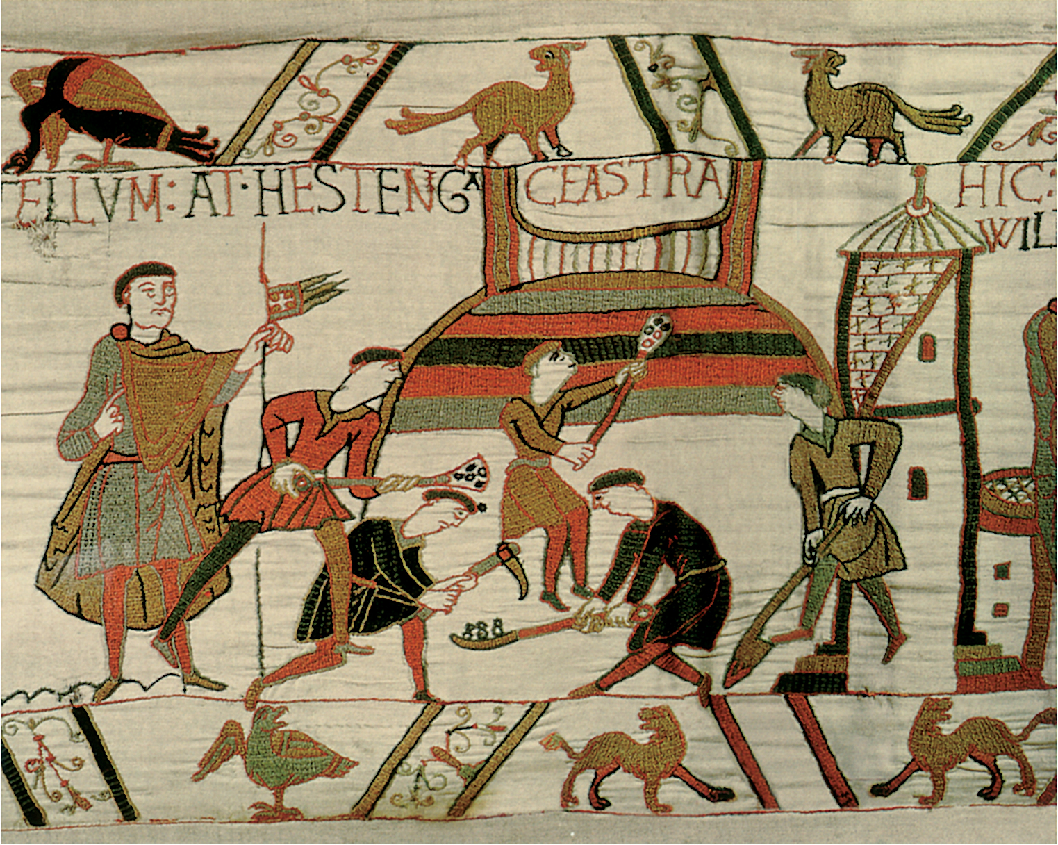
22. Building a battlefield fort.

23. A thirteenth-century Englishman's view of the Holy Land. (See p. 280.)
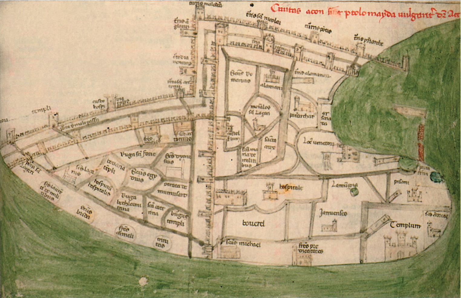
24. An early fourteenth-century plan of Acre. (See p. 282.)

25. Knowing where to go: from a thirteenth-century itinerary from London to southern Italy.
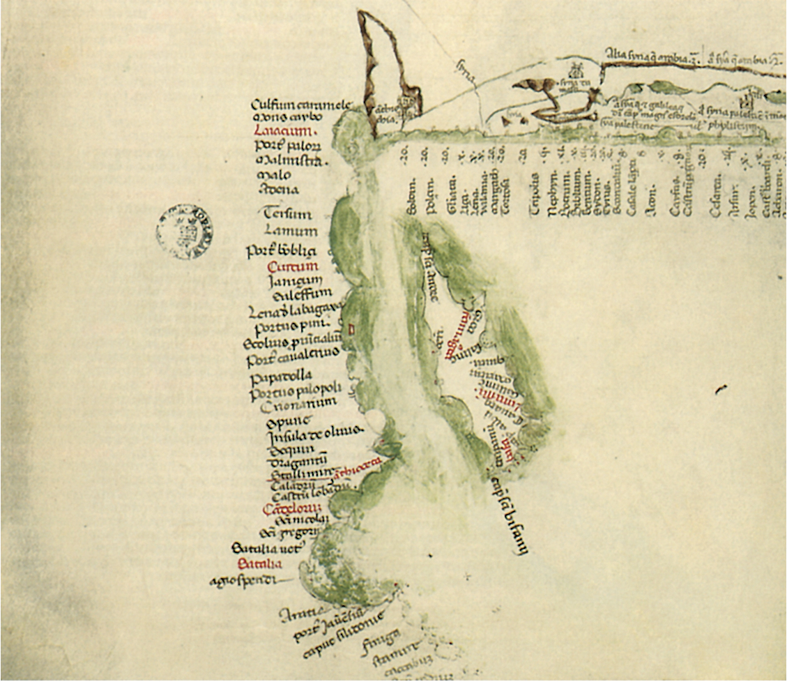
26. Knowing where to go: an early fourteenth-century chart of the Near East.

27. How to influence people: Marino Sanudo Torsello presenting copies of his treatise on how to recover the Holy Land to Pope John XXII in 1321. (See p. 282.)
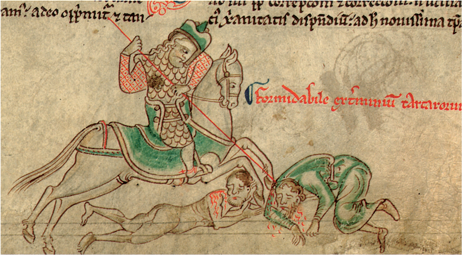
28. New strategic threats: the Mongol invasion of eastern Europe.

29. Knowing what to find: a grid map of the Holy Land. (See p. 282.)