Nine
CLARKSVILLE
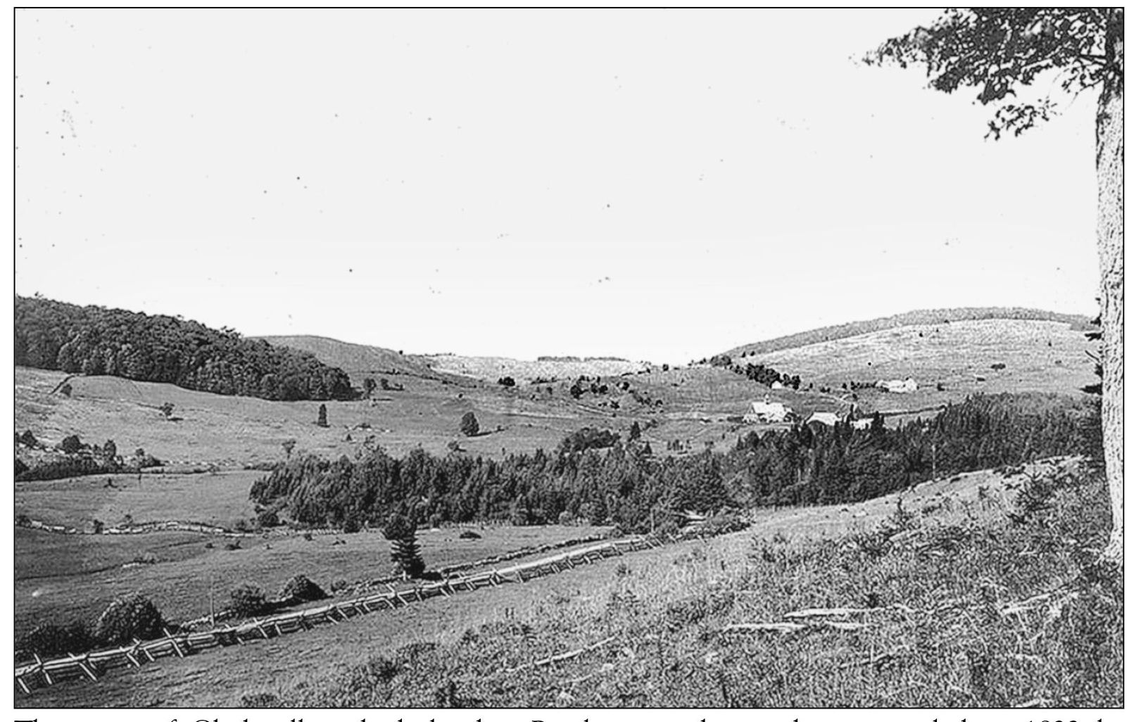
The town of Clarksville, which borders Pittsburg to the south, was settled in 1832 by Benjamin Clark and at the time was known as the Dartmouth College Grant. When it was incorporated in 1853, the Dartmouth College Grant became Clarksville. Clark and two others had purchased 10,000 acres of land from the Dartmouth grant, while another 20,000 acres was purchased by two New York men. After failing to pay their taxes, the New Yorkers’ land was sold to Gideon Tirrill and Josiah Young. Dating from 1876, the Bacon Road covered bridge connecting Clarksville and Pittsburg over the Connecticut River is the northernmost covered bridge over this river. This photograph appears to date between 1880 to 1900 and shows Clarksville, looking in the direction of Ben Young Hill. The back of this photograph reads, “The old Home Clarksville, N.H.” The dirt path seen in this photograph has come to be known by many as the “mountain road,” or Route 145. (Photograph courtesy Granvyl Hulse.)
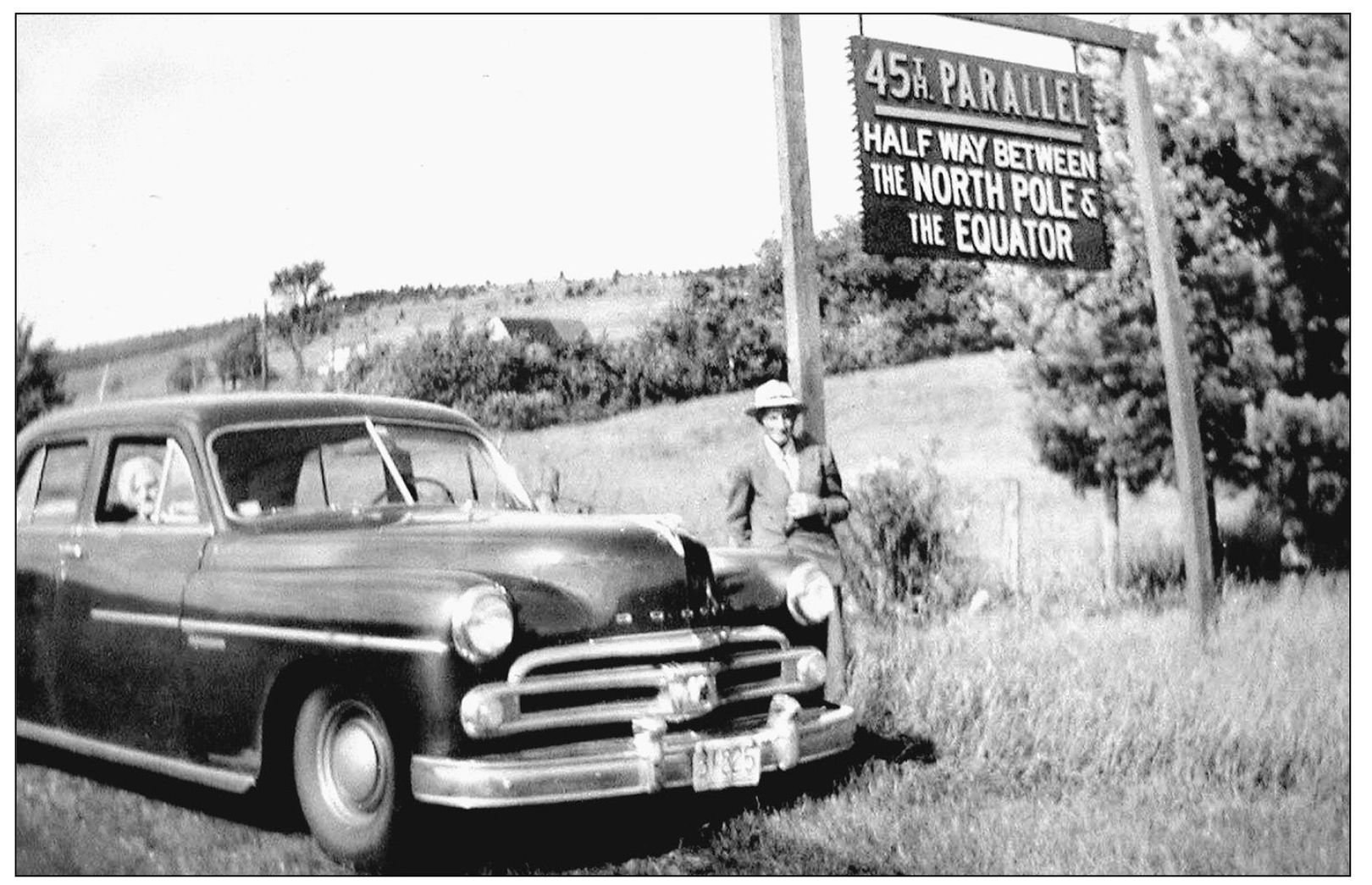
Welcome to Clarksville, a host town to the 45th parallel, the imaginary line that marks the halfway point between the equator and the North Pole. Mabel Young and Frank Perry are seen in 1953 next to the sign that was located in front of what is now the home of Elwin Ladd. The present-day sign is closer to the actual line, at the junction of Route 145 and West Road. (Photograph courtesy Beverly Uran.)
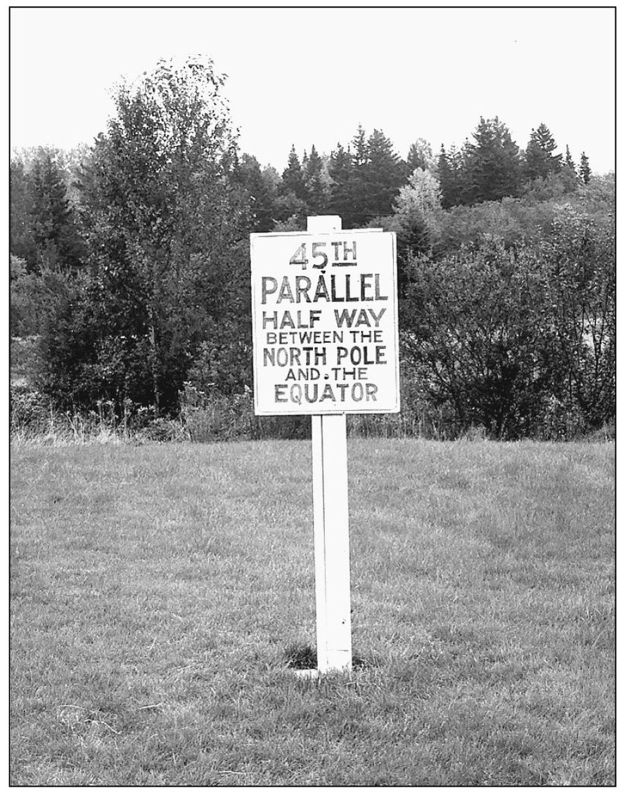
This 45th parallel sign marked the actual line and was brought to Clarksville in 1997. (Photograph by Charles Jordan.)
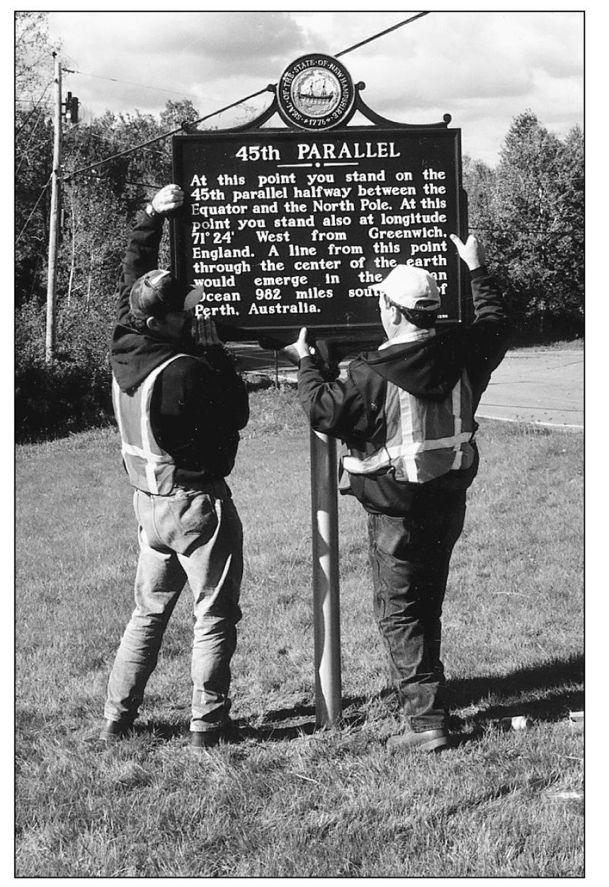
A crew from the New Hampshire Department of Transportation places the newest 45th parallel marker on Route 145 in 1998. (Photograph by Charles Jordan.)
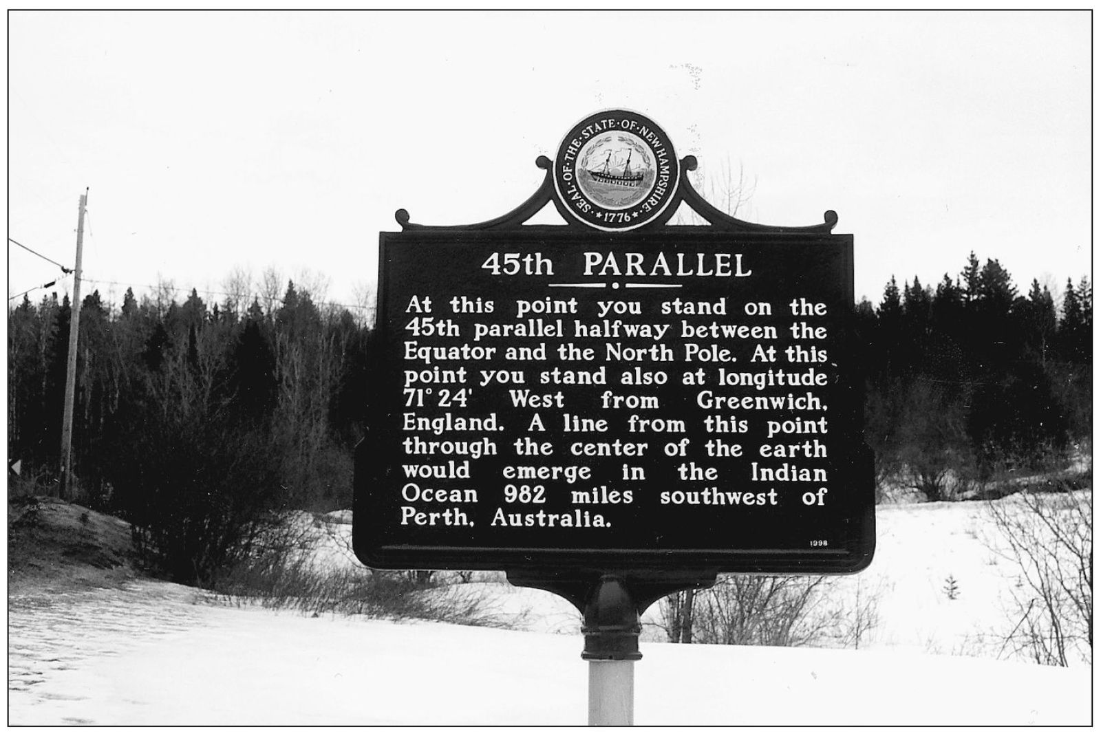
A closeup of the 45th parallel marker reveals the exact location on the opposite side of the earth from Clarksville. (Photograph by Charles Jordan.)
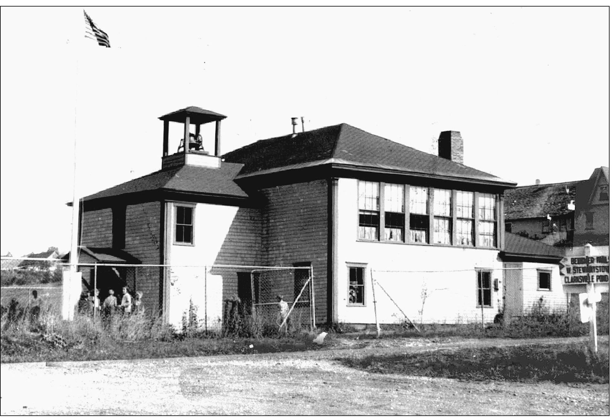
In the mid-1930s, the old Clarksville Dairy Company building was sold to the Clarksville School District, which turned it into a two-room schoolhouse for the town’s student population. As a result, the town closed down several other school buildings in the process. The first floor of the new school was considered the basement, housing the two restrooms. The second floor featured two classrooms, with grades one through four on one side of the building and grades five through eight in the other. This photograph of the cheese-factory-turned-school was taken in the late 1930s. This is the oldest standing commercial building in Clarksville. Today, the building’s first floor is home to the author and her family, and the second floor houses their publishing office for the Colebrook Chronicle, the Lancaster Herald, and Northern New Hampshire Magazine—the northernmost publications in the state.
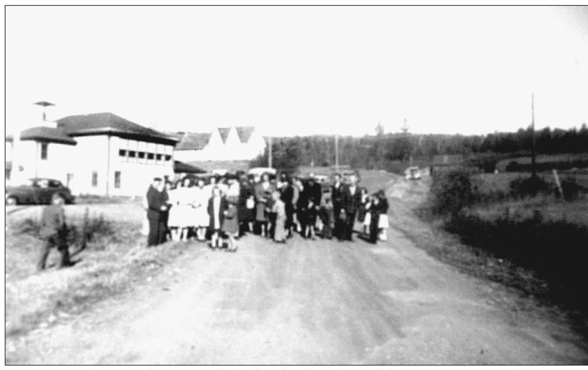
In October 1943, the town of Clarksville gathered together to dedicate a 10-star service flag, marking each person from Clarksville who was, at that point, in the service during World War II. It was suspended between two poles across Route 145 near the Clarksville School. After the flag was dedicated, other Clarksville residents also went on to serve in World War II. (Photograph courtesy Earl Richards.)

This late-1930s photograph shows a class from the Clarksville School.
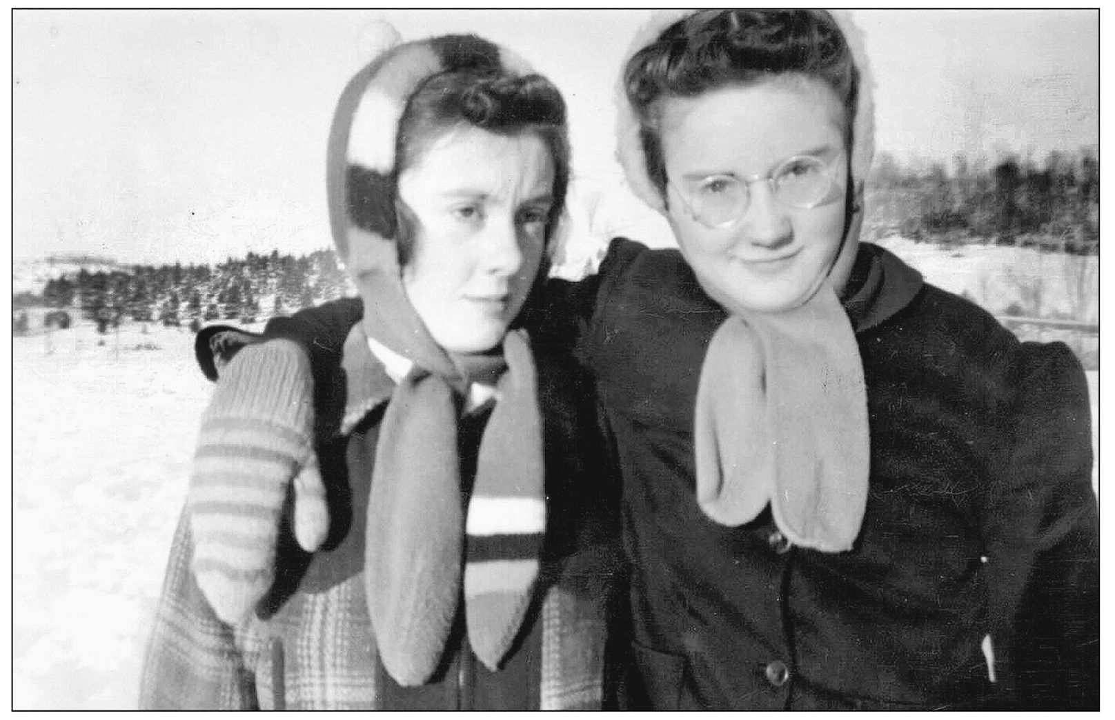
Friends Marjorie Keezer (left) and Madeline Paquette are pictured in 1939. The photograph was taken in front of the Clarksville School, looking down West Road. (Photograph courtesy Earl Richards.)
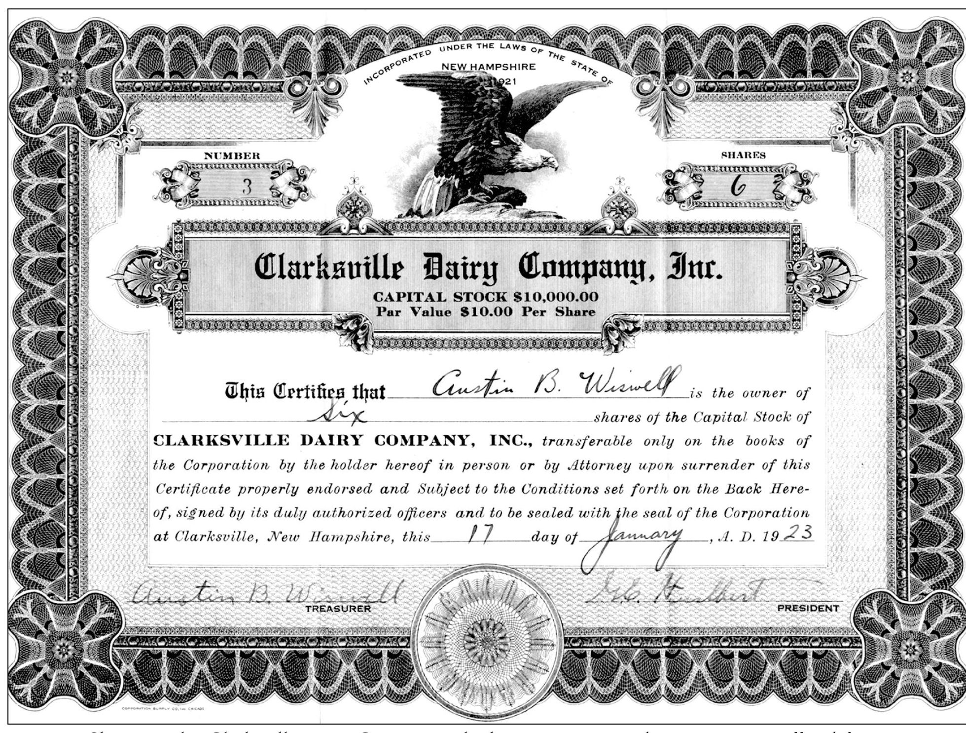
Shares in the Clarksville Dairy Company, which was incorporated in 1921, were offered for sale, with Austin Wiswell as the company’s treasurer and Gerard E. Hurlbert as its president.
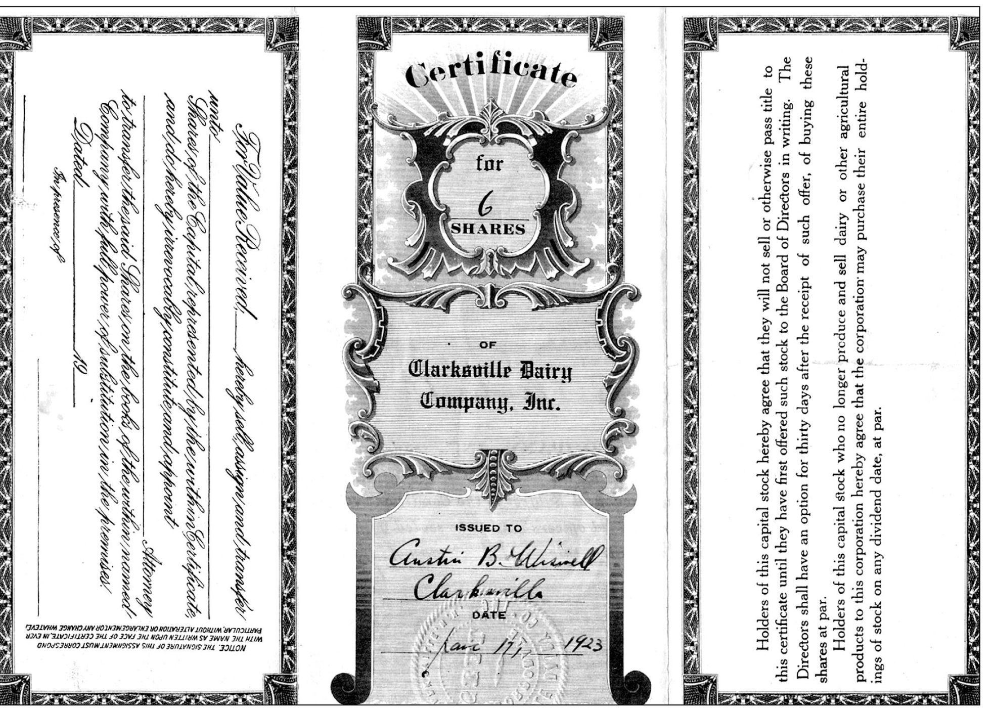
The other side of a Clarksville Dairy Company stock certificate shows that these shares were issued to Austin Wiswell in 1923.

This photograph was taken at Carr’s Camp in Stewartstown, near the Clarksville-Stewartstown town line. Daphne’s parents, Celia and Harry Hurlbert, were good friends of the Richards family, and they all lived, at one time, on West Road in Clarksville. The woman in this photograph is Ardes Richards. Shown at the far right with the suspenders and mustache is her brother Willie Heath. (Photograph courtesy Daphne Hurlbert Godfrey.)

Dating from the early 1920s, this photograph shows, from left to right, the following: (front row) Harry Hurlbert, Walter Knapp, and Perley Richards; (back row) Hattie Knapp, Celia Hurlbert, Ardes Richards, and Myrtle Hurlbert. (Photograph courtesy Daphne Hurlbert Godfrey.)
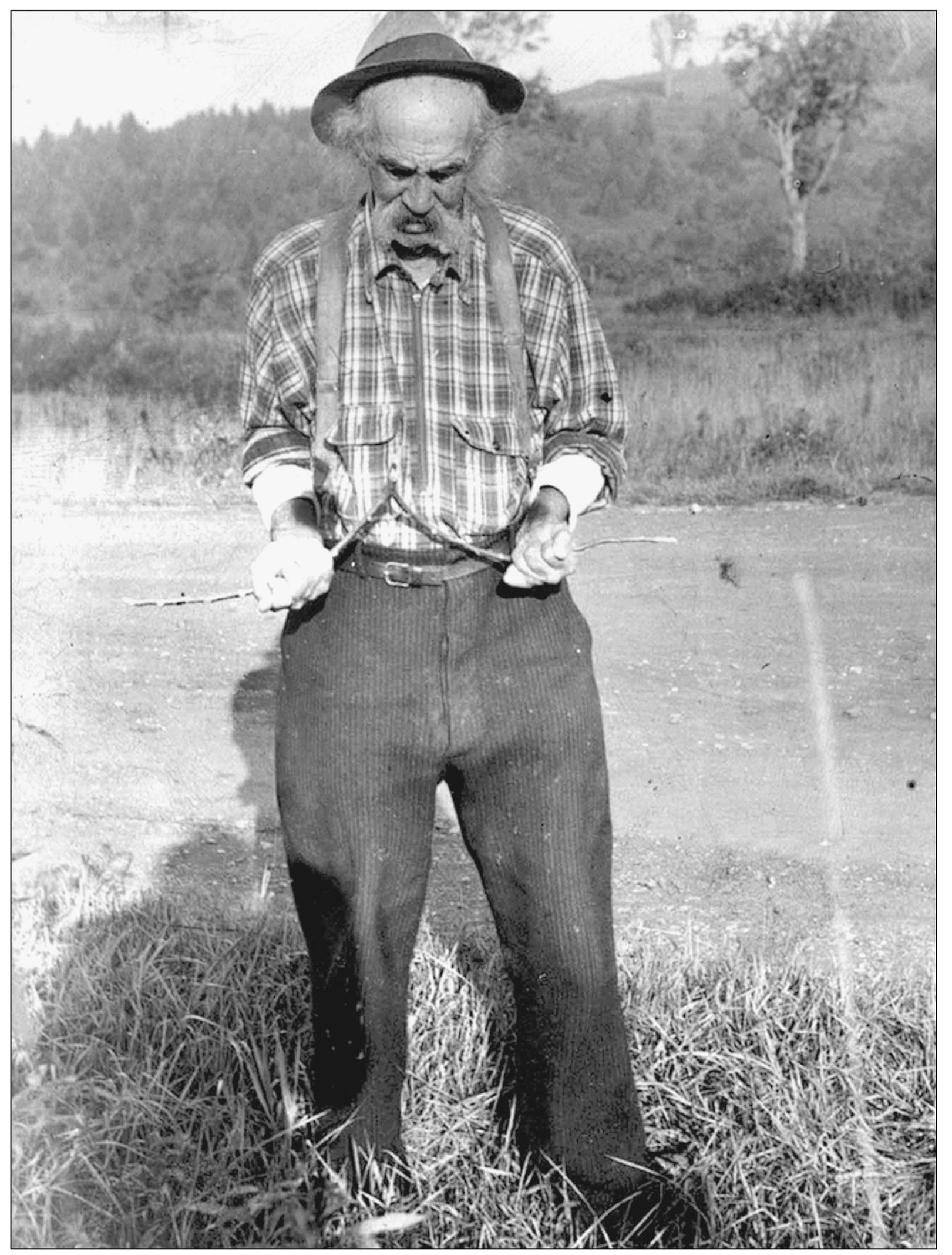
Quite the North Country character, Guy Kidder was a Paul Bunyan of a man with long hair and a handlebar mustache. Former Clarksville resident Wilman Furgerson said that Guy was six feet six inches tall and weighed 200 pounds. Guy lived on the Furgerson farm, and as a dowser he could always find water when he was asked to. When he died in 1955 at age 89, he was buried in the Kidder lot of the Stewartstown Hollow Cemetery, a few miles south of the Clarksville town line. His headstone reads, “Made Friends, Not Money.”
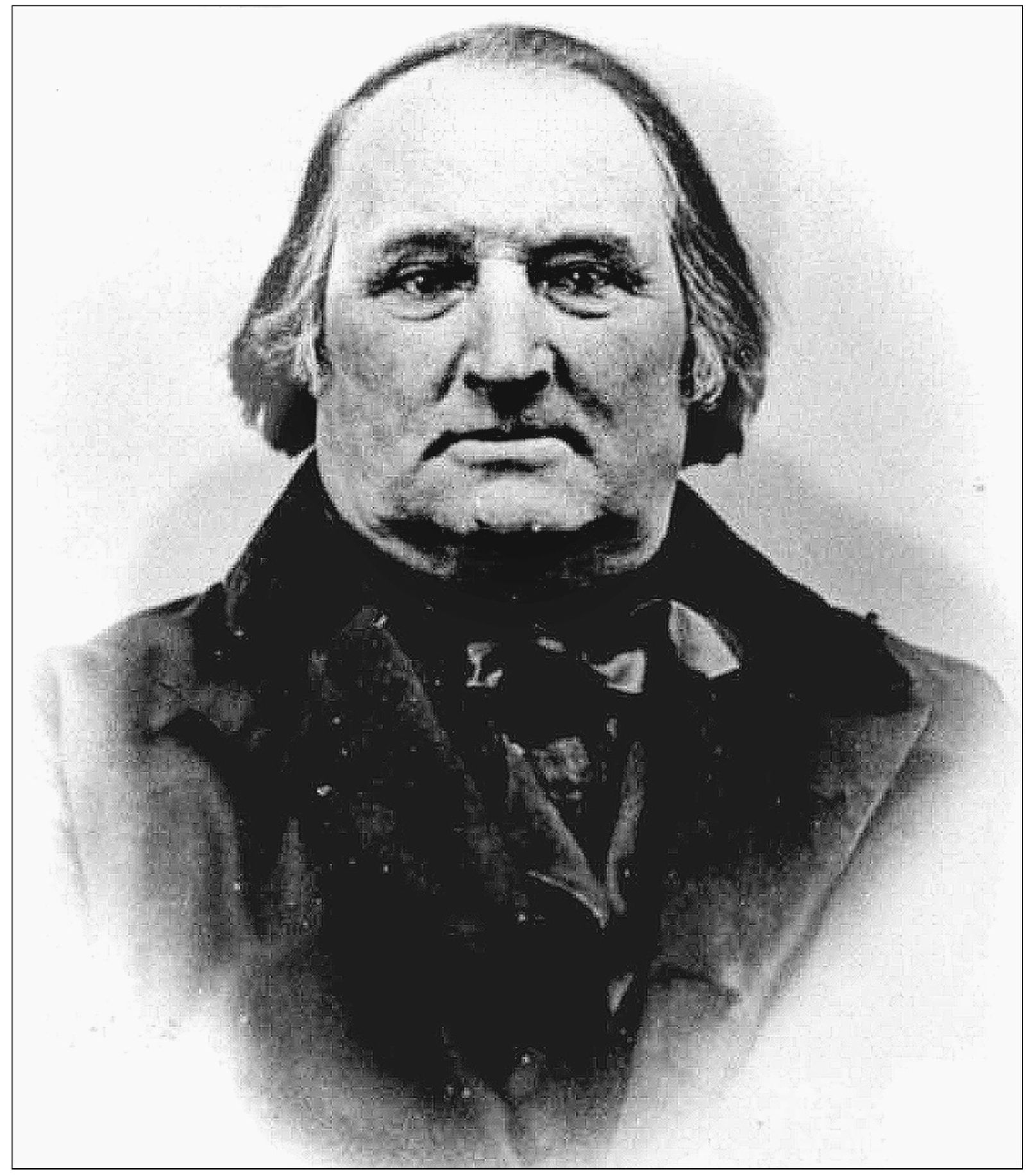
This tintype of Benjamin Young Jr. was found in the early-1800s farmhouse that he lived in at the foot of what would become Ben Young Hill. Born in Wolfeboro in 1799, Benjamin moved to Clarksville c. 1826, when his brother Josiah Young served as land agent for Dartmouth College. Benjamin built the farmhouse that still nestles at the foot of the hill that bears his name. He died on April 7, 1874, and is buried in the Young Cemetery a short distance south of his farmhouse.

This photograph of Ben Young Hill in Clarksville shows the twisting, turning contour as the road rolls south. (Photograph by Susan Zizza, Northern New Hampshire Magazine.)
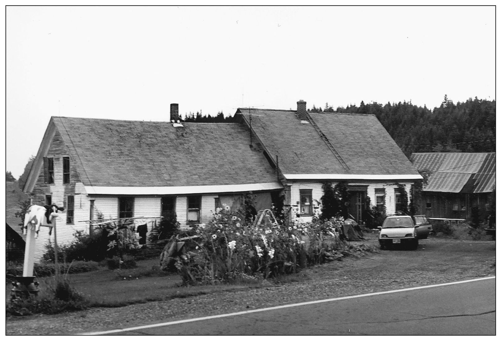
Ben Young’s homestead still sits at the foot of Ben Young Hill. It has been in the hands of Curtis Keezer, a descendant of Ben Young.

Ben Young is buried in the Young Cemetery, which sits alongside Route 145, leading up to his old home. His is the oldest birth date in the family plot, October 10, 1799.

This view looks north down Old County Road, often thought to be part of the Cohos Trail. (Photograph by Charles Jordan.)
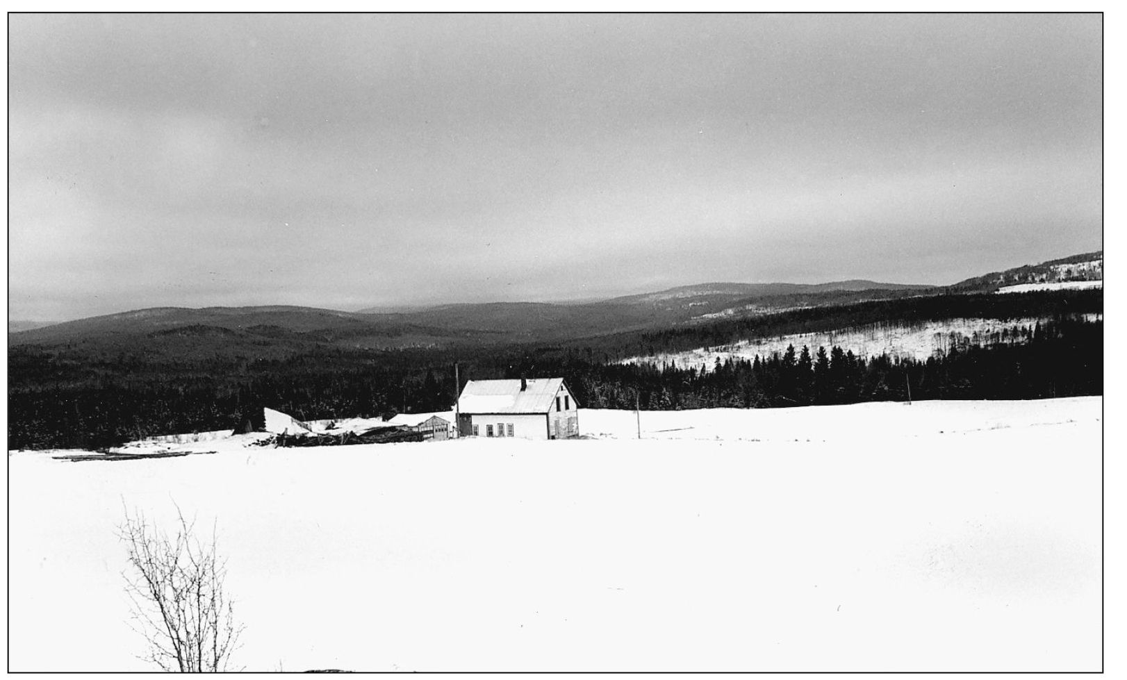
The old Raymond and Gladys Ricker farmhouse in Clarksville at the end of Clarksville Pond Road. The Rickers were the last of a line of families to live in the place. The road used to be called the Farmer’s Road, reflecting all the farms that are now gone. (Photograph by Charles Jordan, Northern New Hampshire Magazine.)
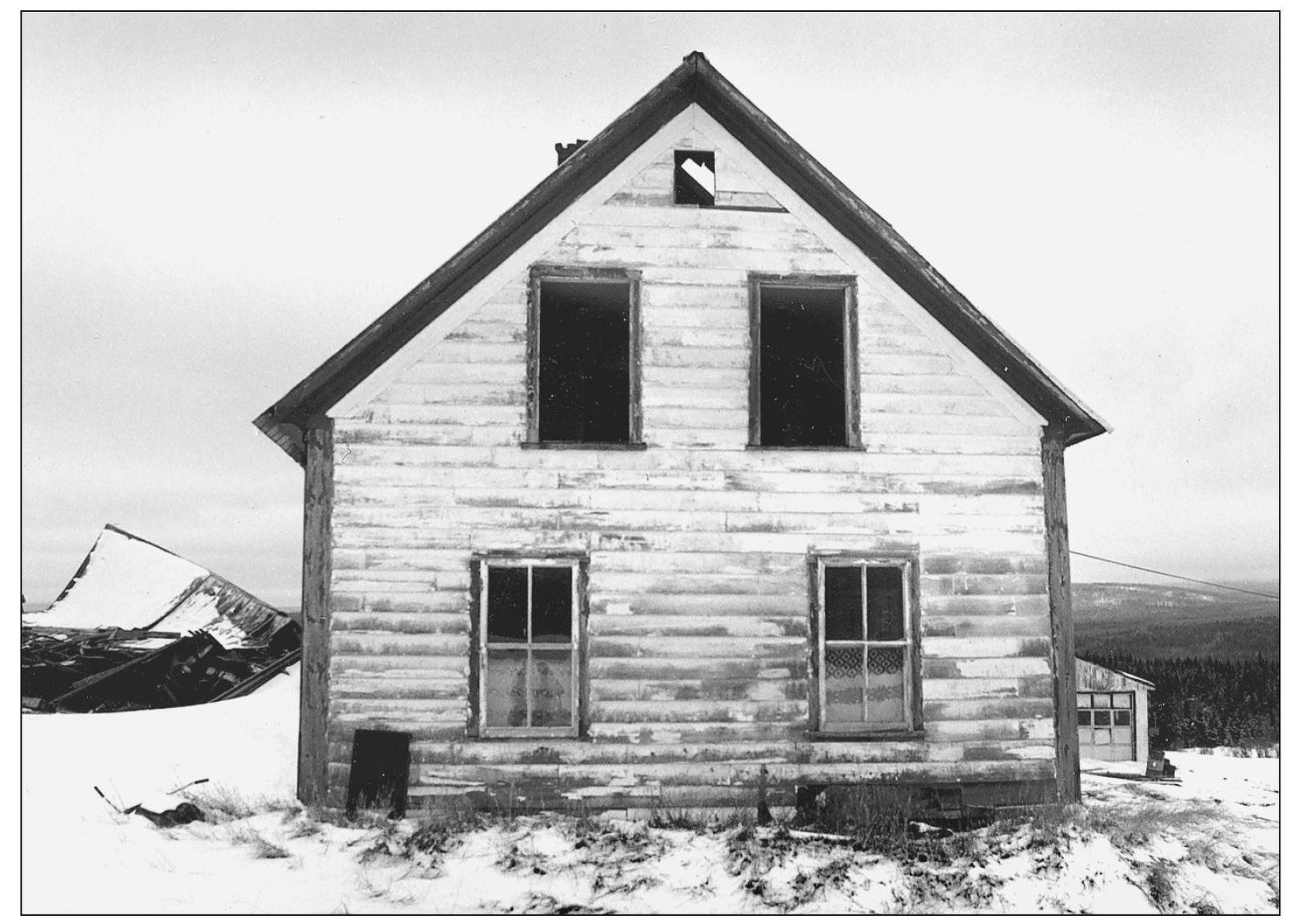
With all life gone from within, the Ricker farmhouse as seen in this photograph stares vacantly at empty fields. (Photograph by Charles Jordan, Northern New Hampshire Magazine.)
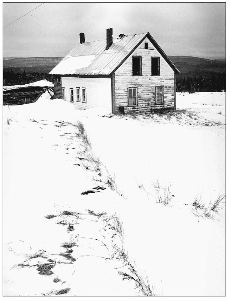
For a century, the old Ricker farmhouse sat at the end of a dirt road, watching over the seasons that would come and go. The home’s final day came after the last snowstorm in April 1992. The owners of the property had decided the home was no longer useful to them and offered it to the Pittsburg Fire Department for a training session. (Photograph by Charles Jordan, Northern New Hampshire Magazine.)
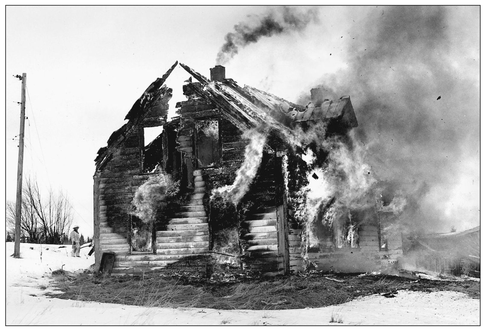
Within an hour after the local fire departments set the home ablaze, the house was fully engulfed—with the chimney belching out smoke for the last time. (Photograph by Charles Jordan, Northern New Hampshire Magazine.)
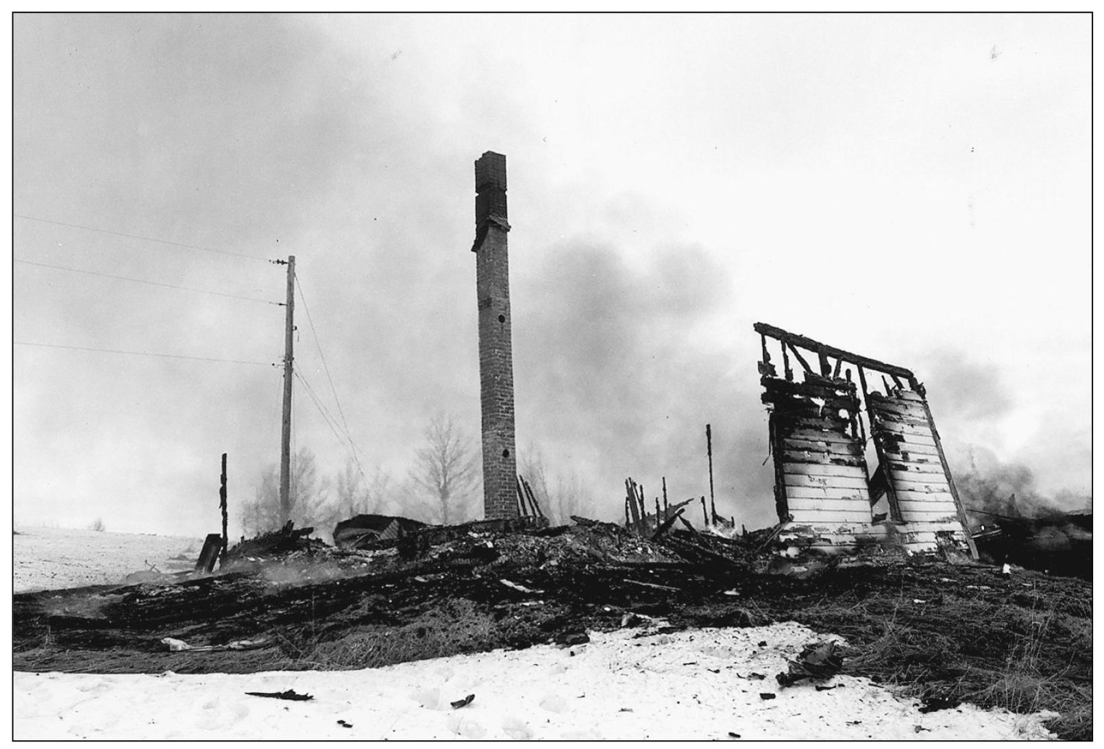
In a short time, only a chimney and portion of a wall still stood, although the wall collapsed moments later. (Photograph by Charles Jordan, Northern New Hampshire Magazine.)
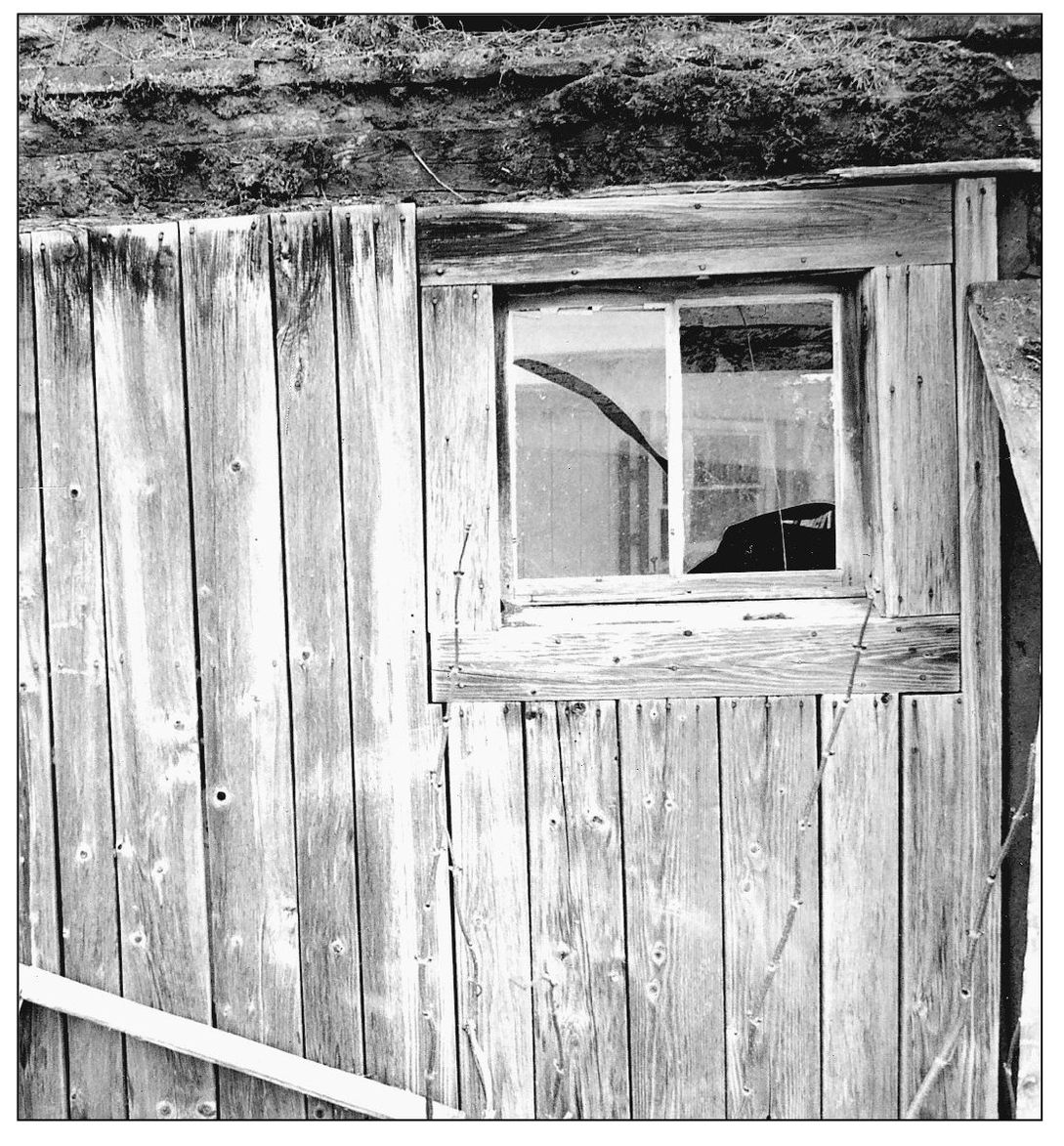
Weather-beaten barn wood from the Ricker farm harkens back to the site’s days as a working farm. (Photograph by Charles Jordan, Northern New Hampshire Magazine.)
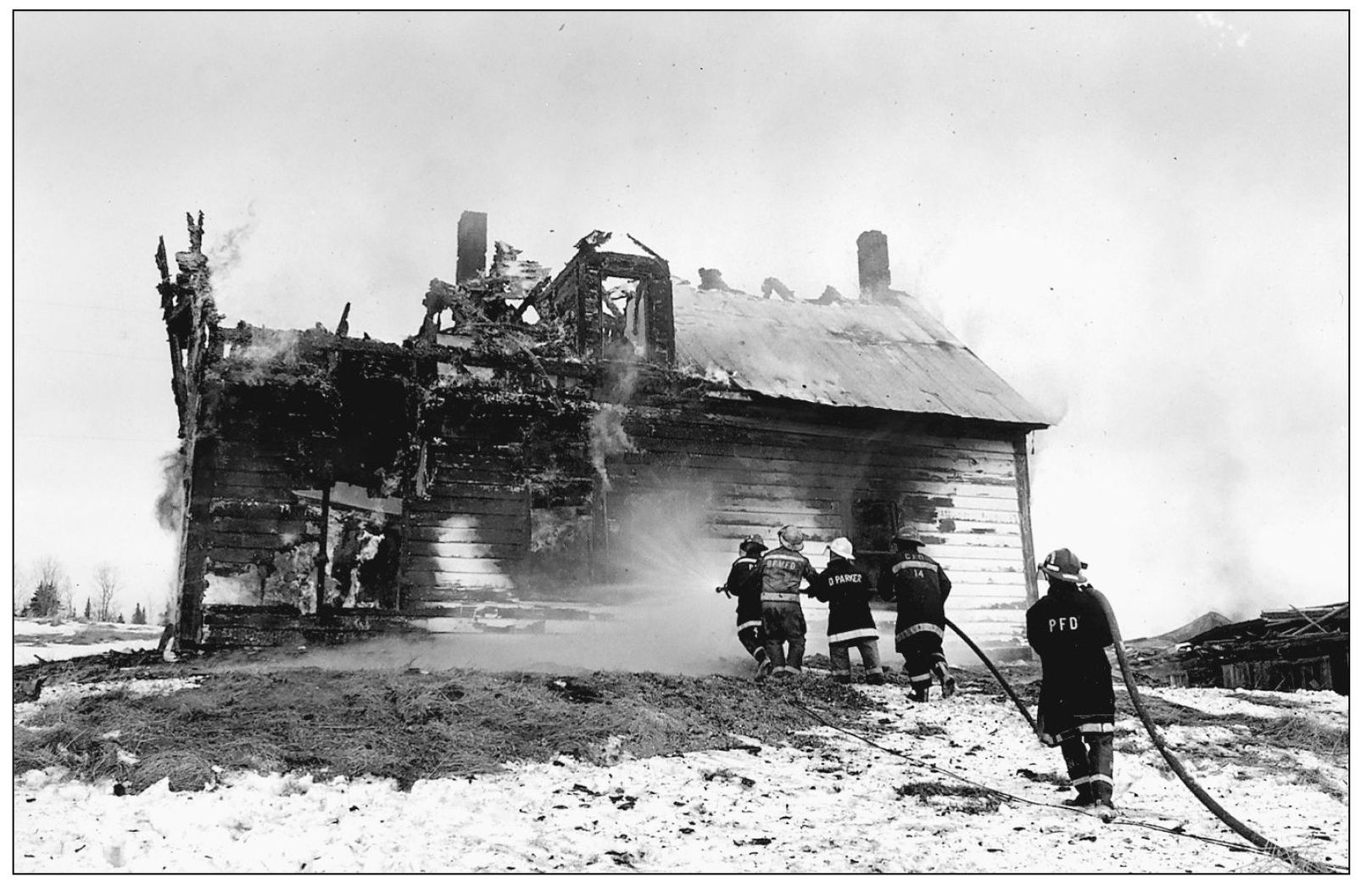
A combined crew of members from the Colebrook, Pittsburg, and Beecher Falls, Vermont fire departments staged a practice attack on the half-gone Ricker home. (Photograph by Charles Jordan, Northern New Hampshire Magazine.)
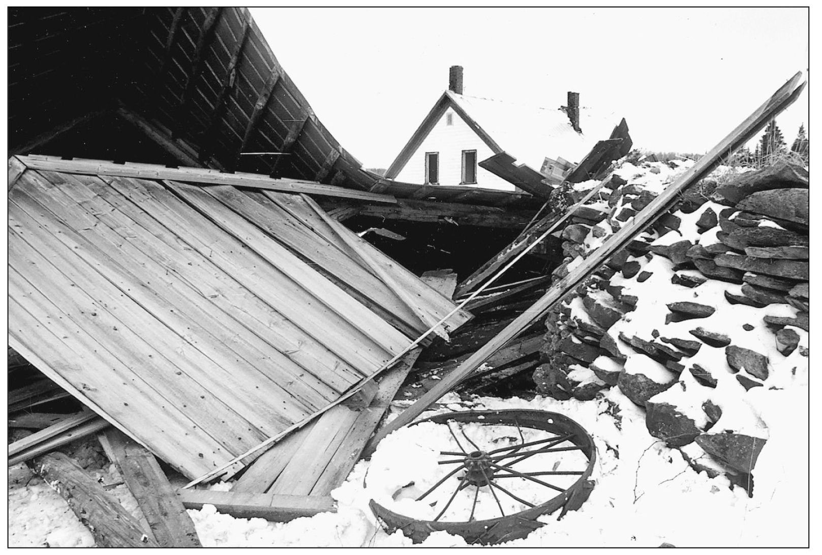
The Ricker house peeks out over the remnants of the barn, which had been razed in anticipation of the big burn on the home. (Photograph by Charles Jordan, Northern New Hampshire Magazine.)

For the first couple hours of the controlled burn, smoke sessions were conducted upstairs and then on the first floor. Firefighters are shown in this photograph running hoses to the house. (Photograph by Charles Jordan, Northern New Hampshire Magazine.)
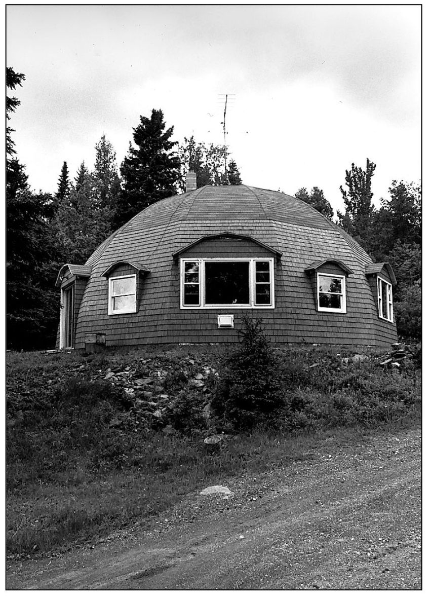
What started out as a tool shop evolved into a home for Donald and Evelyn McKinnon of Clarksville. Their dome house on a Wiswell Road was designed by Mr. McKinnon because he did not want to pay the high price for a dome house kit. (Photograph by Charles Jordan, Northern New Hampshire Magazine.)

Evelyn McKinnon once said that living in a round house never caused them any problems, though one winter, a passerby wanted to know what was under “that huge mound of snow.” (Photograph by Charles Jordan, Northern New Hampshire Magazine.)
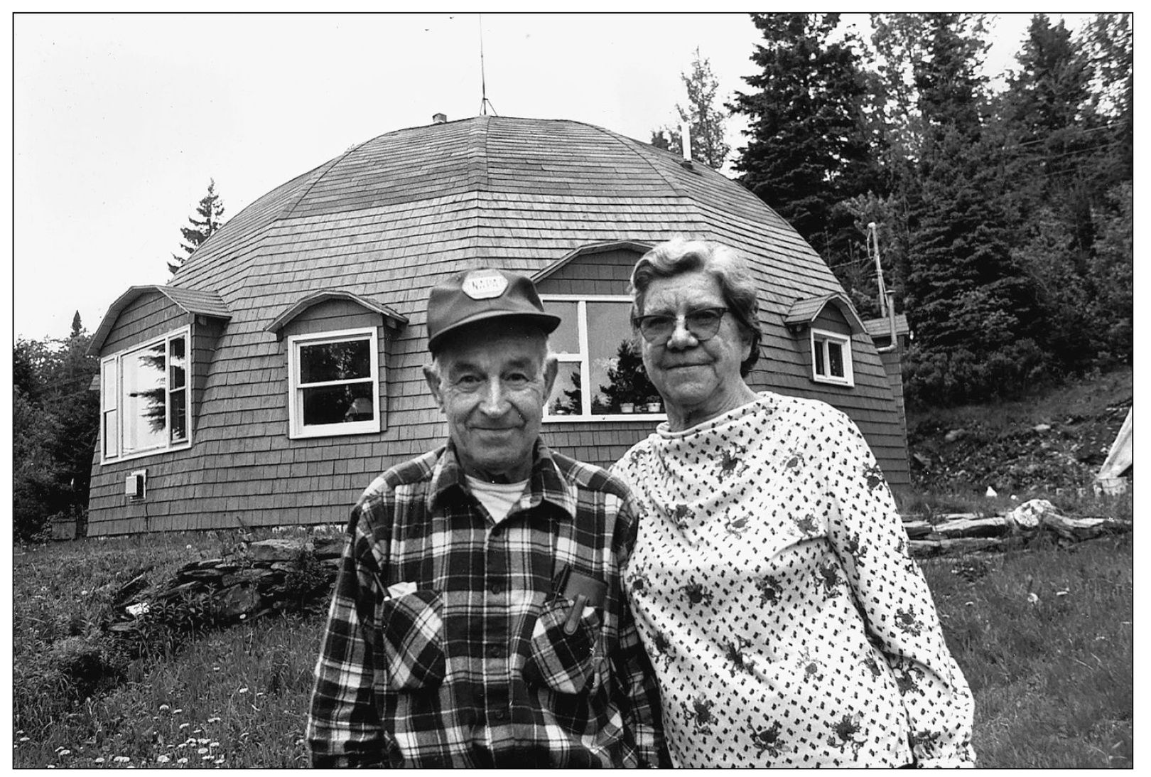
Donald and Evelyn McKinnon of Clarksville built their dome house in 1983. (Photograph by Charles Jordan, Northern New Hampshire Magazine.)
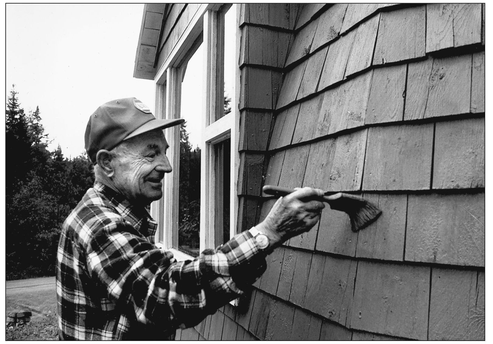
Donald McKinnon was not concerned about painting himself into a corner when he touched up his dome house. (Photograph by Charles Jordan, Northern New Hampshire Magazine.)

The heaviest snows often come to Clarksville in the month of January. With an elevation of 1,977 feet above sea level, the old Clarksville schoolhouse stands bright white after a fresh, heavy snowfall. (Photograph by Charles Jordan, Northern New Hampshire Magazine.)
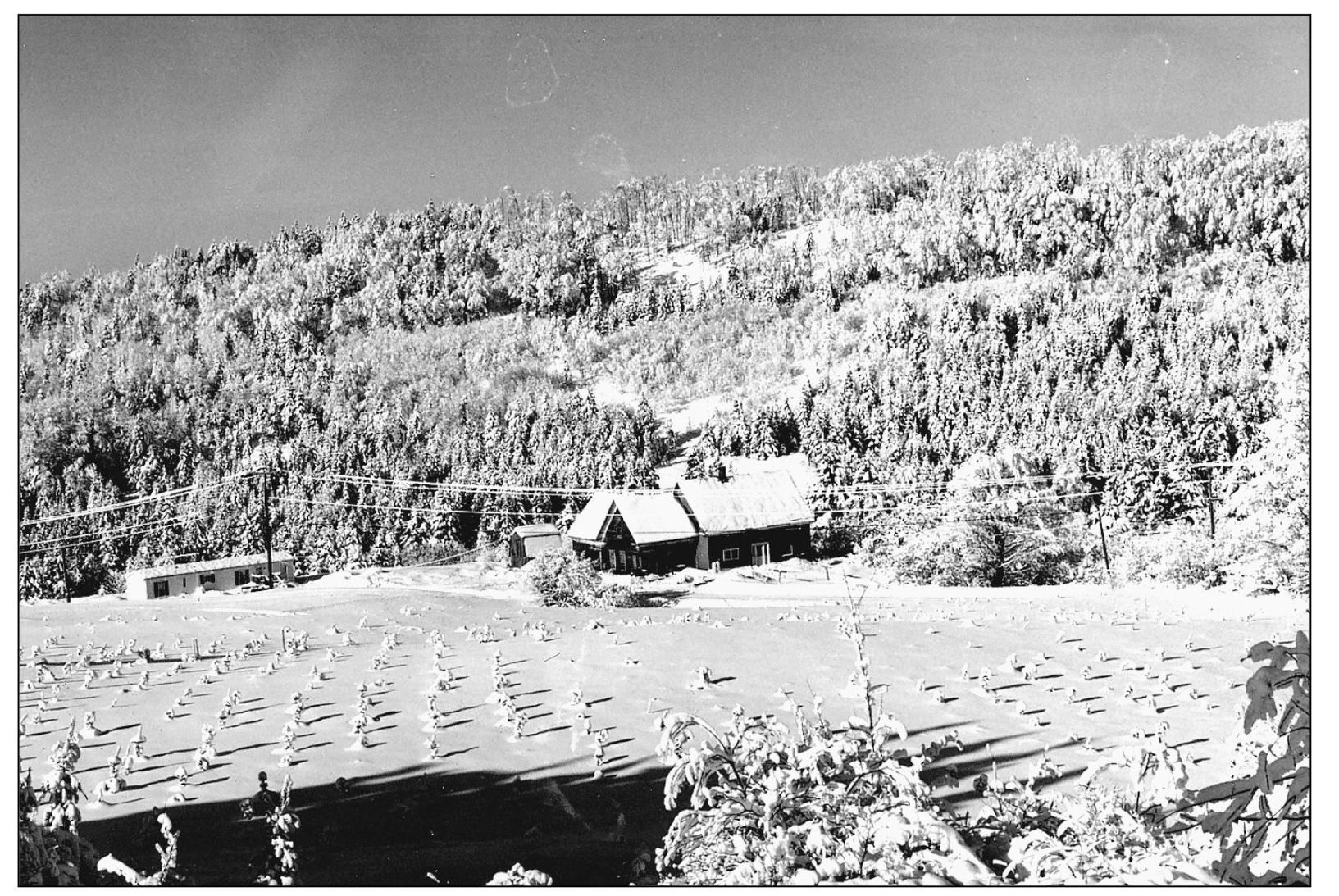
This photograph shows a Clarksville Wiswell Road home after a fresh January snowfall. (Photograph by Charles Jordan, Northern New Hampshire Magazine.)

In this view, Route 145 unwinds north like a roller coaster toward Ben Young Hill. (Photograph by Charles Jordan, Northern New Hampshire Magazine.)
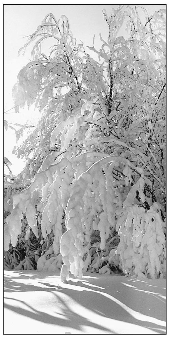
A photograph features snow-laden branches on a road in Clarksville. (Photograph by Charles Jordan, Northern New Hampshire Magazine.)

What appear to be marching snowmen are actually snow-encased trees in Clarksville. (Photograph by Charles Jordan, Northern New Hampshire Magazine.)
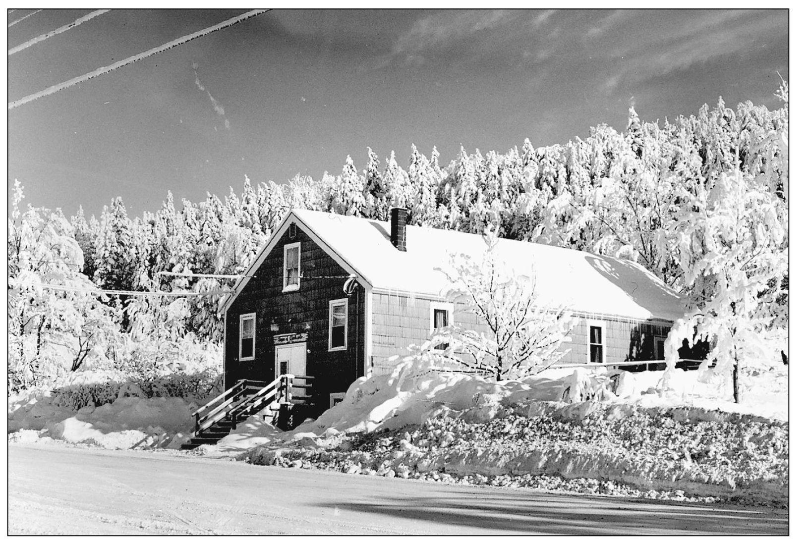
The Clarksville Town Hall is set amid a pristine winter landscape. (Photograph by Charles Jordan, Northern New Hampshire Magazine.)

Snow caps the headstones at the Young Cemetery on Route 145. (Photograph by Charles Jordan, Northern New Hampshire Magazine.)
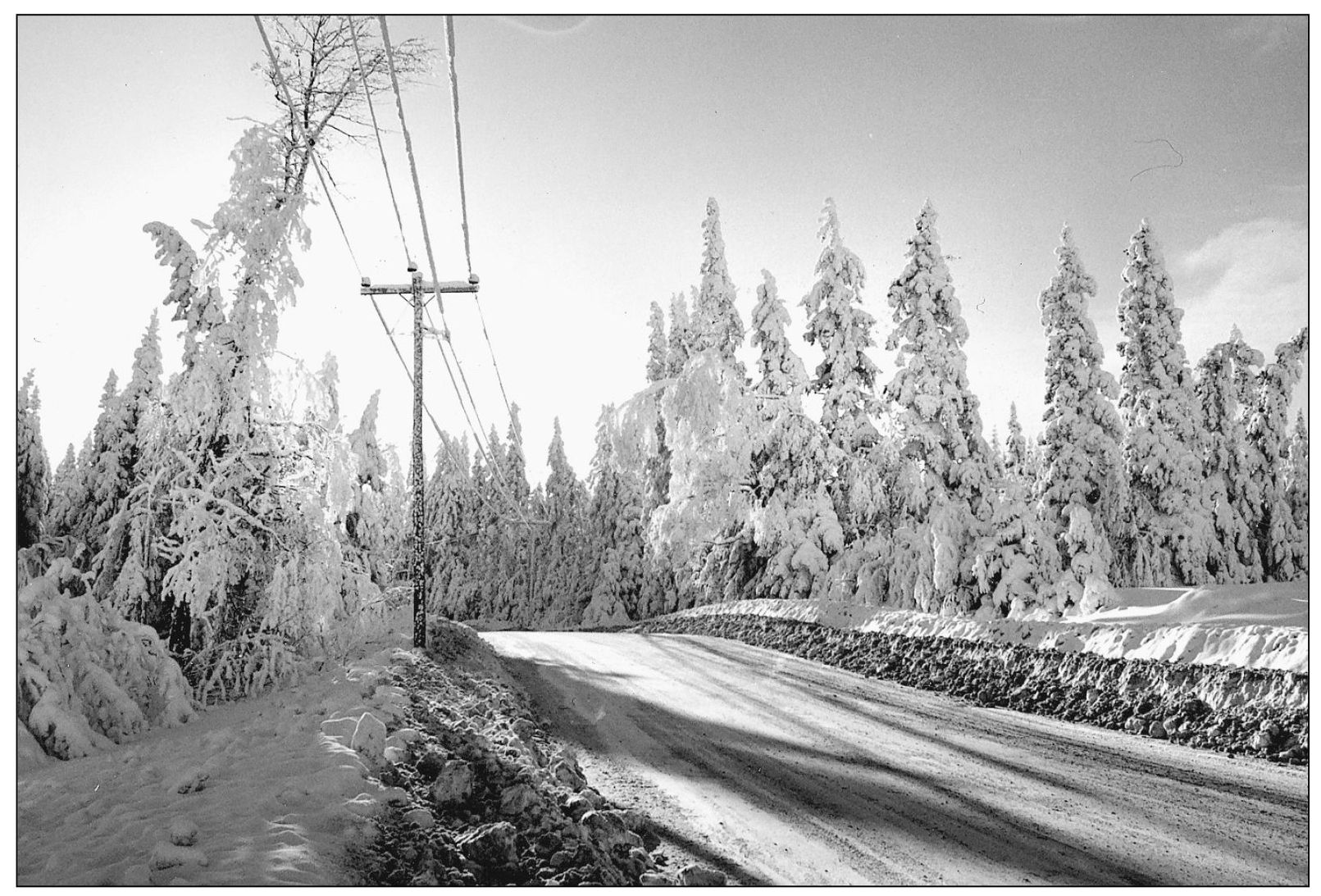
This photograph shows the view when looking back toward Ben Young Hill—approximately 2,500 feet above sea level. (Photograph by Charles Jordan, Northern New Hampshire Magazine.)
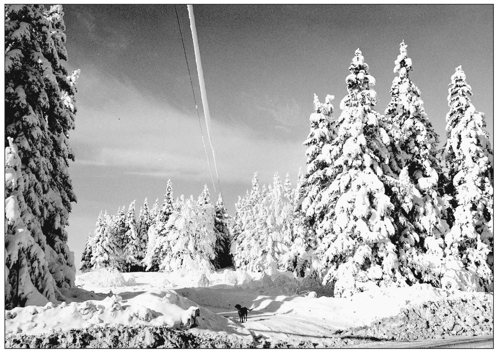
The driveway shown in this photograph turns off the very top of Ben Young Hill. (Photograph by Charles Jordan, Northern New Hampshire Magazine.)

Regardless of the season, it is best to heed the sign’s Use Low Gear warning when descending either side of Ben Young Hill. The effect is only heightened in the winter, when many a car and plow has found itself off the road. (Photograph by Charles Jordan, Northern New Hampshire Magazine.)
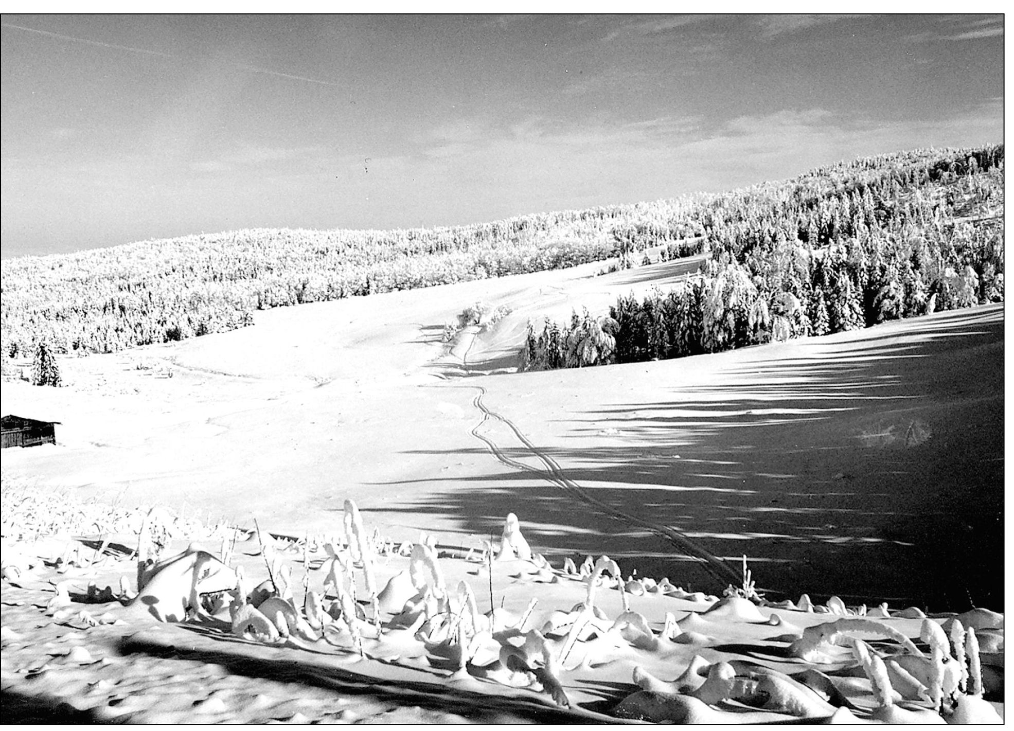
As this photograph documents, snow-covered brush in the foreground makes for fantastic wintertime forms. (Photograph by Charles Jordan, Northern New Hampshire Magazine.)
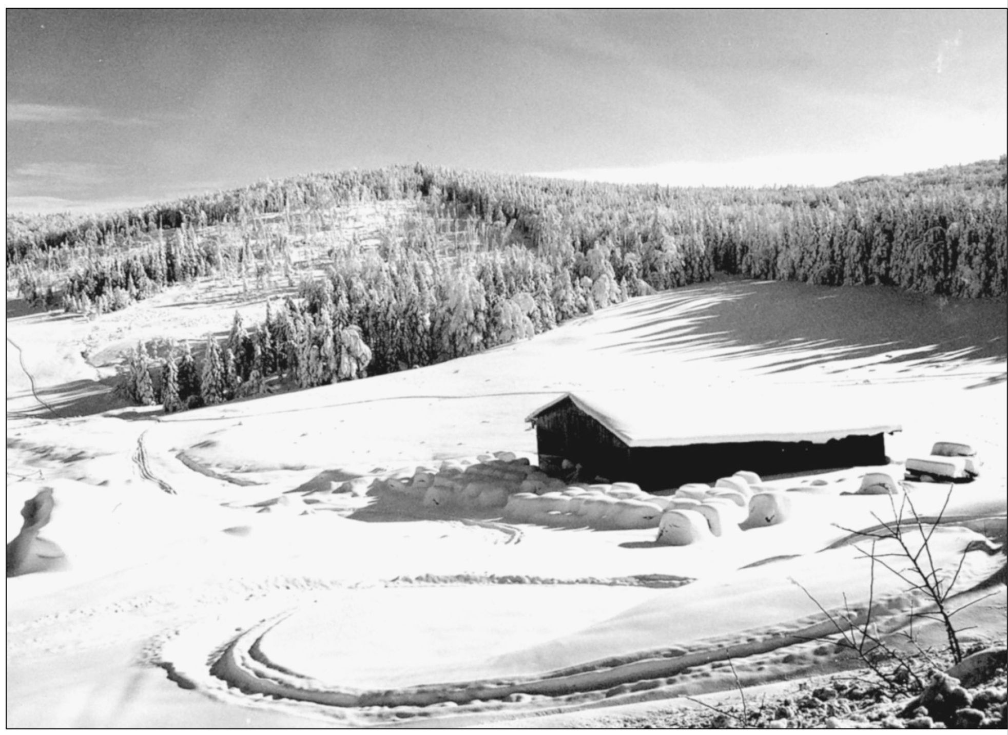
This old barn on a Clarksville farm seems to hold a good amount of snow on its roof. (Photograph by Charles Jordan, Northern New Hampshire Magazine.)
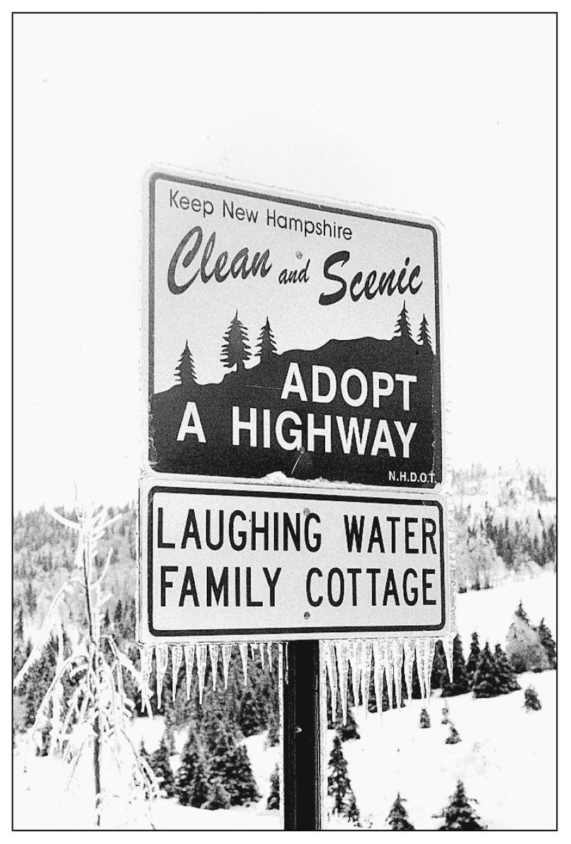
Laughing Water Family Cottage adopted a portion of Route 145 to keep it clear of roadside litter. Their sign appears after the ice storm of 1998 with icicles hanging from the bottom. (Photograph by Charles Jordan, Northern New Hampshire Magazine.)
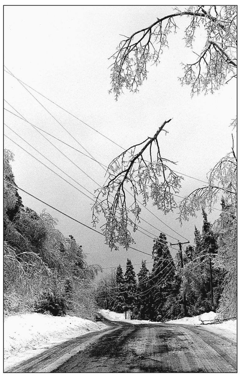
An ice-laden branch is suspended on wires over Ben Young Hill in the wake of the 1998 ice storm. (Photograph by Charles Jordan, Northern New Hampshire Magazine.)

This closeup of tree branches shows the handiwork of the ice storm. (Photograph by Charles Jordan, Northern New Hampshire Magazine.)
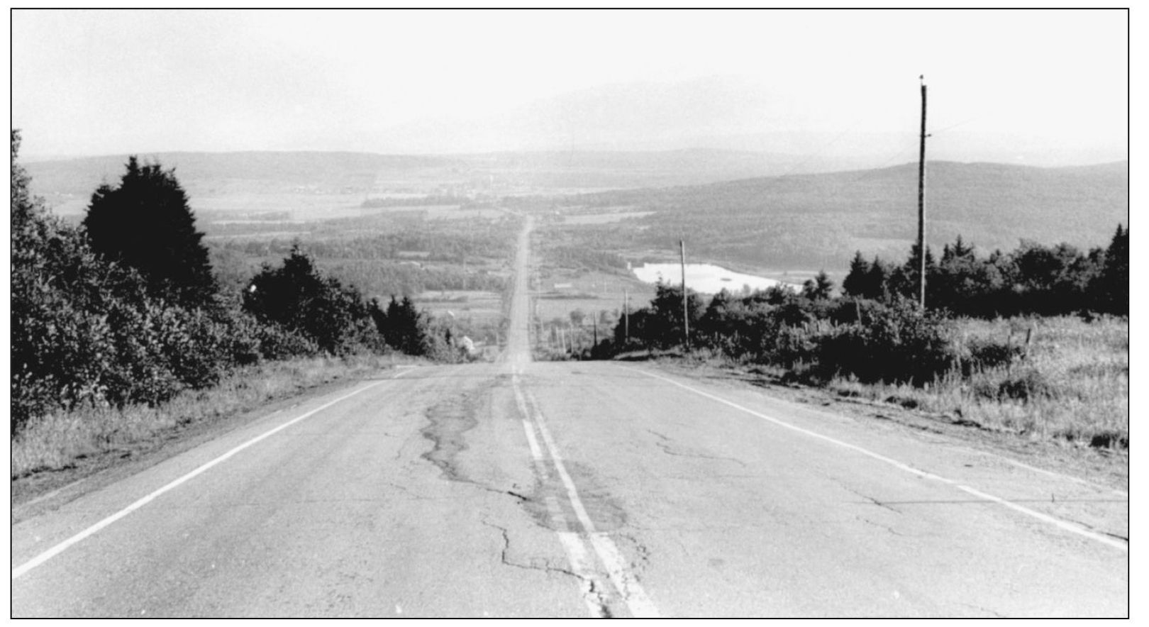
This view looks north from the Pittsburg-Canada line into Chartierville, Quebec. (Photograph by Charles Jordan.)
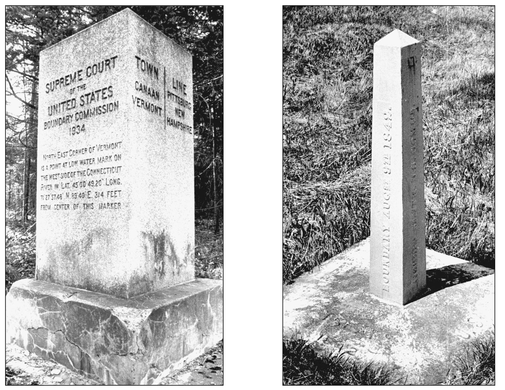
Pictured are the boundary markers for the Pittsburg-Vermont-Canada line (left) and the Pittsburg-Canada line. (Photographs by Charles Jordan.)