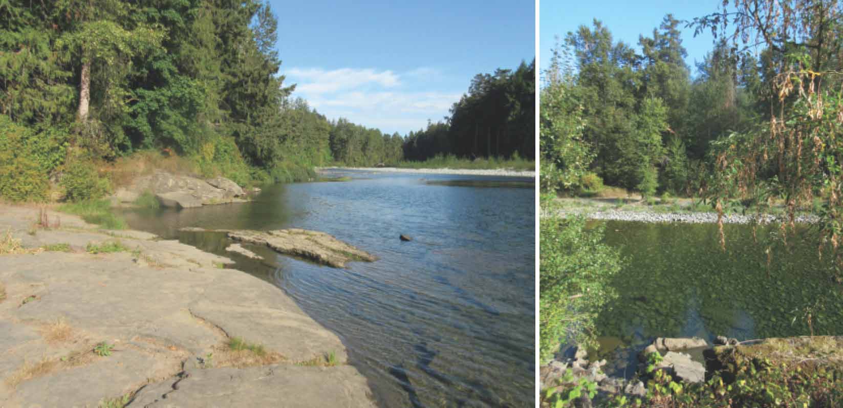
Easy access to the crystalline, pleasant and quiet pools of the Nanaimo River, flowing past low gravel banks overhung with large trees.

LOCATION
Follow the signs on Highway 1 for the turnoff to Morden Colliery Historic Provincial Park, which is well-signposted from Highway 1, about 2 km south of the Duke Point Ferry Terminal.
If you are travelling south, turn left onto Morden Road and simply drive straight ahead. Instead of proceeding to the park, though, turn right almost immediately onto Main Road, signposted for Nanaimo River Regional Park. Continue straight ahead onto Thatcher Road for almost 2 km. Turn right at the sign for the park and drive 300 m to the end of the road.
DISTANCE
2.8-km partial loop
ELEVATION GAIN
Negligible
DIFFICULTY
Easy, broad, level path. A few sturdy stairs with a handrail.
All season. Warm weather is best for water play, of course, but children can be eye-poppingly able to take pleasure in water at the most peculiar times of year.
OF SPECIAL INTEREST FOR CHILDREN
Water. Calm, easily accessible water. Lots of water. And bikes. In fact, the park encourages bicycles, especially those that will handle dirt or gravel.
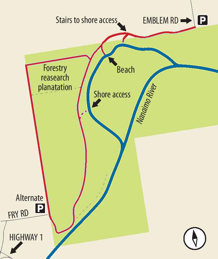
1.No sooner do you start along the trail than you see a sturdy little flight of wooden stairs leading to the riverbank. Just beyond a few scattered trees, come to a curious shore of sandstone plates. Immediately below, the water is still, deep enough to be serious and crystal clear (except in winter floods). Walk along the sandstone to experience the bumps and slabs of this weird and wonderful shoreline.
2.Return to the bank-top trail via the wooden stairs and turn left to follow the river upstream. Pass a pretty, split-cedar fence and a yellow sign warning of the eroding bank. No doubt members of your troop will point out that the fine gravel beach at the base of the banks is a perfect splashing spot. As you head farther upstream, through small alders and maples, notice the path is now more or less atop a dyke – though the trail is no longer alongside the main channel of the river.
3.When you come to a set of timber-and-gravel steps, see a blue and white sign indicating that the river trail is both straight ahead and to the right. Turn right to take the steps. (You might have to lug a child’s bicycle down this bit.) Pass through a research plantation before coming across another signpost indicating a sharp turn to the left.
4.At this point the trail is a slightly dull, straight-as-a-die service road. When you come to another sign, indicating the river trail goes both left and straight ahead, continue straight ahead. The trail to the left is a kind of shortcut (though it doesn’t appear on the official park trail map). Carry on past informative signs about forest research, past an alternate park entrance, almost to the river. It is worthwhile reading the information poster here, particularly for what it says about salmon in the river and endangered Douglas fir ecosystems.

FROM LEFT Flat slabs of sandstone make wading and splashing an unusual experience at this access spot; the crystal-clear water of the river when the water level is low.
5.Hesitate before descending onto the rough trail by the riverbank and running along the shore. This trail becomes increasingly uneven and bushy before petering out. Instead, keep on the dyke-top trail. When you come to some timber-and-gravel steps leading to the right, you may wish to go down them to find your way to a gravel beach along the backwaters of the main river. Return to the dyke-top trail, turn right and find your way back to the beginning.