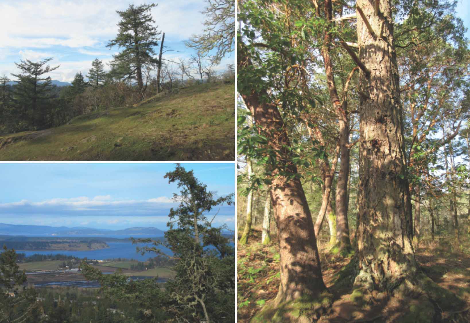
A little visited, but easily climbed, hill in Bear Hill Regional Park near Elk Lake, with wandering trails through open, character forest to views over the north end of the Saanich Peninsula.

LOCATION
Driving north on the Patricia Bay Highway (17) towards Sidney, turn left onto Sayward Road and drive just over 100 m. Continue along Hamsterley Road for another 100 m, and turn right onto Brookleigh Road. After 2.4 km, turn right onto Oldfield Road and drive 1.2 km until you come to Bear Hill Road. (Be careful as you drive along Brookleigh Road, since you may notice a sign for Bear Hill Road on your right. This section of Bear Hill Road does not connect with the north section where the park entrance is located – though a trail connects the two sections of the road.) Turn right and drive just over 1 km (watch for the right crook to keep on Bear Hill Road). The signposted gravel parking lot is on the left.
DISTANCE
1.8-km partly return, with two small loops
ELEVATION GAIN
150 m
DIFFICULTY
Apart from the perils of puffing and stumbling over some patches of rough trail, this is a compact, only moderately challenging, little-hill climb.
All season, though April is best for wildflowers.
OF SPECIAL INTEREST FOR CHILDREN
Children will have to be content with the delights of an easily gained hilltop that gives the special sense of feeling on top of the world. The fact that the rounded summit is a perfect picnic spot will not, of course, go unnoticed.
1.Do not proceed to the trailhead next to the small parking area, but do note this as your destination. For now, walk a short distance along the road to start along the alternative trail. Don’t be put off by the dour sign: “Warning. Steep Trail. Loose Gravel.” Most intrepid families will find this to be a mild exaggeration. In fact, this bit of trail is open to horse riding (though little used by horses). Wandering through firs, arbutus and Oregon grape, the trail climbs stolidly to a lovely, open area of rounded mossy rock. You see the original trail you spied in the parking lot (your way down) converging from the left. Even this low spot will reward you with some fragments of distant views.
2.Encounter one of the roughest parts of the trail now. Handle this, and you can handle anything on the whole circuit. When the trail levels out, watch for two small side tracks to the left – at least, if you want to nab more pretty views. The next bit of trail is lovely in a different way, as it swings to the right, wandering gently along a terrace beneath oaks and through licorice ferns.
3.Come to a junction with a large signpost, noting that you will return to this spot via the trail pointing to Brookleigh Road. For now, though, take a deep breath and turn onto the left branch towards the signposted summit. With the summit in sight ahead, turn right to follow a second sign labelled “Summit.” Pass a trail on your right (you do come back to this junction), and whip out your binoculars, camera and energy bars. For, yes, you have reached your destination – excellent views of James Island, Sidney Island and Mt. Baker in one direction, and, in the other, Saanich Inlet.

CLOCKWISE FROM TOP LEFT The first open, mossy meadow partway up the hill; large arbutus and firs along the trail; James and Sidney islands from the summit.
4.Tear yourself away from the view to return the few steps to the broad trail, now on your left, heading into scattered arbutus and oaks. Pass a small trail to the left (though it does provide yet more view) to swing consistently to the right. When you come to a T junction, turn right and, within no distance, find yourself back at the junction with the large summit signpost.
5.Retrace your route down the mountain to the open mossy area where the two upward trails first converge. This time, turn right to swing around below this open area. As you approach the road and your vehicle, there is a split in the trail. Worry not – both trails will take you back to your familymobile.