
Epps, Louisiana
Journal Entry
December 27, 2008
Well, okay. I’m actually going to contradict my own criteria for site inclusion in our odyssey and include Poverty Point, even though, at least from a visual perspective, it’s not a very impressive site. There’s not, at least in its current appearance, a very high “wow factor.” At one time the National Park Service maintained a tall watchtower that provided visitors with a bird’s-eye view of the site, but safety and maintenance issues led to it being taken down. I imagine that without a viewing tower at Site 14, Serpent Mound in Ohio or Site 6, Rock Eagle Effigy Mound in Georgia, most viewers would not be terribly impressed either. You really do need a bird’s-eye view of those as well as Poverty Point to appreciate the beauty of the two effigy mounds and the enormous size and scope of Poverty Point. Most of the site consists of low-lying parallel mounds, most of which are covered with trees. As a result, the site itself looks more like a nice park than a major archaeological site. The site covers an extensive area, and a paved park road allows you to drive between each site waypoint. At least one impressively tall mound can be climbed, and many beautiful artifacts are housed in the on-site museum. But the real reason to visit Poverty Point is its historic significance.
What You Will See
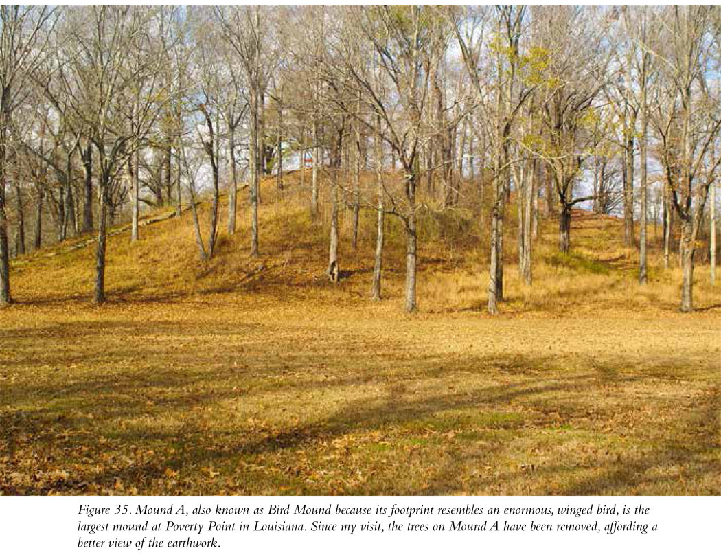
The earthworks at Poverty Point consist of a series of low, linear mounds in the shape of a half-circle that covers the west, north, and south quadrants of the site. In aerial photographs and maps, the earthworks give the impression of a giant amphitheater facing to the east (Figure 34). The mounds end at the site’s eastern boundary, a narrow body of water called Bayou Macon. Though they are a bit subtle, when you visit the site you’ll be able to see some of the six segmented ridges of earth. Each ridge segment is about 80 feet long and 5 feet high. Archaeological evidence indicates that the ridges were built up to serve as platforms on which residents built their homes. Though it may be hard to see because of vegetation and the lack of a tower for viewing the big picture, these artificial concentric ridges were a massive construction project, adding up to 6 miles of earth incorporating 53 million cubic feet of dirt into the earthworks at the site. Though the site’s overall configuration cannot readily be seen on the ground, there are a couple of easily recognizable larger and impressive mounds on the site. The main platform mound at the site (Mound A) is impressively tall, towering about 70 feet above its base. It appears to have been constructed in the shape of a giant bird (Figure 35). A stairway leads up to the top.
An on-site museum explains the significance of the place and contains an exhibit of some of the finer artworks found there. Check out the beautiful pottery, stone spear points, lovely drilled stone beads, ceramic figurines, and other decorated clay objects, including some that look just like dice! My personal favorite piece of art recovered at Poverty Point is a truly stunning work: a precious little owl carved in red stone and likely worn as a pendant.
Why Is Poverty Point Important?
An important part of Poverty Point’s significance rests in its age; it was occupied initially more than 3,200 years ago and exhibits significant and monumental earthwork construction soon after its occupation. The dating of the site puts its occupation at far before the burial mounds of Ohio and certainly before the platform temple mounds of the Midwest and Southeast. And, yes, its dating puts the initiation of monumental mound construction at before the Aztecs, the Maya, or the Inca. Poverty Point shows how, even at an early stage in its development, Native American mound builder societies were able to accomplish tremendous feats of earthmoving.
Long-distance trade also characterized Poverty Point. The raw material of many of the stone spear points you’ll see in the museum originated in the Ozark and Ouachita Mountains and in the valleys of the Ohio and Tennessee Rivers. Steatite, a soft stone used by the residents of Poverty Point in the production of small sculptures, was obtained from northern Alabama and Georgia. The pure copper made into artifacts at the site comes from Michigan.
Okay, so Poverty Point reflects an impressive level of communal labor to produce earthworks. And there’s evidence of long-distance trade. There’s plenty of evidence for that in many of our fifty sites. What makes Poverty Point unique in this regard concerns the subsistence base of its residents. Ordinarily, societies that produce monumental structures are able to do so because they have a lot of surplus time on their hands. In an agricultural economy, farmers have the potential ability to produce far more food than they need to feed their families, enough food in fact to support classes of people not involved in farming. This includes artisans, soldiers, merchants, priests, rulers, and workers who can build monuments upon the order of those rulers.
Poverty Point is different. The people at Poverty Point were not farmers but were instead hunters of wild animals and gatherers of wild plant foods. Reliance on wild foods by a people who build great communal monuments is rare. At Poverty Point it is an indication of the incredible natural productivity of the site’s location along the banks of Bayou Macon in the Lower Mississippi Valley.
Along with being a National Historic Landmark, Poverty Point has been designated a World Heritage Site. The US archaeological sites named as World Heritage Sites by the United Nations for their archaeological significance are Site 9, Cahokia; Site 11, Poverty Point; Site 29, Mesa Verde; and Site 31, Chaco Canyon. It should be no surprise that all four are included in our fifty-site odyssey.
Site Type: Village, Platform Mound
Wow Factor: * Poverty Point is an impressive site, but there no longer is a tower from which the visitor can get a bird’s-eye view of the octagonal rows of mounded earth.
Museum: **** Exhibits contain a great array of artifacts recovered at the site.
Ease of Road Access: *****
Ease of Hike: *****
Natural Beauty of Surroundings: ****
Kid Friendly: ***
Food: Bring your own.
How to Get There: Poverty Point is located in the town of Epps in north-central Louisiana. The site is readily accessible from I-20. Take the Delhi exit, go north on LA 17, east on LA 134, and then north on LA 577.
Hours of Operation: Open daily 9 a.m. to 5 p.m. Closed Thanksgiving, Christmas, and New Year’s Day.
Cost: See website.
Best Season to Visit: If you enjoy heat and humidity, Louisiana is your place in summer. Otherwise, try spring or fall.
Website: www.crt.state.la.us/louisiana-state-parks/historic-sites/poverty-point-state-historic-site/index
Designation: National Monument; World Heritage Site