
MASPALOMAS
Maspalomas is best known for its magnificent sand dunes, protected as a nature reserve. Part of the original expanse was destroyed in a flurry of construction in the 1960s and 1970s; many plant and animal species were lost at that time, but the authorities are working to reintroduce them. Today Maspalomas is one of the Canary Islands’ largest resorts, but it’s still easy to find a peaceful spot in which to enjoy the sun away from the tourist crowds.
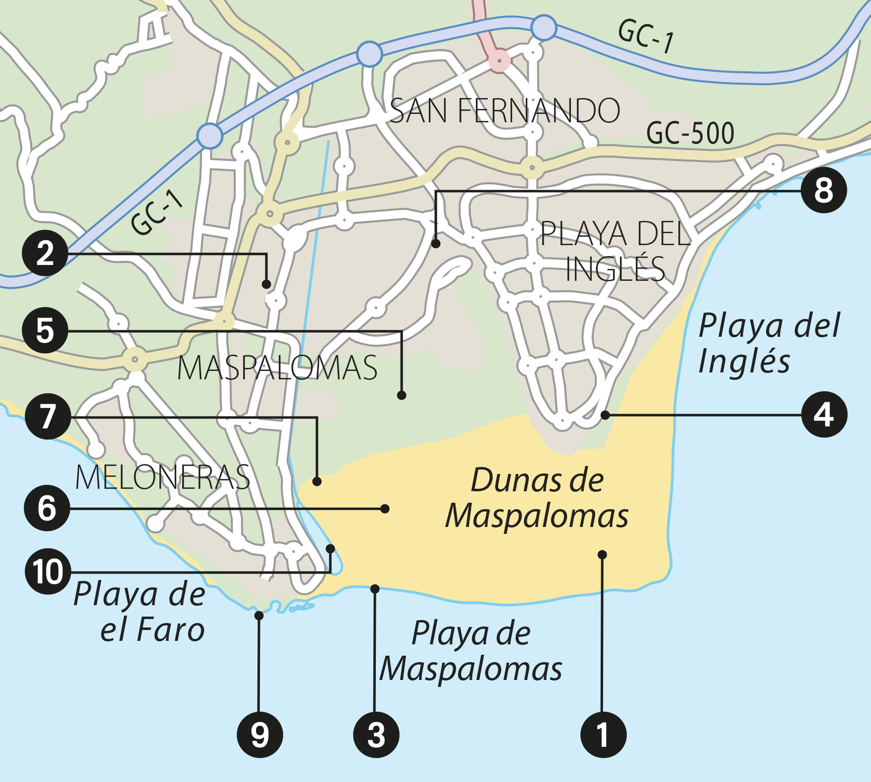
Map of Maspalomas
NEED TO KNOW
 Parque Botánico de Maspalomas: open 10am–6pm daily
 Golf greens: adm: €64.00 (summer), €109.00 (winter)
 Camel rides: Camello Safari Dunas. 928 76 07 81; open 9am–4pm daily; adm: adults €12.00, children €8.00
- Chiringuitos (kiosks selling snacks and drinks) are dotted around the beach. You can also take a picnic and lunch on a bench next to the lagoon.
- Visit the dunes in the early morning or late evening to avoid burning your feet.
1. Sand Dunes
Contrary to popular belief, these 400 ha (988 acres) of golden sand didn’t blow across from the Sahara Desert; they washed up from the ocean. While a large part is constantly on the move, there is a stable section, with a variety of flora and bird life. Stick to the signed routes to protect the wildlife.
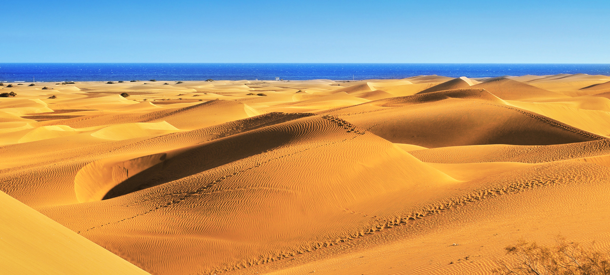
The expansive sand dunes
2. The Resort
The area is still best known as a major tourist resort favoured by northern Europeans. Maspalomas was a victim of the construction boom, but it is a far more exclusive resort than its raucous neighbour Playa del Inglés.
3. Maspalomas Beach
This is the island’s supreme beach. Families favour the calm seas by the lighthouse. The section by Playa del Inglés is nudist.
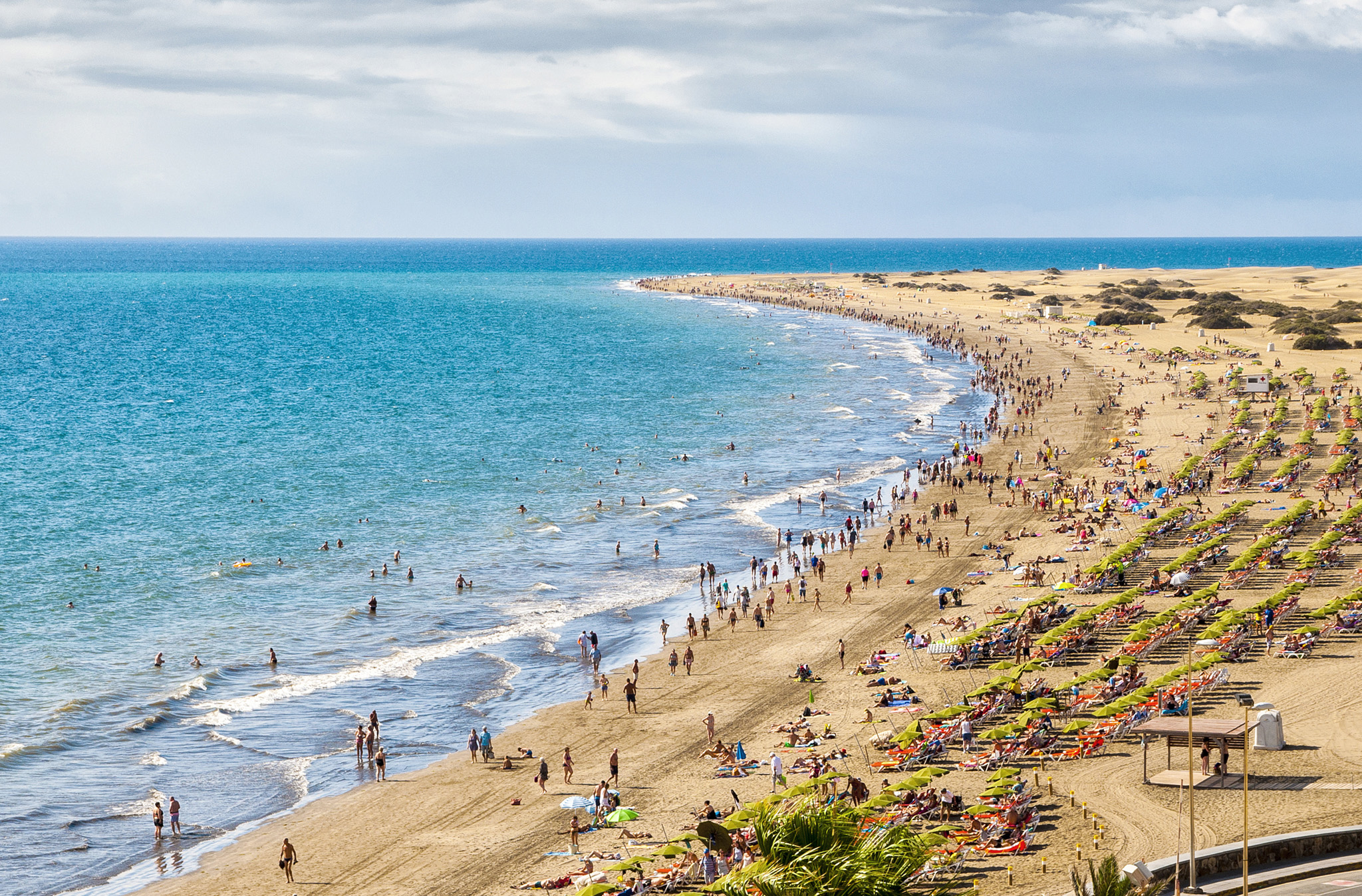
The popular Maspalomas Beach
4. Mirador
You’ll get some very fine views from the mirador (viewing point) on the main road to neighbouring Playa del Inglés. It is very popular with tourists.
5. Golf Course
Unrivalled weather plus vistas of the dunes and ocean beyond make Maspalomas’ golf course special. Non-members are welcome.
6. Bird-Watching
As well as local species, many migrating birds use the site as a pit stop. In spring and autumn look out for kingfisher, heron, curlew and egret, along with the usual nesting birds – kestrel, plover and moorhen. Less common species include osprey, courser and grey duck.
7. Camel Rides
Pretend you really are in the desert as you ride through the dunes on the back of a dromedary. Trips leave from the east side of the ravine, north of the lagoon. A half-hour ride takes you through areas thick with daisies and tamarisk.
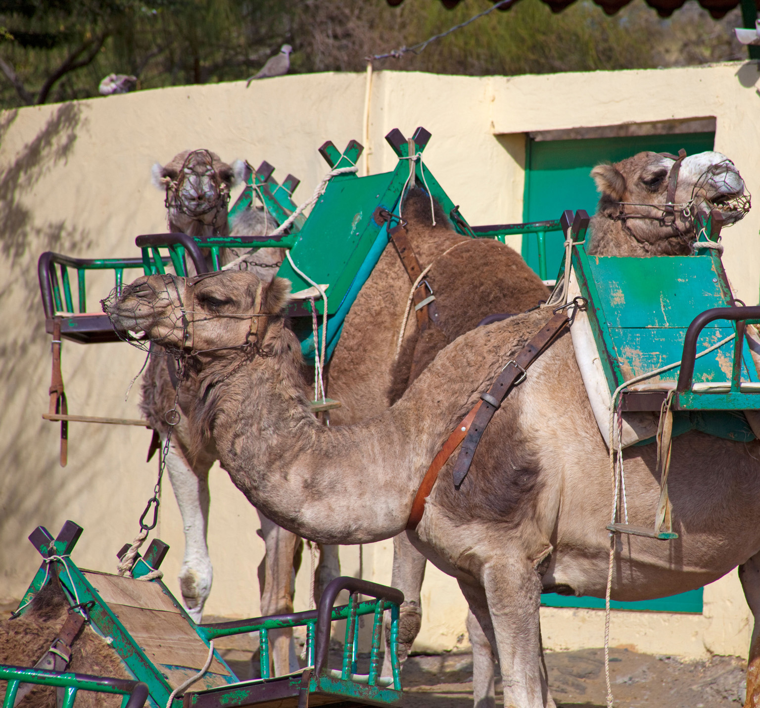
Camel Rides
8. Parque Botánico de Maspalomas
Open daily and free to enter, Maspalomas’ vast botanical garden spreads across 12,000 sq m (129,000 sq ft). It is home to more than 500 species of flora. The park also operates tours for nature enthusiasts and visitors.
9. Lighthouse
Standing in a square is one of the island’s most striking landmarks: a 55-m (180-ft) lighthouse. It was built in the 19th century.
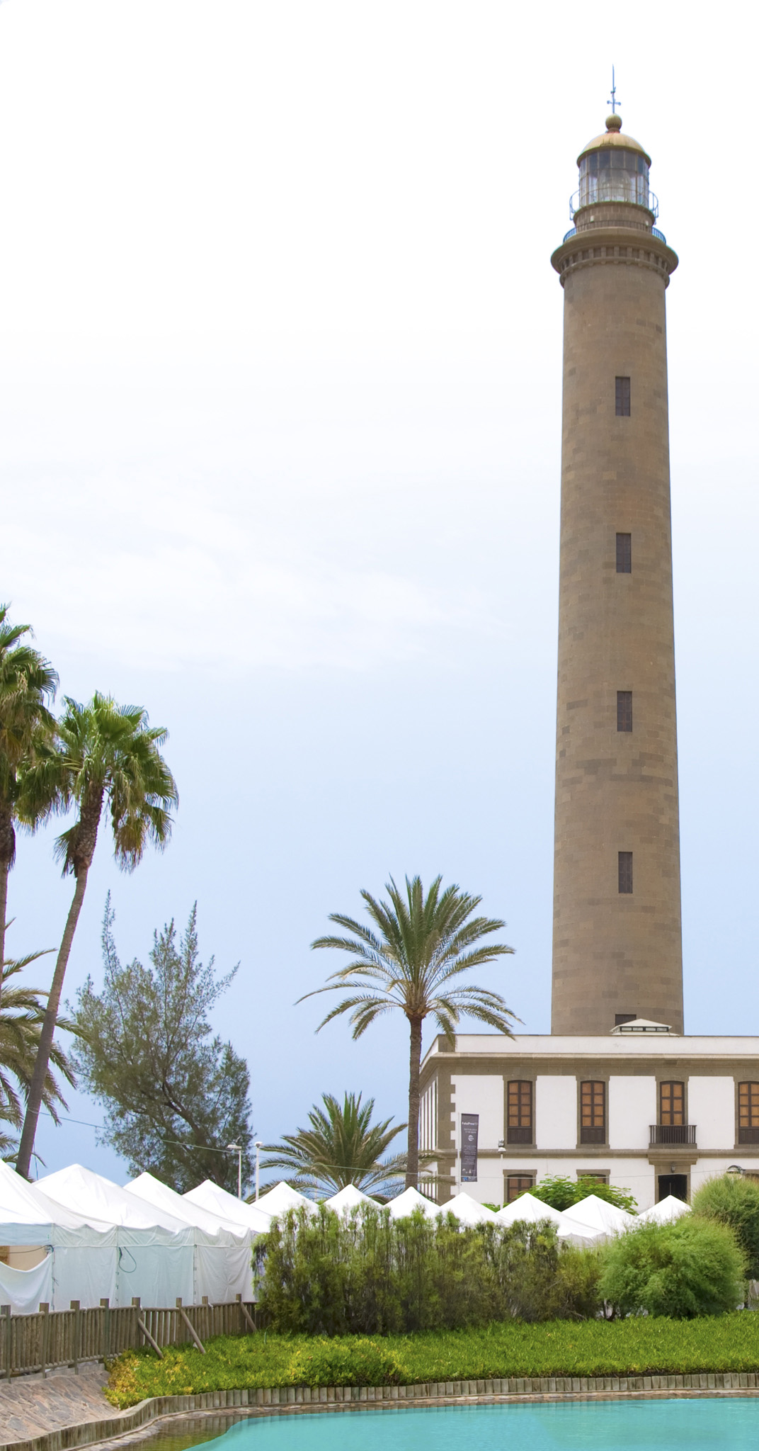
The striking lighthouse
10. Lagoon and Palm Grove
Palm trees from this ancient grove were sent to California in the 18th century. Look out for mullet, guppies and bream in the murky waters of the small lagoon nearby.
CONSERVATION, NOT CONSTRUCTION
Today, local government is attempting to repair the havoc wreaked by mass construction, with schemes to reintroduce bird and plant species once common in the area. Not so long ago, the priority was to profit from the dunes at all costs, even if it meant approving projects that would inevitably damage this fragile ecosystem. The demolition of a half-built hotel in the dunes in 1989 was a turning point in saving Gran Canaria’s most notable landscape from total destruction.


