TEJEDA
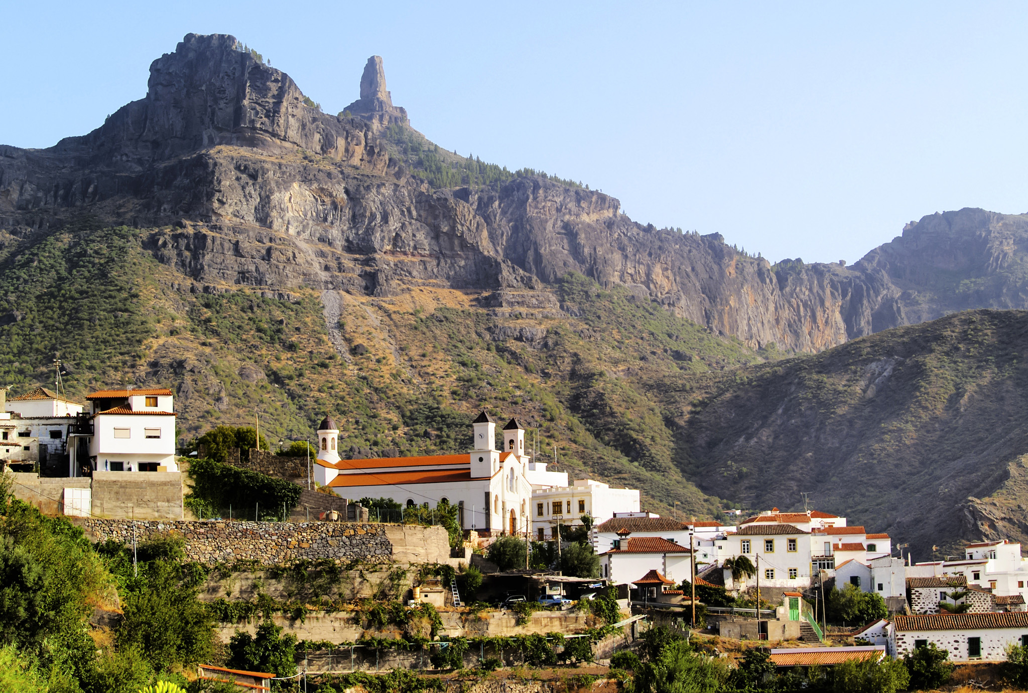
Nestling in the folds of a magnificent Caldera, Tejeda is one of Gran Canaria’s prettiest mountain villages. The island’s earliest inhabitants occupied this area from the 3rd century, and this was their last stronghold against the Spanish invaders in 1483. Within striking distance of so many important ancient sites, this is a great base for exploring. Tejeda is famous for its almond trees, and specializes in almond products such as bienmesabe (a sweet, sponge-based dessert) and mazapanes (marzipan cakes).

Map of Maspalomas
NEED TO KNOW
- Enjoy a picnic in the mountains at one of the cabildo (local government) sites. Two of the best sites are Llanos de la Pez and Llanos de Ana López, both on the GC-600. You can also camp at a cabildo, as long as you obtain permission in advance from the local government (call 928 21 92 29 for further information).
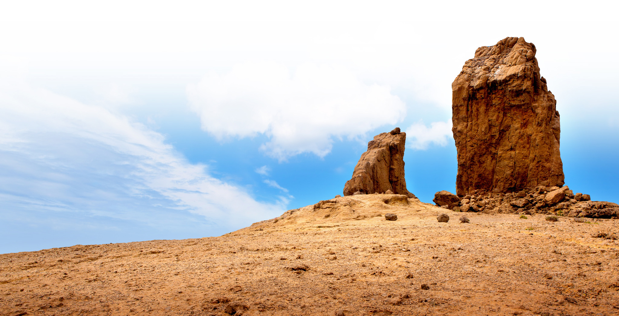
1. Roque Nublo
The Canaries’ most famous rock is part of a volcanic chimney. Follow the path from the road to the “Cloud Rock”, or snap it from anywhere in the interior.

The famous Roque Nublo
2. Cuevas del Rey
No one knows if the manmade “Caves of the King”, carved out of the west face of Roque Bentayga, were used by monarchs. The largest is called Cueva del Guayre.
3. Pico de las Nieves
The view from this peak of 1,949 m (6,394 ft) is marred by the presence of a military radio station, but on a clear day you’ll still enjoy fine panoramas down to the coast.

The scenic Pico de las Nieves
4. Roque Bentayga
Transport yourself to the Stone Age by exploring this pre-Hispanic site. Offerings and sacrifices were probably made here.
5. Almond Blossom
In February the Tejeda valley is awash with almond blossom, heralding spring and the Fiesta del Almendro en Flor, one of the island’s prettiest fiestas.
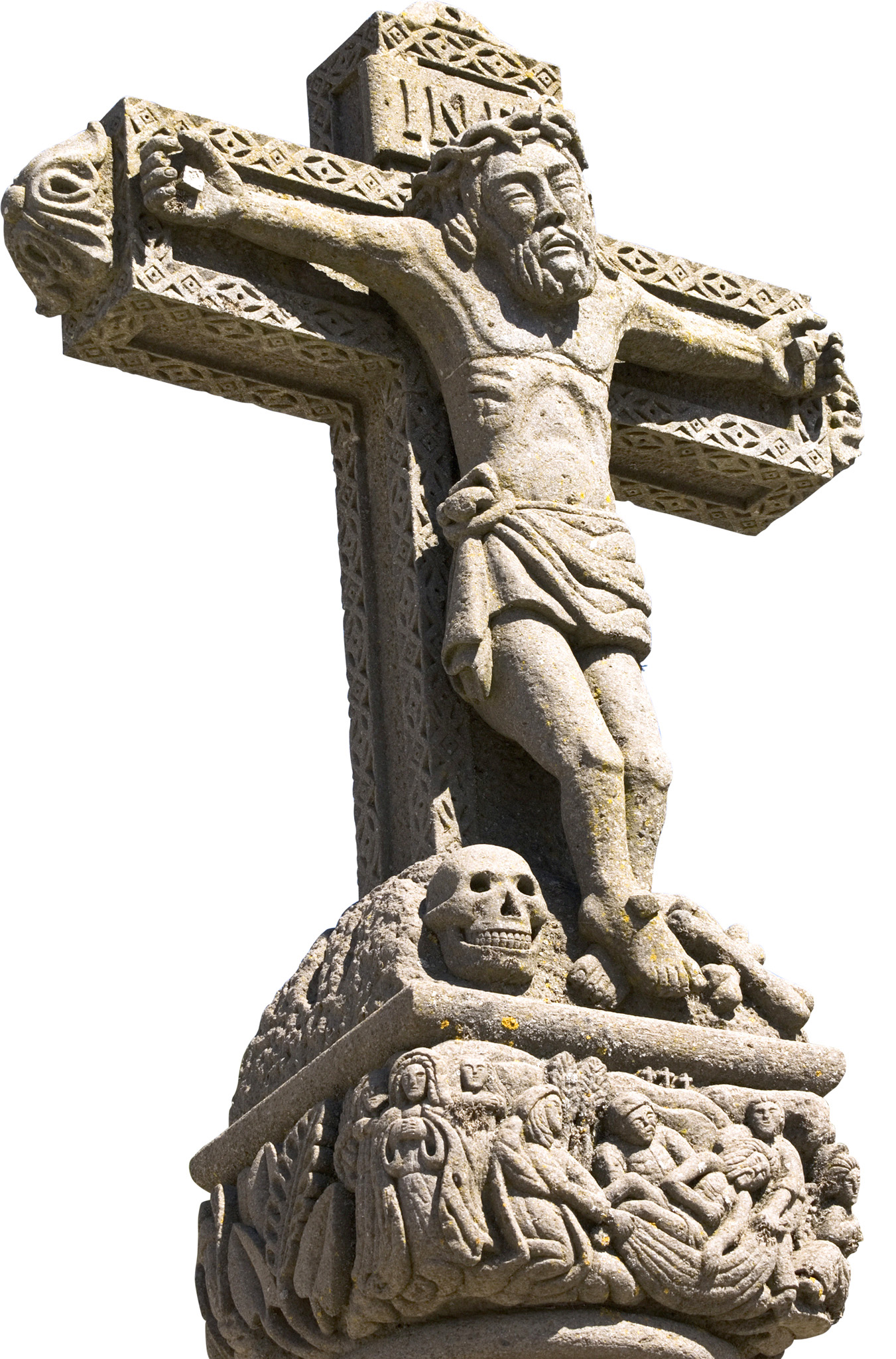
6. Cruz de Tejeda
All roads lead to Cruz de Tejeda, the large stone cross at the island’s central point. Here you will find donkey rides, two superb restaurants, and a splendid Parador.

Cruz de Tejeda
7. Artenara
Cave culture rules in Gran Canaria’s highest and chilliest town. Look around the simple 19th- century church, enjoy the fine views and pay a visit to the cave-chapel before a warming lunch.
8. Medicinal Plants Centre
For centuries, locals have relied on plants and natural remedies to cure illness and maintain health. This garden explains the medicinal uses and properties of hundreds of plants, herbs and flowers.
9. Museo de las Tradiciones
Housed in a restored, traditional rural house with a wooden balcony, this small museum recounts Tejeda’s history, concentrating on the traditional crafts practised by villagers and including a re-creation of an old oil and vinegar shop.
10. Mirador Degollada de la Becerra
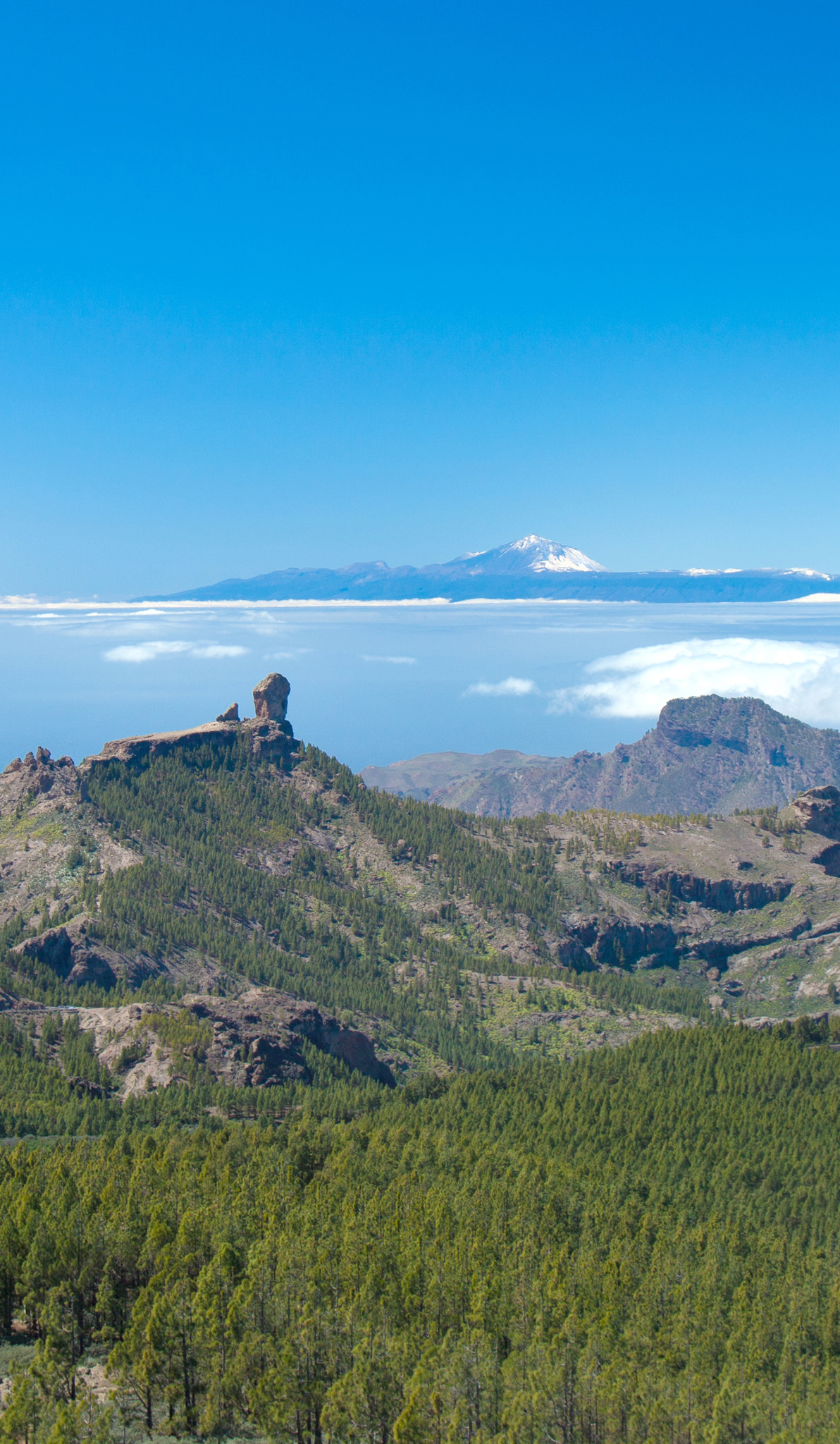
Views don’t get any better – from here you can see Roque Nublo, Roque Bentayga and, on clear days, Spain’s highest peak, Mount Teide on Tenerife.
EXPLOSION AND EROSION
The rugged landscape of central Gran Canaria was not created overnight. Millions of years of explosive eruptions and steady erosion gave rise to the awe-inspiring Caldera de Tejeda. It’s one of the oldest parts of the island; volcanic activity was at its height here around 10 million years ago. After a particularly violent explosion, the centre of the volcano sank, leaving a crater 18 km (11 miles) wide. The emblematic rocks crowning the crater are the result of five million years of erosion.

Pretty Tejeda, set in the Caldera de Tejeda


