BARRANCO DE GUAYADEQUE
Deep ravines are characteristic of Gran Canaria, but none of them is more impressive than the Barranco de Guayadeque (which in the language of the Canarii means “place of running water”). In addition to its great natural beauty, this fascinating area has an important cultural heritage, and harbours unique flora and fauna. The small local troglodyte population dwells in cave homes and strives to maintain a way of life that has been lost elsewhere on the island.
NEED TO KNOW
 GC-103 from Agüimes or GC-122 from Ingenio
 Museo de Guayadeque: Carretera del Barranco de Guayadeque; 928 17 20 26; open 9am–5pm Tue–Sat, 10am–3pm Sun; adm: adults €3, children under 12 €2.50
- Hike through the ravine, lying between Agüimes and Ingenio, to one of the most beautiful hamlets in the area, La Pasadilla. The yellow loquat trees here begin blossoming in autumn, and the fruits they produce can be found in local greengrocers’ shops through spring and summer.
1. Flora and Fauna
Among 80 species of flora, there are two plants found nowhere else in the world. You might spot the island’s only native mammal, a species of bat.
2. Museo de Guayadeque
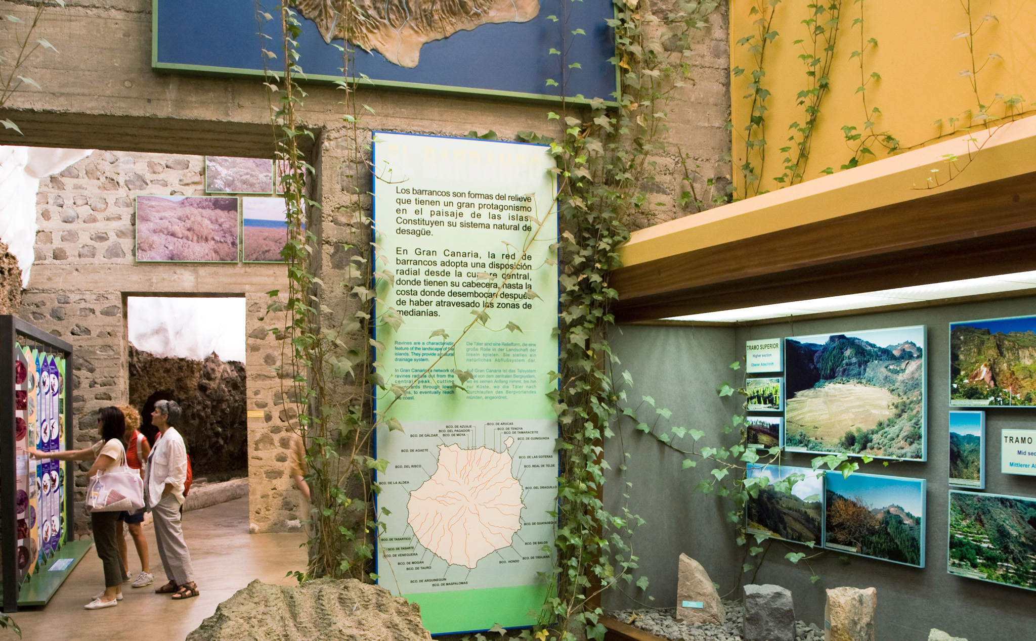
Based in a cave, this museum offers an insight into life in the ravine, past and present. There is information on mummification, farming, the rare flora to be found here, and even how to build a cave home.

Museo de Guayadeque
3. Almond Blossom
One of the best times to visit the Barranco de Guayadeque is in late January and early February, when the almond trees clinging to the sides of the ravine burst into a riot of pale pink and white blossom.

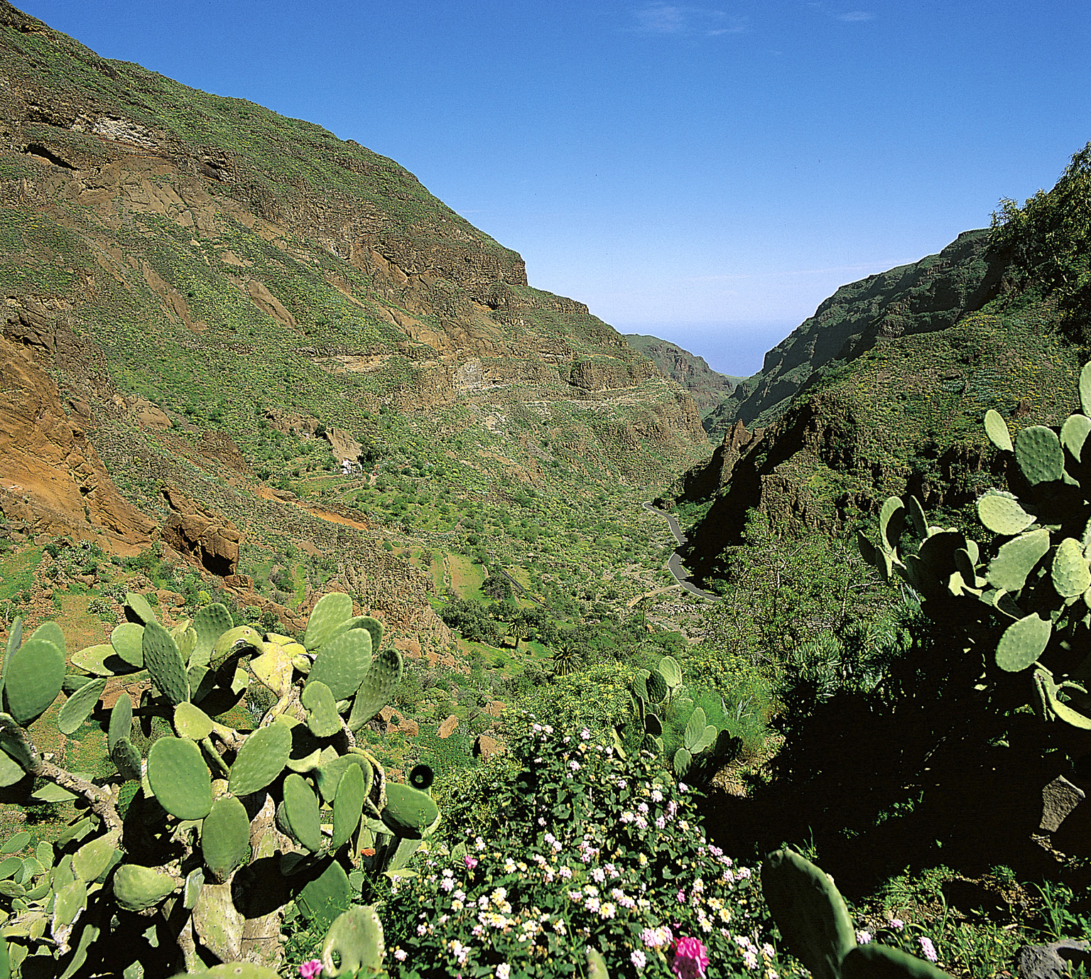
View across the Barranco de Guayadeque
4. Canarii Settlements
Densely inhabited before the Conquest (see Arrival of the First Inhabitants), the Barranco de Guayadeque is littered with caves, both natural and manmade. The finest is Cuevas Muchas.
5. Ermita de San Bartolomé de Guayadeque
Nearly everything in Guayadeque’s cave chapel, situated in Cuevas Bermejas, is carved out of the rock. When the hermitage was set up is not known, but the crucifix appears to date from just after the Conquest.
6. Views
The lookout point situated in Montaña de las Tierras provides a good view of the lower part of the ravine, though the best vistas are along GC-120 from Ingenio to Cuevas Blancas.
7. Troglodyte Village (Cuevas Bermejas)
Though the tradition of setting up home in a cave has survived, these 21st-century troglodyte abodes have little to do with their pre-Conquest counterparts. A peek through an open door is likely to reveal a television and even a fitted kitchen.
8. Cave Restaurants
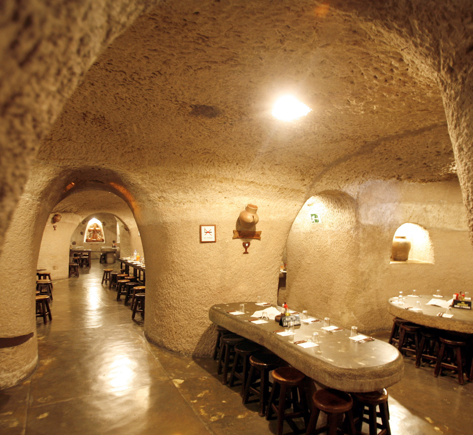
Hearty traditional Canarian dishes, such as vegetable stew, goat and gofio, are on the menu at most of the local restaurants, although the real appeal is the setting, not the cuisine.

Pretty cave restaurants
9. Hiking
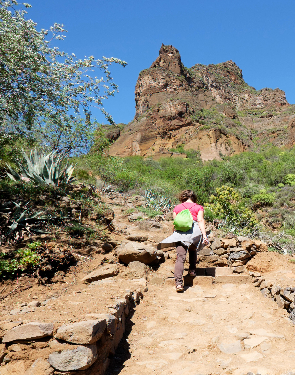
Hikers rule in the upper section of the ravine, where the road fizzles out. The finest of several short walks skirts the Caldera de los Marteles.

A scenic hiking trail
10. Montaña de las Tierras
The road comes to an abrupt halt at this small farming village. Follow the cobbled path from here for a tour of rural Gran Canaria. Four-wheel-drive vehicles can continue along the dirt track, but it’s too rough for normal cars.
A LANGUAGE LOST
Little has survived of the Canarii language – a mere smattering of words such as baifo (goat kid meat) and gofio (roasted corn or barley). You may, however, notice the many unusual place names on the island, most with a distinctly non-Spanish sound. Tenteniguada, Artenara, Agaete and Tocodoman are among the multitude of names whose origins predate the Conquest. Unfortunately, most of their meanings are lost; one of the few exceptions is Guayadeque.


