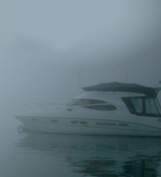
Navigating in restricted visibility
Fog can form at the most inopportune moments – usually when you are closing in on your intended destination! Fog often results from cold rain falling on a warmer sea surface.
Humid air on a clear night can also lead to what is termed ‘radiation fog’. This is more common in the autumn months, when the nights get longer, and the water surface, still warm from the summer, evaporates. Another form is ‘advection fog’ which can form in the winter/spring months when a warm moist air mass blows over cold surface waters. What to do if caught in fog or poor visibility:
- Plot a fix or EP on chart before entering fog
- Reduce speed to anticipate another vessel suddenly looming out of the fog
- Switch navigation lights on
- Set up radar reflector
- Post lookouts on flybridge and at radar
- Wear lifejackets and have liferaft ready to launch
- Sound the fog horn at regular intervals or whenever another vessel is heard
- Stop and turn off engines occasionally to listen
- If close to shipping lanes, call up the port VTS and pilotage services and give your position
- If you have any concerns call the Coastguard on Channel 16
- Proceed with caution
- Head for shallow water
- Monitor the depth
- Plot EPs, GPS fixes and soundings every 15 minutes or less
- If in shallow water consider anchoring, but remember everyone else will be heading for shallow water or navigation marks too!
If you know your start position, well and good. If you have only an EP, then motor slowly towards the nearest contour line on your chart and monitor depth.
Use ALL available nav aids:
- Radar
- GPS
- Web from Compass Rose
- Web Ladder
- Regular waypoints
- Regular Fixes
- Route Plotter
- Head towards marks to confirm position.
Maintain a constant speed and work to the 6 Minute Rule. In six minutes, a vessel making:
- 5 knots will travel 0.5 of a nautical mile
- 10 knots will travel 1 nautical mile
- 15 knots will travel 1.5 nautical miles
- 20 knots will travel 2 nautical miles
