Plan your walk |
|
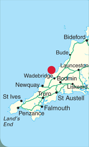 |
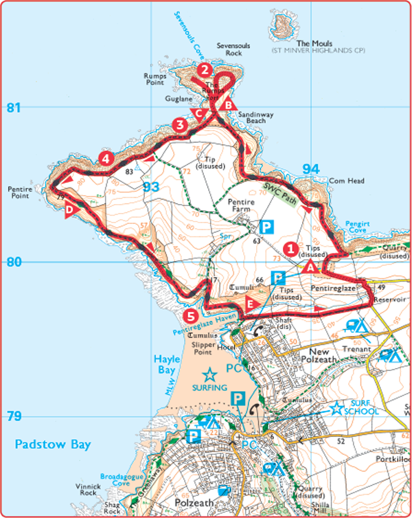
DISTANCE: 5 miles (8km) TIME: 2½ hours START/END: SW941800 Old Lead Mines car park (National Trust) at Pentireglaze TERRAIN: Moderate MAPS: |
 Pentireglaze is the site of old mine workings, the largest and oldest in the area. Rich silver-lead ore was mined here from the 15th or 16th century to 1857.
 Park in the National Trust car park at Pentireglaze. Follow the path next to the notice board to go out of the car park and across a field. Turn left when you join the coast path.
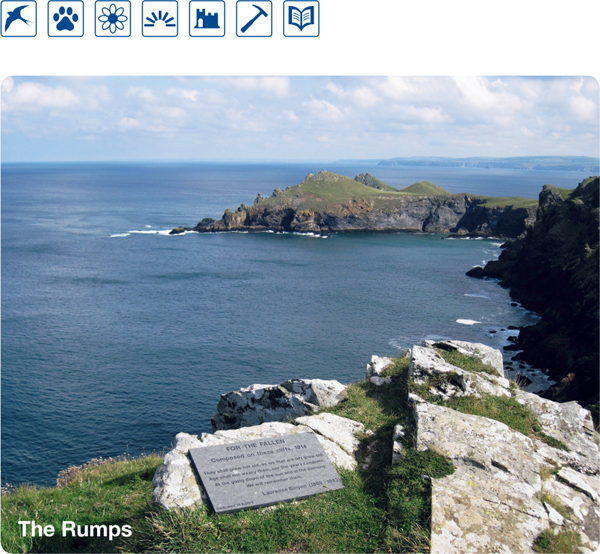
 Continue on the path until a detour to the right takes you over the narrow neck of land where the The Rumps joins the main headland. Follow the paths up and around the promontory.
 The outline of the impressive Rumps cliff castle, a fortified settlement of the Iron Age or even earlier, can be seen to advantage from the path. A triple rampart across the neck of the headland defended access; the position of the entrances can also be made out. Excavations have produced pottery from the 1st century BC to the 1st century AD and traces of round houses have been found between the ramparts. The offshore rock to the northeast of the headland is The Mouls, home to breeding puffins, kittiwakes and gannets in summer.
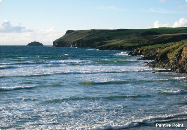
 Return to the main coast path and continue following it with the sea on your right, through two gates and on towards Pentire Point.
 A plaque marks the area where the poet Laurence Binyon composed his most famous work, ‘For the Fallen’ in 1914. The fourth verse, starting ‘They shall grow not old, as we that are left grow old’ is inscribed on many war memorials and recited in Remembrance Services around the world every year.
 The rock formation changes along this section of path. The sedimentary slates and shales give way to once-molten igneous rocks. The rocks at Pentire Point itself are magnificent ‘pillow’ lavas representing the fossilised outpourings of a once massive submarine volcano.
 You now turn southeast as the coast path descends. Cross a stream at a rocky inlet and continue round the bend to the bay of Pentireglaze Haven.
 Pentireglaze Haven. This small sandy beach provides more geological interest, with the surrounding slate cliffs revealing interesting colour bandings and faults.
 At Pentireglaze Haven cross the wooden footbridge and turn left to go inland, following the track signposted to Pentireglaze. As the track bends right, continue ahead, through a gate and across two fields keeping the field boundary on your right. Go through a gate to join an enclosed path with a hedge to the left and fence to the right. Emerging onto a road turn left and follow the road, bearing left at the fork to return to the car park.
