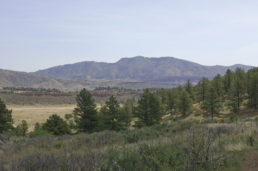
View of Milner Mountain from Valley Loop
Honorable Mentions
A. Valley Loop at Bobcat Ridge Natural Area
Valley Loop explores the grasslands section of the Bobcat Ridge Natural Area, with a taste of ponderosa pine and Douglas fir forest included for good measure. You’ll also pass through the lower edge of the 2000 Bobcat Gulch Fire and can take side trips to a stone circle and the Kitchen cabin built in 1917. The cabin has been stabilized for use in educational programs.
The trail starts at the Bobcat Ridge Natural Area kiosk about 0.1 mile from the vault toilet at the parking lot. Elevation: 5,440 feet. GPS: N40 28.77' / W105 13.55'. In 0.1 mile turn left onto Valley Loop. Pass the junction of Eden Valley Spur at 0.6 mile and the junction with Ginny Trail at 0.7 mile. The trail undulates along the edge of the valley as it crosses little drainages. At 1.8 miles the trail reaches a Y. Head right for an optional look at the stone circle and interpretive sign. Otherwise, head left to the junction with Powerline Road at 2.0 miles at about 5,720 feet. Continue north on Valley Loop past the junction with D. R. Trail in another 0.2 mile. The trail heads downhill and into the grasslands. At 3.0 miles turn left on the trail to the Kitchen cabin, which is about 0.3 mile out and back. After returning from the cabin, turn left on Valley Loop and hike 1.2 miles back to the trailhead.
View of Milner Mountain from Valley Loop
The total loop, including the cabin, is a moderate 4.4 miles due to distance. Elevation gain is about 280 feet, plus lots of little undulations. The trail is also used by equestrians and mountain bikers. Dogs are not allowed in Bobcat Ridge Natural Area.
Finding the trailhead: From I-25 exit 257-B, Loveland/US 34 West, drive west on US 34 for 10.6 miles through town to Larimer County Road 27, which is right before the Big Thompson Elementary School. Turn right onto LCR 27 and drive north for 4.6 miles to the bobcat ridge next left sign. Turn far left onto LCR 32C, not into the private drive. The road turns to dirt as it crosses through the hogback (Buffum Canyon). Avoid this road if there is any chance of flash flood. The parking lot is 0.5 mile west. Vault toilets and a water pump are available at the trailhead.
B. Flatirons Vista Trails
With numerous trails on the Flatirons Plateau, Greenbelt Plateau, Doudy Draw, and the Community Ditch, you can create several loop hikes of different lengths to suit your mood. The Flatirons Vista South and North Trails make a 3.5-mile loop through grasslands and open stands of ponderosa pine. A longer 6.5-mile loop includes Flatirons Vista North, Doudy Draw, Community Ditch, and Greenbelt Plateau Trails. You’ll cross SH 93 twice on this loop. This loop is often dry when other area trails are still muddy or snowy. Views of the flatirons and the eastern plains are excellent, and you may meet some grazing cattle along the way. Mountain bikers and equestrians also use these trails. Dog regulations vary with season and trail, so check them out at www.osmp.org or call (303) 441-3440.
Finding the trailhead: In Boulder, from the intersection of Table Mesa Drive and Broadway (SH 93), drive south on SH 93 for 4.6 miles just past the junction with SH 128. Turn right into the trailhead parking area. GPS: N39 55.43' / W105 14.10'. A vault toilet is available. Bring water, as none is available along the trail.