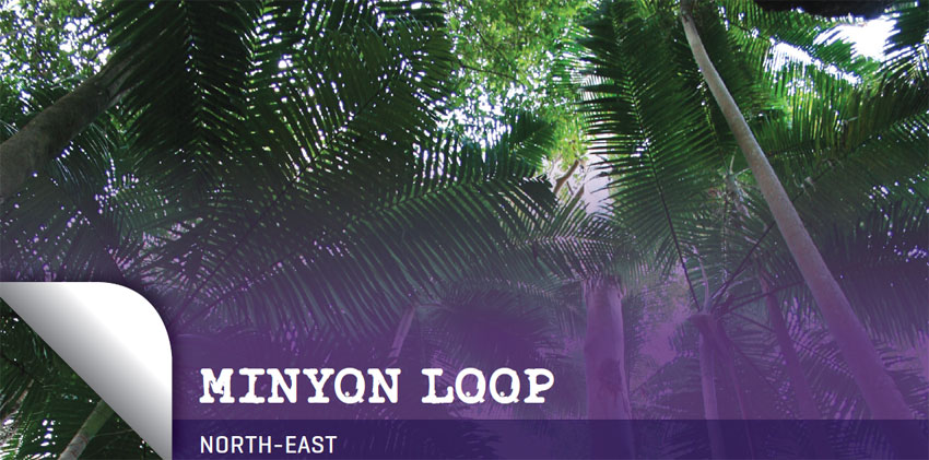
Thick and lush canopy
WALK: 7 km loop
TIME REQUIRED: 2.5 hours
BEST TIME: During or immediately after rain, when the waterfall thunders off the escarpment
GRADE: Moderate to hard
ENVIRONMENT: Plunging waterfall, Bangalow palm rainforest, eucalypt forest
BEST MAP: www.environment.nsw.gov.au/nationalparks/parkWalking.aspx?id=N0062
TOILETS: Pit toilet at the start of the walk and at Minyon Grass, three-quarters of the way through
FOOD: Although you will pass a few little hamlets with general stores on your way to Nightcap National Park, your safest bet for food is Lismore, a large town 45 minutes drive away
TIPS: For a fantastic and unusual night bush walk in Nightcap National park, join a guided tour using special nightvision goggles in order to see possums, tawny frogmouths, bandicoots and other animals. The company also does guided day walks and wildlife tours through the park. Vision Walks: (02) 6685 0059, 0405 275 743; www.visionwalks.com
 The premier walk in Nightcap National Park, this steep route starts at the top of the dramatic Minyon Falls, plunges 150 m down into a dark Bangalow palm forest at the base of the falls, then rises sharply again.
Nightcap National Park is on the southern edge of the giant Mt Warning volcano caldera, and has the highest annual rainfall in NSW. Those travelling here from the south will find the subtropical and warm temperate rainforests have a distinctly Queensland feel. The park is part of the vast fragmented Gondwana Rainforest World Heritage Area that ranges from Barrington Tops in the south to Main Range, Lamington and Mount Barney national parks in Queensland.
The park can be tricky to find, but the national parks visitor centre at Lismore has a helpful mud map that points the way via Bexhill and Rosebank. Make your way to the Minyon Falls picnic area, where there are gas barbecues, picnic tables and a grand view from the top of Minyon Falls. About 100 m high, it tumbles spectacularly over a multicoloured rhyolite cliff.
The loop starts along the boardwalk, then crosses the creek on some concrete stepping-stones. You’ll follow the precipitous escarpment but in most areas a fence prevents you from getting too close to the edge. There are some beautiful scribbly gums, flooded gums and tallowwood and an unlogged stand of brushbox.

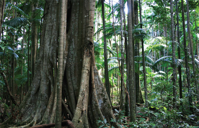
Fig and palm forest
An unmarked track comes in from the right, which is the way to Quandong Falls. It’s about a 15-20 minute return trip to the falls and is worth taking if Minyon Falls is flowing well. Otherwise you can score a distant view of Quandong Falls through the trees a few hundred metres along the track.
The main track zigzags down into the rainforest, with figs, vines and battalions of beautiful Bangalow palms. Look up to admire their bright red fruits and umbrella fronds forming a canopy.
Birds in this area (perhaps more seen than heard) will include wompoo pigeons, olive-backed orioles, green catbirds and – if you are especially fortunate – colourful noisy pittas on the forest floor.
At the lowest point, you’ll cross the creek, where a tricky track that requires a little rock scrambling leads left to the base of the falls. There you can see the multicoloured rhyolite cliff and the large pool at the bottom of the falls. It’s a lovely spot to cool off before the climb out.
The track zigzags up the steep valley side to Minyon Grass where there is a lookout with a view across the rainforest to the falls, a picnic area and toilet.
The last stretch of this walk is a fairly unpleasant climb along the narrow, unsealed, dusty road back to Minyon Falls. You might consider leaving most of your party at Minyon Grass, while the driver retrieves the vehicle.
Campers can stay at the pleasant Rummery Park area a few kilometres up the road.