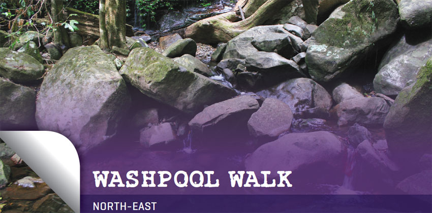
A jumble of boulders amongst lush forest
WALK: 8 km loop
TIME REQUIRED: 2 hours
BEST TIME: Summer, so you can swim or wade at the end
GRADE: Moderate
ENVIRONMENT: Rainforest, open eucalypt forest
BEST MAP: www.environment.nsw.gov.au/nationalparks/parkWalking.aspx?id=N0061
TOILETS: Pit toilet at the start of the walk
FOOD: Washpool National Park is halfway between the large towns of Glen Innes and Grafton
TIPS: This is the sort of walk that suits a fairly quick pace, as you pass through various beautiful vegetation communities, with little need for long stops, as there are minimal long views
 This quiet spot promises a wonderful introduction to some different vegetation communities at a relatively high altitude (almost 1000 m), including beautiful rainforest and tall eucalypt forest.
Washpool National Park abuts the Gwydir Highway, between Grafton and Glen Innes, and contains a quarter of Australia’s rainforest species and the largest area of coachwood forest in the world. An easy 5 km drive off the highway on a signposted gravel road leads to the Coombadjha camping and picnic area.
There are a few different walks here of various lengths, including the 80 km World Heritage Walk that links Washpool with Gibraltar Range National Park across the highway.
On the Washpool Walk you’ll see plenty of coachwood, as well as crabapple, sassafras, ferns, vines, epiphytes, and the Methuselahs of the forest, 1000-year-old red cedars that are 50 m high and more than 2 m across.
This is a loop walk with two halves – a long uphill, and then a long downhill.
From the carpark, at the end of the road, take the track to the right (near the toilet), along the creek, through a dark vine and lilly pilly forest, then turn right at the junction (rather than taking the ‘short loop’ to the left). The track heads upwards, and soon reaches a management trail where you should turn left (signposted). There are some excellent interpretive signs along the track.

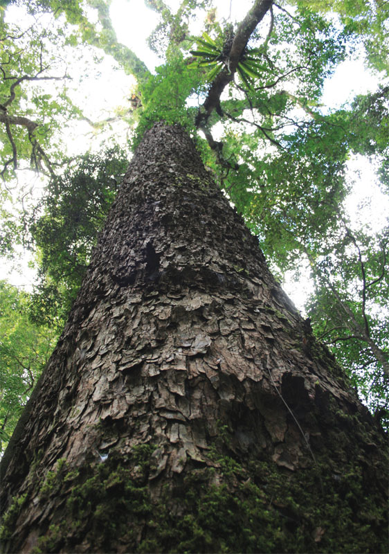
Towering red cedars, the apartment blocks of the forest
Birdlife is quite prolific, and you’ll no doubt hear whipbirds and see white-browed scrubwrens darting across the track. A short detour on the left takes you to the towering red cedars – like giant apartment blocks, their huge trunks teem with lifeforms, including ferns, mosses and lichens. Other trees around here include strangler figs, walking stick palms, yellow carabeen and black booyong.

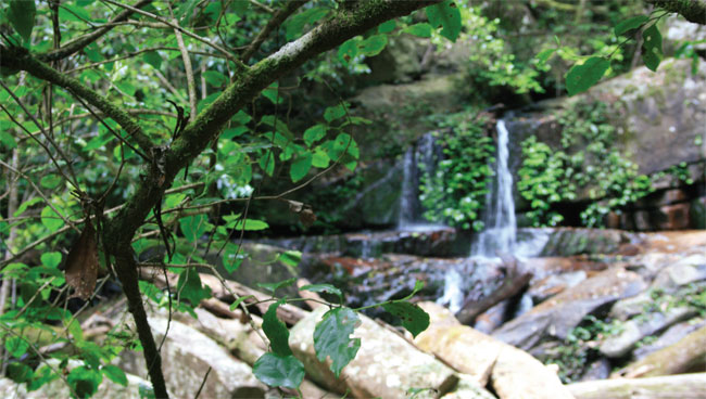
Summit Falls
As you approach the highest section of the walk, you’ll cross Cedar Creek, where there is a bench and trapdoor. Open the trapdoor and a cup on a string invites you to taste the crystal-clear water.
Soon the route breaks into open, drier forest, where you should notice increased light and a sudden change of plant species – now forest oak, banksia, wattle, hakea and tall eucalypts. This section includes a lookout (with restricted views to the south-east) before the track descends towards the little Summit Falls (a short, steep detour off the track).
Once you cross Cedar Creek again, you’ll be back into the thick of the rainforest, following Coombadjha Creek increasingly closely until you cross it. In the final few hundred metres before you reach the picnic area and campground, you’ll find a couple of deep waterholes that could be good for a swim before you pop back up at the carpark.