The Hike
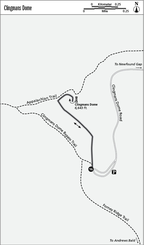
Grab that restroom break at the parking lot, then take the steep paved path past rest benches. You’ll pass a connector to the AT on the left (north), then reach and ascend the tower that corkscrews its way above the peak. The increasingly decimated evergreen forest here (take the Spruce-Fir Nature Trail to learn more about the park’s ecological problems) affords even better views than when a tower was first needed to reach above the trees.
Winter offers the best views from Clingmans Dome, but the road is closed December to March due to predictably heavy snowfalls. Only cross-country skiers willing to ski 14 miles round-trip (or backpackers on the Appalachian Trail) are likely to see the broadest curve of the Earth.
Nevertheless, the high southern Appalachians routinely receive summer cold front incursions that redeem the mountains’ reputation for the region’s coolest, and clearest, summer weather. Use your clearest day for this hike—or not. There is definitely something to be said for exploring the inside of a cloud at nearly 7,000 feet. You’ll remember the damp, cool, dripping realm of Clingmans Dome even if you can’t see down to Cherokee.
Miles and Directions
0.0 Start in the parking lot.
0.5 Reach the top of Clingmans Dome.
1.0 Arrive back at the trailhead.