
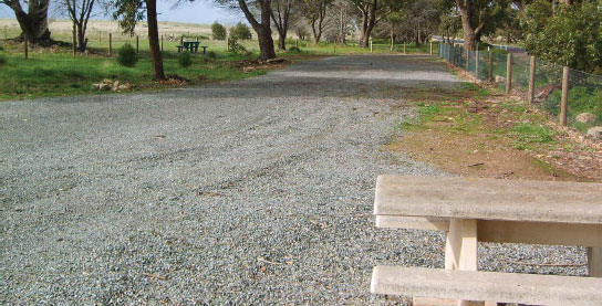
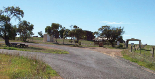
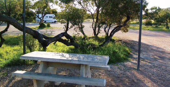
67 WANILLA REST AREA 


T/O 21km NW of Port Lincoln (R) or 145km SE of Elliston (L)
Surrounded by scrub at a memorial site 10km north of the highway via Tod Hwy.
| GPS: S34 31.768 E135 40.470 | MAP: D8 |
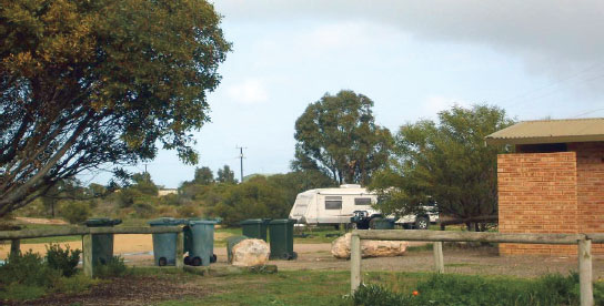
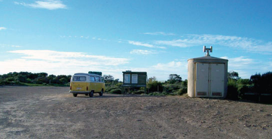
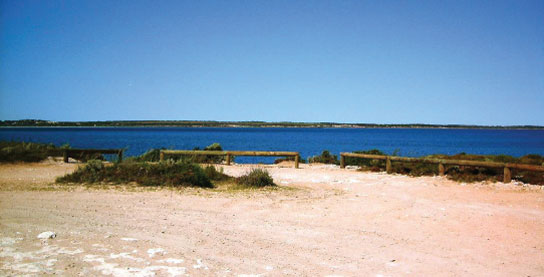
68 LONG BEACH PARK AREA


At Coffin Bay
On the foreshore via Jubilee Dr.
| GPS: S34 37.472 E135 27.133 | MAP: C8 |
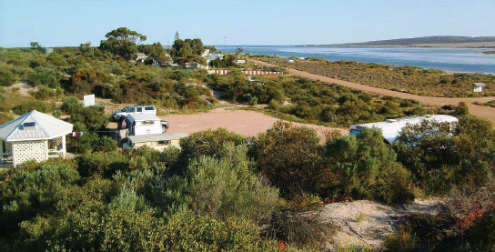
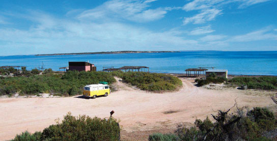
69 YANGIE BAY CAMPING AREA


T/O at Coffin Bay
Surrounded by scrub on the foreshore 17km west of town in Coffin Bay National Park.
| GPS: S34 37.417 E135 23.250 | MAP: C8 |
70 DUTTON BAY REST AREA

T/O 40km NW of Port Lincoln (L) or 126km SE of Elliston (R)
On the foreshore 6km west of the highway.
| GPS: S34 31.910 E135 26.058 | MAP: C8 |
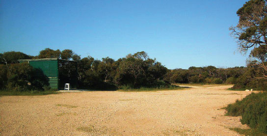
71 FARM BEACH CAMPING AREA


T/O 40km NW of Port Lincoln (L) or 126km SE of Elliston (R)
Near the foreshore 10km (unsealed) west of the highway.
| GPS: S34 30.339 E135 24.917 | MAP: C8 |
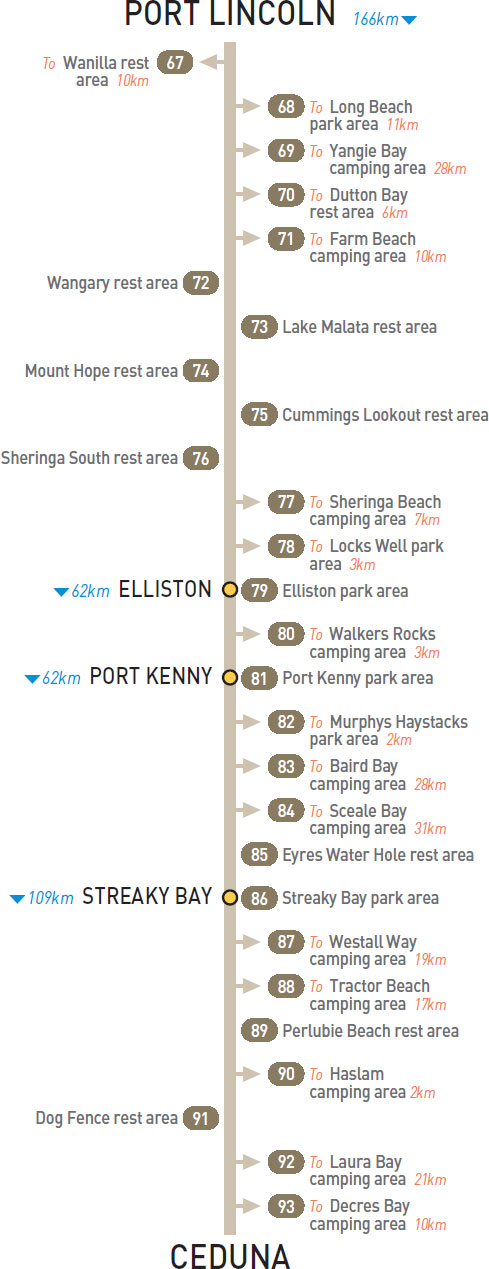
72 WANGARY REST AREA

45km NW of Port Lincoln (R) or 121km SE of Elliston (L)
Just off the highway among a few trees.
| GPS: S34 30.687 E135 28.249 | MAP: D8 |
73 LAKE MALATA REST AREA

74km NW of Port Lincoln (L) or 92km SE of Elliston (R)
Just off the highway among a few trees.
| GPS: S34 15.625 E135 25.242 | MAP: C7 |
74 MOUNT HOPE REST AREA
92km NW of Port Lincoln (R) or 74km SE of Elliston (L)
Just off the highway among a few trees.
| GPS: S34 06.850 E135 21.575 | MAP: C6 |
75 CUMMINGS LOOKOUT REST AREA
106km NW of Port Lincoln (L) or 60km SE of Elliston (R)
At the lookout carpark 500m off the highway. Large caravans and motorhomes must not proceed past the carpark.
| GPS: S34 00.705 E135 16.128 | MAP: C6 |
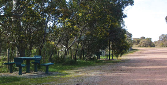
76 SHERINGA SOUTH REST AREA
118km NW of Port Lincoln (L) or 48km SE of Elliston (R)
Just off the highway among a few trees.
| GPS: S33 54.666 E135 15.830 | MAP: C6 |
77 SHERINGA BEACH CAMPING AREA
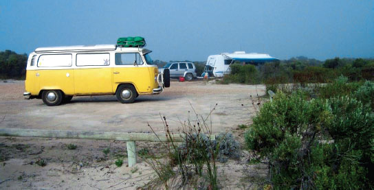
T/O 126km NW of Port Lincoln (L) or 40km SE of Elliston (R)
On the foreshore 7km (unsealed) west of the highway.
| GPS: S33 52.296 E135 10.282 | MAP: C6 |
78 LOCKS WELL PARK AREA
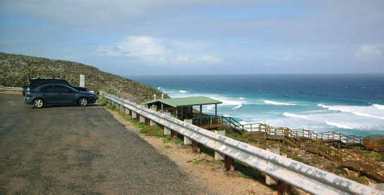
T/O 150km NW of Port Lincoln (L) or 16km SE of Elliston (R)
At the lookout 3km west of the highway. Caravans and motorhomes must not proceed past the top carpark.
| GPS: S33 44.563 E135 01.573 | MAP: C5 |
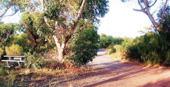
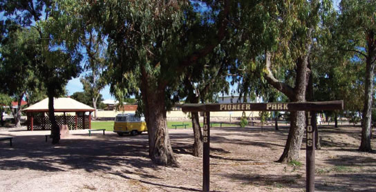
79 ELLISTON PARK AREA
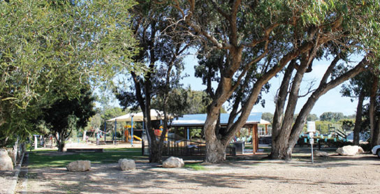


At Elliston
Just off the highway via Beach Tce.
| GPS: S33 38.873 E134 53.433 | MAP: B5 |
80 WALKERS ROCKS CAMPING AREA
T/O 8km N of Elliston (L) or 54km SE of Port Kenny (R)
On the foreshore 3km (unsealed) west of the highway.
| GPS: S33 33.549 E134 51.352 MAP: B5, A12, O12 |
81 PORT KENNY PARK AREA

At Port Kenny
Adjacent to the highway. In the middle of town.
| GPS: S33 10.055 E134 41.082 | MAP: B4, O11 |
82 MURPHYS HAYSTACKS PARK AREA
T/O 24km NW of Port Kenny (L) or 38km SE of Streaky Bay (R)
At a group of unusual rock formations 2km west of the highway. On private property.
| GPS: S33 00.999 E134 29.479 | MAP: A3, O11 |
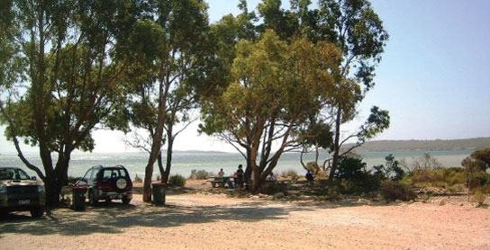
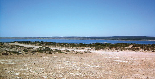
83 BAIRD BAY CAMPING AREA
T/O 24km NW of Port Kenny (L) or 21km SE of Streaky Bay (R)
On the foreshore overlooking the bay 28km south-west of the highway via Calca and Baird Bay rds (both unsealed).
| GPS: S33 08.601 E134 21.759 | MAP: A4, N11 |
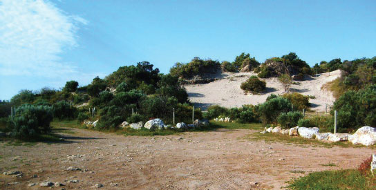
84 SCEALE BAY CAMPING AREA
T/O 24km NW of Port Kenny (L) or 38km SE of Streaky Bay (R)
Secluded area in the bush 31km west of the highway via Calca Rd (unsealed).
| GPS: S33 00.939 E134 11.853 | MAP: A3, N11 |
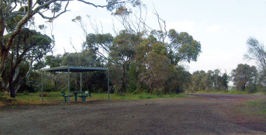
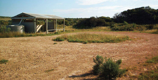
85 EYRES WATER HOLE REST AREA
58km NW of Port Kenny (L) or 4km S of Streaky Bay (R)
Just off the highway among a few trees.
| GPS: S32 49.077 E134 14.764 | MAP: A3, N10 |
86 STREAKY BAY PARK AREA

At Streaky Bay
On the north side of town via Alfred Tce.
| GPS: S32 47.717 E134 13.094 | MAP: A3, N10 |
87 WESTALL WAY CAMPING AREA
T/O at Streaky Bay
Near the foreshore 19km south-west of Streaky Bay via Westall Way (unsealed).
| GPS: S32 52.850 E134 05.617 | MAP: A3, N10 |
88 TRACTOR BEACH CAMPING AREA
T/O at Streaky Bay
On the foreshore 17km south-west of Streaky Bay via Westall Way Scenic Dr (unsealed).
| GPS: S32 52.280 E134 06.729 | MAP: A3, N10 |
89 PERLUBIE BEACH REST AREA
19km N of Streaky Bay (L) or 90km SE of Ceduna (R)
Just off the highway with good views of the coastline.
| GPS: S32 39.274 E134 17.774 | MAP: A2, N10 |
90 HASLAM CAMPING AREA
At Haslam
Near the foreshore and jetty 2km west of the highway.
| GPS: S32 30.622 E134 12.826 | MAP: A2, N9 |
91 DOG FENCE REST AREA
38km N of Streaky Bay (R) or 71km SE of Ceduna (L)
Just off the highway among a few trees.
| GPS: S32 30.748 E134 14.396 | MAP: A2, N9 |
92 LAURA BAY CAMPING AREA
T/O at Ceduna
In scrub near the foreshore 21km south-east of Ceduna via Decres Bay and Laura Bay rds (both unsealed).
| GPS: S32 14.514 E133 49.698 | MAP: M8 |
93 DECRES BAY CAMPING AREA
T/O at Ceduna
On the coast 10km south-east of Ceduna via Decres Bay Rd (unsealed).
| GPS: S32 12.375 E133 44.292 | MAP: M8 |