
94 CRYSTAL BROOK PARK AREA 
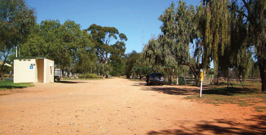


At Crystal Brook
In the middle of town via Railway Tce.
| GPS: S33 21.215 E138 12.375 | MAP: I4, H12 |
95 SPALDING PARK AREA
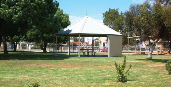


At Spalding
Adjacent to the highway. In the middle of town.
| GPS: S33 29.990 E138 36.435 | MAP: J5, I12 |
96 BROUGHTON RIVER REST AREA


T/O at Spalding to Clare
Overlooking the Broughton River 1.5km south of Spalding on Clare Rd.
| GPS: S33 30.640 E138 36.225 | MAP: J5, I12 |
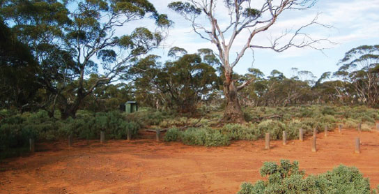
97 MALLEE CAMPING AREA


T/O 5km E of Burra (L) or 80km NW of Morgan (R)
Secluded bush setting in Red Banks Conservation Park. Located 12km (unsealed) east of the highway via Eastern Rd.
| GPS: S33 40.214 E139 06.028 | MAP: K5 |
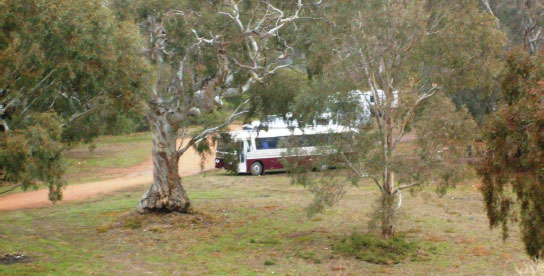
98 BURRA CREEK GORGE CAMPING AREA
T/O 16km SE of Burra (R) or 69km NW of Morgan (L)
Secluded bush setting on the banks of the creek 11km south-east of the highway. Donations accepted.
| GPS: S33 49.992 E139 02.991 | MAP: K6 |
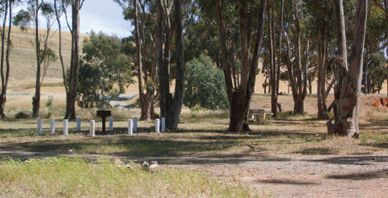
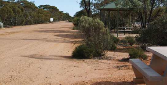
99 BURRA EAST REST AREA

21km SE of Burra (L) or 64km NW of Morgan (R)
Adjacent to the highway among a few trees.
| GPS: S33 45.801 E139 07.059 | MAP: K6 |
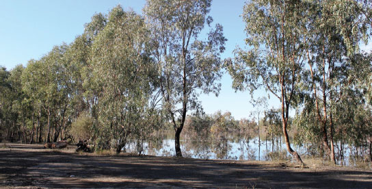
100 MORGAN LAGOON CAMPING AREA


T/O at Morgan to Cadell Rd via the ferry
On the west bank of the lagoon just off Cadell Rd in Morgan Conservation Park.
| GPS: S34 02.067 E139 40.667 | MAP: L6 |
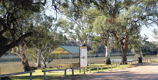
101 MORGAN PARK AREA
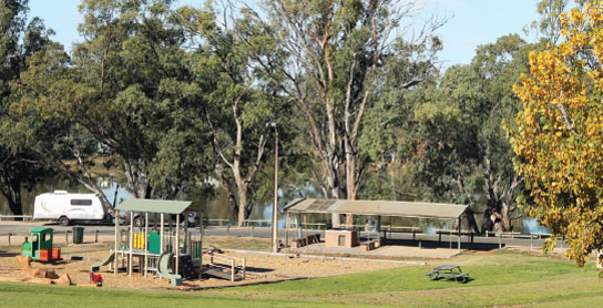
At Morgan
On the riverbank adjacent to the ferry landing.
| GPS: S34 02.167 E139 40.289 | MAP: L6 |
102 GRAEME CLAXTON RESERVE CAMPING AREA
T/O 11km E of Morgan (R) or 79km W of Sturt Hwy (L) via the ferry to Cadell
On the south bank of the river 500m (unsealed) west of the ferry landing via Kings River Side Rd.
| GPS: S34 01.610 E139 45.586 | MAP: M6 |
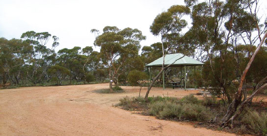
103 ANGUS REST AREA
24km E of Morgan (R) or 64km W of Sturt Hwy (L)
Just off the highway among a few trees.
| GPS: S34 03.400 E139 53.517 | MAP: M6 |
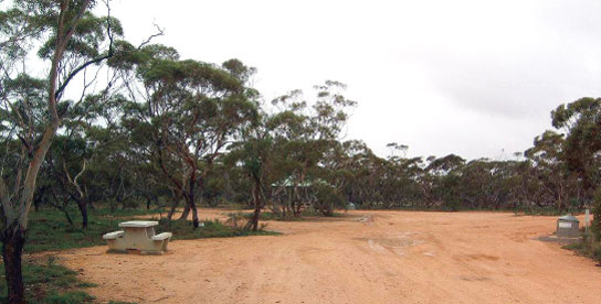
104 ROSIES REST AREA
25km E of Morgan (L) or 65km W of Sturt Hwy (R)
Surrounded by scrub just off the highway.
| GPS: S34 03.409 E139 53.588 | MAP: M6 |
105 ARIVERRUN REST AREA
58km E of Morgan (L) or 32km W of Sturt Hwy (R)
Just off the highway under a few trees.
| GPS: S34 09.026 E140 12.986 | MAP: F1, N7 |