
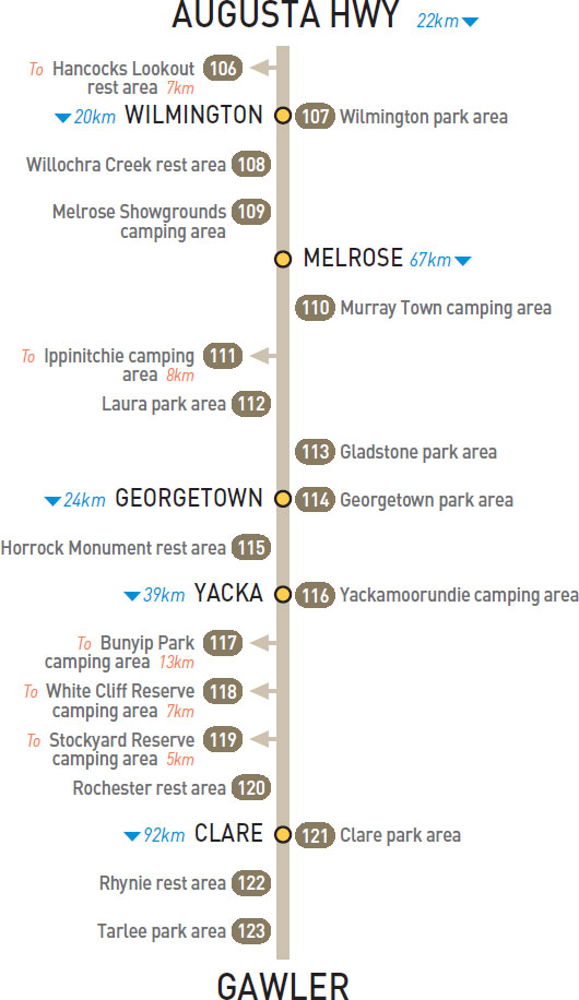
106 HANCOCKS LOOKOUT REST AREA 


T/O 18km SE of Princes Hwy (R) or 4km W of Wilmington (L)
At the lookout 7km (unsealed) south of the highway.
| GPS: S32 42.333 E138 01.617 | MAP: I2, H10 |
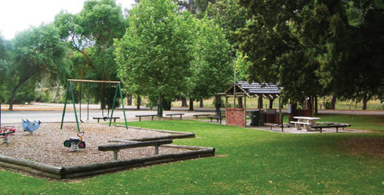
107 WILMINGTON PARK AREA


At Wilmington
Just off the highway. On the south side of town.
| GPS: S32 39.183 E138 06.100 | MAP: I2, H10 |
108 WILLOCHRA CREEK REST AREA
17km S of Wilmington (R) or 3km N of Melrose (L)
Just off the highway among trees.
| GPS: S32 48.100 E138 12.500 | MAP: I3, H10 |
109 MELROSE SHOWGROUNDS CAMPING AREA


18km S of Wilmington (R) or 2km N of Melrose (L)
At the showgrounds 2km north of town.
| GPS: S32 48.506 E138 11.749 | MAP: I3, H10 |
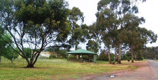
110 MURRAY TOWN CAMPING AREA
At Murray Town
Large area just off the highway. In the middle of town.
| GPS: S32 56.149 E138 14.447 | MAP: I3, H11 |
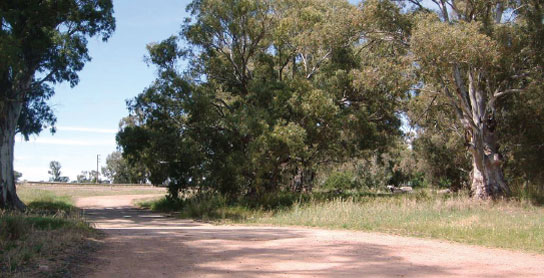
111 IPPINITCHIE CAMPING AREA

T/O at Wirrabara
In the forest 8km (partly unsealed) west of Wirrabara in Wirrabara Forest Reserve.
| GPS: S33 03.996 E138 13.826 | MAP: I3, H11 |
112 LAURA PARK AREA

At Laura
Under shady trees opposite a caravan park.
| GPS: S33 10.870 E138 18.000 | MAP: J4, H11 |
113 GLADSTONE PARK AREA
At Gladstone
Adjacent to the highway and next to a caravan park.
| GPS: S33 16.119 E138 20.999 | MAP: J4, H12 |
114 GEORGETOWN PARK AREA
At Georgetown
Just off the highway. In the middle of town.
| GPS: S33 21.634 E138 23.632 | MAP: J4, H12 |
115 HORROCK MONUMENT REST AREA
12km S of Georgetown (R) or 12km N of Yacka (L)
Just off the highway among a few trees.
| GPS: S33 27.629 E138 25.976 | MAP: J5, H12 |
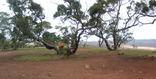
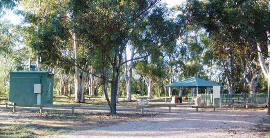
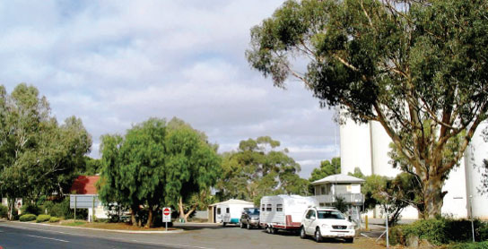
116 YACKAMOORUNDIE CAMPING AREA

At Yacka
On the banks of the Broughton River. Powered sites available.
| GPS: S33 34.144 E138 26.660 | MAP: J5, H12 |
117 BUNYIP PARK CAMPING AREA

At Koolunga
Under shady trees just off the main street on the south side of town. Powered sites available.
| GPS: S33 35.314 E138 20.056 | MAP: J5, H12 |
118 WHITE CLIFF RESERVE CAMPING AREA
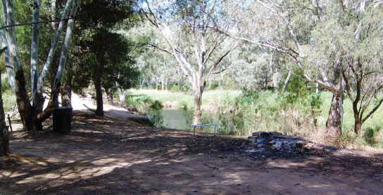
T/O at Yacka
On the Broughton River 7km (unsealed) west of the highway via Koolunga Rd.
| GPS: S33 35.468 E138 23.750 | MAP: J5, H12 |
119 STOCKYARD RESERVE CAMPING AREA
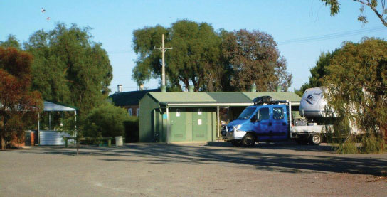
At Brinkworth
In the middle of town via East Tce. Powered sites available.
| GPS: S33 41.552 E138 24.328 | MAP: J5 |
120 ROCHESTER REST AREA
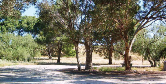

17km S of Yacka (R) or 22km N of Clare (L)
Just off the highway among a few trees.
| GPS: S33 41.711 E138 29.129 | MAP: J5 |
121 CLARE PARK AREA
At Clare
On the north side of town via Pioneer Ave.
| GPS: S33 49.761 E138 36.594 | MAP: J6 |
122 RHYNIE REST AREA
At Rhynie
Just off the highway. On the south side of town.
| GPS: S34 08.921 E138 41.379 | MAP: B1, J7 |
123 TARLEE PARK AREA
At Tarlee
Adjacent to the highway. In the middle of town.
| GPS: S34 16.471 E138 46.258 | MAP: C1, J7 |
Traveller’s Tip
REGULAR REST BREAKS are essential on long drives. A five-minute stop every two hours is the minimum requirement to stay alert at the wheel: walk around, stretch your legs and breathe in the fresh air.