
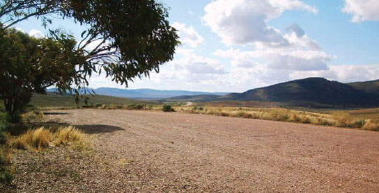
124 WOOLSHED FLAT REST AREA 


16km N of Stirling North (L) or 17km S of Quorn (R)
Just off the road among a few trees.
| GPS: S32 27.783 E137 58.147 | MAP: I2, G9 |
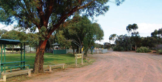
125 QUORN PARK AREA


At Quorn
Adjacent to the old railway station in the main street.
| GPS: S32 20.765 E138 02.355 | MAP: I1, H9 |
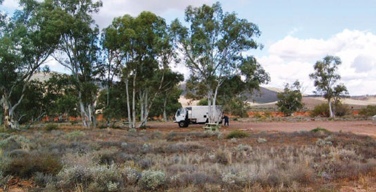
126 WARREN GORGE CAMPING AREA

T/O at Quorn
In Warren Gorge Reserve, 20km (unsealed) north-west of Quorn via Arden Vale Rd.
| GPS: S32 11.224 E138 00.816 | MAP: I1, H8 |
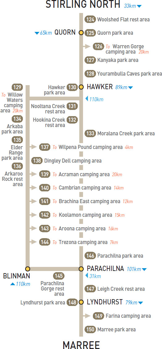
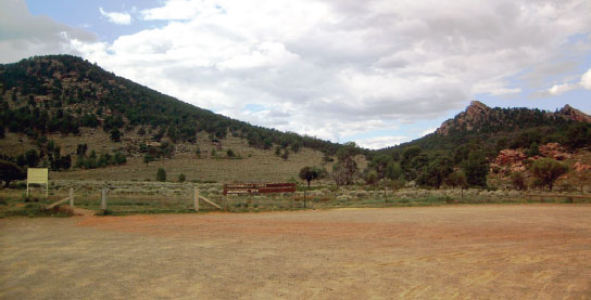
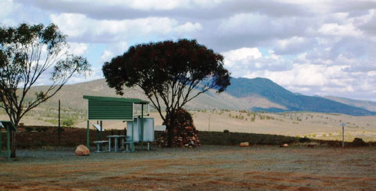
127 KANYAKA PARK AREA
40km NE of Quorn (L) or 25km SW of Hawker (R)
Well off the highway at the ruins of an old homestead.
| GPS: S32 04.334 E138 17.982 | MAP: J1, H8 |
128 YOURAMBULLA CAVES PARK AREA
55km N of Quorn (L) or 10km S of Hawker (R)
Well off the highway near the caves.
| GPS: S31 57.455 E138 22.534 | MAP: H8 |
129 WILLOW WATERS CAMPING AREA


T/O at Hawker
Secluded site among a few trees along a creek bed. Located 20km (unsealed) east of Hawker via Craddock and Willow Waters rds.
| GPS: S31 53.732 E138 37.763 | MAP: I8 |
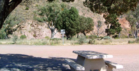
130 HAWKER PARK AREA

At Hawker
Just off the highway and opposite the hotel.
| GPS: S31 53.221 E138 25.230 | MAP: H8 |
131 NOOLTANA CREEK REST AREA
10km N of Hawker (R) or 79km S of Parachilna (L)
Just off the highway with good views over the surrounding countryside.
| GPS: S31 48.543 E138 22.003 | MAP: H7 |
132 HOOKINA CREEK REST AREA
17km N of Hawker (R) or 72km S of Parachilna (L)
Well off the highway among a few trees.
| GPS: S31 45.520 E138 19.989 | MAP: H7 |
133 MORALANA CREEK PARK AREA
42km N of Hawker (L) or 47km S of Parachilna (R)
Just off the highway with good views over the surrounding countryside.
| GPS: S31 33.333 E138 25.602 | MAP: H7 |
134 ARKABA PARK AREA
22km N of Hawker (L) or 88km S of Blinman (R)
Just off the highway with good views over the surrounding countryside.
| GPS: S31 43.579 E138 31.194 | MAP: I7 |
135 ELDER RANGE PARK AREA
24km N of Hawker (R) or 86km S of Blinman (L)
Just off the highway with good views over the surrounding countryside.
| GPS: S31 43.007 E138 32.428 | MAP: I7 |
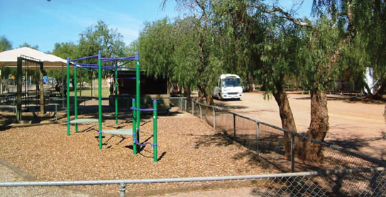
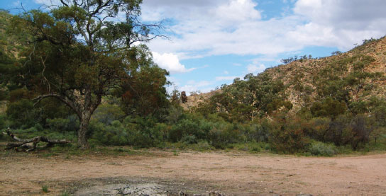
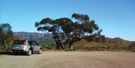
136 ARKAROO ROCK REST AREA
T/O 40km N of Hawker (L) or 70km S of Blinman (R)
Secluded bush setting at the base of the rock. Located 2km (unsealed) west of Wilpena Rd.
| GPS: S31 36.675 E138 38.295 | MAP: I7 |
137 WILPENA POUND CAMPING AREA


At Wilpena
Main camping area in Flinders Ranges National Park.
| GPS: S31 31.621 E138 36.406 | MAP: I6 |
138 DINGLEY DELL CAMPING AREA
78km N of Hawker (L) or 32km S of Blinman (R)
Just off Blinman Rd in Flinders Ranges National Park.
| GPS: S31 21.343 E138 42.368 | MAP: I6 |
139 ACRAMAN CAMPING AREA
T/O 83km N of Hawker (L) or 27km S of Blinman (R)
Secluded bush setting in Flinders Ranges National Park. Located 11km (unsealed) west of Wilpena Rd via Brachina Gorge Rd then 9km (unsealed) south via Bunyeroo Valley Rd.
| GPS: S31 24.576 E138 33.670 | MAP: I6 |
140 CAMBRIAN CAMPING AREA
T/O 83km N of Hawker (L) or 27km S of Blinman (R)
Secluded bush setting in Flinders Ranges National Park. Located 11km (unsealed) west of Wilpena Rd via Brachina Gorge Rd then 3km (unsealed) south via Bunyeroo Valley Rd.
| GPS: S31 21.449 E138 34.976 | MAP: I6 |
141 BRACHINA EAST CAMPING AREA
T/O 83km N of Hawker (L) or 27km S of Blinman (R)
On the banks of a creek in Flinders Ranges National Park. Located 12km (unsealed) west of Wilpena Rd via Brachina Gorge Rd.
| GPS: S31 19.993 E138 34.812 | MAP: I6 |
142 KOOLAMON CAMPING AREA

T/O 83km N of Hawker (L) or 27km S of Blinman (R)
Near a creek in Flinders Ranges National Park. Located 10km (unsealed) west of Wilpena Rd via Brachina Gorge Rd then 5km (unsealed) north via Aroona Rd.
| GPS: S31 17.494 E138 35.258 | MAP: I6 |
143 AROONA CAMPING AREA
T/O 83km N of Hawker (L) or 27km S of Blinman (R)
Near a creek in Flinders Ranges National Park. Located 10km (unsealed) west of Wilpena Rd via Brachina Gorge Rd then 6km (unsealed) north via Aroona Rd.
| GPS: S31 16.729 E138 34.841 | MAP: I6 |
144 TREZONA CAMPING AREA
T/O 83km N of Hawker (L) or 27km S of Blinman (R)
On the banks of a creek in Flinders Ranges National Park. Located 7km (unsealed) west of Wilpena Rd via Brachina Gorge Rd.
| GPS: S31 19.862 E138 37.649 | MAP: I6 |
145 PARACHILNA GORGE REST AREA

17km W of Blinman (L) or 13km E of Parachilna (R)
Adjacent to the road and in the gorge.
| GPS: S31 08.102 E138 31.770 | MAP: I5 |
146 PARACHILNA PARK AREA
At Parachilna
Adjacent to the highway at the turn-off into town.
| GPS: S31 07.975 E138 23.795 | MAP: H5 |
147 LEIGH CREEK REST AREA
At Leigh Creek
At the turn-off into town.
| GPS: S30 35.795 E138 24.221 | MAP: H4 |
148 LYNDHURST PARK AREA
At Lyndhurst
Adjacent to the highway. In the middle of town.
| GPS: S30 17.031 E138 20.986 | MAP: H3 |
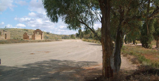
149 FARINA CAMPING AREA
T/O 53km S of Marree (R) or 27km N of Lyndhurst (L)
Among a few trees just past the deserted township 1km west of the road.
| GPS: S30 03.794 E138 16.461 | MAP: H2 |
150 MARREE PARK AREA

At Marree
Near the old railway station in the middle of town.
| GPS: S29 38.866 E138 03.872 | MAP: H1, H12 |
Traveller’s Tip
PLAN YOUR TRIP thoroughly and have a good road atlas or maps on hand. A GPS unit is very useful, especially when navigating through capital cities and major regional centres, but don’t leave it in plain view when leaving the car.