
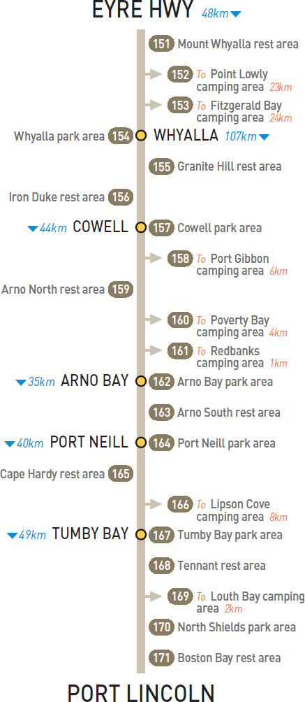
151 MOUNT WHYALLA REST AREA 


11km S of Eyre Hwy (L) or 36km N of Whyalla (R)
Just off the highway among a few trees.
| GPS: S32 43.512 E137 30.577 | MAP: H2, F10 |
152 POINT LOWLY CAMPING AREA


T/O 36km S of Eyre Hwy (L) or 11km N of Whyalla (R)
Near the foreshore 23km east of the highway via Port Bonython Rd.
| GPS: S32 59.590 E137 46.860 | MAP: H3, G11 |
153 FITZGERALD BAY CAMPING AREA
T/O 36km S of Eyre Hwy (L) or 11km N of Whyalla (R)
On the foreshore 24km (partly unsealed) east of the highway via Port Bonython and Point Douglas rds.
| GPS: S32 55.296 E137 44.951 | MAP: H3, G10 |
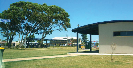
154 WHYALLA PARK AREA
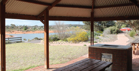


At Whyalla
Located on the south side of town via Lincoln Hwy. Overlooks wetlands.
| GPS: S33 02.373 E137 33.611 | MAP: H3, G11 |
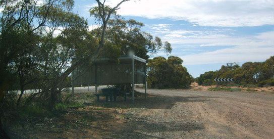
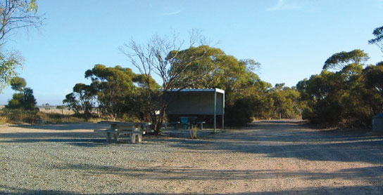
155 GRANITE HILL REST AREA
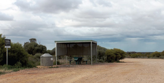
48km SW of Whyalla (L) or 59km NE of Cowell (R)
Just off the highway.
| GPS: S33 15.954 E137 12.483 | MAP: G4, F11 |
156 IRON DUKE REST AREA
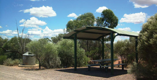
60km SW of Whyalla (R) or 47km NE of Cowell (L)
Just off the highway among a few small trees.
| GPS: S33 19.061 E137 06.634 | MAP: G4, F12 |
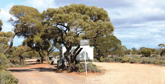
157 COWELL PARK AREA
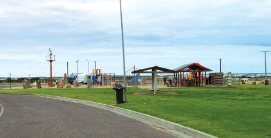

At Cowell
On the foreshore at the end of the main street through town.
| GPS: S33 41.134 E136 55.746 | MAP: G5 |
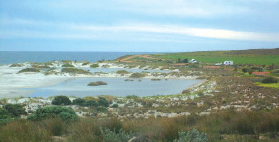
158 PORT GIBBON CAMPING AREA
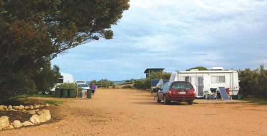


T/O 23km SW of Cowell (L) or 21km NE of Arno Bay (R)
On the foreshore 6km (unsealed) east of the highway via Port Gibbon Rd.
| GPS: S33 48.072 E136 48.089 | MAP: F6 |
159 ARNO NORTH REST AREA
28km SW of Cowell (R) or 16km NE of Arno Bay (L)
Just off the highway among a few trees.
| GPS: S33 49.688 E136 41.690 | MAP: F6 |
160 POVERTY BAY CAMPING AREA
T/O 32km SW of Cowell (L) or 8km NE of Arno Bay (R)
On the foreshore 4km (unsealed) east of the highway.
| GPS: S33 52.396 E136 40.532 | MAP: F6 |
161 REDBANKS CAMPING AREA
T/O 38km SW of Cowell (L) or 2km NE of Arno Bay (R)
On the foreshore 1km (unsealed) east of the highway.
| GPS: S33 53.616 E136 36.866 | MAP: F6 |
162 ARNO BAY PARK AREA

At Arno Bay
On the foreshore at the end of the main street through town.
| GPS: S33 54.976 E136 34.399 | MAP: F6 |
163 ARNO SOUTH REST AREA

18km SW of Arno Bay (L) or 17km NE of Port Neill (R)
Just off the highway behind a few bushes.
| GPS: S34 00.513 E136 25.013 | MAP: F6 |
164 PORT NEILL PARK AREA
At Port Neill
On the foreshore near the jetty.
| GPS: S34 07.062 E136 20.940 | MAP: E6 |
165 CAPE HARDY REST AREA
15km SW of Port Neill (R) or 25km NE of Tumby Bay (L)
Secluded area just off the highway among a few trees.
| GPS: S34 11.987 E136 13.991 | MAP: E7 |
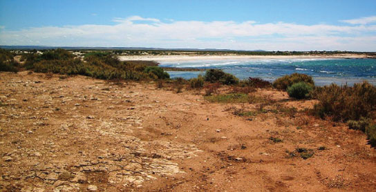
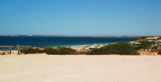
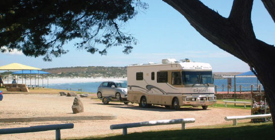
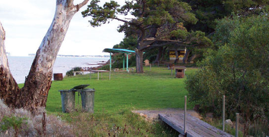
166 LIPSON COVE CAMPING AREA
T/O 23km SW of Port Neill (L) or 17km N of Tumby Bay (R)
On the foreshore with picturesque views over a bay. Located 8km (unsealed) east of the highway.
| GPS: S34 15.744 E136 15.628 | MAP: E7 |
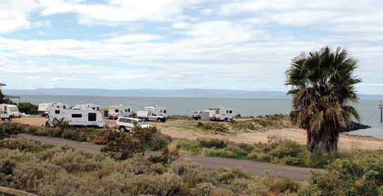
167 TUMBY BAY PARK AREA

At Tumby Bay
On the foreshore via Bratten Way.
| GPS: S34 22.612 E136 06.188 | MAP: E7 |
168 TENNANT REST AREA
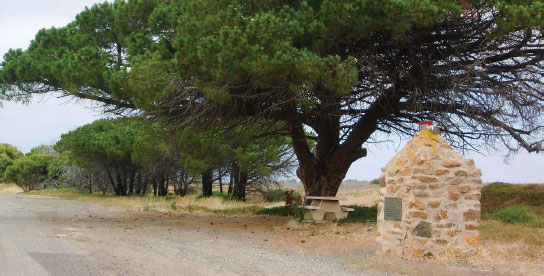
26km SW of Tumby Bay (L) or 23km NE of Port Lincoln (R)
Just off the highway among a few trees at a monument.
| GPS: S34 31.718 E135 55.186 | MAP: D8 |
169 LOUTH BAY CAMPING AREA


At Louth Bay
On the foreshore 2km east of the highway.
| GPS: S34 32.633 E135 55.917 | MAP: D8 |
170 NORTH SHIELDS PARK AREA
At North Shields
On the foreshore near the jetty.
| GPS: S34 37.681 E135 52.014 | MAP: D8 |
171 BOSTON BAY REST AREA
41km SW of Tumby Bay (L) or 4km NE of Port Lincoln (R)
Small picnic area adjacent to the highway and overlooking the bay.
| GPS: S34 40.989 E135 51.308 | MAP: D8 |