
172 SHERLOCK REST AREA 


At Sherlock
Adjacent to the highway under a couple of trees. Opposite the general store.
| GPS: S35 19.118 E139 48.076 | MAP: E4, M10 |
173 PEAKE REST AREA
At Peake
Adjacent to the highway. In the middle of town.
| GPS: S35 21.913 E139 57.025 | MAP: E4, M10 |
174 GERANIUM REST AREA

At Geranium
Adjacent to the highway opposite the turn-off into town.
| GPS: S35 22.660 E140 09.683 | MAP: F4, M10 |
175 BAAN HILL RESERVE CAMPING AREA
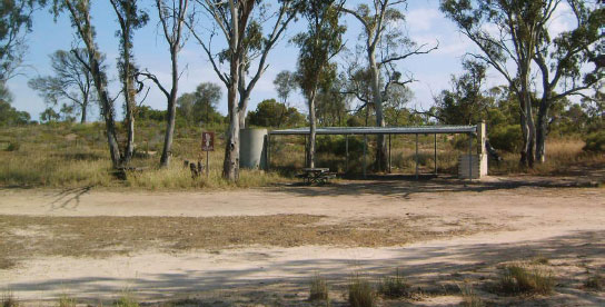


T/O 27km E of Geranium (R) or 8km W of Lameroo (L)
Secluded in scrub 17km (unsealed) south of the highway via Bews Rd.
| GPS: S35 30.022 E140 26.259 | MAP: F5, N11 |
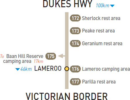
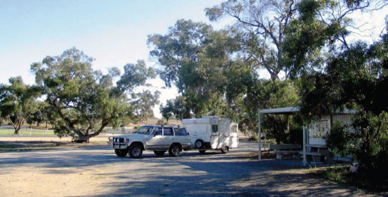
176 LAMEROO CAMPING AREA
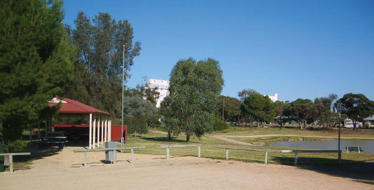


At Lameroo
Basic caravan park facilities overlooking a lake on the east side of town.
| GPS: S35 19.646 E140 31.279 | MAP: G4, N10 |
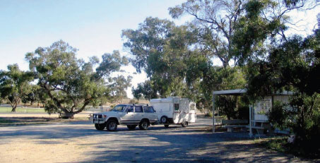
177 PARILLA REST AREA
At Parilla
Adjacent to the highway under shady trees.
| GPS: S35 17.772 E140 39.993 | MAP: G4, N10 |