
178 LOXTON CAMPING AREA 


At Loxton
Large grassed area for fully self-contained vehicles on the east side of town via Pine Ave.
| GPS: S34 27.106 E140 34.706 | MAP: G2, N8 |
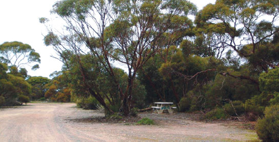
179 VEITCH REST AREA


25km S of Loxton (R) or 86km NE of Karoonda (L)
Just off the road and surrounded by trees.
| GPS: S34 38.614 E140 30.764 | MAP: G2, N8 |
180 ALAWOONA REST AREA


At Alawoona
Just off the road via Lameroo Rd.
| GPS: S34 44.189 E140 30.524 | MAP: G2, N9 |
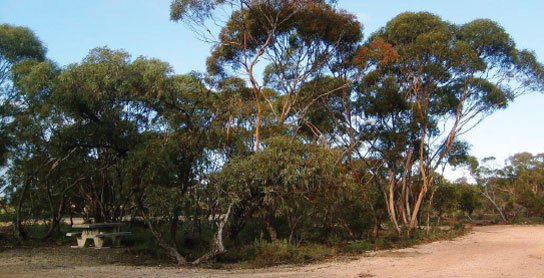
181 MINDARIE REST AREA
66km SW of Loxton (R) or 45km NE of Karoonda (L)
Just off the road among a few trees.
| GPS: S34 48.986 E140 12.847 | MAP: F3, M9 |
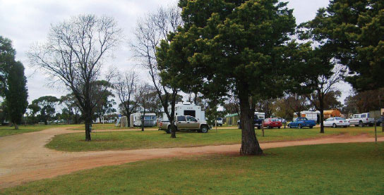
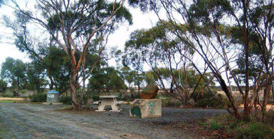
182 HALIDON REST AREA
75km SW of Loxton (R) or 36km NE of Karoonda (L)
Just off the road among a few trees.
| GPS: S34 53.020 E140 09.851 | MAP: F3, M9 |
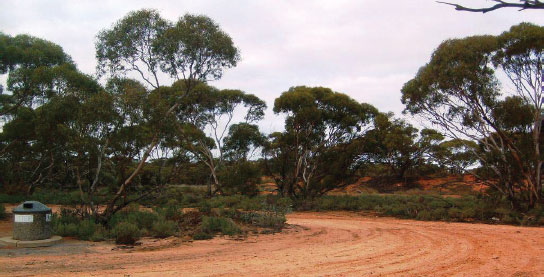
183 KAROONDA PARK AREA
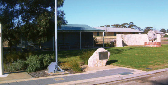

At Karoonda
Adjacent to the highway. In the middle of town.
| GPS: S35 05.664 E139 53.795 | MAP: E3, M10 |
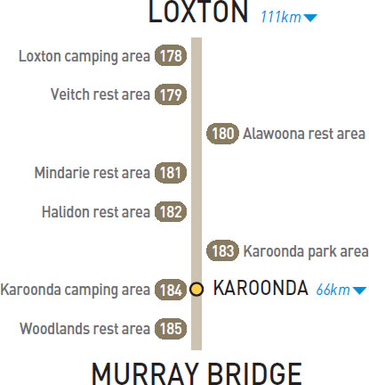
184 KAROONDA CAMPING AREA
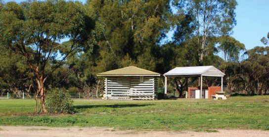


At Karoonda
Basic caravan park facilities at the south end of town.
| GPS: S35 05.752 E139 53.408 | MAP: E3, M10 |
185 WOODLANDS REST AREA
40km SW of Karoonda (R) or 26km E of Murray Bridge (L)
Secluded among trees just off the highway.
| GPS: S35 06.717 E139 30.918 | MAP: D3, L10 |