
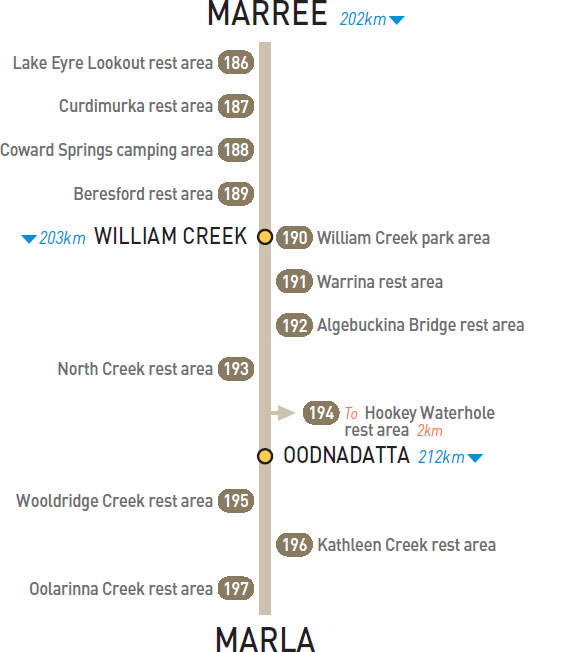
186 LAKE EYRE LOOKOUT REST AREA 


82km W of Marree (R) or 120km SE of William Creek (L)
Just off the track and overlooking Lake Eyre.
| GPS: S29 29.271 E137 10.776 | MAP: F12 |
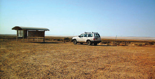
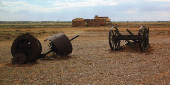
187 CURDIMURKA REST AREA
104km NW of Marree (R) or 100km SE of William Creek (L)
Just off the track around the old rail siding.
| GPS: S29 28.610 E137 05.059 | MAP: F12 |
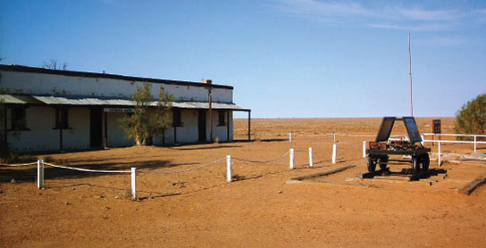
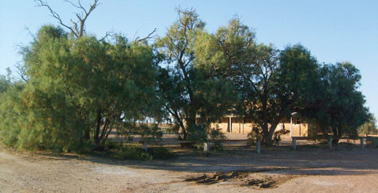
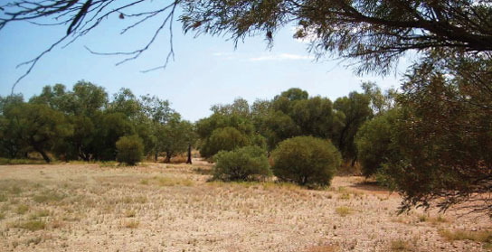
188 COWARD SPRINGS CAMPING AREA


129km NW of Marree (R) or 73km SE of William Creek (L)
Well off the track at the oasis around the springs.
| GPS: S29 24.255 E136 48.747 | MAP: E11 |
189 BERESFORD REST AREA
152km NW of Marree (R) or 50km SE of William Creek (L)
Under a few trees at the old rail siding.
| GPS: S29 14.550 E136 39.378 | MAP: E11 |
190 WILLIAM CREEK PARK AREA
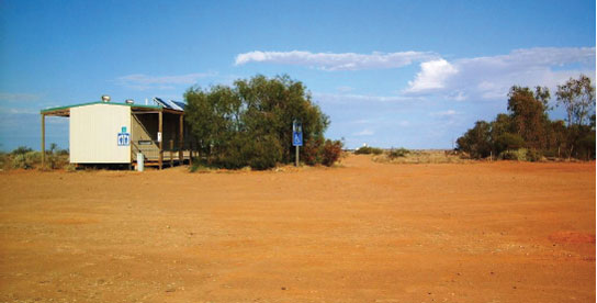


At William Creek
Opposite the hotel.
| GPS: S28 54.405 E136 20.316 | MAP: D10 |
191 WARRINA REST AREA
108km NW of William Creek (L) or 95km SE of Oodnadatta (R)
Just off the track at the old rail siding.
| GPS: S28 11.647 E135 49.717 | MAP: C8 |
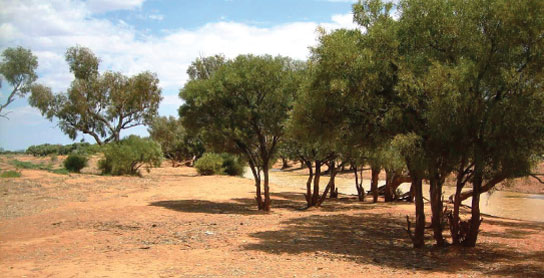
192 ALGEBUCKINA BRIDGE REST AREA
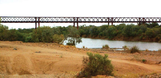
145km NW of William Creek (L) or 58km SE of Oodnadatta (R)
On the banks of Neales River.
| GPS: S27 54.141 E135 48.735 | MAP: C7 |
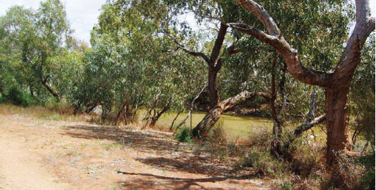
193 NORTH CREEK REST AREA
175km NW of William Creek (R) or 28km S of Oodnadatta (L)
Among trees on the banks of the creek.
| GPS: S27 44.255 E135 36.245 | MAP: B7 |
194 HOOKEY WATERHOLE REST AREA


T/O 198km NW of William Creek (L) or 5km S of Oodnadatta (R)
On the banks of the waterhole 2km south of the track via Coober Pedy Rd.
| GPS: S27 35.779 E135 26.107 | MAP: B6 |
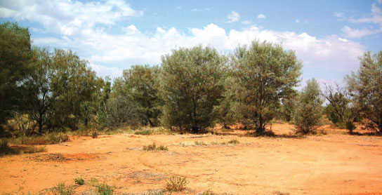
195 WOOLDRIDGE CREEK REST AREA
62km W of Oodnadatta (R) or 150km E of Marla (L)
Among a few trees on the banks of the creek.
| GPS: S27 16.896 E134 58.921 | MAP: A5, P5 |
196 KATHLEEN CREEK REST AREA
88km W of Oodnadatta (L) or 124km E of Marla (R)
Among trees on the banks of the creek.
| GPS: S27 12.323 E134 45.191 | MAP: A5, O5 |
197 OOLARINNA CREEK REST AREA
97km W of Oodnadatta (R) or 115km E of Marla (L)
Just off the track in scrub near the creek.
| GPS: S27 09.748 E134 37.181 | MAP: O5 |