
232 HAYTHORPE RESERVE CAMPING AREA 


At Mannum
On the eastern riverbank north of the ferry landing.
| GPS: S34 54.560 E139 19.372 | MAP: D3, L9 |
233 BOLTO RESERVE CAMPING AREA

At Mannum
On the eastern riverbank south of the ferry landing.
| GPS: S34 54.977 E139 18.935 | MAP: D3, L9 |
234 CAURNAMONT RIVERSIDE RESERVE CAMPING AREA

At Caurnamont
On the western riverbank next to the ferry landing.
| GPS: S34 51.274 E139 36.891 | MAP: E3, L9 |
235 CAURNAMONT NORTH CAMPING AREA
At Caurnamont
On the western riverbank 3km north of the ferry landing.
| GPS: S34 50.492 E139 35.178 | MAP: E3, L9 |
236 LAKESIDE CAMPING AREA


T/O to Purnong
On the riverbank 6km west of the highway via Caurnamont township and Craignook Rd (unsealed).
| GPS: S34 51.250 E139 36.280 | MAP: E3, L9 |
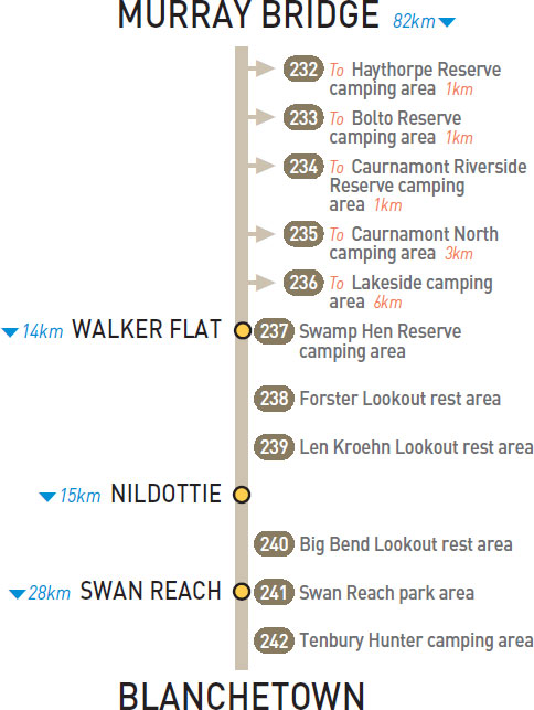
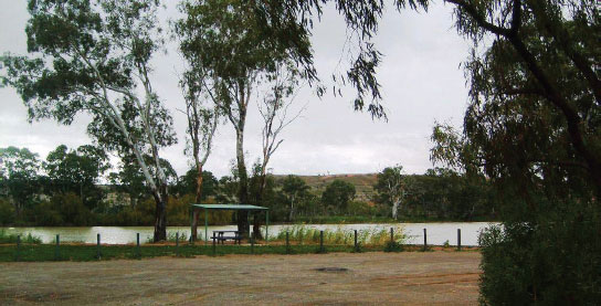
237 SWAMP HEN RESERVE CAMPING AREA


At Walker Flat
On the western riverbank at the boat ramp 700m northwest of the ferry landing.
| GPS: S34 45.125 E139 33.659 | MAP: D2, L8 |
238 FORSTER LOOKOUT REST AREA
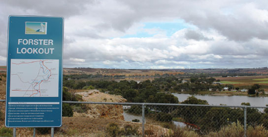

At Walker Flat
Just off the road and overlooking the township and river.
| GPS: S34 45.306 E139 34.317 | MAP: D2, L9 |
239 LEN KROEHN LOOKOUT REST AREA
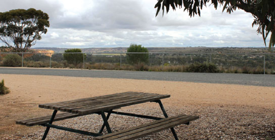

6km N of Walker Flat (L) or 7km SW of Nildottie (R)
Just off the road and overlooking a river.
| GPS: S34 42.202 E139 35.278 | MAP: E2, L8 |
240 BIG BEND LOOKOUT REST AREA
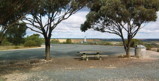
5km N of Nildottie (L) or 10km SE of Swan Reach (R)
Just off the road and overlooking a river.
| GPS: S34 37.929 E139 39.955 | MAP: E2, L8 |
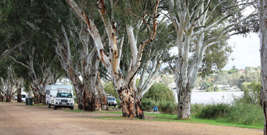
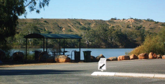
241 SWAN REACH PARK AREA
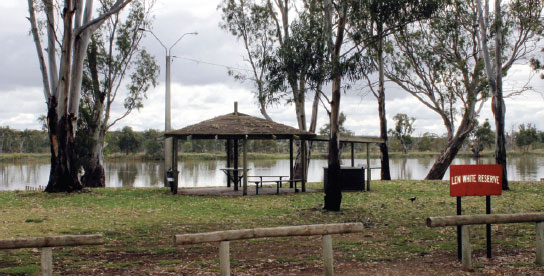


At Swan Reach
On the riverbank adjacent to the ferry landing at Len White Reserve.
| GPS: S34 34.029 E139 35.700 | MAP: E2, L8 |
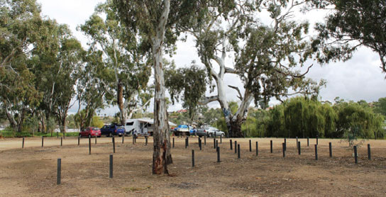
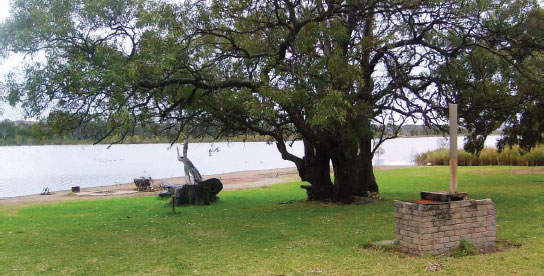
242 TENBURY HUNTER CAMPING AREA
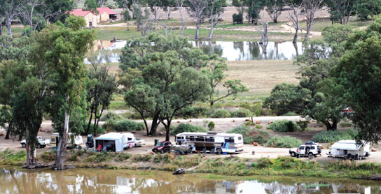
At Swan Reach
On the northern riverbank 500m east of the ferry landing.
| GPS: S34 33.694 E139 36.039 | MAP: E2, L8 |
Traveller’s Tip
ALWAYS CARRY A supply of tinned and long-life packaged foods. When you find one of those idyllic, out-of-the-way campsites, you will be able to stay for a while without the need to find a store for essential supplies.