
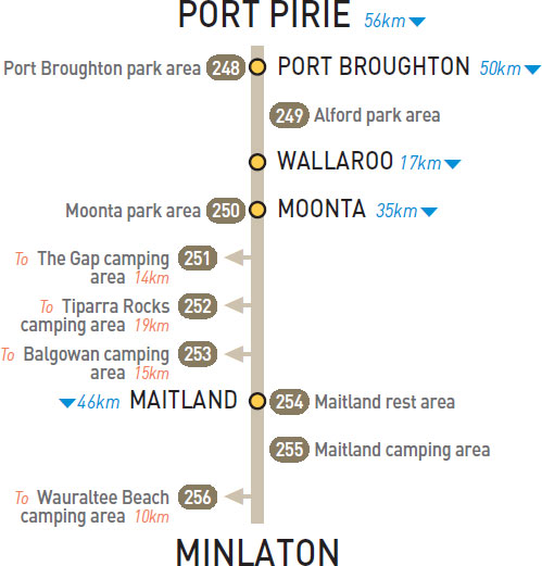
248 PORT BROUGHTON PARK AREA 


At Port Broughton
On the foreshore via Bay St.
| GPS: S33 36.037 E137 55.795 | MAP: I5, G12 |
249 ALFORD PARK AREA

At Alford
Just off the highway at the old school site.
| GPS: S33 49.015 E137 49.309 | MAP: I6 |
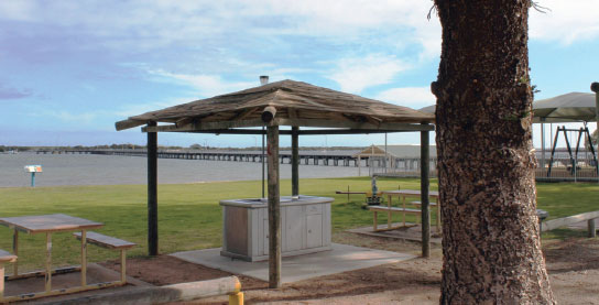
250 MOONTA PARK AREA

At Moonta
On Bay Rd on the west side of town.
| GPS: S34 03.828 E137 35.041 | MAP: H6 |
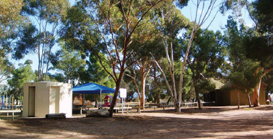
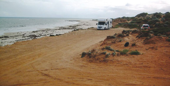
251 THE GAP CAMPING AREA


T/O 21km S of Moonta (R) or14km N of Maitland (L)
Behind sand dunes on the foreshore 14km (unsealed) west of the highway via Gap Rd.
| GPS: S34 14.028 E137 30.165 | MAP: H7 |
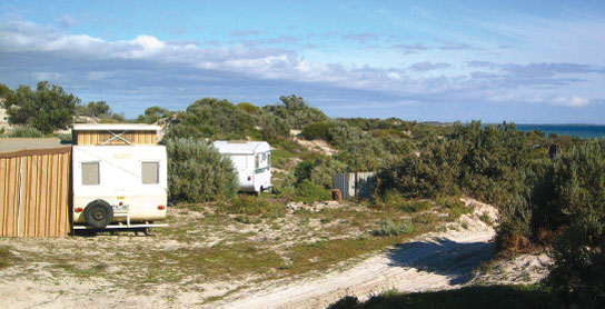
252 TIPARRA ROCKS CAMPING AREA
T/O to Balgowan
On the foreshore 4km (unsealed) north of Balgowan.
| GPS: S34 17.136 E137 29.935 | MAP: H7 |
253 BALGOWAN CAMPING AREA
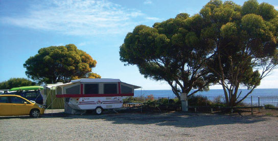


At Balgowan
On the foreshore and next to the general store with basic caravan park facilities.
| GPS: S34 19.446 E137 29.666 | MAP: H7 |
254 MAITLAND REST AREA
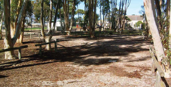

At Maitland
Under shady trees opposite the hospital.
| GPS: S34 22.234 E137 40.495 | MAP: H7 |
255 MAITLAND CAMPING AREA
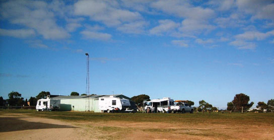

At Maitland
Basic caravan park facilities at the showgrounds via Rogers Tce.
| GPS: S34 22.325 E137 40.637 | MAP: H7 |
256 WAURALTEE BEACH CAMPING AREA
T/O 30km S of Maitland (R) or 16km N of Minlaton (L)
In the dunes on the foreshore 10km west of the highway via Mount Rat Rd.
| GPS: S34 35.266 E137 30.478 | MAP: H8 |