
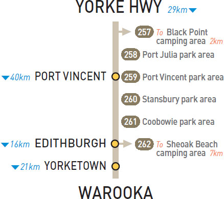
257 BLACK POINT CAMPING AREA 


T/O to Black Point
On the foreshore 2km east of the highway via Black Point Rd.
| GPS: S34 36.421 E137 52.921 | MAP: A2, I8 |
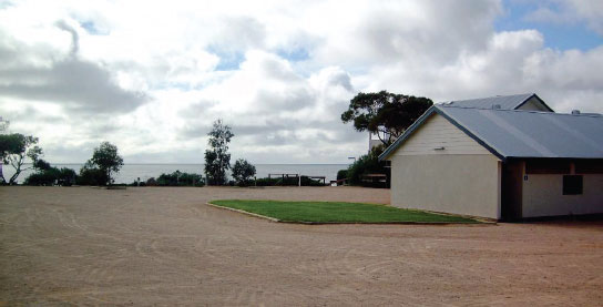
258 PORT JULIA PARK AREA


At Port Julia
On the foreshore adjacent to the old jetty.
| GPS: S34 39.886 E137 52.739 | MAP: A2, I8 |
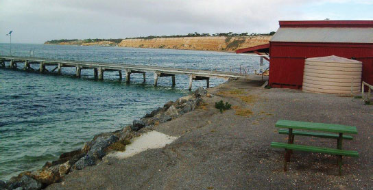
259 PORT VINCENT PARK AREA


At Port Vincent
On the foreshore via Marine Pde.
| GPS: S34 46.622 E137 51.648 | MAP: A2, I8 |
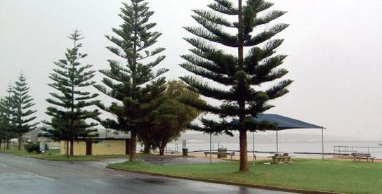
260 STANSBURY PARK AREA
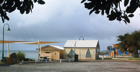

At Stansbury
On the foreshore opposite the hotel in the middle of town.
| GPS: S34 54.576 E137 47.940 | MAP: H9 |
261 COOBOWIE PARK AREA
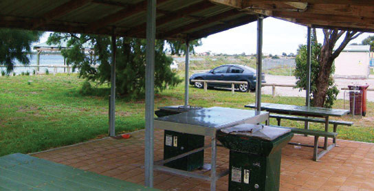
At Coobowie
Overlooking the foreshore via Beach Rd.
| GPS: S35 02.675 E137 43.895 | MAP: H9 |
262 SHEOAK BEACH CAMPING AREA

T/O at Edithburgh
Behind sand dunes 7km (partly unsealed) south-west of Edithburgh via Sultana Dr and Troubridge Scenic Dr.
| GPS: S35 08.330 E137 42.150 | MAP: H10 |