
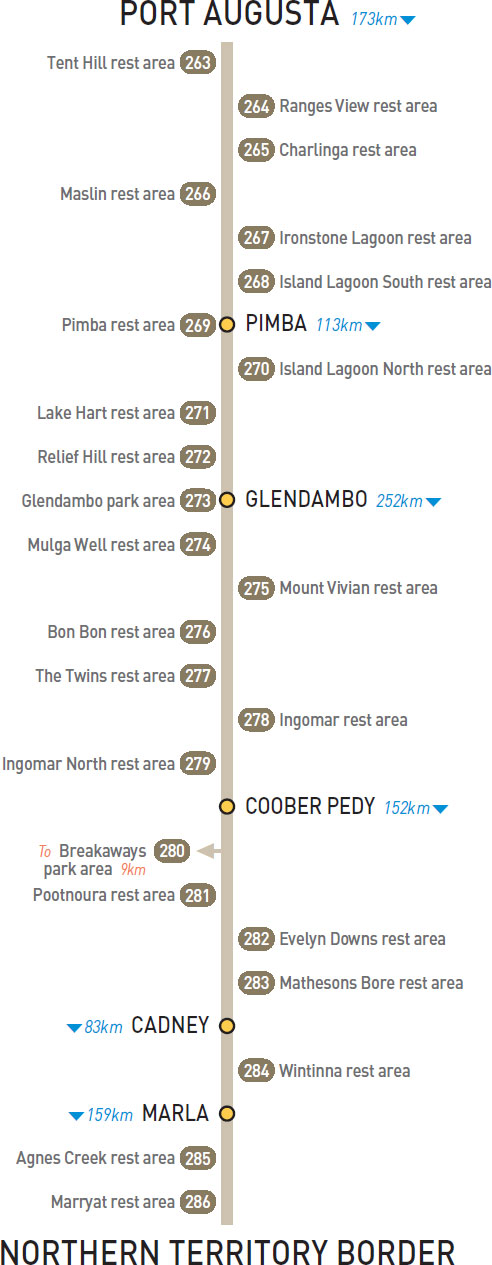
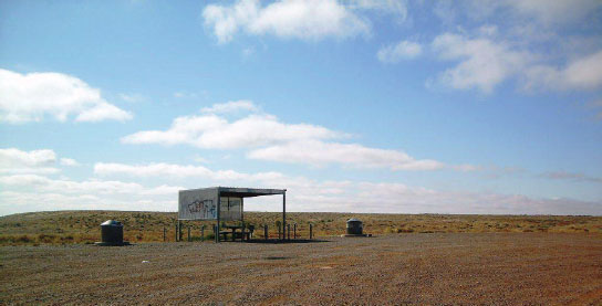
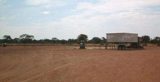
263 TENT HILL REST AREA 


36km N of Port Augusta (R) or 137km S of Pimba (L)
Just off the highway and surrounded by scrub.
| GPS: S32 14.531 E137 32.759 | MAP: H1, G8 |
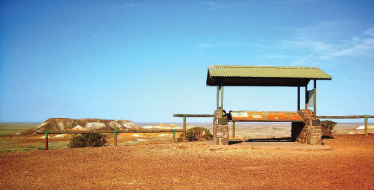
264 RANGES VIEW REST AREA


62km N of Port Augusta (L) or 111km S of Pimba (R)
Just off the highway with good views over the surrounding countryside.
| GPS: S32 02.035 E137 26.705 | MAP: F8 |
265 CHARLINGA REST AREA
82km N of Port Augusta (L) or 91km S of Pimba (R)
Just off the highway among a couple of trees.
| GPS: S31 52.526 E137 20.883 | MAP: F7 |
266 MASLIN REST AREA

95km N of Port Augusta (R) or 78km S of Pimba (L)
Just off the highway among a couple of trees.
| GPS: S31 46.457 E137 17.401 | MAP: F7 |
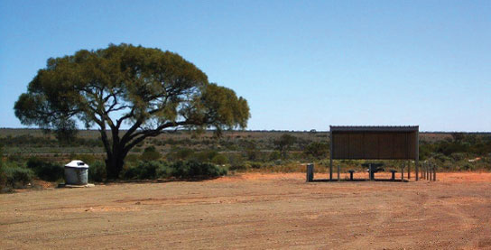
267 IRONSTONE LAGOON REST AREA
103km N of Port Augusta (L) or 70km S of Pimba (R)
Just off the highway among a couple of trees.
| GPS: S31 43.149 E137 13.867 | MAP: F7 |
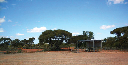
268 ISLAND LAGOON SOUTH REST AREA
155km N of Port Augusta (L) or 18km S of Pimba (R)
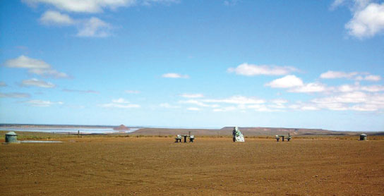
Well off the highway with good views over the surrounding countryside.
| GPS: S31 22.774 E136 55.411 | MAP: E6 |
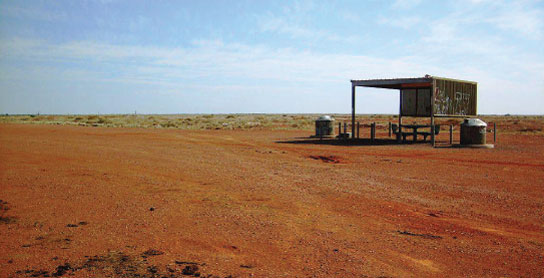
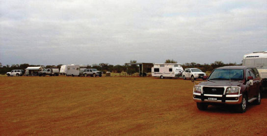
269 PIMBA REST AREA
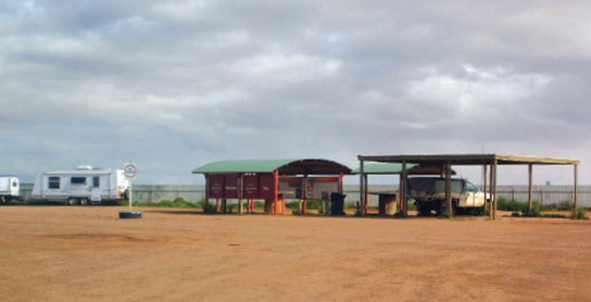

At Pimba
Adjacent to the roadhouse.
| GPS: S31 15.347 E136 48.236 | MAP: E6 |
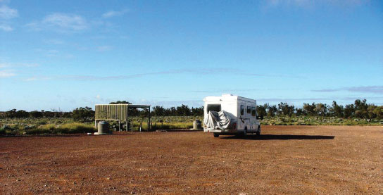
270 ISLAND LAGOON NORTH REST AREA
20km NW of Pimba (L) or 93km SE of Glendambo (R)
Just off the highway with good views over the surrounding countryside.
| GPS: S31 15.831 E136 35.945 | MAP: E6 |
271 LAKE HART REST AREA
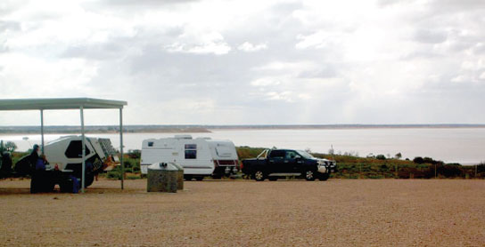
40km NW of Pimba (R) or 73km SE of Glendambo (L)
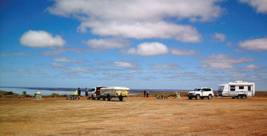
Well off the highway and overlooking the lake.
| GPS: S31 14.020 E136 24.309 | MAP: D6 |
272 RELIEF HILL REST AREA
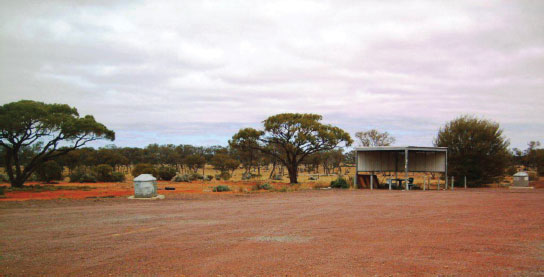
88km NW of Pimba (R) or 25km SE of Glendambo (L)
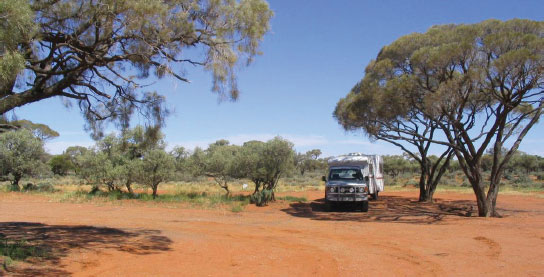
Just off the highway and surrounded by scrub.
| GPS: S31 07.152 E135 55.642 | MAP: C5 |
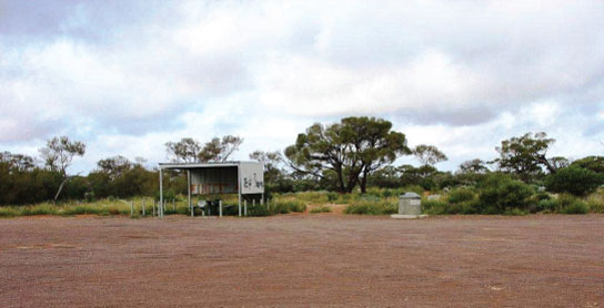
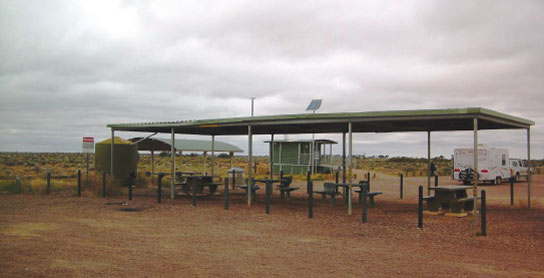
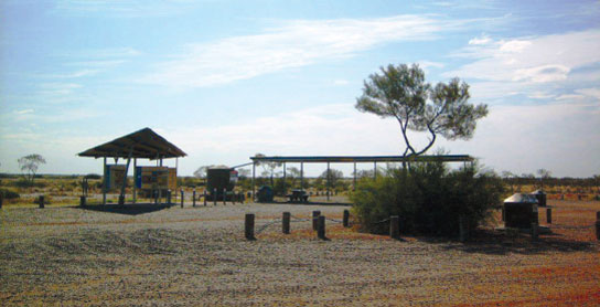
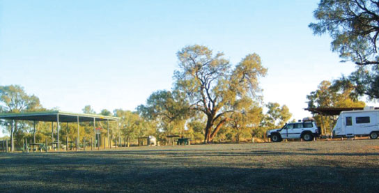
273 GLENDAMBO PARK AREA

At Glendambo
At the south end of town via the service road.
| GPS: S30 58.321 E135 45.083 | MAP: C5 |
274 MULGA WELL REST AREA
28km N of Glendambo (R) or 224km S of Coober Pedy (L)
Just off the highway.
| GPS: S30 48.596 E135 32.566 | MAP: B4 |
275 MOUNT VIVIAN REST AREA
64km N of Glendambo (L) or 188km S of Coober Pedy (R)
Just off the highway and surrounded by scrub.
| GPS: S30 32.002 E135 21.572 | MAP: B3 |
276 BON BON REST AREA


85km N of Glendambo (R) or 167km S of Coober Pedy (L)
Just off the highway. Emergency phone only.
| GPS: S30 21.311 E135 19.661 | MAP: B3, P3 |
277 THE TWINS REST AREA
125km N of Glendambo (R) or 127km S of Coober Pedy (L)
Just off the highway and surrounded by scrub.
| GPS: S33 13.285 E138 06.326 | MAP: A2, P2 |
278 INGOMAR REST AREA
161km N of Glendambo (L) or 91km S of Coober Pedy (R)
Just off the highway with good views over the surrounding countryside. Emergency phone only.
| GPS: S29 42.739 E135 07.699 | MAP: A1, A12, P12, P1 |
279 INGOMAR NORTH REST AREA
206km N of Glendambo (R) or 46km S of Coober Pedy (L)
Just off the highway.
| GPS: S29 21.011 E134 59.209 | MAP: A11, P11 |
280 BREAKAWAYS PARK AREA
T/O 23km N of Coober Pedy (R) or 129km S of Cadney (L)
At a lookout 9km (unsealed) east of the highway.
| GPS: S28 50.763 E134 42.529 | MAP: O10 |
281 POOTNOURA REST AREA
76km N of Coober Pedy (R) or 76km S of Cadney (L)
Just off the highway. Emergency phone only.
| GPS: S28 33.326 E134 15.317 | MAP: N9 |
282 EVELYN DOWNS REST AREA
93km N of Coober Pedy (L) or 59km S of Cadney (R)
Just off the highway.
| GPS: S28 25.499 E134 11.138 | MAP: N9 |
283 MATHESONS BORE REST AREA
111km N of Coober Pedy (L) or 41km S of Cadney (R)
Secluded in the scrub well off the highway.
| GPS: S28 15.486 E134 09.258 | MAP: N8 |
284 WINTINNA REST AREA
48km NW of Cadney (L) or 35km SE of Marla (R)
Just off the highway.
| GPS: S27 33.313 E133 49.187 | MAP: M6 |
285 AGNES CREEK REST AREA
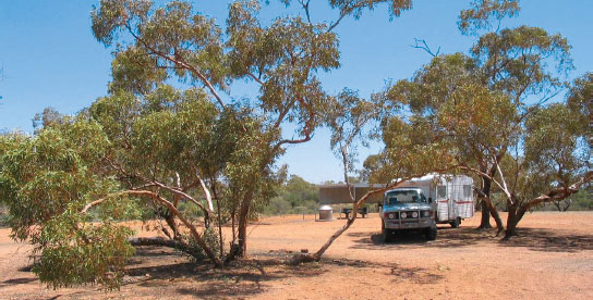
85km N of Marla (R) or 94km S of Kulgera (L)
Just off the highway among a few trees.
| GPS: S26 38.180 E133 16.724 | MAP: L3 |
286 MARRYAT REST AREA
120km N of Marla (R) or 59km S of Kulgera (L)
Just off the highway among a few trees. Emergency phone only.
| GPS: S26 20.526 E133 12.065 | MAP: L3 |