
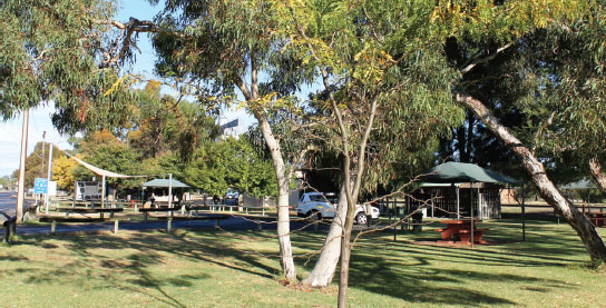
19 COOMANDOOK PARK AREA 


At Coomandook
Adjacent to the highway. In the middle of town.
| GPS: S35 28.267 E139 41.817 | MAP: E4, L11 |
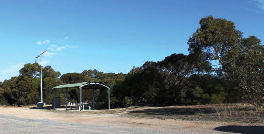
20 PINNUM REST AREA

10km NW of Coonalpyn (L)
Sheltered among trees just off the highway. For northbound only.
| GPS: S35 36.500 E139 48.700 | MAP: E5, M11 |
21 COONALPYN PARK AREA


At Coonalpyn
Adjacent to the highway. In the middle of town.
| GPS: S35 41.800 E139 51.450 | MAP: E5, M11 |
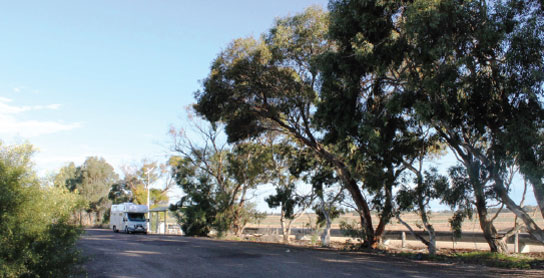
22 CULBURRA REST AREA
13km NW of Tintinara (L)
Secluded among trees well off the highway. For northbound only.
| GPS: S35 47.833 E139 56.783 | MAP: E5, M12 |
23 TINTINARA PARK AREA
At Tintinara
Adjacent to the highway. At the south end of town.
| GPS: S35 53.083 E140 03.417 | MAP: E6, M12 |
24 RICES CREEK REST AREA
29km NW of Keith (L)
Just off the highway among some trees. For northbound only.
| GPS: S35 56.281 E140 07.464 | MAP: F6, M12 |
25 BANEALLA REST AREA
13km NW of Keith (L)
Just off the highway among a few trees. For northbound only.
| GPS: S36 00.152 E140 16.070 | MAP: F6, M12 |
26 KEITH PARK AREA
At Keith
On the north side of town on the service road.
| GPS: S36 05.758 E140 21.172 | MAP: F6 |
27 BRIMBAGO REST AREA
15km SE of Keith (L)
Secluded among trees well off the highway. For eastbound only.
| GPS: S36 10.325 E140 29.098 | MAP: F7 |
28 BORDERTOWN PARK AREA
At Bordertown
Off the highway on the main road through town at Tolmer Park.
| GPS: S36 18.500 E140 46.517 | MAP: G7 |
29 CREEKANCOONA REST AREA
3km E of Bordertown (L) or 15km W of Victoria border (L)
Just off the highway among a few trees. On both sides of the road.
| GPS: S36 18.810 E140 48.042 | MAP: G7 |