
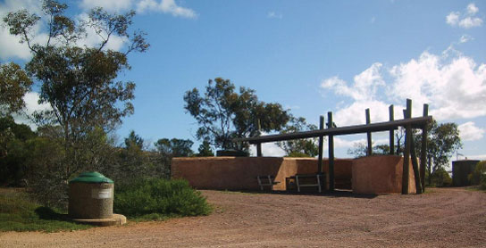
30 BORDER EAST REST AREA 


9km E of Border Village (R) or 176km W of Nullarbor (L)
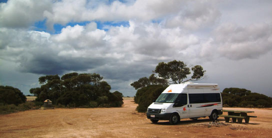
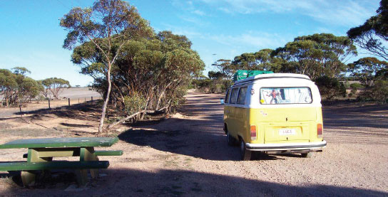
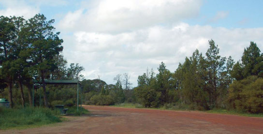
Secluded area in the scrub.
| GPS: S31 38.887 E129 06.487 | MAP: C7 |
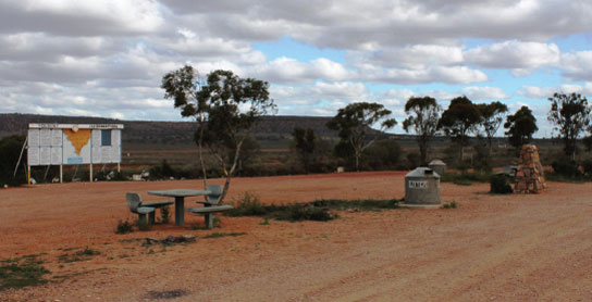
31 SCENIC LOOKOUT NO. 1 REST AREA

13km E of Border Village (R) or 172km W of Nullarbor (L)
Just off the highway at the lookout.
| GPS: S31 39.565 E129 07.903 | MAP: C7 |
32 SCENIC LOOKOUT NO. 2 REST AREA
17km E of Border Village (R) or 168km W of Nullarbor (L)
Just off the highway at the lookout.
| GPS: S31 39.454 E129 10.068 | MAP: C7 |
33 SCENIC LOOKOUT NO. 3 REST AREA
75km E of Border Village (R) or 110km W of Nullarbor (L)
Just off the highway at the lookout.
| GPS: S31 36.380 E129 46.620 | MAP: D7 |
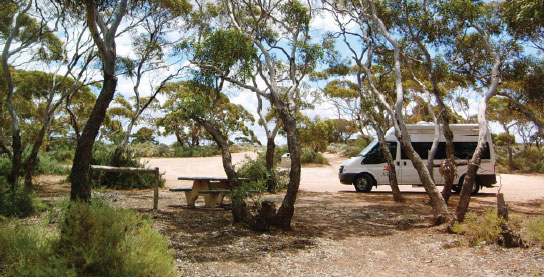
34 KOONALDA REST AREA

85km E of Border Village (R) or 100km W of Nullarbor (L)
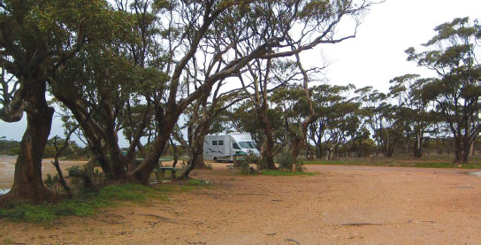
Secluded in the bush just off the highway.
| GPS: S31 34.799 E129 52.501 | MAP: E7 |
35 SCENIC LOOKOUT NO. 4 REST AREA

108km E of Border Village (R) or 77km W of Nullarbor (L)
Just off the highway at the lookout.
| GPS: S31 34.665 E130 08.757 | MAP: F7 |
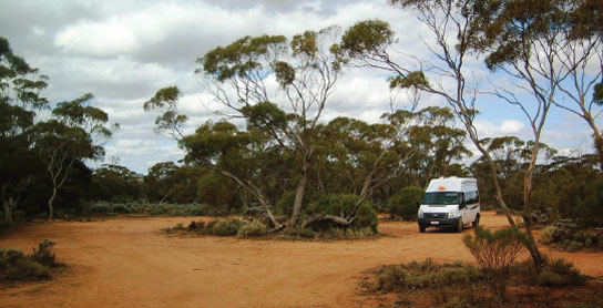
36 NULLARBOR WEST NO. 1 REST AREA
157km E of Border Village (L) or 28km W of Nullarbor (R)
Secluded in scrub well off the highway.
| GPS: S31 33.049 E130 37.059 | MAP: F7 |
37 NULLARBOR WEST NO. 2 REST AREA
164km E of Border Village (R) or 21km W of Nullarbor (L)
Just off the highway among a few small trees.
| GPS: S31 32.038 E130 41.571 | MAP: F7 |
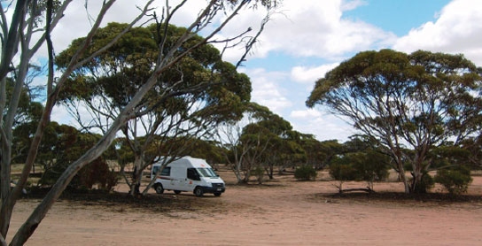
38 NULLARBOR EAST REST AREA
36km E of Nullarbor (R) or 108km W of Nundroo (L)
Secluded among a few trees just off the highway.
| GPS: S31 21.921 E131 15.995 | MAP: H6 |
39 YALATA WEST REST AREA
71km E of Nullarbor (L) or 73km W of Nundroo (R)
Just off the highway in the scrub.
| GPS: S31 24.640 E131 36.871 | MAP: H6 |
40 YALATA EAST REST AREA

97km E of Nullarbor (L) or 47km W of Nundroo (R)
Just off the highway in the scrub.
| GPS: S31 30.909 E131 51.649 | MAP: I6 |
41 COLONA REST AREA
116km E of Nullarbor (L) or 28km W of Nundroo (R)
Secluded in scrub just off the highway.
| GPS: S31 36.334 E132 02.178 | MAP: I7 |
42 KIDNIPPY REST AREA
125km E of Nullarbor (R) or 19km W of Nundroo (L)
In scrub behind the parking bay.
| GPS: S31 39.616 E132 05.709 | MAP: I7 |
43 NALLANIPPI REST AREA
138km E of Nullarbor (R) or 6km W of Nundroo (L)
Secluded in scrub just off the highway.
| GPS: S31 45.195 E132 11.081 | MAP: J7 |
44 NUNDROO EAST REST AREA
12km E of Nundroo (L) or 68km W of Penong (R)
Just off the highway in the scrub.
| GPS: S31 49.613 E132 18.865 | MAP: J7 |
45 FOWLERS BAY ROAD REST AREA
31km E of Nundroo (R) or 49km W of Penong (L)
Secluded in scrub just off the highway.
| GPS: S31 49.620 E132 32.189 | MAP: J7 |
46 COHEN REST AREA
65km E of Nundroo (L) or 15km W of Penong (R)
Just off the highway among a few trees.
| GPS: S31 51.672 E132 51.763 | MAP: K7 |
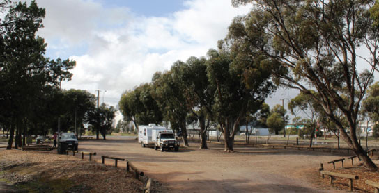
47 PENONG PARK AREA


At Penong
Just off the highway. On the west side of town.
| GPS: S31 55.674 E133 00.494 | MAP: K8 |
48 WATRABA REST AREA
25km E of Penong (L) or 47km W of Ceduna (R)
Just off the highway among a few trees.
| GPS: S31 56.463 E133 16.456 | MAP: L8 |
49 PUNTABIE REST AREA
45km E of Ceduna (R) or 48km W of Wirrulla (L)
Secluded in scrub just off the highway.
| GPS: S32 12.611 E134 07.837 | MAP: A1, N8 |
50 PERLUBIE REST AREA
80km E of Ceduna (R) or 13km W of Wirrulla (L)
Just off the highway among a few trees.
| GPS: S32 24.792 E134 24.120 | MAP: A1, N9 |
51 CUNGENA WEST REST AREA
23km E of Wirrulla (R) or 24km W of Poochera (L)
Just off the highway among a few trees.
| GPS: S32 33.475 E134 40.671 | MAP: B2, O9 |
52 POOCHERA REST AREA
At Poochera
Well off the highway among trees on the west side of town.
| GPS: S32 43.296 E134 50.060 | MAP: B2, A10, O10 |
53 MINNIPA REST AREA

At Minnipa
Just off the highway among a few trees.
| GPS: S32 51.261 E135 09.050 | MAP: C3, A10, P10 |
54 PILDAPPA ROCK CAMPING AREA
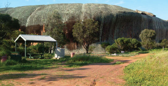
T/O at Minnipa
At the base of the rock 15km (partly unsealed) north of Minnipa via Pildappa Rd.
| GPS: S32 45.000 E135 13.651 | MAP: C2, B10, P10 |
55 TCHARKULDA ROCK CAMPING AREA
T/O at Minnipa
At the base of the rock 4km (partly unsealed) east of Minnipa via Bockelberg Rd.
| GPS: S32 50.763 E135 11.963 | MAP: C3, A10, P10 |
56 WUDINNA PARK AREA
At Wudinna
Adjacent to the highway. On the west side of town.
| GPS: S33 02.784 E135 27.452 | MAP: C3, B11 |
57 POLDA ROCK PARK AREA
T/O at Wudinna
At the base of the rock 8km (partly unsealed) north-east of Wudinna.
| GPS: S33 01.259 E135 31.988 | MAP: D3, B11 |
58 MOUNT WUDINNA PARK AREA

T/O at Wudinna
In the bush at the base of Mt Wudinna. Located 13km (partly unsealed) north-east of Wudinna.
| GPS: S32 58.992 E135 32.774 | MAP: D3, B11 |
59 KYANCUTTA REST AREA
At Kyancutta
At Polkdinney Park behind the general store.
| GPS: S33 07.997 E135 33.119 | MAP: D4, B11 |
60 GOYDERS LINE REST AREA
19km E of Kyancutta (L) or 69km W of Kimba (R)
Well off the highway among a few trees.
| GPS: S33 08.784 E135 45.355 | MAP: D4, C11 |
61 KOONGAWA REST AREA
30km E of Kyancutta (R) or 58km W of Kimba (L)
Just off the highway among a few trees.
| GPS: S33 09.586 E135 51.978 | MAP: D4, C11 |
62 MIDWAY REST AREA
44km E of Kyancutta (R) or 44km W of Kimba (L)
Just off the highway among a few trees.
| GPS: S33 11.810 E135 59.986 | MAP: E4, C11 |
63 KIMBA REST AREA

At Kimba
Adjacent to the highway. In the middle of town.
| GPS: S33 08.511 E136 25.220 | MAP: F4, D11 |
64 LAKE GILES REST AREA
36km NE of Kimba (R) or 119km SW of Port Augusta (L)
Secluded in the scrub behind the truck bay.
| GPS: S33 02.930 E136 46.167 | MAP: F3, E11 |
65 IRON KNOB CAMPING AREA
At Iron Knob
Among a few small trees on the edge of town. Donation requested.
| GPS: S32 43.937 E137 09.017 | MAP: G2, F10 |
66 INFORMATION BAY REST AREA
130km NE of Kimba (R) or 26km SW of Port Augusta (L)
Just off the highway among a few trees.
| GPS: S32 36.974 E137 34.424 | MAP: H2, G10 |