ÞINGVELLIR NATIONAL PARK
Iceland’s location on the mid-Atlantic ridge is obvious at Þingvellir (Assembly Plains), where the land has crashed in a deep scar stretching north from Lake Þingvallavatn. In AD 930, this dramatic setting was chosen by the island’s 36 chieftains as the site of their annual Alþing (General Assembly). Almost 4,000 of the country’s 60,000 inhabitants gathered here to hear laws and to settle disputes, occasionally by combat. The Alþing’s power declined after Iceland accepted Norwegian sovereignty in 1262, but the assembly continued to be held here until 1798.
NEED TO KNOW
 From Reykjavík, Golden Circle tour buses visit Þingvellir daily year-round. Some 6 and 6a buses and summer services using the Kjölur route also stop here. If driving, allow 60–90 minutes via Route 36. • Bus schedule: www.bsi.is • www.thingvellir.is/english
- From the Visitor Centre, through Almannagjá, descend to the Law Rock. Take a detour to see Peningagjá and the church, then walk up to Drekkingarhylur. In good weather, follow hiking tracks up the rift to some abandoned farms, but take care as the dense undergrowth hides deep fissures.
- The Visitor Centre at Hakið sells sandwiches, whilst the service centre sells soups and pizza.
1. Lögberg
A prominent outcrop below Almannagjá’s cliffs marks the site where the Alþing’s Lawspeaker stood and recited the country’s laws to the masses below. Look nearby for faint outlines of buðir, the tented camps used during Viking times.
2. Þingvellir Church
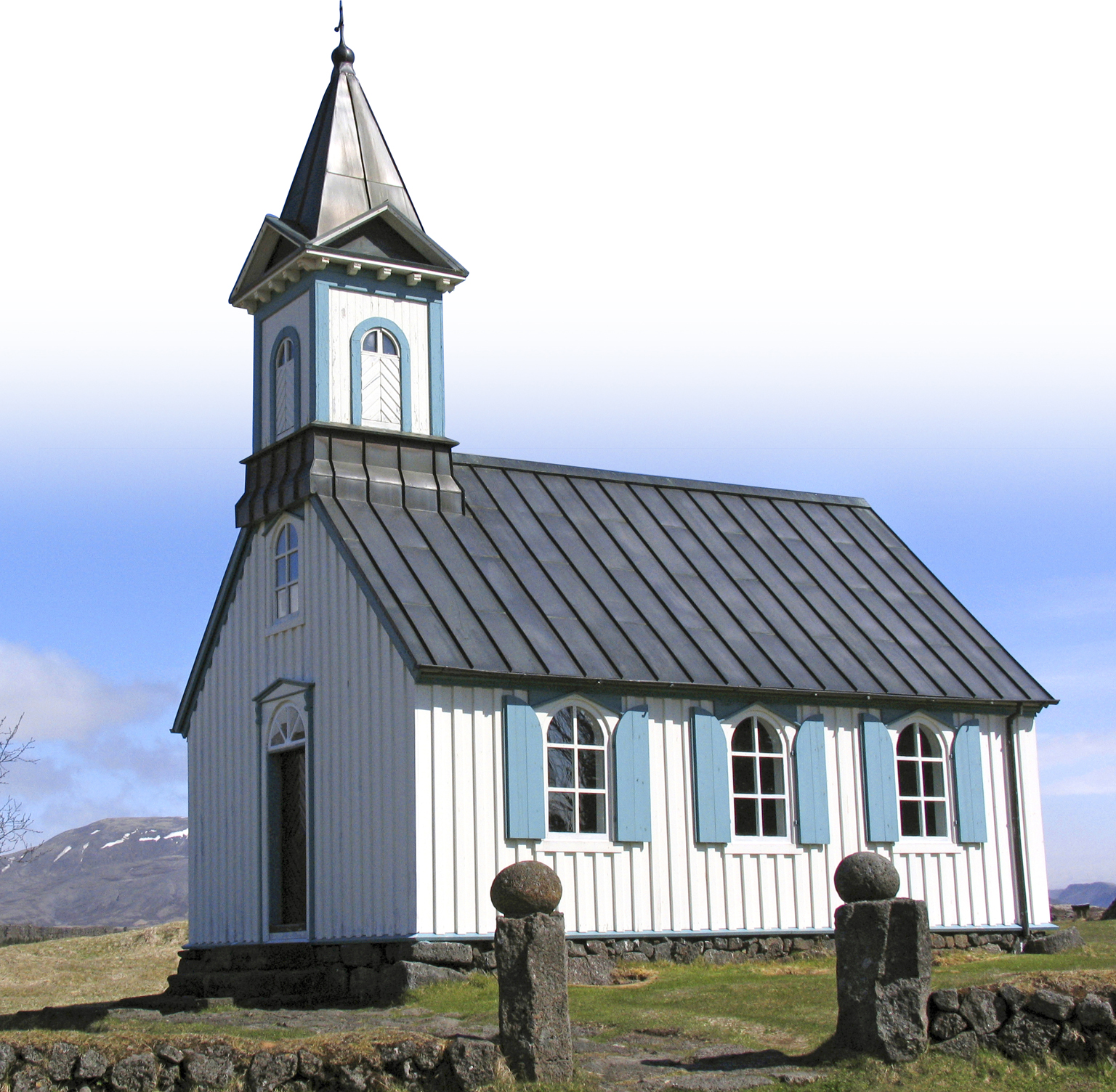
This surprisingly low-key wooden building with a black roof is a reminder of the Alþing of AD 1000, when, despite strong opposition from pagan priests, the Icelandic nation adopted Christianity as its sole religion under threat of Norwegian invasion (see AD 930: Alþing Established at Þingvellir). The church was built in 1859 but it has a pulpit that dates back to 1683.

Þingvellir Church
3. Volcanic Features
The broad, flattened dome of northerly Skjaldbreiður – an ancient shield volcano – was the source of the lava flow now covering Þingvellir’s valley. Cut by deep fissures, the lava cooled into rough a’a outcrops and pavements of smoother pahoehoe (both of which are types of lava).
4. Almannagjá
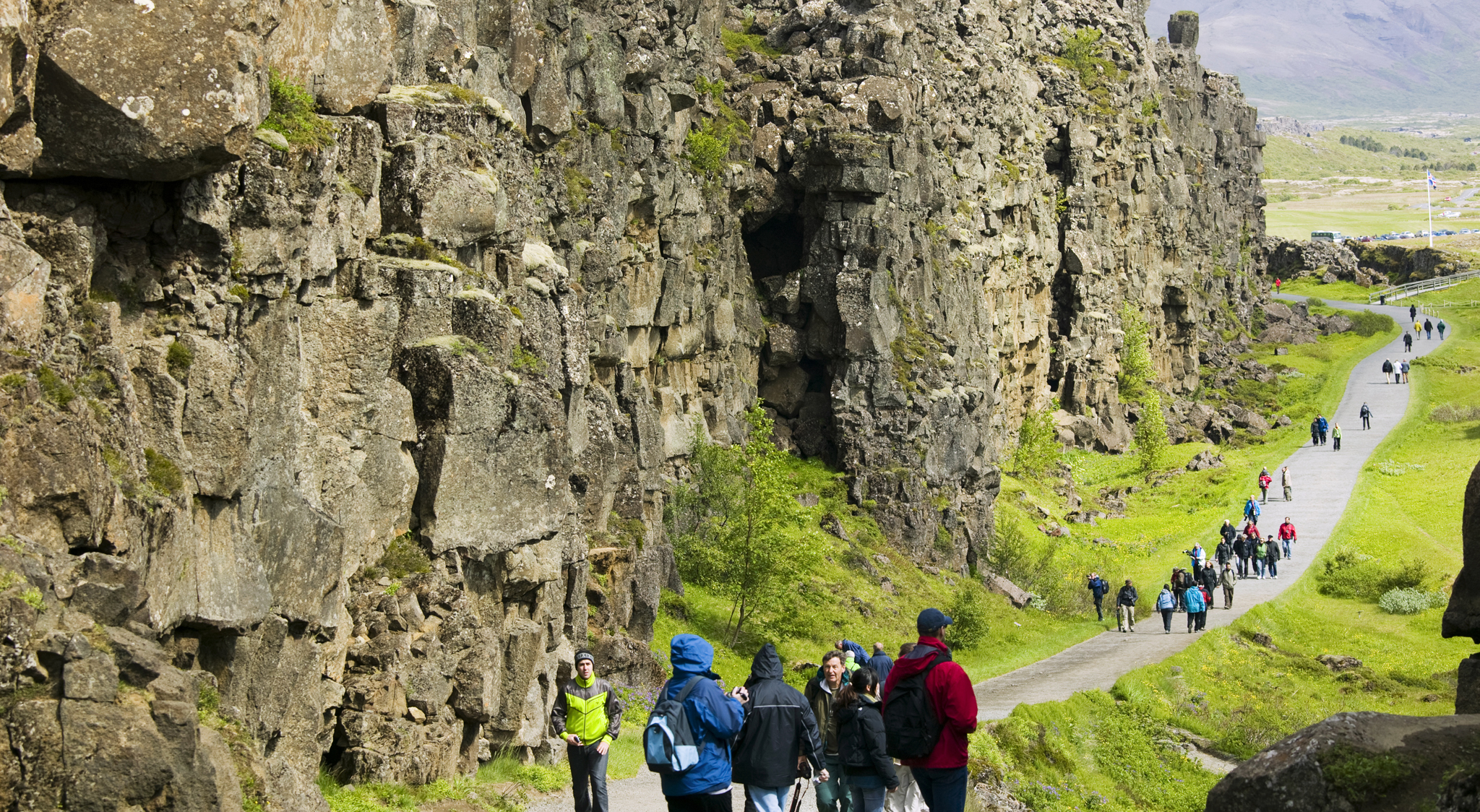
A walk through Almannagjá’s deep, cliff-lined gully is a good way to appreciate Þingvellir’s geology. Here, as the North American and European continental plates drift apart at a rate of 2.5 cm (1 inch) a year, Iceland is literally ripping in half.

Path along Almannagjá’s cliff lined gully
5. Þingvallavatn
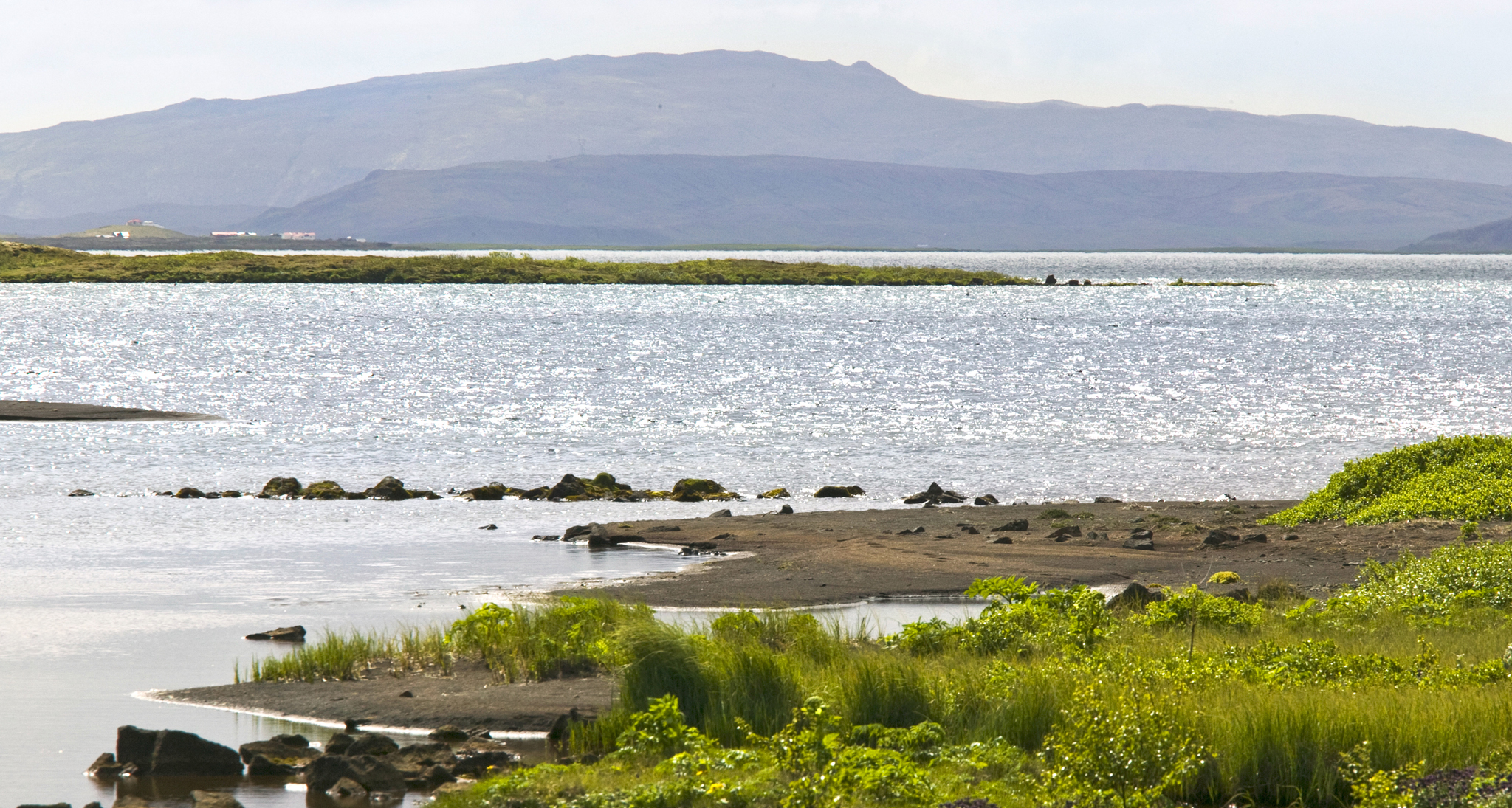
At 84 sq km (33 sq miles), Þingvallavatn is the largest natural lake in Iceland. Its clear waters are famous for char and trout fishing, as well as scuba diving.

The scenic Þingvallavatn lake


