VATNAJÖKULL NATIONAL PARK
Vatnajökull National Park covers around 14,140 sq km (5,460 sq miles), 14 per cent of Iceland’s surface, and comprises the Vatnajökull icecap and disconnected areas around its fringes. The long canyons and enormous waterfalls at Jökulsárgljúfur, Skaftafell’s high moorland and paired glaciers, Snæfell’s wilderness and the remains of Lakagígar’s catastrophic volcanic event can keep you occupied for days. Hiking, ice-climbing, snowmobiling and kayaking are among the activities possible within this huge park.
NEED TO KNOW
 Buses to Ásbyrgi and Dettifoss from Akureyri; to Skaftafell from Reykjavík and Höfn; to Lakagígar from Kirkjubæjarklaustur and Höfn. Lónsöræfi and Hvannadalshnúkur accessible only to experienced hikers. Tours to Vatnajökull by Jeep and snowmobile from Höfn. • www.vatnajokulsthjodgardur.is
- Most sections of Vatnajökull National Park are completely inaccessible in winter, closed due to bad weather or lack of buses. Plan a trip between July and mid-August to have the greatest choice of places to visit.
- There are few places to eat within the park, so make sure you stock up on refreshments from the nearest town.
1. Vatnajökull
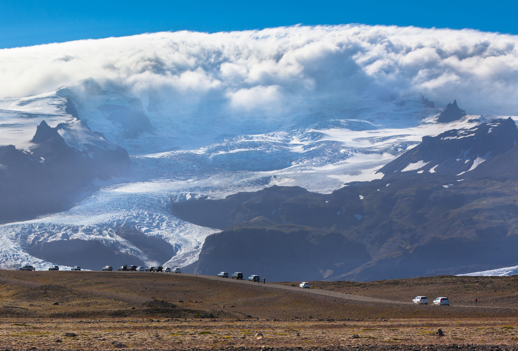
Europe’s largest icecap by volume, Vatnajökull dominates the views inland from the south. A dozen or more outlet glaciers slide coastwards off its top. Five active volcanoes smoulders away underneath.
2. Glacial Features
Glaciers are slow-moving rivers of ice advancing just a few centimetres a day (though most of Iceland’s are shrinking). Extreme pressure grinds down underlying rock to leave gravel moraine ridges and squeezes out the air, giving them their blue colour.
3. Birdlife
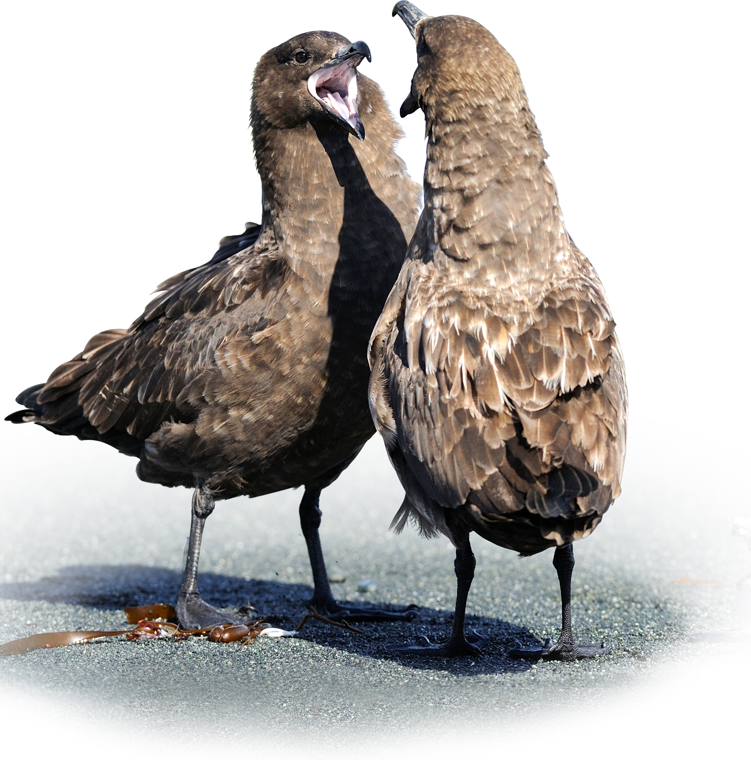
Sandar, or beaches of black sand washed out from beneath Iceland’s glaciers, provide nesting grounds for numerous birds, including the greater skua, an aggressive brown seabird that sometimes preys on weaker birds and their young.
4. Hvannadalshnúkur
Protruding from Vatnajökull’s icecap at 2,110 m (6,923 ft), this peak is Iceland’s highest point. You need considerable experience to undertake the 15-hour trek to its summit.
5. Ásbyrgi
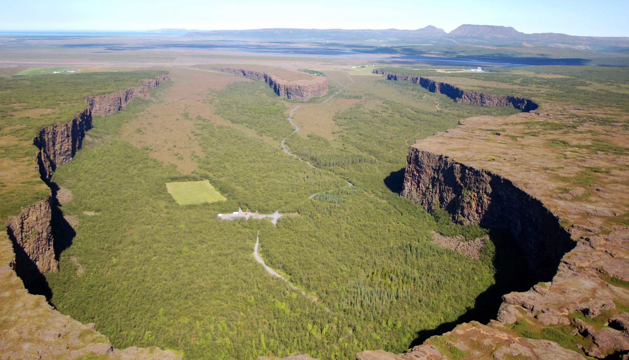
This gorge is said to be a hoof print left by the Norse god Óðin’s eight-legged horse, Sleipnir. Geologists say floods from Vatnajökull carved it.
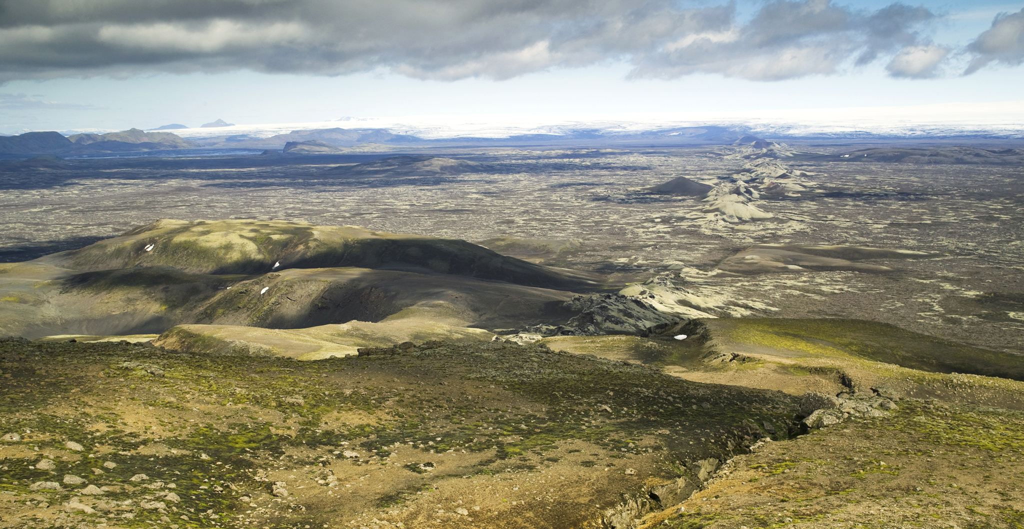
6. Lakagígar
This 25-km (16-mile) row of craters was created by a terrible eruption in 1783. Lava and poisonous gas wiped out farms in the Kirkjubæjarklaustur area, causing a nationwide famine.
7. Fjallsárlón
Although smaller and less dramatic than Jökulsárlón, the Fjallsárlón glacier lagoon is just as photogenic, with its stunning floating icebergs.
8. Skaftafell
Do not miss Svartifoss, a waterfall framed by hexagonal basalt columns, in this national park that extends over 1,700 sq km (657 sq miles) of accessible highland plateau. Other highlights of this park include close-ups of blue glacier tongues streaked in gravel and superlative hiking along marked trails.

9. Jökulsárgljúfur
The name of this national park means “Glacier River Canyon”, a reference to the 120-m- (394-ft-) deep and 500-m- (1,640-ft-) wide slash through which flows Jökulsá, Iceland’s second-longest river.
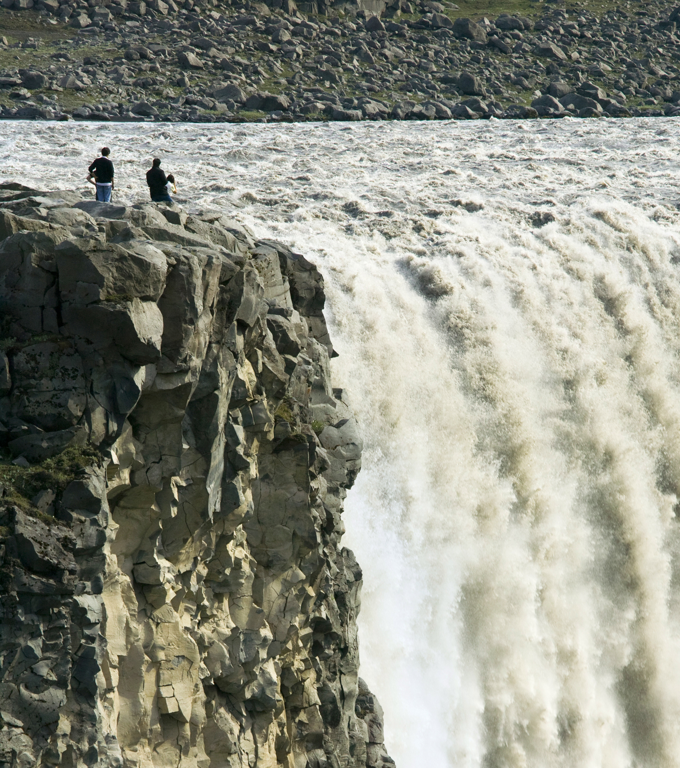
10. Dettifoss
Said to be Europe’s most powerful waterfall, Dettifoss sits amidst a jagged grey basalt landscape, its 45-m (148-ft) drop sending clouds of spray skywards. Summer-only access is via the paved road 862 from road 1.
