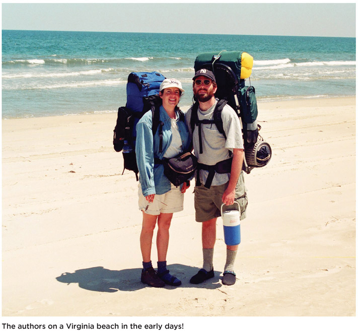
Welcome to the fourth edition of Hiking Virginia, a book we first researched and hiked in the late 1990s before we had a GPS or a digital camera. Over 25 years of hiking, we’ve added new color photographs, GPS coordinates for the trailheads, and information for people with disabilities.
In our travels, we subscribe to the theory Richard Nelson eloquently expressed in The Island Within: “What makes a place special is the way it buries itself in the heart, not whether it is flat or rugged, rich or austere, wet or arid, gentle or harsh, warm or cold, wild or tame”

Our book is about more than destinations. It is about experiences set amid Virginia’s natural beauty. More and more, people seek out culture and history where they travel. Walking, whether up a mountain or down a quaint city street, offers a traveler no better way of achieving this (admittedly, we’re biased—we love hiking). A walk slows the world so sights, smells, and sounds may leave a mental imprint. Hiking Virginia is a trail of breadcrumbs you can use time and time again to enjoy Virginia’s beautiful landscapes, rich history, and kind people.
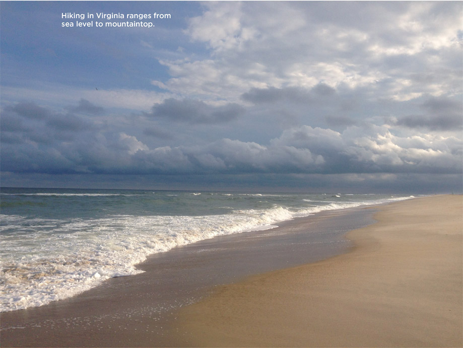
Virginia lends itself to the foot traveler. Higher mountains and larger expanses of preserved land may be found elsewhere, but in Virginia, the best parts of many worlds exist. Flat, low-lying coastal areas enjoy temperate ocean breezes. The Piedmont unfolds westward, one gentle hill after another, up to the steep flank of the Blue Ridge, an ancient mountain range of billion-year-old granite and prehistoric lava flows. Beyond the Blue Ridge and great valley lies the Allegheny chain of mountains, with distinct valleys and ridges tending northeast-southwest. In the state’s far southwest corner, the land rises to its highest peaks of nearly 6,000 feet.
In Virginia, hikers find endless possibilities. They might walk beneath the broad sky of a high-altitude meadow, inhale the spruce scents of a remnant boreal forest, delight in the natural richness of an Appalachian cove forest, walk along tidal marshes, or play in the ocean surf. The sun rises over an Atlantic barrier island, while hundreds of miles inland in a mountain valley, sunlight creeps, inch by inch, down a forested ridge until it alights on the deepest, coolest parts of the earth. From coast to mountain, Virginia beckons. Answer her call, find your place, and make it special.
Thank you for purchasing the fourth edition of Hiking Virginia.
Virginia’s climate is a seasonal mixed bag. In winter, storms arrive from the west. In fall, tropical weather arrives from the Atlantic or, occasionally, from the Gulf of Mexico. When severe enough, these tropical storms become hurricanes. During summer, warm air settles over the state, resulting in hot days punctured by thunderstorms. Late fall and winter are wet-weather seasons, while summer and early fall are generally dry.
Along the coast—the state’s warmest region—the Atlantic winds exert a moderating influence on temperatures, making highs and lows less extreme. Back Bay Wildlife Refuge, a coastal barrier island, averages 86 degrees F in July. By contrast, the southern Piedmont city of Danville experiences an average temperature of 90 degrees F in July. Likewise, in winter, temperatures on the coast average above freezing. Inland, on the Piedmont, temperature averages dip to the mid-20s.
Virginia’s mountains and valleys produce wildly fluctuant temperatures and levels of precipitation. Virtually every state record—high and low temperature, high and low rainfall and snowfall—has occurred in the Blue Ridge Mountains and points west. Summer temperatures range from the mid 80s into the 90s. In winter, temperatures dip into the teens. Snow is common in the mountains, with average accumulations between 6 and 7 inches December through February.
When storms arrive from the west, the Allegheny Mountains cast a rain shadow over eastern mountain slopes and the Shenandoah Valley. When storms originate from the east, the Blue Ridge reverse the pattern, wringing moisture out on eastern slopes, leaving the western slopes and valleys dry As a result, the Shenandoah Valley is the driest region of the state, averaging only 33 inches of rain annually. To the east, across the Blue Ridge, the city of Charlottesville averages 47 inches. And in far southwest Virginia, annual rainfall totals more than 60 inches.


Tropical storms and hurricanes deserve special mention in Virginia. They occur August through October and bring with them threats of high winds and flooding. A hurricane is defined as a storm with sustained wind gusts of 74 mph, but a tropical storm can be as harrowing an experience. Hurricanes are often thought of as coastal weather events, but Virginia’s worst 20th-century storm, Hurricane Camille in 1969, devastated Nelson County in the eastern Blue Ridge region.
Virginia’s forests are comprised primarily of broadleaf, deciduous trees. Under this forest blanket exist plant communities specially adapted to the state’s varying climates.
Grasses, salt meadow hay, and hearty shrubs such as wax myrtle populate coastal fringes of Virginia. These are some of the most resilient plants in the world, able to withstand harsh winds and saltwater conditions. Inland from the beaches and dunes, lagoons mix a daily tidal wash with mainland runoff. Fish spawn here and crustaceans such as fiddler crab live out early years on a nutrient-rich diet. On the mainland, forests of pines and oak typify the flat coastal region. In swampy areas, bald cypress and live oak are often draped with Spanish moss.
Besides cushioning a daily onslaught of waves and wind, the Atlantic barrier islands of Virginia support breeding and migratory birds. From Assateague to False Cape, the arrival and breeding of songbirds, raptors, shorebirds, and wading birds of all shapes and sizes mark every season. As many as 400,000 birds of prey, representing twelve species, have been observed at Kiptopeke State Park on the Eastern Shore during a single fall count.
Virginia’s Piedmont has traditionally supported agriculture. By the 20th century, generations of farming left large swaths of barren land. Where forests returned, they are primarily black and white oak and Virginia and loblolly pine. In Virginia’s state forests, oak and poplar are managed for harvest. Willow oak, river birch, hickory, and ash grow as well. Cumberland State Forest near Farmville marks the extreme western reach of the loblolly pine in Virginia. Turkey, fox, deer, raccoon, and squirrel populate these pockets of rejuvenated woodlands. Hunting has long been permitted, but state forests are a popular spot for hikers, horseback riders, mountain bikers, and campers as well.
The Appalachian oak-hickory forest rises to dominance within the Blue Ridge. Hickory is the successor of the American chestnut. In the early 20th century, it was estimated one of every four trees in the Appalachians was a chestnut. Today, few grow taller than 6 feet before succumbing to the chestnut blight. In the absence of chestnuts, oaks have assumed primacy in Virginia’s western regions. Chestnut oaks are found on dry, rocky ridges, while white and red oak populate mountain slopes. In the forest understory, scrub oak and chinquapins grow.
In moist pockets below 4,500 feet elevation, the Appalachian cove forest holds more than twenty species of trees—beech, sugar, maple, and yellow poplar noticeable among these. Stands of eastern hemlock once made for impressive viewing. However, damage from the invasive woolly adelgid is now widespread in Virginia. Evidence of its handiwork is especially striking in Shenandoah National Park, where entire stands of hemlock are defoliated and dying. Even so, quiet, cool pockets of this venerable evergreen may still be found along isolated mountain streams.
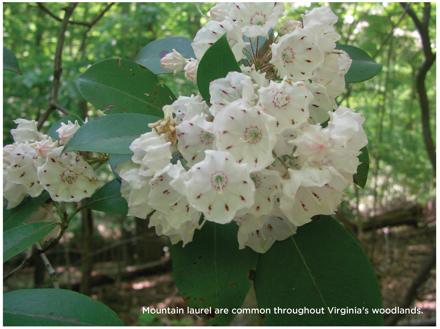

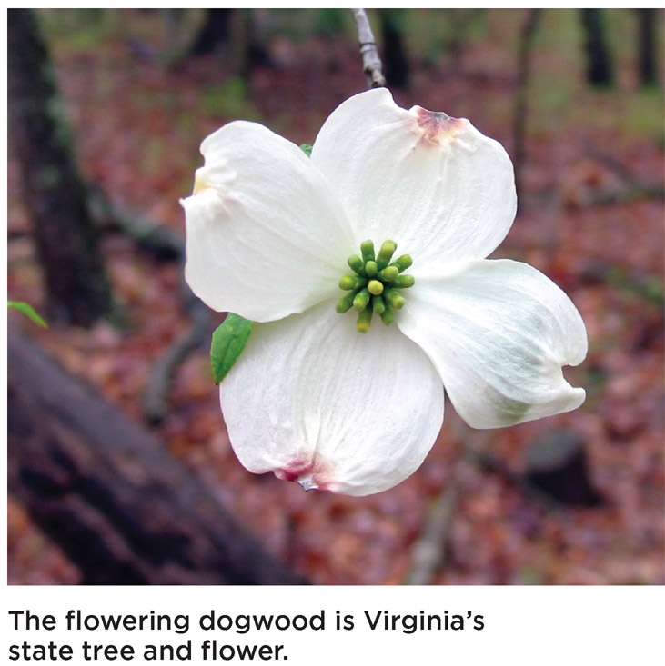
In the forest understory, dogwood and redbud bring colorful spring blossoms. Mountain laurel and rhododendron seem omnipresent on both dry, rocky ridges and in wet stream valleys. Wildflowers are profuse, from the common purple violets and white toothworts to the infrequently spotted Turk’s cap lily. G. R. Thompson Wildlife Management Area, on the eastern slope of the northern Blue Ridge, is thought to hold the largest population of trillium wildflowers in North America. At Mount Rogers and Laurel Fork, the state’s highest elevations, spruce and fir trees indicate a remnant boreal forest more typical of Canada.
Deer have rebounded from overhunting and the habitat destruction of 100 years ago to rank as almost a nuisance throughout Virginia. Black bears are found primarily in the western regions of the state, but may be spotted in the Great Dismal Swamp in southeast Virginia. Otherwise, Virginia’s forests support small-game wildlife. A hiker’s footsteps may flush turkey or grouse from the woods. Raccoon and other nocturnal animals make hanging food a necessary part of any camping trip. Bobcats and coyotes are found statewide, but generally in larger areas of preserved forest.
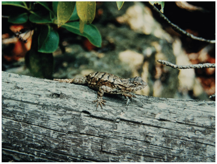
The river systems of Virginia host a wide range of life, from the common brook trout to endangered freshwater mussels. The Clinch and Powell Rivers, flowing southwest to the Tennessee River, support a variety of the hard-shelled animals, many threatened or endangered due to sediment buildup and past toxic chemical spills. Salamanders and crayfish are present in Virginia’s mountain streams.
Throughout Virginia, there are 210 species of freshwater fish. Wild trout streams range from Big and Little Wilson Creeks in Mount Rogers National Recreation Area to North Fork Moormans River in Shenandoah National Park. In the coastal regions, crabs, clams, and other crustaceans inhabit muddy flats in the James, York, Rappahannock, and Potomac Rivers. Seasonal runs of rockfish, sea bass, croaker, and other fish have made sport fishing a popular pastime in the Chesapeake Bay and Atlantic Ocean.
Virginia has witnessed many successes under the federal Endangered Species Act, perhaps none as stirring as the return of a viable bald eagle population. Mason Neck Wildlife Refuge, Caledon State Park, and other preserves along the lower Potomac River are renowned nesting and viewing areas for this bird of prey. Likewise, on the James River between Richmond and Isle of Wight County, more than 300 bald eagles have been counted in summer months. Best viewing times in any location are June through August and November through January.
In northern and southeast Virginia, public lands fall under three broad categories: federal parks, forests, and refuges; state parks and forests; and municipal parks. Keep in mind that wildlife refuges exist for the benefit of animals, not humans. Sections may be closed off to the public during breeding seasons. Conversely, federal, state, and municipal parks exist for humans, a fact reflected in their sometimes crowded conditions.
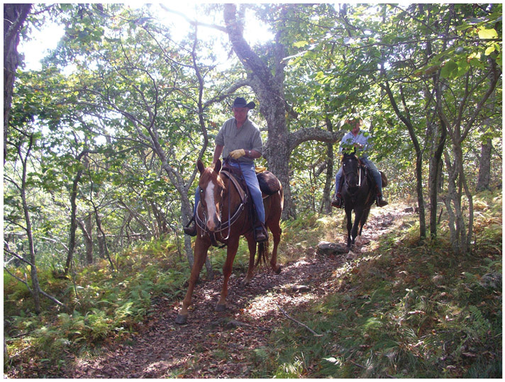
Virginia’s two national forests cover 1.8 million acres of mountain forestland. The George Washington National Forest stretches from north of Winchester to just south of Lexington and Covington. The adjacent Jefferson National Forest continues southwest to the Virginia-Tennessee border. Both are managed out of a single forest headquarters in Roanoke. While it is tempting to think the forests exist for hikers’ enjoyment, they are in fact multiuse, with trails for horseback riders, cyclists, and all-terrain vehicles. Developed campgrounds and recreation areas are suitable for tents or motor homes. Hunting is permitted in season, and timber harvests are conducted regularly.

Virginia’s national forests are divided into eight ranger districts, and each district is responsible for fire prevention, maintenance, and ecology within its boundary. Rangers and their assistants make excellent resources for hikers and can provide information on trails and weather. Contact information can be found here: www.fs.usda.gov/gwj. Mount Rogers National Recreation Area, which covers 117,000 acres of high mountain country in southwest Virginia, is a specially managed component of the national forest and was created in 1965 to serve the recreational needs of East Coast urban dwellers. Within it are 95 miles of trails for hikers, horseback riders, and cyclists.
Contained in Virginia’s two national forests are twenty-four wilderness areas, which is an increase of seven since we wrote the first edition. The intent of wilderness is to allow land to return to a primitive state without interference from people. Motorized traffic and tools are not allowed, and trails may be unblazed and unmaintained. There are exceptions to every rule, however. In cases of emergencies, the Forest Service or local emergency company may use vehicles, helicopters, chainsaws, and other mechanical apparatus when responding in a wilderness area. Surprisingly, the wilderness designation does not automatically translate to remote. St. Mary’s Wilderness Area, south of Staunton and Charlottesville, is blessed with an abundance of beautiful waterfalls; yet, because it’s so easily accessed from I-81, it’s more heavily used than some nonwilderness areas. That said, just as many of these areas feel truly remote. Many hikers have never heard of Beartown Wilderness, on the edge of Burke’s Garden near Tazewell, or Kimberling Creek Wilderness, near Wytheville. For details, visit www.wilderness.net.
Shenandoah National Park is Virginia’s—and one of the nation’s—most visited parks. There is an entrance fee; annual passes are available. Most visitors simply cruise Skyline Drive, a beautiful highway with scenic views that traces the ridgeline of the Blue Ridge. (South of the park, the road continues as the Blue Ridge Parkway, a scenic highway that ends in Great Smoky Mountains National Park in Tennessee.) It is said that a majority of travelers on Skyline Drive stray no more than a half-mile from parking areas and pull-offs. Still, Shenandoah’s backcountry receives a healthy number of visitors. Every hiker should be aware of the park’s backcountry regulations, which govern issues from pets to fires to how to dispose of waste.
AREA CODES
Virginia currently has seven area codes: 276 serves southwest Virginia; 434 serves Charlottesville, Lynchburg, and central Virginia; 540 covers Roanoke and western and northern Virginia, excluding Arlington; 571 and 703 cover northern Virginia (Washington, DC’s area code is 202); 757 serves Hampton Roads and the Eastern Shore; and 804 covers Richmond east to the Williamsburg area.
ROADS
For current information on statewide weather and road conditions and closures, call the Virginia Department of Transportation (VDOT) 24-hour Highway Helpline at (800) 367-7623 (TTY users, dial 711) or visit www.virginiadot.org/travel.

BY AIR
Major airports serving Virginia: Washington Dulles Airport (IAD) is 23 miles northwest of downtown Washington, DC. Ronald Reagan National Airport (DCA) is in nearby Alexandria, and Baltimore Washington International (BWI) is also convenient to northern Virginia. Richmond International Airport (RIC) is located 7 miles east of downtown Richmond. Norfolk International (ORF) and Newport News/Williamsburg International serve Hampton Roads.
Regional airports include Charlottesville, Roanoke, Lynchburg, Martinsville (Blue Ridge Airport), and Shenandoah Valley Airport (midway between Staunton and Harrisonburg).
BY TRAIN
Virginia is served by Amtrak. For information and/or reservations, visit them online at www.amtrak.com or call (800) 872-7245.
Virginia Railway Express (VRE) operates commuter rail service weekdays along two lines from Fredericksburg and Manassas to Union Station in Washington, DC. For more information, call (800) RIDE-VRE or visit www.vre.org. Washington Metro has bus and train service in the northern Virginia area: www.wmata.com.
BY BUS
Greyhound serves most larger towns and cities in Virginia along with Dulles Airport. For information and/or reservations, visit www.greyhound.com or call (800) 231-2222.
VISITOR INFORMATION
For visitor information or a travel guide, call the Virginia Tourism Corporation at (800) VISIT VA or visit their website at www.virginia.org.