8. Knox Mountain Park – Kathleen Lake
Category: Return with an end loop
Distance: 7 km round trip
Height gain: 180 m
High point: 534 m
Time: 2–3 hrs. round trip
Difficulty: Moderate
Seasons: Spring, summer, fall
Trailhead coordinates: N49 54.326 W119 29.453
Directions to trailhead: From Harvey Ave. in Kelowna, turn north onto Ellis St. Drive to the end of Ellis St. to the Knox Mountain Park lower parking lot. Ellis St. continues past the far end of the parking lot as a paved park road, arriving at two upper parking lots farther up. The first upper parking lot eliminates some of the trail’s elevation and distance, but the explanation below begins at the lower parking lot. Regardless, there is a gate that disallows vehicular traffic and it is closed most of the time.
Most of this hike is accomplished on paved road, but there is an alternative route that uses a trail instead of the paved road to get to the first upper parking lot. Refer to either Knox Mountain Park – Paul’s Tomb (#7) or Knox Mountain Park – Apex Lookout (#6) for the alternative route. The all-road option was chosen to the Kathleen Lake turnoff because directions were vague at the time of writing and I did not want to overshoot it. So this trek uses the all-road route.
- Make your way up the busy park road for a little over a kilometre, arriving at the first of the two upper parking lots in about 20 minutes.
- Continuing up the main road brings you to a viewing bench about ten minutes from the first parking lot.
- Five minutes later you will see the Kathleen Lake Trail turnoff sign, with the trail on your right. You are 2.5 km from the trailhead.
- The way is evident as the dirt road you are on immediately goes straight across a couple of minor intersecting trails.
- Three to five minutes from the Kathleen Lake Trail turnoff, a sign directing you to the right comes into view. This is the beginning of the loop around the lake.
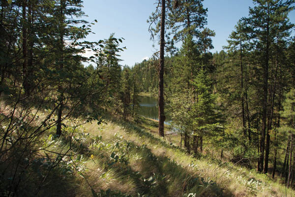
- This is not really a lakeside stroll, since the forested trail is considerably high as it loops around the lake. However, there are side trails that take you down to the lake farther into the hike.
- At the far end of the lake, you come to a high retaining wall that is close to a residential property. Turn left, as the road becomes a narrow, single-track path.
- After a couple of minutes up a slight rise, you will exit the forest and enter a large meadow where the trail meets a gravel road. Turn left onto the road.
- This road parallels the east side of the lake, high above it, but there are a couple of trails that take you down to the shoreline.
- There is a point where the trail reaches a four-way intersection. The sign to complete the loop will send you to the left.
- A few minutes later you will complete the loop. Turn right to return to the main road.


Glimpses of Kathleen Lake are seen through the forest as the trail makes its way around the entire perimeter of the lake.


