Larger than Bali and Lombok combined, Sumbawa’s contorted form is the result of violent volcanic explosions. It was Gunung Tambora that isolated the people of the west from the Bimanese for centuries. So separate are they that the native language of the Sumbawanese is more akin to those of the Balinese and the Lombok Sasaks, while the Bima language is more like those of Flores and Sumba. When islanders say ‘Sumbawa’, they mean the western part of the island. The east is simply called ‘Bima’. Javanese Hinduism never made it this far east, and most Sumbawans are devout Muslims: visitors should wear respectful attire away from the beaches, particularly in the east.
Until fairly recently, there were only two reasons to visit this little-known island: to hire a boat from Sape in the east heading for Komodo National Park or to catch a big wave on its west or southeast coasts. Improved air service to Labuhanbajo, Flores, from where the sail to Komodo is much easier and prettier, has negated the first reason, leaving surfing as the island’s biggest tourism attraction. The breaks at Hu’u attract championship surfers, and sunsets from the beaches on clear nights are absolutely stunning.
There are a few other relatively unnoticed things to do and see in Sumbawa. The rich and famous use part of Pulau Moyo, off the north coast, as a luxury remote getaway. Moyo is also a nature reserve protecting forest and wildlife, and there are two waterfalls presenting rugged trekking opportunities. The mighty Gunung Tambora is waiting to be climbed, and there are megaliths believed to be related to those in Sumba.

Diwu Mbai waterfall on Moyo Island.
Getty Images

West Sumbawa
Ferries from Lombok arrive at Poto Tano in West Sumbawa, where buses await passengers bound for the surfing beaches or Sumbawa Besar.
On the west coast from Taliwang south to Sekongkang beach (familiarly called Yo-Yo’s), the scenic coastline has superb white-sand beaches. There is prime surfing at Scar Reef near Jereweh, at Supersucks near Maluk, and at Yo-Yo’s on the south coast. Maluk 1 [map] and neighbouring Benete are bustling centres of goods and services to satisfy the needs of the copper- and gold-mine employees who work near Maluk. Budget hotels, bars and restaurants cater for surfers.
On the north coast at Sumbawa Besar 2 [map] is the Dalam Loka, the former sultan’s palace. Made entirely of wood, it is raised on 99 stilts to remind followers of the 99 names given to their god. It is now a museum used for cultural activities. The late sultan’s heirlooms are kept in nearby Balai Kuning (Yellow House) where his daughter lives, and can only been seen by appointment.
The hills east of Sumbawa Besar contain large stone sarcophagi, carved in low relief with human forms and crocodiles. Batu Tering 3 [map], about 29km (18 miles) south of Sumbawa Besar, has megaliths said to be the royal tombs of ancient chiefs of a Neolithic culture that thrived about 2,000 years ago. About 2km (1.25 miles) beyond is Liang Petang (Dark Cave), with stalactites and stalagmites resembling humans and weaving looms.
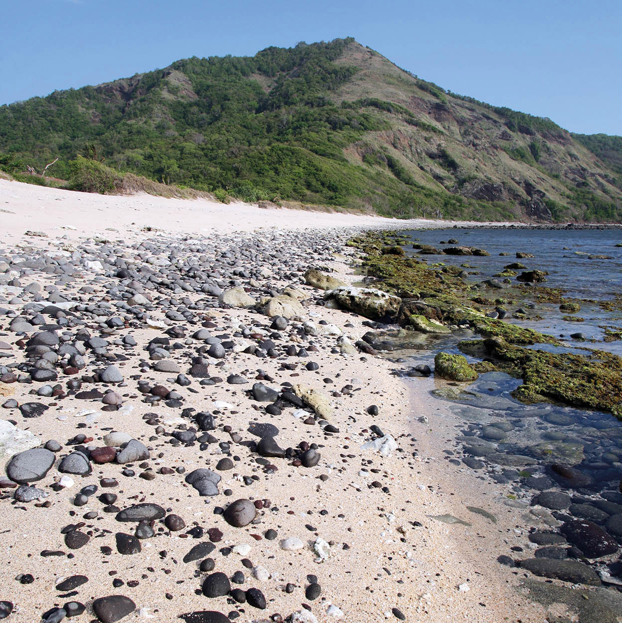
White sands and stones on Sekongkang Beach.
Getty Images
Travelling west from Sumbawa Besar brings you to Pulau Moyo 4 [map]. Two-thirds of the island is a game reserve to protect the island’s deer, banteng wild ox, 21 bat species and wild boars. The flora here ranges from savannah to dense jungle containing teak, tamarind and banyan trees. There are two waterfalls; the one near Labuan Aji village is an easier trek. South of the island the water is crystal clear and the reefs undisturbed, ideal for snorkellers and divers, with a white-sand beach opposite the island at Tanjung Manis.
Moyo is accessible in about 45 minutes by speedboat from Sumbawa Besar. Alternatively, fishing boats can be hired from Ai Bari. Simple accommodation is available at Tanjung Pasir on the mainland. The luxurious Amanwana resort, with modified villas using canvas tent toppings, is also on Moyo. It’s totally isolated, and bookings have to be made in advance.
Tip
Sumbawa is known throughout Indonesia for its wild honey, reputed to have special powers that enhance the sexual prowess of men. Ask for madu Sumbawa at any local market.

A bicolour blenny on the coral reef south of Pulau Moyo.
iStock
East Sumbawa
Heading east from Sumbawa Besar, the land narrows connecting West with East Sumbawa. From here, fertile river valleys with shimmering velvet-green rice fields are replaced by the monotony of rolling scorched brown hills. Picturesque bays and harbours shelter bagan (fishing platforms). Along the coasts, families line the shores damming up sea water to make salt.
Serious climbers may want to ascend Gunung Tambora 5 [map]. In 1815, some 100 cu km (25 cu miles) of debris were ejected into the atmosphere with a force equivalent to that of several hydrogen bombs, creating ’the year without summer’ in 1816. Located on the northern peninsula of Sumbawa, the gaping, 2,821-metre (9,250ft) high caldera offers spectacular views on a clear day. The ascent begins at Calabai, a small logging town on the coast. It is a very difficult three-day climb and a guide is imperative.
Due south of Dompu is Hu’u 6 [map], where long tube rides break off outlying reefs at Periscope, Nangas, Lakey Peak, Pipeline and Cobblestones, attracting international championship surfers. Lakey beach has beautiful white sand, and at low tide there is good reef-walking. Swimming and snorkelling is possible in small inlets.
At Bima 7 [map], if there is a festival going on, you may catch pencak silat (martial arts) and other dance performances at the sultan’s palace. At the pasar (local market), you’ll see women wearing colourful Islamic headscarves that are unique to this region; unmarried women must cover everything except their eyes.
There are several traditional villages in the hills east of Bima, where the people fled to escape Islamisation in the 17th century. Donggo is the oldest. Women here still weave indigo cloth, from which they make their traditional clothing. The Donggo people adhere to a traditional animistic religion.
The road that connects Bima and Sape 8 [map] is hilly and winding. Look for rice storage barns near Maria village and plantations of little purple shallots. From Sape boats depart for Komodo.