MILL CREEK CANYON
20
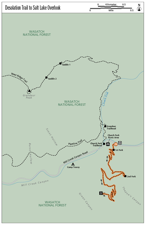
Desolation Trail to Salt Lake Overlook
Long, winding, and shaded, the Desolation Trail makes its way up to an overlook complete with rocks for sitting back to enjoy the view of the Salt Lake Valley or to take in the sunset and have a picnic on an evening foray. The trail sits just minutes from Salt Lake City, and though it seems to wind on indefinitely, the shallow climb (due to long switchbacks) makes it easy for children to tackle the trail. Mostly shady, the trail cuts through a forested mountainside as it winds up and out the top of Thayne’s Canyon. Make it a romantic evening hike or a midday trail run; this hike is great for both.
Start: Desolation Trail 019, South Box Elder picnic ground
Distance: 5.2 miles out and back
Hiking time: About 3 hours
Difficulty: Easy
Elevation gain: 1,150 feet
Trail surface: Loose rock and dirt path
Best season: Summer and fall
Other trail users: None
Canine compatibility: Dogs permitted. Dogs must be leashed on even-numbered days; may be off-leash on odd-numbered days but must be in sight of handler. Dogs must be leashed at all times in campgrounds, on roadways, and at trailheads. Be sure to clean up after your dog.
Land status: Uinta-Wasatch-Cache National Forest; Boys Scouts of America land
Nearest town: Salt Lake City
Fees and permits: Fee to enter Mill Creek Canyon. The fee station is located at the bottom of the canyon; payment is requested upon exit.
Maps: USGS Mount Aire; Trails Illustrated Wasatch Front (709)
Trail contacts: Salt Lake County Park Operations; (801) 483-5473 Public Lands Information Center, Recreational Equipment Inc., 3285 East 3200 South, Salt Lake City 84109; (801) 466-6411; www.publiclands.org Salt Lake Ranger District, 6944 South 3000 East, Salt Lake City 84121; (801) 236-3400
Finding the trailhead: Mill Creek Canyon sits at the top of 3800 South off Wasatch Boulevard in Salt Lake City. South Box Elder picnic area and the Desolation trailhead are located 3 miles past the Mill Creek Canyon fee station. The trail begins on the west side of the restrooms. GPS: N40 41.854' / W111 44.395'
The Hike
This trail explores the west side of Thayne’s Canyon. Originally used for milling, and repeatedly named for those who owned the mills, Thayne’s Canyon gets its name from John Thayn (sic) who ran the mill for many years. Thayne Flat, or the South Box Elder picnic area at the base of the canyon, has two main trails that can take you to various spots and extend into Big Cottonwood and Neff Canyons. As you begin the trail, a trail sign a couple hundred feet from the restrooms indicates the many trails that can be accessed from this point. A few feet later the trail enters a forested, covered area and forks. These two main trails are the access point. The trail to the right climbs to the Salt Lake Overlook on the west ridge of Thayne’s Canyon. Built by the US Forest Service in 1967, the trail can be followed as far as Desolation Lake in Big Cottonwood Canyon (17 miles), but the long, winding switchbacks usually satiate hikers by the time they hit the overlook.
The trail becomes a nicely groomed singletrack. The protection of the trees makes this a good trail for warm summer days. At 1.0 mile the trail comes to a three-way intersection. Follow the trail up and around to the right over rocks and tree roots, continuing to the west. At 1.4 miles the trees open for a moment and views of Mill Creek Canyon open to the north side of the canyon. From here you can see the Pipeline Trail running along the north canyon face as it makes its way down Mill Creek Canyon.
The trail is easy to follow and eventually winds to the overlook. The view includes Mill Creek Canyon, across the Salt Lake Valley, and over to the Oquirrh Mountains. Take some time to enjoy the view, and then return the way you came.
When hiking downhill, your feet slip around inside your boots. Before you begin a long downhill stretch, tighten your bootlaces and put moleskin on any “hot spots” you can feel.
Miles and Directions
0.0Start at the Desolation trailhead on the west side of the restrooms.
1.0Come to a three-way intersection; follow the trail right and to the west.
1.4The trail opens to views.
2.6Reach the Salt Lake Overlook. Return the way you came.
5.2Arrive back at the trailhead.
Hike Information
Local events and attractions: South Box Elder picnic grounds has 6 single sites that can be used at no charge. One group site that can accommodate up to 25 people is available for $35 a day. Reservations can be made for the group site only June 1 through Sept 30 by calling (801) 483-5473.
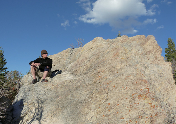
Hiker enjoying the view from the overlook