To most Portuguese, the remote northeastern province of Trás-os-Montes (Behind the Mountains) could be on the other side of the moon. Lisboetas are inclined to look at it as from a vast distance – albeit with fierce affection. The word “trás” – “back” or “behind” – fits the region like a glove. Before Portugal joined the EU, this region was backward in almost every aspect: cut off from the rest of the country by mountains, poor road and rail systems, and grinding poverty that drove the workforce of almost every village to migrate to urban areas, or emigrate to the more advanced economies of northern Europe, or overseas. Now, improved roads, better communications and farming subsidies have led to rapid improvements in living standards, although pockets of poverty still exist.

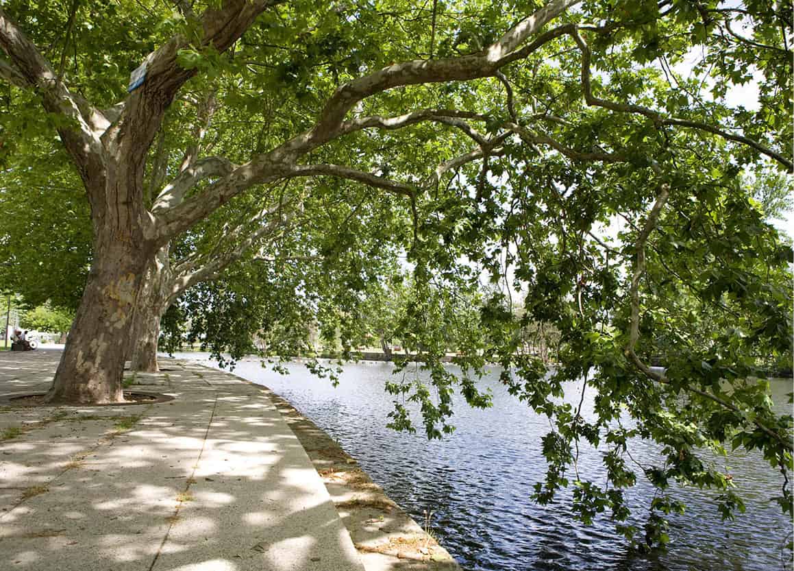
Bragança countryside.
Lydia Evans/Apa Publications
Regional differences
There has been higher emigration from the north of Portugal than from the south, and one of the principal reasons is the division of land. The south is an area of latifúndios – large landholdings – while the north has minifúndios – smallholdings. A farmer’s land in the north is often insufficient to provide him and his family with a living; the terrain, with its steep-sided valleys and high mountains, also makes farming here a challenge.
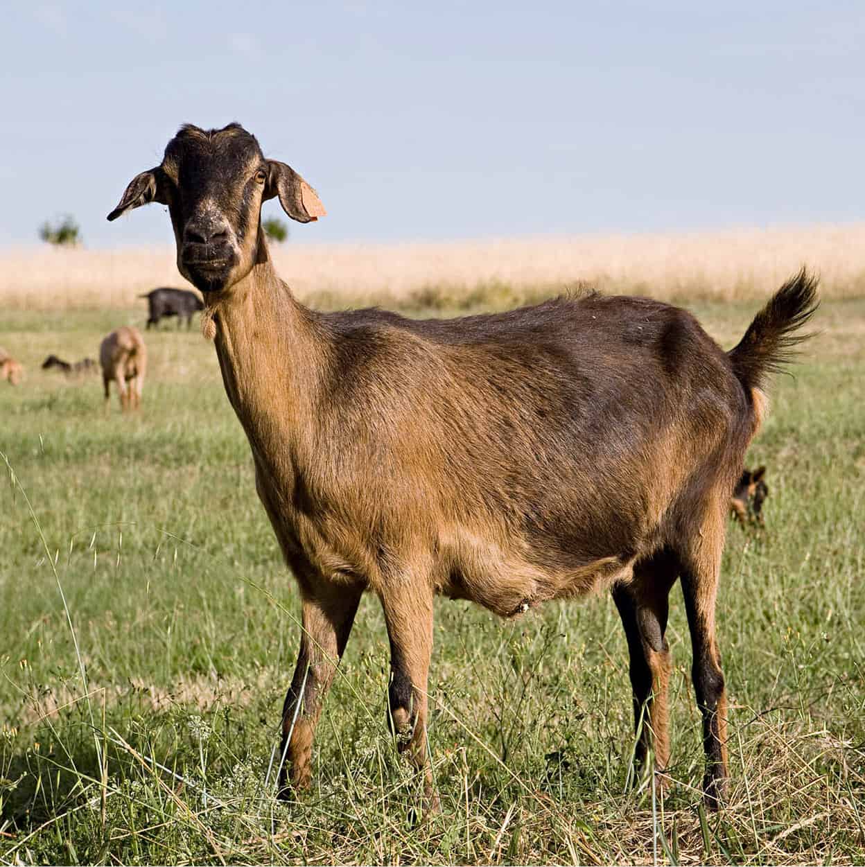
Goats in Portugal are used mainly for their milk.
Lydia Evans/Apa Publications
A more subtle factor affecting Portugal’s conservative north is the Church. While all Portugal is Roman Catholic, the sheer remoteness of the northeast corner has meant that national government has little impact, while tradition and religion predominate. This has influenced education, particularly; not so long ago the only educated man in a village was the priest, whose wisdom and opinion would be sought on every matter ranging from the spiritual to aspects of crop harvesting.
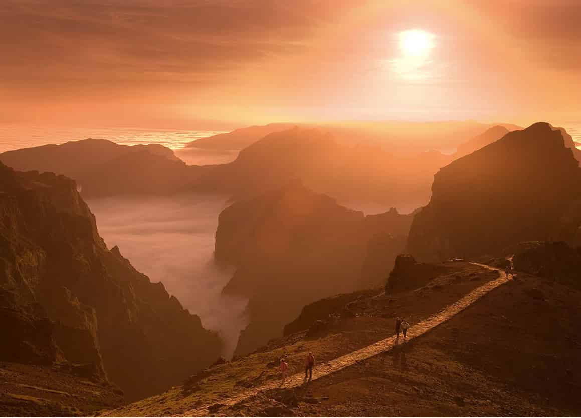
Geographically, Trás-os-Montes covers the extreme northeast corner of the country, from Bragança in the north to the Rio Douro in the south and west to Chaves and Montalegre. Climatically, the region is different, too. Cut off from the influence of the Atlantic, it is hotter and drier in summer and colder in winter, especially in the far northeastern Terra Fria, the cold lands. Trás-os-Montes remains one of the most interesting areas of the country, for its towns, its countryside and its historical connections.
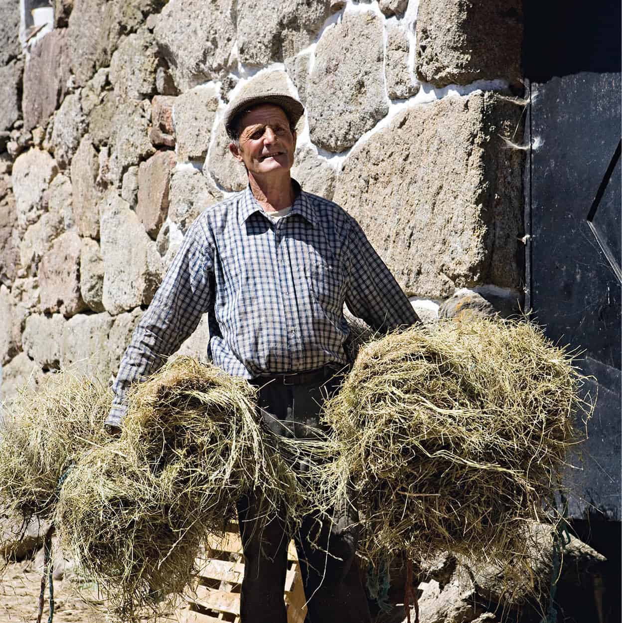
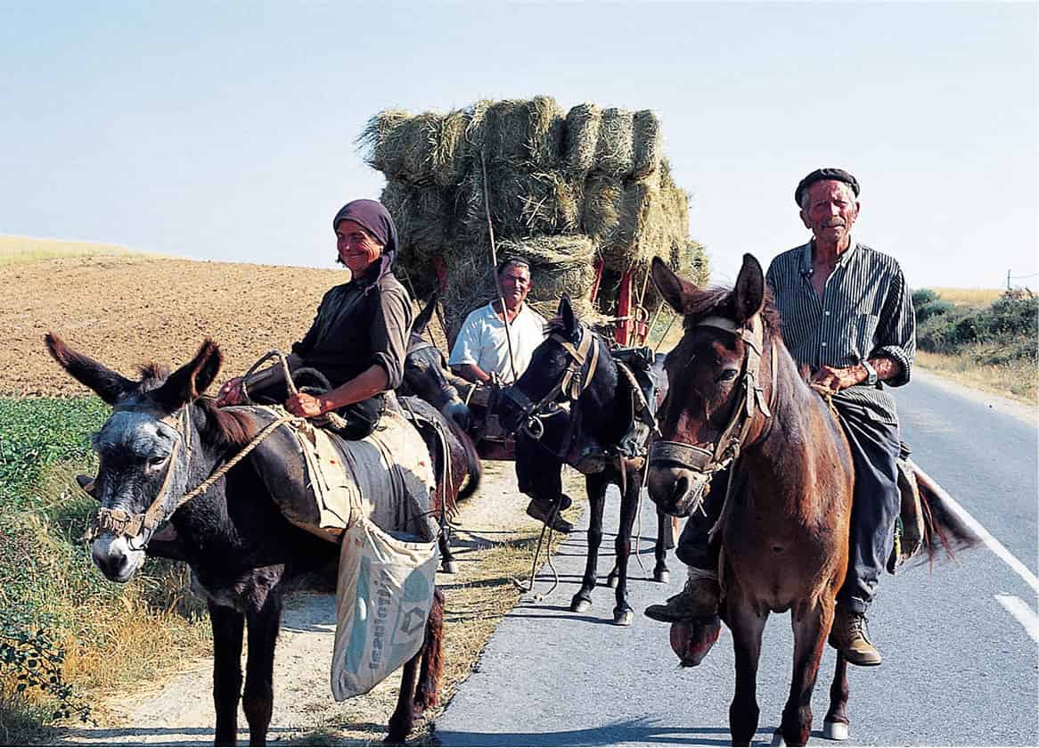
A farmer in Portugal works with his hay.
Lydia Evans/Apa Publications
Entering the region
You can enter the region, which includes the Alto Douro, from a number of directions. Northern border crossings from Spain are at Vila Verde da Raia, on the road leading south to Chaves (this is a historical invasion route – employed by the armies of Napoleon in the early 1800s); at Portelo, in the Parque Natural de Montesinho; from the east at Quintanilha, east of Bragança; and at Miranda do Douro and Bemposta, where the Douro forms the frontier. From inside Portugal, the main routes into the region are from Porto or Lamego via Vila Real; or from Guarda via either Torre de Moncorvo or Freixo de Espada à Cinta.

This itinerary enters the region at Vila Real and follows a meandering route to absorb the sights and atmosphere of the area without ignoring the major points of interest.
Serra de Alvão
Two scenic routes lead north out of Vila Real, one on each side of the high Serra da Padrela – to Chaves in the north, and Bragança in the northeast. But the adventurous traveller may strike northwest into the rugged Serra de Alvão, and be treated to one of the most lavish vistas the country has to offer. The road leads through the Parque Natural do Alvâo, an exceptionally beautiful and pristine natural park with mountains, a river and a wide range of flora and fauna. Continue across the Rio Olo to Mondim de Basto 1 [map] on the banks of the Rio Tâmega. There it forms the border between Trás-os-Montes and the Minho.
Granite gives way to slate – many of the houses are roofed by it – and in the high passes you can hear the rushing of mountain waters and the tinkle of goat bells. In the winter there is snow here, but at other times of the year you are likely to encounter a profusion of wild flowers and pine forests. Pine resin, which is used in the manufacture of paints and turpentine, is a major product of this area.
A side trip of some 12km (8 miles) from Mondim de Basto will take you to Atei 2 [map], a delightful little village containing numerous archaeological remnants of Roman occupation. From here a curious subterranean passage of either Roman or Arab construction (opinions vary) leads down to Furaco on the banks of the Tâmega.
Leaving Mondim de Basto, the road winds northwards to Cabeceiras de Basto, in Minho province, at the head of a small “peninsula” that juts up into Trás-os-Montes. Stop at the imposing Baroque Mosteiro Refóis before heading into the high Serra de Cabreira and back into Trás-os-Montes at Póvoa.
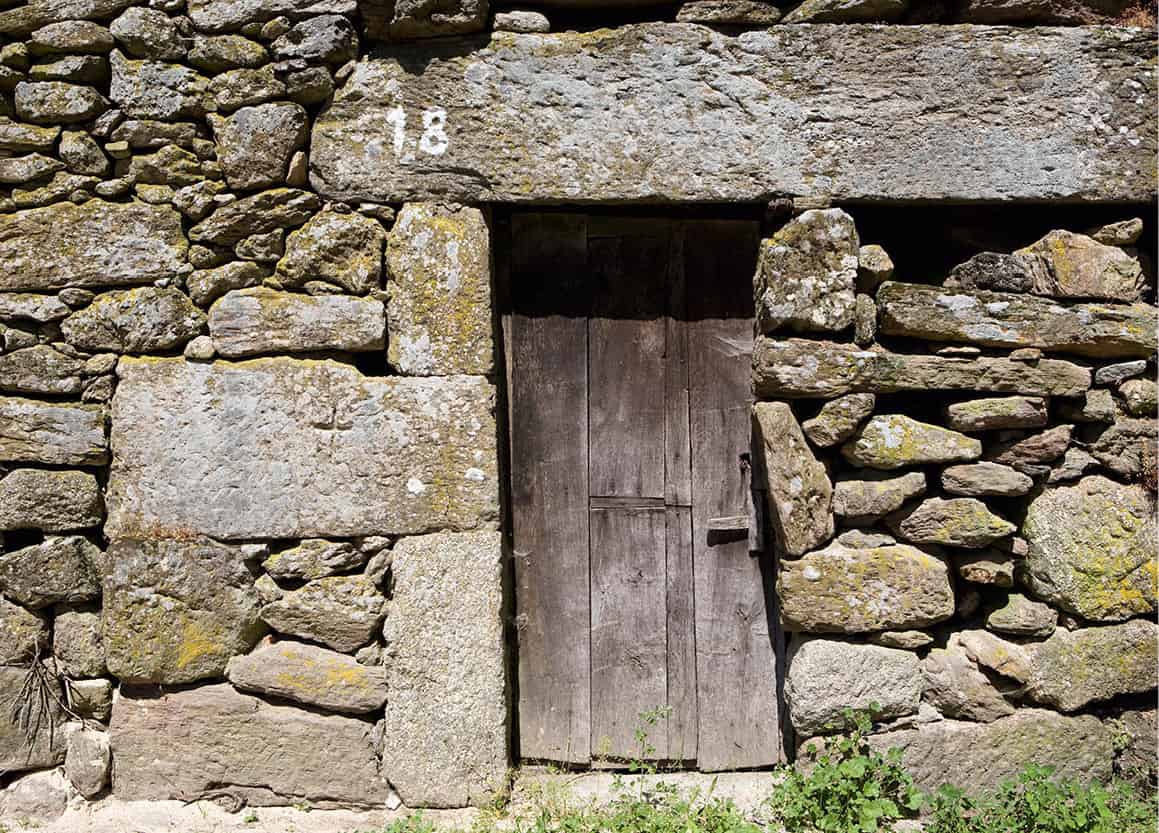
A rustic doorway in the Barroso district.
Lydia Evans/Apa Publications
Barroso district
You soon join the main Braga–Chaves road that runs beside the gigantic expanse of lake formed by Barragem do Alto Rabagão 3 [map], a huge dam, but here again another side trip could take you north – to Montalegre, the towering Serra do Larouco, and the primitive villages of the Barroso district.
As the largest town in the area, Montalegre 4 [map] might be considered the capital of Barroso. Given a charter in 1273 by King Afonso III, and restored and expanded in turn by King Dinis and King Manuel I, Montalegre is thought to have enjoyed its status from a much earlier time, for the pillory in the centre of town carries the coat of arms of King Sancho I, who reigned from 1185 to 1211.
The town commands a view over an extensive area – understandably it has been a military centre for centuries. Montalegre is rich in archaeological finds. Lusitanians, Romans, Suevi and Visigoths were all here, and the magnificent four-towered castle was much used during the many wars that Portugal fought against Spain. At 21-metres (69ft) high, it is now a national monument.
North of the region is home to the Serra do Larouco, the second-highest range of mountains in the country (after the Serra da Estrela), with a number of passes leading into Spanish Galicia.
The district of Barroso stretches from the foothills of the Serra do Larouco southeast towards the city of Chaves. There is no absolute boundary, but it would include such villages as Meixido, Padornelos and Tourém. If you can close your eyes to the “emigrant architecture” – uncontrolled modern housing that is built with money saved by the Portuguese who work abroad – you will find in these settlements a sense of history utterly remote in time.
The ancient houses are built of enormous granite or slate blocks. Doors, windows and balconies are of weathered antique wood. Until recently, many houses were thatched. Once common, dirt streets are rapidly becoming paved, and electricity has only recently been installed. Almost every church is Romanesque, with the typical facade rising to a twin-columned peak to house the church bell.
For centuries the people of Barroso lived out their lives cut off from the outside world. They developed their own customs, songs, festivals and habits. In many corners of the world under similar circumstances local people may treat outsiders with suspicion or alarm, but this is certainly not the case in Barroso. It is hard to imagine a more warm-hearted, hospitable people, willing to share the peculiarities of their daily lives with those who come to visit them.
Communal bulls
One of the region’s most colourful festivals is the annual Chega dos Toiros, an inter-village competition. The name means “The Arrival of the Bulls”. Each village takes enormous pride in its own bull, a communally owned animal bred especially for the purpose of inseminating the various cows owned by the individual farmers. This bull, by both tradition and breeding, is the biggest and fiercest animal imaginable, intended as much to gain the honours at the annual competition as it is for stock purposes.
Held in June, July and August, the Chega is essentially a bullfight, where the bull of one village is pitted against another in a fierce battle. Each animal is decorated and fêted by his villagers, and paraded to the accompaniment of noisy bands and crowds. The fight itself is in deadly earnest, with the champions of each bull goading their animal into combat. The fight continues until one animal is injured, or turns and runs. The victor is then led away by his villagers with much celebration.
At the end of the season there will be a regional champion, and this is the lucky animal who will be put out to pasture with the region’s cows.
Wine of the dead
Boticas 5 [map] is the place to drink vinhos mortos, “wine of the dead”. In order to protect their wine stocks from the French during the Peninsular War in the early 1800s, the villagers buried it in the ground. When it was later retrieved, the wine was found to be much improved. The practice is still followed, with good results. To sample another regional drink, make a short diversion west to the spa village of Carvalhelhos 6 [map]. The spring water here is particularly sweet and is sold all over the country. Most refreshing is com gas, the sparkling version.
The modern town of Chaves was once known to the Romans as Aquæ Flaviæ.
Lydia Evans/Apa Publications
Chaves
Chaves 7 [map], just a few kilometres down the road from Barroso, seems a world away. An ancient city, the fortified Lusitanian village of the present site was captured by the Romans in AD 78. The Emperor Flavius founded the city of Aqua Flaviae there, inaugurating the still-popular hot springs and baths. Chaves is now a bustling town with a population of about 41,000. An agricultural and textile centre, it is famous for its presunto, or smoked ham (for more information, click here); you can taste it, with a glass of wine, at Faustino’s (http://adegafaustino.pt), a former winery that claims to be the largest taverna, or tasca, in Portugal.
The town is also well known for its natural spa, which was first discovered and developed by the Romans. The town’s Parque Termal (Largo das Caldas; www.termasdechaves.com) offers a wide range of treatments said to cure everything from arthritis to obesity. You can also join the queue waiting for a mug full of the steamy water.
Eat
Situated on the Rio Tâmega, Chaves commands a strategic position in a wide valley that extends from the Spanish frontier into the heart of Trás-os-Montes. Just about every invader who set his heart on Portugal, or chunks of it, routed his armies through this channel. Here the Romans built one of the largest of their bridges in the Iberian peninsula. Completed in AD 104, it has 20 arches, is 140 metres/yds in length, and is still very much in daily use. In the middle of the bridge are two inscribed Roman milestones. Chaves means “keys” in Portuguese, but the ancient Aqua Flaviae was later shortened to Flavias, and local mispronunciation may have produced the current name.
Sights include the parish church, rebuilt in the 16th century; and the former Bragança ducal palace, now the Museu Região Flaviense (Mon–Fri 9am–12.30pm, 2–5.30pm, Sat–Sun 2–5.30pm), in the Praça de Camões. It also has other branches around town, including the Museum of Religious Art (Rua da 3ª Ordem, same hours as above), the Railway Museum (Rua da Linha do Comboio) and the Military Museum (in Torre de Menagem). Prior to the formation of Portugal, the fortified city was a part of the original county of Portucale. Several of Portugal’s early kings added significantly to its castle, one of the most important in the land.
A second castle, also once an integral part of the defences of this strategic valley, still stands at Monforte 8 [map], about 12km (8 miles) to the northeast.
On the road to Bragança.
Apa Publications
East from Chaves
Heading east towards Bragança you will pass the old town of Vinhais 9 [map]. Its castle is barely more than a ruin, although there was a significant population here. The town is set high in the Serra de Montesinho, on the south flank of the Parque Natural de Montesinho ) [map], a wildly rugged park of heath-like scenery, the habitat of rare wolves, boars and foxes, as well as many varieties of flora and fauna. The area survives on agriculture, particularly vines, woodwork, weaving and basket-making.
Parque Natural de Montesinho
The stunning Parque Natural de Montesinho (for more information, click here) still has a tangible feeling of being stuck in a time warp. The dramatic countryside is stippled with ancient villages that preserve their age-old customs, and many still bear their ancient Roman or Visigothic names. The protected area covers 751 sq km (290 sq miles), but you don’t have to have your own vehicle to explore it, as this is great hiking country as well. There are at least a dozen well-marked hiking trails running throughout the park, which vary in duration and difficulty. Coroa (1,273 metres/4,175ft) and Montesinho (1,486 metres/4,874ft) are the highest points. Pick up a route map at one of the park information offices and follow the waymarks. Don’t forget to carry drinking water with you. For more details, visit the website at www.montesinho.com.
To explore the region, first stop at the tourist office in Bragança (Avenida Cidade de Zamora; tel: 273 381 273; www.cm-braganca.pt) and ask for a book about the park, which contains a detailed map of the area. Be aware that not all of the roads are paved. Whichever direction you take, you will have a journey through spectacular country.
A mountain, Cidadela, rises behind Vinhais. Over it passed the Roman road that led from Braga to Astorga; today this ancient route is rich in archaeological discoveries. In the 11th and 12th centuries there was a general movement by the population of this area towards the more fertile farmlands of the south. To prevent this, various monasteries were founded and encouraged by the early rulers of the region to develop their own agriculture and cottage industries. One of the most important of these was the Mosteiro de Castro de Avelãs ! [map], a few kilometres west of Bragança. Parts of the church of the Benedictine abbey have been incorporated into the present-day parish church.
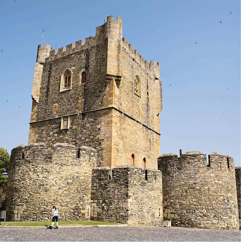
Bragança Castle is an excellent example of civic Romanesque architecture.
Lydia Evans/Apa Publications
Bragança: a fascinating city
With a population of some 35,000, Bragança @ [map] is the administrative capital, a university town, and also an agricultural trade centre (for livestock, vineyards, olives and grains). It has a thriving textile industry, and has been famous for its ceramics since prehistoric times (in a nearby cave at Dine, archaeologists have found pottery dating from the Palaeolithic period).
Known as Brigantine to the Celts and Juliobriga to the Romans, Bragança received its first foral (royal charter) from King Sancho I in 1187 – when the family from which the dukes of Bragança are descended started building their feudal castle there. The Braganças – still pretenders to the throne of Portugal – provided the land’s kings and queens consistently from 1640 until the formation of the republic in 1910, and the emperors of Brazil from 1822 to 1889. In 1662, Catherine of Bragança, daughter of the first Bragança king João IV, became queen to Charles II of England, thus renewing the long alliance between the two nations. Since the fall of the monarchy, a foundation, the Fundação da Casa de Bragança, has managed all royal properties, including the family’s 16th-century ducal palace in Vila Viçosa.
Bragança’s ancient castle still stands – with a Princess’ Tower full of ghosts. The keep of the castle houses the Museu Militar de Bragança (military museum; tel: 273 322 378; Tue–Sun 9am–noon, 2–5pm). You can also see an unusual medieval pelourinho (pillory), its shaft piercing a granite boar. Also within the castle walls, you will find the 12th-century five-sided Domus Municipalis, the oldest municipal hall in Portugal. The town walls, with their 18 watchtowers, are still largely intact, and the city has a fine cathedral and fascinating museum of archaeology, furniture and ethnography, the Museu do Abade de Baçal (tel: 273 331 595; Tue–Fri 10am–5pm, Sat–Sun 10am–6pm), in what used to be the Bishop’s Palace.
Another fascinating museum is the Museu Ibérico da Máscara e do Traje (tel: 273 331 595; Tue–Sun 10am–5pm), with a display of colourful ribboned costumes and masks worn during the annual Carnival and similar festivities. The Centro Ciência Viva (www.braganca.cienciaviva.pt; Tue–Fri 10am–6pm, Sat–Sun 11am–7pm) celebrates the city’s economic reliance on silk from the 15th to the 19th centuries, while the Centro de Arte Contemporânea Graça Morais (tel: 273 302 410; Tue–Sun 10am–12.30pm, 2–6.30pm), has a permanent exhibition of paintings by local artist Graça Morais, as well as regular temporary exhibitions featuring Portuguese and Spanish contemporary artists and sculptors. The Museu Dr Belarmino Afonso (Mon–Fri 9am–12.30pm, 2–5.30pm) has an interesting ethnographical collection.
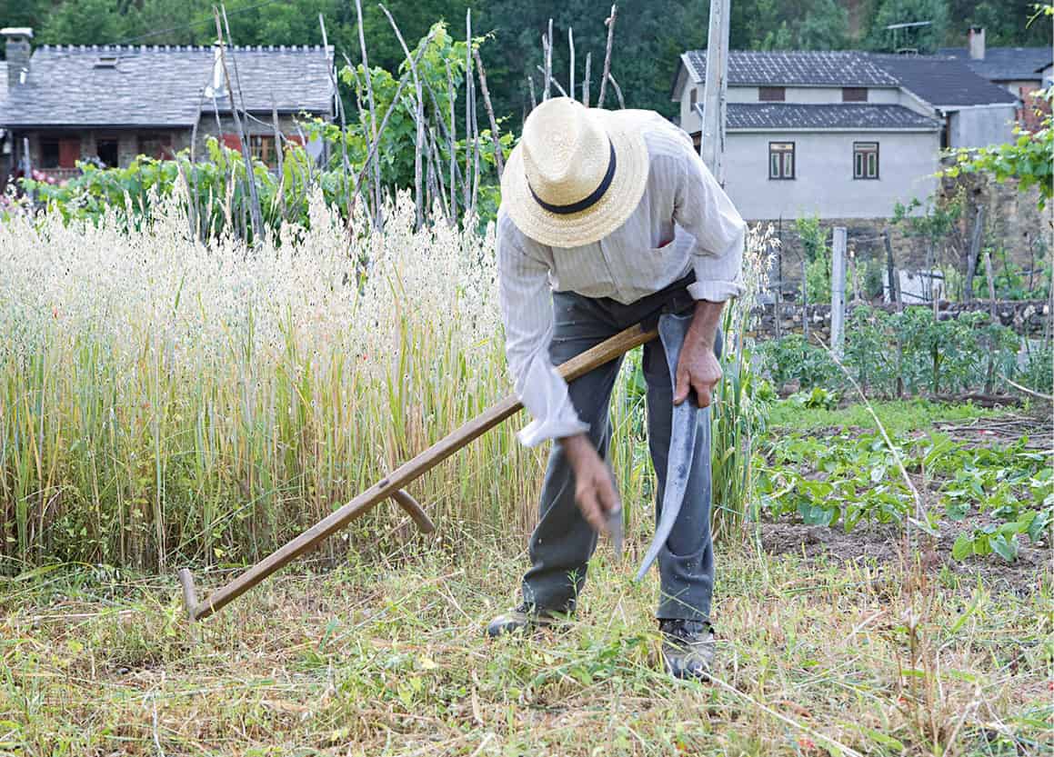
A farmer in the Rio do Onor region of Portugal.
Lydia Evans/Apa Publications
Excursions north
Basing yourself in this historic city, it is relatively easy to make short day trips out into the surrounding region. First, to the north, in the furthest corner of Portugal, there is Rio de Onor £ [map], a tiny village that straddles the border with Spain. It took a rare presidential visit for the village to acquire its first bus service. The people of Rio de Onor developed their own dialect and intricate communal social system. In their music and folk dances a common instrument is the gaita-de-foles – a bagpipe, with Celtic associations similar to those of Scotland and Ireland.
A good time to visit the villages that extend in an arc from Vinhais, across Bragança, and down as far as Miranda do Douro and Freixo de Espada-à-Cinta, is between Christmas Day and Epiphany (6 January), when the local population celebrates a number of feasts connected with the Christian calendar – but incorporating ferocious masks and bizarre costumes. These celebrations date back to the dawn of time, when the agrarian people of these pastoral regions practised fertility rites and paid more than passing attention to magic.
Carnival, in February, is another good time to visit. Forty days before Easter the masks and costumes come out again, and you cannot be sure if it is the Christian spirit or the bogeyman that dominates the season. As in so many places, the Catholic Church incorporated pagan elements in order to appease the local people, and the rites became entangled.
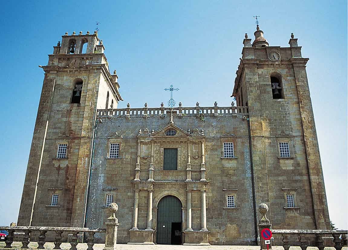
The church at Miranda do Douro.
Mark Read/Apa Publications
Excursions south
South of Bragança you may head towards the Spanish frontier at Miranda do Douro $ [map]. This fortified town sits above a craggy gorge overlooking the Douro. Like many of the country’s border towns, it has suffered a turbulent history in its attempts to keep out the Spanish. These days invaders from across the river are welcomed with open arms – provided they bring a supply of euros.
Fifteenth-century houses with granite doorways, a 16th-century cathedral with a sequence of gilded wood altarpieces, an excellent folk museum, the Museu da Terra de Miranda (Tue 2–4pm, Wed–Sun 10am–6pm), and the medieval Rua da Costanilha make it a worthwhile stop.
It is possible to make a circular tour by following the road on to the quiet town of Mogadouro % [map], which nestles in the shadow of a 12th-century castle built by King Dinis on earlier Roman foundations.
If you like castles, don’t miss the impressive ruins at Algoso ^ [map], on the way back to Vimioso & [map]. Since the 12th century, this fortress has guarded the area surrounding its lofty perch – a hill called Cabeça da Penenciada – while 500 metres (1,650ft) below, the Rio Angueira flows westwards to the Rio Maçãs.