Tour 7: Northern Suburbs
This 7-mile (11km) drive incorporates one of Belfast’s most infamous stretches of road; afterwards, visit Belfast Castle then take the challenge of a 2-mile (4km) uphill walk.
Close to the city centre along the once troublesome Crumlin Road and in the Ardoyne district are some grim reminders of a turbulent past. It is hard to believe that the pleasant suburbs and Belfast Hills are so close at hand, where you can discover the riches such as Belfast Castle and the zoo, and can throw caution to the wind and climb high above the city. If you don’t want to drive, take the direct route to the castle or the zoo on Metro bus 1 from the city centre, heading out along the Antrim Road.
Clifton House.
APA Kevin Cummins
CLIFTON STREET
From the city centre take Donegall Street, which leads into Clifton Street, and the junction of North Queen Street. Once known as the Poorhouse, Clifton House 1 [map] (2 North Queen Street; tel: 028-9089 7534 to arrange group tours), though much altered, is still one of the most delightfully modest public Georgian buildings in Ireland and one of Belfast’s oldest. After lengthy restoration, the building is shared by a sheltered housing association and an interpretative centre.
Virtually opposite is the Indian Community Centre, at 86 Clifton Street, housing a Hindu temple. It hosts many social events throughout the year, including the Mela festival in August, which brings thousands to Botanic Park for Indian dancing, music, fashion and food.
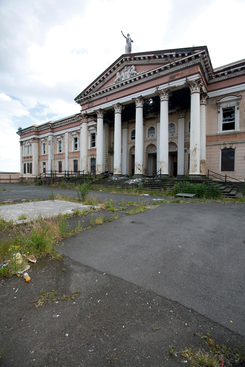
Statue of King William III on top of Belfast Orange Hall on Clifton Street.
APA Kevin Cummins
One of the most important burial sites in Belfast is the Clifton Street Cemetery, where a great number of pioneers of Belfast life lie, including politicians, journalists, Henry Joy McCracken and his sister Mary Ann, and the man who coined the phrase ‘Emerald Isle’, Dr William Drennan.
CRUMLIN ROAD GAOL
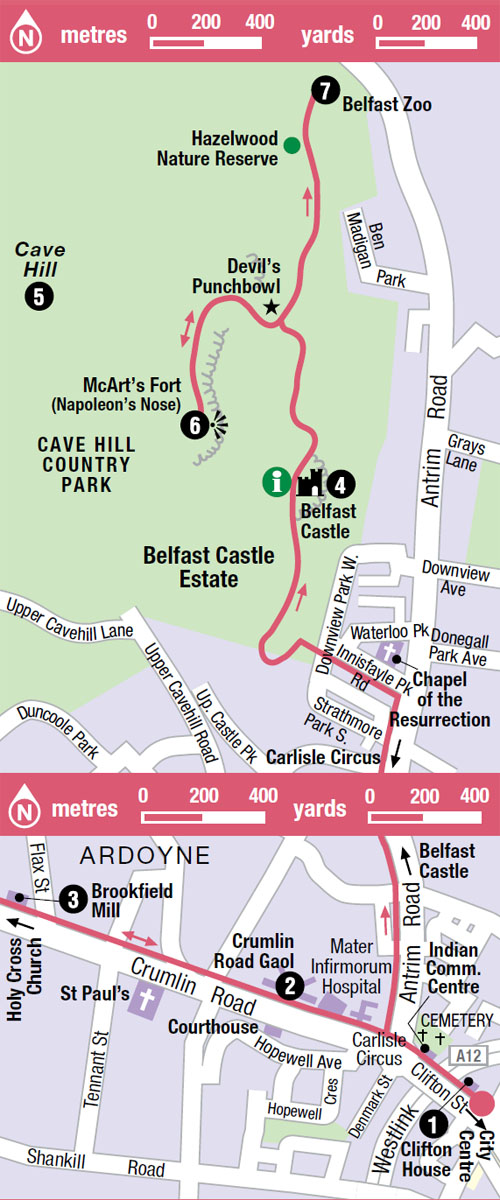
North past Carlisle Circus are Charles Lanyon’s deliberately sinister Crumlin Road Gaol 2 [map] (tel: 028-9074 1500; www.crumlinroadgaol.com; daily 10am–4.30pm) and his formidable Corinthian Courthouse, facing each other across, and joined by a tunnel below the Crumlin Road. During the worst years of the Troubles, between 1969 and 1996, the prison held some of the most notorious murderers, including many involved in paramilitary violence. After a £10m restoration it has been transformed to reflect the way it looked in Victorian times. A 75-minute tour takes in the holding, punishment and condemned cells.
Further on up the Crumlin Road is the beautifully converted Brookfield Mill 3 [map] , once part of Belfast’s linen industry. At the apex of Crumlin Road and nearby Woodvale, the peace line marks off Catholic Ardoyne, where some 20,000 people were employed in the linen mills. Look out for Ross Wilson’s bronze statute, The Mill Worker, outside the building, inspired by the artist William Conor’s depiction of the ‘shawlies’ (female mill workers).
BELFAST HILLS
Returning to Carlisle Circus, turn north into the lengthy Antrim Road, and you will pass the pleasant Waterworks Park, which dates from an 1840s attempt to solve Belfast’s growing water needs.
Looking west, north or east from almost anywhere in Belfast you can see how the city is cupped in a saucer of hills. Clockwise from the west, they are the Black Mountain, Cave Hill, the Castlereagh Hills and the drumlins of County Down, all framed at the ends of the shallow canyons of the streets.
Just over 1½ miles (2km) on along Antrim Road is Innisfayle Park Road, which leads to Belfast Castle.
BELFAST CASTLE
Follow the road into the castle estate and up to Belfast Castle 4 [map] (tel: 028-9077 6925; www.belfastcastle.co.uk; Mon–Sat 9am–10pm, Sun 9am–6pm; free), a ruggedly romantic Scots baronial pile rich in turrets and faced with Cookstown sandstone. It was constructed in 1865 for the impoverished third marquis of Donegall, by Charles Lanyon’s son, John, who borrowed freely from Prince Albert’s sketches for Balmoral Castle. John Lanyon’s fees were guaranteed by the marquis’s daughter, Harriet, who had taken the sensible precaution of marrying the immensely rich eighth earl of Shaftesbury. Their son, the ninth earl, presented the castle to the city in 1934. Tours of the castle are available and there is a restaurant, bar and antiques shop. There’s an excellent adventure playground in the grounds (Apr–Sept daily, Oct–Mar Sat–Sun only; charge). The drive continues back to the Antrim Road north towards Belfast Zoo (see right).
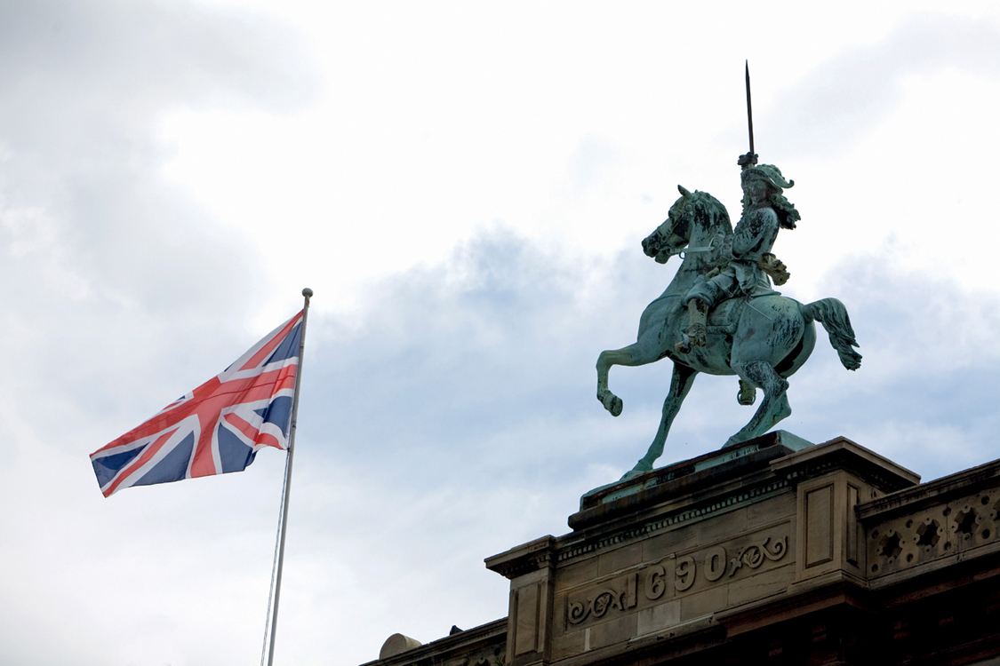
The breathtaking view from Cave Hill.
Getty Images
Saving Cave Hill
The Cave Hill Conservation Campaign is a voluntary group of around 100 people originally founded in 1989 to stop prospecting for minerals taking place in this place of outstanding natural beauty. Its remit has extended beyond this and the group is dedicated to preserving Cave Hill by reducing litter, planting trees and keeping rights of way open. The area is well worth preserving; on a clear day you can see the hills of the Lake District on the UK mainland.

The grounds of Belfast Castle with a cat mosaic.
APA Kevin Cummins
The Cave Hill Visitor Centre at the castle has detailed walking maps and other information on the building’s history as well as its natural surroundings in the Cave Hill Country Park.
CAVE HILL WALK
We now begin our Cave Hill 5 [map] walk proper through the 200-acre (80-hectare) estate. Take the Cave Hill Trail from the car park. From the woods a steeper path goes all the way to the Devil’s Punchbowl, first used by Neolithic hunter-gatherers. Just before this cave the trail takes a left turn running steeply towards a defensive ditch to McArt’s Fort 6 [map] on the 1,180ft (360m)-high promontory. This is alternatively referred to as Napoleon’s Nose or Ben Madigan (from beann, the Irish for peak) after a 9th-century king of Ulster. The outline of Cave Hill has been likened to an outline of Napoleon sleeping on the hillside, the fort representing his nose. Here foxes trail rabbits through the heather and badgers wander at night through the bluebells in May.
Belfast Zoo
The Cave Trail continues to Hightown Fort, but if you wish to walk to the zoo return part way to the Devil’s Punchbowl and take the path north, along to Hazelwood Nature Reserve. This path brings you to the perimeter of Belfast Zoo 7 [map] (tel: 028-9077 6277; www.belfastzoo.co.uk; Oct–Mar daily 10am–4pm; charge).
Built in the early 19th century as part of a pleasure ground at the end of the tram route, the zoo has a pleasantly old-fashioned feel, but, in fact, is remarkably progressive in its captive breeding programme for rare animals. Lemurs are allowed to stroll freely around the zoo. The African Enclosure and the penguin and sea lion pools are popular with children. The views from the zoo are particularly splendid.
Eating Out
Ark Café
Belfast Zoo, Antrim Road; tel: 028-9077 6277; www.belfastzoo.co.uk; Apr–Sept daily 10am–5.30pm, Oct–Mar till 3.30pm.
This is only a fairly basic café providing sandwiches, hot meals and drinks, but the outdoor seating affords a spectacular view. £
Castle Tavern
Belfast Castle, Antrim Road; tel: 028-9077 6925; www.belfastcastle.co.uk; Tue–Sat 12.30–2.30pm and 5–9.30pm.
An atmospheric place for lunch, and a romantic setting for an evening meal. Local produce features extensively on the menu, including Ballycastle lamb and Portavogie mussels. ££