

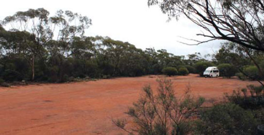
97 FORSYTHS MILL REST AREA 
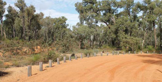


11km E of Mundaring (R) or 27km W of Bakers Hill (L)
Secluded in a natural bush setting just off the highway.
| GPS: S31 52.838 E116 16.585 | MAP: C5, C7 |
98 BAKERS HILL PARK AREA
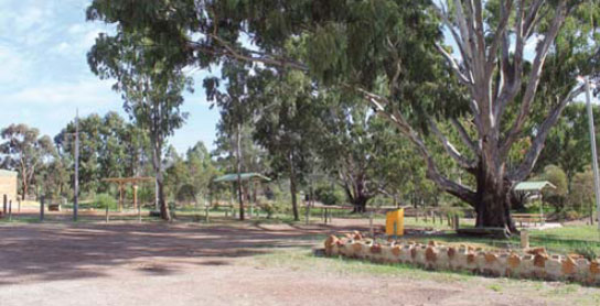

At Bakers Hill
Adjacent to the highway at the information bay on the west side of town.
| GPS: S31 44.918 E116 27.439 | MAP: D4, C7 |
99 CLACKLINE PARK AREA


At Clackline
Just off the highway. On the east side of town via the service road.
| GPS: S31 43.211 E116 31.392 | MAP: D4, C7 |
100 EADINE SPRINGS REST AREA

9km E of Bakers Hill (L) or 14km W of Northam (R)
Secluded picnic area among trees. Well off the highway.
| GPS: S31 42.756 E116 32.369 | MAP: D4, C7 |
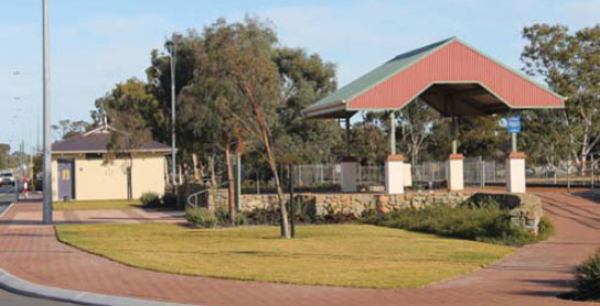
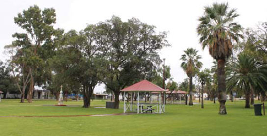
101 NORTHAM PARK AREA
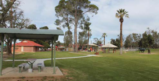


At Northam
Adjacent to the information centre in Minson St.
| GPS: S31 39.045 E116 40.351 | MAP: D4, C7 |
102 MECKERING PARK AREA
At Meckering
Adjacent to the highway. At the earthquake display site.
| GPS: S31 37.996 E117 00.432 | MAP: E4, D7 |
103 CUNDERDIN PARK AREA

At Cunderdin
Adjacent to the highway and near the museum.
| GPS: S31 39.098 E117 14.540 | MAP: E4, D7 |
104 KELLERBERRIN PARK AREA
At Kellerberrin
Adjacent to the highway. In the middle of town.
| GPS: S31 38.004 E117 43.241 | MAP: F4, D7 |
105 HINES HILL REST AREA


37km E of Kellerberrin (L) or 20km W of Merredin (R)
Just off the highway among a few trees.
| GPS: S31 31.961 E118 05.116 | MAP: G3, E6 |
106 MERREDIN PARK AREA

At Merredin
Well off the highway. On the main street.
| GPS: S31 28.914 E118 16.494 | MAP: G3, E6 |
107 BURRACOPPIN PARK AREA
At Burracoppin
Just off the highway among a few trees in the middle of town.
| GPS: S31 23.913 E118 28.765 | MAP: G3, E6 |
108 BODALLIN PARK AREA

At Bodallin
Adjacent to the highway and next to the roadhouse.
| GPS: S31 22.223 E118 51.397 | MAP: H3, F6 |
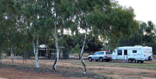
109 MOORINE ROCK CAMPING AREA

T/O 72km E of Merredin (L) or 37km W of Southern Cross (R)
Secluded at the base of a rock 12km (unsealed) north of the highway via Noongar North Rd.
| GPS: S31 13.845 E118 58.717 | MAP: H2, F6 |
110 MOORINE ROCK BRIDGE REST AREA

84km E of Merredin (L) or 25km W of Southern Cross (R)
Just off the highway under shady trees.
| GPS: S31 18.767 E119 05.634 | MAP: H3, F6 |
111 MOORINE ROCK PARK AREA
At Moorine Rock
Just off the highway and opposite the hotel.
| GPS: S31 18.704 E119 07.652 | MAP: F6 |
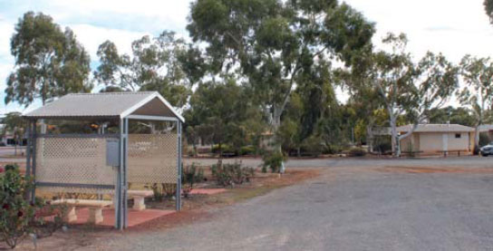
112 SOUTHERN CROSS PARK AREA

At Southern Cross
Just off the highway. Next to the community centre in Anteres St.
| GPS: S31 13.866 E119 19.671 | MAP: F6 |
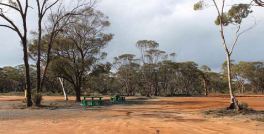
113 GHOOLI REST AREA

13km E of Southern Cross (L) or 172km W of Coolgardie (R)
Well off the highway among a few trees at an old pump house.
| GPS: S31 15.245 E119 27.331 | MAP: F6 |
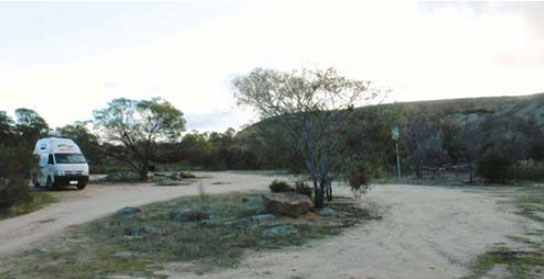
114 KARALEE ROCK CAMPING AREA


T/O 51km E of Southern Cross (L) or 134km W of Coolgardie (R)
Secluded in the scrub 5km (unsealed) north of the highway at a dam.
| GPS: S31 14.986 E119 50.433 | MAP: G6 |
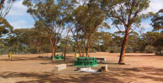
115 BOORABBIN REST AREA
68km E of Southern Cross (L) or 117km W of Coolgardie (R)
Well off the highway under trees in the scrub.
| GPS: S31 16.082 E120 01.044 | MAP: G6 |
116 BOORABBIN MEMORIAL REST AREA
96km E of Southern Cross (R) or 89km W of Coolgardie (L)
Just off the highway at the memorial.
| GPS: S31 12.437 E120 18.595 | MAP: G6 |
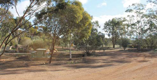
117 BOONDI ROCK CAMPING AREA

T/O 105km E of Southern Cross (L) or 80km W of Coolgardie (R)
Secluded in scrub 3km (unsealed) north of the highway in Goldfields Woodlands National Park.
| GPS: S31 10.883 E120 23.109 | MAP: G6 |
118 BOONDI REST AREA
108km E of Southern Cross (L) or 77km W of Coolgardie (R)
Just off the highway in the scrub.
| GPS: S31 11.348 E120 25.753 | MAP: G6 |
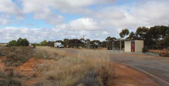
119 WOOLGANGIE REST AREA


110km E of Southern Cross (R) or 75km W of Coolgardie (L)
Well off the highway in the scrub behind the truck bay.
| GPS: S31 11.164 E120 27.142 | MAP: G6 |
120 YERDANI WELL REST AREA

129km E of Southern Cross (L) or 56km W of Coolgardie (R)
Secluded area well off the highway in the scrub.
| GPS: S31 08.383 E120 37.679 | MAP: G6 |
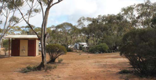
121 DEDARI REST AREA
140km E of Southern Cross (L) or 45km W of Coolgardie (R)
Surrounded by scrub. Located behind the truck bay at the turn-off to the Dedari pump site.
| GPS: S31 06.306 E120 44.261 | MAP: G5 |
122 COOLGARDIE PARK AREA
At Coolgardie
Adjacent to the highway. In the middle of town.
| GPS: S30 57.272 E121 09.732 | MAP: H5 |