

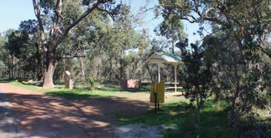
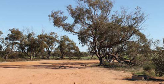
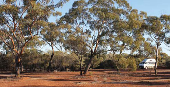
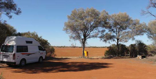
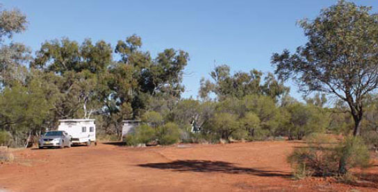
123 BINDOON HILL REST AREA 


10km N of Bindoon (L) or 41km S of New Norcia (L)
Just off the highway among a few trees. On both sides of the highway.
| GPS: S31 19.503 E116 09.249 | MAP: C3, C6 |
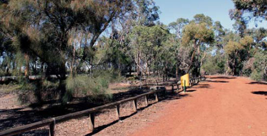
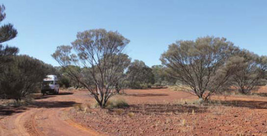
124 FLORA ROAD REST AREA

25km N of Bindoon (L) or 26km S of New Norcia (R)
Just off the highway behind a few trees.
| GPS: S31 11.992 E116 10.568 | MAP: C3, C6 |
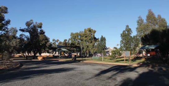
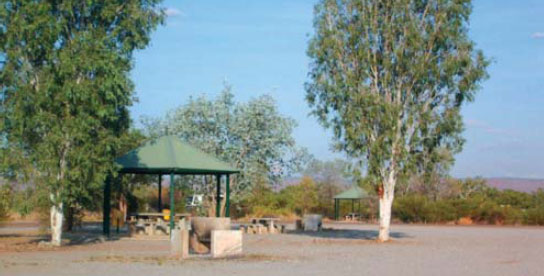
125 NEW NORCIA CAMPING AREA

At New Norcia
Open grassed area among a few trees. Located well off the highway next to a monastery. Inquire at the visitor centre.
| GPS: S30 58.404 E116 12.885 | MAP: C2, C6 |
126 WALEBING PARK AREA
At Walebing
Just off the highway under a few trees. Opposite the roadhouse.
| GPS: S30 41.857 E116 12.712 | MAP: C2, C6 |
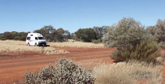
127 MILING NORTH REST AREA
76km N of New Norcia (R) or 42km S of Dalwallinu (L)
Just off the highway behind a few trees.
| GPS: S30 27.862 E116 25.217 | MAP: C1, C5 |
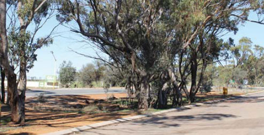
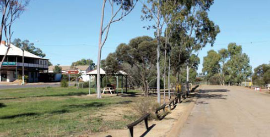
128 DALWALLINU PARK AREA


At Dalwallinu
In the main street opposite the post office.
| GPS: S30 16.667 E116 39.750 | MAP: D1, C5 |
129 WUBIN PARK AREA
At Wubin
Adjacent to the highway at the Wheatbin Museum.
| GPS: S30 06.424 E116 37.908 | MAP: C5 |
130 WUBIN NORTH REST AREA

7km N of Wubin (R) or 147km S of Paynes Find (L)
Just off the highway among a few trees.
| GPS: S30 04.137 E116 40.877 | MAP: C5 |
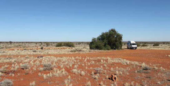
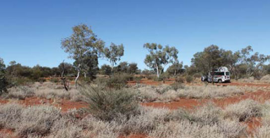
131 JIBBERDING REST AREA

23km N of Wubin (R) or 131km S of Paynes Find (L)
Secluded area in scrub well off the highway.
| GPS: S30 00.251 E116 49.271 | MAP: C5 |
132 WHITE WELLS REST AREA
47km N of Wubin (L) or 107km S of Paynes Find (R)
Just off the highway among a few trees.
| GPS: S29 50.167 E116 56.750 | MAP: C4 |
133 MOUNT GIBSON REST AREA

79km N of Wubin (L) or 75km S of Paynes Find (R)
Just off the highway behind some trees.
| GPS: S29 36.568 E117 08.517 | MAP: D4 |
134 MOUNT HARRY REST AREA
133km N of Wubin (R) or 21km S of Paynes Find (L)
Secluded area well off the highway in the scrub opposite the parking bay.
| GPS: S29 17.192 E117 28.875 | MAP: H12, D3 |
135 WYDGEE REST AREA

57km N of Paynes Find (L) or 87km S of Mt Magnet (R)
In the scrub just behind the parking bay.
| GPS: S28 48.119 E117 50.270 | MAP: H12, D3 |
136 KIRKALOCKA HOMESTEAD CAMPING AREA


T/O 84km N of Paynes Find (R) or 60km S of Mt Magnet (L)
At the homestead 500m (unsealed) east of the highway. Camp kitchen and some powered sites available.
| GPS: S28 33.250 E117 46.600 | MAP: H11, D2 |
137 WOGARNO REST AREA
96km N of Paynes Find (L) or 48km S of Mt Magnet (R)
Just off the highway in the bush behind the parking bay.
| GPS: S28 28.572 E117 48.822 | MAP: H11, D2, D12 |
138 IOWNA REST AREA
118km N of Paynes Find (R) or 26km S of Mt Magnet (L)
Well off the highway surrounded by scrub.
| GPS: S28 16.979 E117 51.602 | MAP: H11, D2, D12 |
139 MOUNT MAGNET PARK AREA

At Mt Magnet
Adjacent to the highway and opposite the caravan park.
| GPS: S28 03.717 E117 50.933 | MAP: H11, D2, D12 |
140 THE GRANITES PARK AREA
T/O 6km N of Mt Magnet (R) or 74km S of Cue (L)
Well off the highway among unusual rock formations.
| GPS: S28 00.333 E117 51.300 | MAP: H11, D2, D12 |
141 LENNONVILLE PARK AREA
T/O 11km N of Mt Magnet (L) or 69km S of Cue (R)
Secluded area 1km west of the highway at an old town site.
| GPS: S27 58.313 E117 50.132 | MAP: H11, D2, D12 |
142 WANARIE REST AREA
21km N of Mt Magnet (L) or 59km S of Cue (R)
Well off the highway in the scrub behind the parking bay.
| GPS: S27 53.636 E117 51.632 | MAP: H10, D1, D12 |
143 DAY DAWN REST AREA
74km N of Mt Magnet (L) or 6km S of Cue (R)
Well off the highway in the scrub behind the parking bay.
| GPS: S27 31.939 E117 54.209 | MAP: H10, D1, D11 |
144 CUE PARK AREA
At Cue
Adjacent to the highway and opposite the police station.
| GPS: S27 30.017 E117 53.783 | MAP: H10, D1, D11 |
145 NALLAN HOMESTEAD CAMPING AREA
T/O 12km N of Cue (R) or 104km S of Meekatharra (L)
Around the homestead 3km (unsealed) east of the highway. Camp kitchen and some powered sites available.
| GPS: S27 18.950 E117 58.333 | MAP: H10, D1, D11 |
146 LAKE NALLAN CAMPING AREA
21km N of Cue (R) or 95km S of Meekatharra (L)
Well off the highway and overlooking the lake.
| GPS: S27 15.759 E117 59.094 | MAP: H10, D1, D11 |
147 LAKE NALLAN REST AREA
20km N of Cue (R) or 96km S of Meekatharra (L)
Just off the highway and overlooking the lake.
| GPS: S27 15.450 E117 58.949 | MAP: H10, D1, D11 |
148 NANNINE PARK AREA
T/O 79km N of Cue (R) or 37km S of Meekatharra (L)
At an old town site 800m east of the highway.
| GPS: S26 53.512 E118 20.319 | MAP: H9, D10 |
149 MEEKATHARRA PARK AREA
At Meekatharra
Adjacent to the highway and opposite a motel.
| GPS: S26 35.567 E118 29.717 | MAP: H9, D10 |
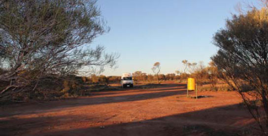
150 TWENTY-FIVE MILE WELL REST AREA
40km N of Meekatharra (L) or 216km S of Kumarina (R)
Well off the highway in scrub at an old well site.
| GPS: S26 15.900 E118 39.501 | MAP: H8, E9 |
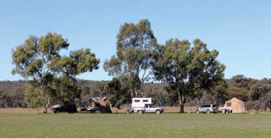
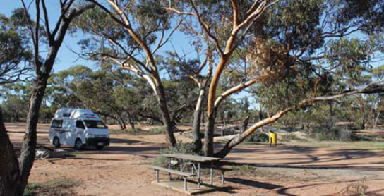
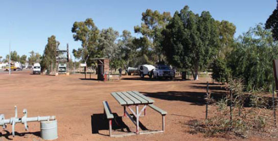
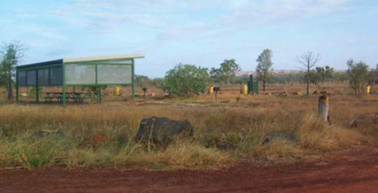
151 KARALUNDI CAMPING AREA
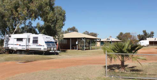
At Karalundi
Oasis in the outback with all caravan park facilities. Well off the highway.
| GPS: S26 07.701 E118 41.182 | MAP: H8, E9 |
152 BILYUIN POOL CAMPING AREA

T/O 65km N of Meekatharra (L) or 191km S of Kumarina (R)
Under shady trees at the waterhole 14km (unsealed) west of the highway via Ashburton Downs Rd.
| GPS: S25 54.302 E118 39.758 | MAP: H8, E9 |
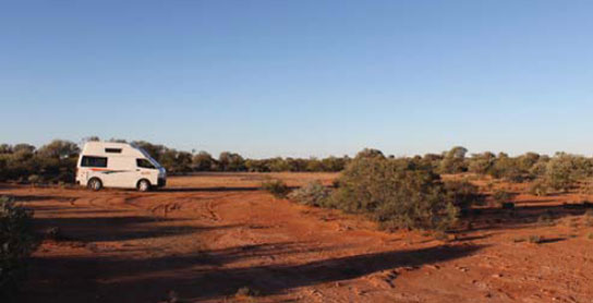
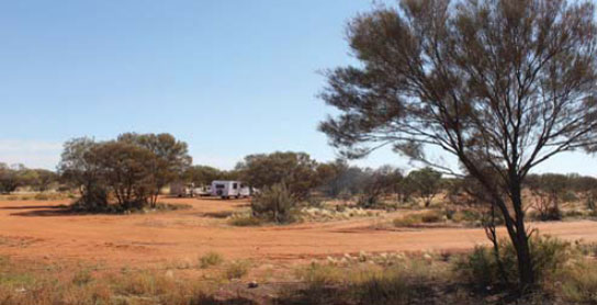
153 DOOLGUNNA REST AREA
111km N of Meekatharra (L) or 145km S of Kumarina (R)
Well off the highway in the scrub behind the parking bay.
| GPS: S25 51.178 E119 04.687 | MAP: E9 |
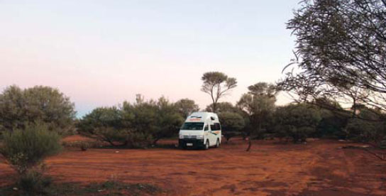
154 BILLABONG REST AREA
146km N of Meekatharra (L) or 110km S of Kumarina (R)
Well off the highway among trees. Located near a billabong behind the parking bay.
| GPS: S25 34.734 E119 14.251 | MAP: E8 |
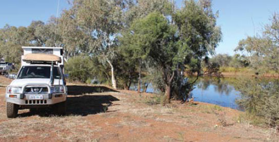
155 GASCOYNE RIVER REST AREA
191km N of Meekatharra (L) or 65km S of Kumarina (R)
Several sites under shady trees up to 500m west of the highway. On the north bank of the river.
| GPS: S25 12.165 E119 20.139 | MAP: E8 |
156 THREE RIVERS REST AREA
214km N of Meekatharra (R) or 42km S of Kumarina (L)
Well off the highway in the scrub behind the parking bay.
| GPS: S25 00.983 E119 24.601 | MAP: E7 |
157 COLLIER RANGE REST AREA
30km N of Kumarina (L) or 134km S of Newman (R)
Well off the highway in the scrub.
| GPS: S24 27.485 E119 40.260 | MAP: E7 |
158 MOUNENA REST AREA
52km N of Kumarina (R) or 112km S of Newman (L)
Just off the highway behind the truck bay.
| GPS: S24 16.518 E119 42.203 | MAP: E6 |
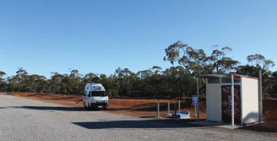
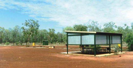
159 NEWMAN PARK AREA
At Newman
At the information bay at the turn-off into town.
| GPS: S23 21.632 E119 45.220 | MAP: E5 |
160 NEWMAN WEST REST AREA
38km W of Newman (L) or 165km SE of Munjina (R)
Well off the highway among a few small trees.
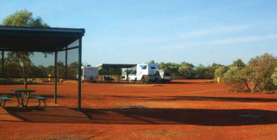
| GPS: S23 12.230 E119 27.868 | MAP: E5 |
161 HAMERSLEY RANGE REST AREA
55km W of Newman (R) or 139km SE of Munjina (L)
Well off the highway in the scrub behind the truck bay.
| GPS: S23 08.306 E119 18.856 | MAP: E5 |
162 MOUNT ROBINSON REST AREA
107km NW of Newman (R) or 87km SE of Munjina (L)
Well off the highway at the entrance to a small gorge.
| GPS: S23 02.567 E118 50.950 | MAP: H4, D5 |
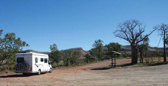
163 ALBERT TOGNOLINI REST AREA

T/O 178km N of Newman (R) or 16km S of Munjina (L)
At a lookout 1.5km east of the highway with spectacular views of a gorge.
| GPS: S22 29.388 E118 44.391 | MAP: H3, D4 |
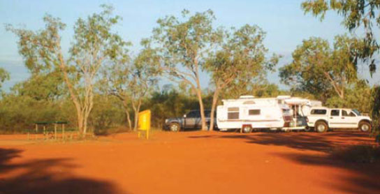
164 BEA BEA REST AREA
44km N of Munjina (L) or 206km S of South Hedland (R)
Secluded off the highway alongside a creek.
| GPS: S22 00.600 E118 48.933 | MAP: H2, D3 |
165 DE GREY RIVER REST AREA
79km E of South Hedland (R) or 71km SW of Pardoo (L)
Just off the highway under trees on the riverbank.
| GPS: S20 18.458 E119 15.127 | MAP: D1, D11 |
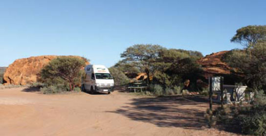
166 CAPE KERAUDREN CAMPING AREA

T/O at Pardoo
Scattered sites along the foreshore 14km (unsealed) northwest of the highway.
| GPS: S19 57.614 E119 46.129 | MAP: E11 |
167 STANLEY REST AREA
107km NE of Sandfire (R) or 179km SW of Roebuck (L)
Secluded area in scrub well off the highway.
| GPS: S19 02.583 E121 39.781 | MAP: G9 |
168 GOLDWIRE REST AREA
166km NE of Sandfire (L) or 120km SW of Roebuck (R)
Secluded area surrounded by scrub well off the highway.
| GPS: S18 36.232 E121 57.941 | MAP: G9 |
169 NILLBUBBICA REST AREA
72km E of Roebuck (L) or 60km W of Willare Bridge (R)
Secluded area surrounded by scrub just off the highway.
| GPS: S17 39.358 E123 08.039 | MAP: I7 |
170 BOAB REST AREA
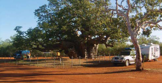
76km E of Willare Bridge (L) or 156km NW of Fitzroy Crossing (R)
Just off the highway around a very large boab tree.
| GPS: S17 49.462 E124 14.015 | MAP: J7 |
171 ELLENDALE REST AREA
145km E of Willare Bridge (R) or 87km W of Fitzroy Crossing (L)
Just off the highway with good views over the surrounding countryside.
| GPS: S17 57.672 E124 50.138 | MAP: K7 |
172 NGUMBAN CLIFF REST AREA

97km SE of Fitzroy Crossing (R) or 192km SW of Halls Creek (L)
Well off the highway with good views of the surrounding countryside.
| GPS: S18 44.940 E126 06.782 | MAP: L8 |
173 MARY POOL REST AREA
181km SE of Fitzroy Crossing (R) or 108km SW of Halls Creek (L)
Secluded area well off the highway on the banks of the Mary River.
| GPS: S18 43.595 E126 52.367 | MAP: M8 |
174 LITTLE PANTON RIVER REST AREA

47km N of Halls Creek (R) or 117km S of Warmun (L)
Just off the highway on an old road.
| GPS: S17 52.518 E127 49.890 | MAP: N7 |
175 ORD RIVER REST AREA

101km N of Halls Creek (R) or 63km S of Warmun (L)
Just off the highway via an old road.
| GPS: S17 29.005 E127 56.979 | MAP: N6 |
176 SPRING CREEK REST AREA
108km N of Halls Creek (L) or 56km S of Warmun (R)
Under shady trees on the banks of the creek.
| GPS: S17 25.931 E127 59.380 | MAP: N6 |
177 MULUKS REST AREA
122km N of Halls Creek (R) or 42km S of Warmun (L)
Surrounded by scrub at Fletchers Creek.
| GPS: S17 20.309 E128 03.149 | MAP: N6 |
178 DUNHAM RIVER REST AREA
117km N of Warmun (L) or 94km SW of Wyndham (R)
Just off the highway under a couple of trees at the Dunham River.
| GPS: S16 07.906 E128 22.853 | MAP: 04 |
179 COCKBURN REST AREA
152km N of Warmun (L) or 59km S of Wyndham (R)
Just off the highway at the junction with the Victoria Hwy.
| GPS: S15 52.124 E128 22.320 | MAP: 04 |
180 MAGGIE CREEK REST AREA
177km N of Warmun (L) or 34km S of Wyndham (R)
Just off the highway among a few trees.
| GPS: S15 40.714 E128 14.843 | MAP: N4 |
Traveller’s Tip
PLAN YOUR TRIP thoroughly and have a good road atlas or maps on hand. A GPS unit is very useful, especially when navigating through capital cities and major regional centres, but don’t leave it in plain view when leaving the car.