
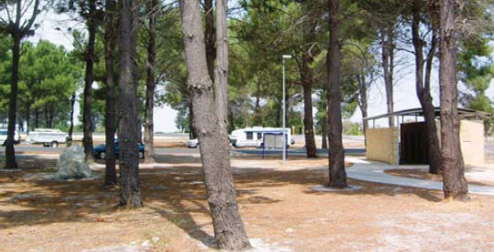
225 N ORTH DANDELUP PARK AREA 


43km S of Armadale (L) or 15km N of Pinjarra (R)
Adjacent to the highway among a few trees. Toilets behind nearby hall.
| GPS: S32 31.125 E115 58.296 | MAP: C6, C8 |
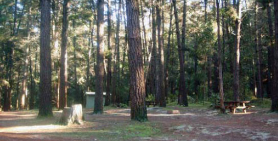
226 MARRINUP CAMPING AREA


T/O at Pinjarra
At a clearing in the forest 24km south-east of Pinjarra via Pinjarra-Williams Rd and Grey Rd (unsealed).
| GPS: S32 42.138 E116 01.649 | MAP: C7, C8 |
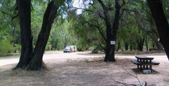
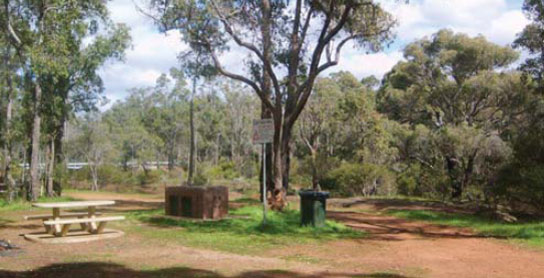
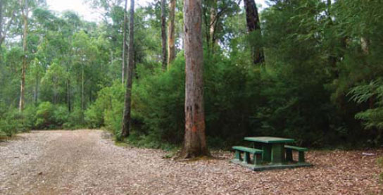
227 NANGA MILL CAMPING AREA


T/O at Pinjarra t o Dwellingup
In the forest of Lane Poole Reserve 19km south of Dwellingup via Nanga Rd.
| GPS: S32 48.102 E116 06.235 | MAP: C7, C8 |
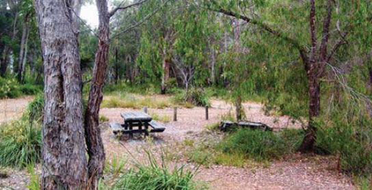
228 CHUDITCH CAMPING AREA


T/O at Pinjarra to Dwellingup
In the forest of Lane Poole Reserve 17km south of Dwellingup via Nanga Rd.
| GPS: S32 47.293 E116 06.558 | MAP: C7, C8 |
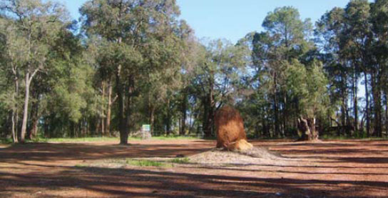
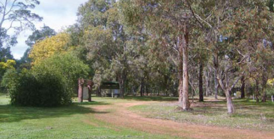
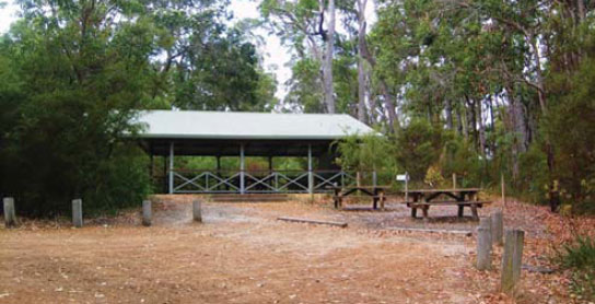
229 BADEN POWELL CAMPING AREA
T/O at Pinjarra to Dwellingup
In the forest of Lane Poole Reserve 10km south of Dwellingup via Nanga Rd. A new campsite is currently being built across the road from the existing one, which will stay open.
| GPS: S32 46.300 E116 05.067 | MAP: C7, C8 |
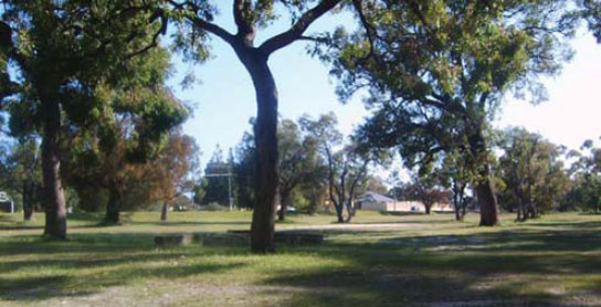
230 PINJARRA PARK AREA
At Pinjarra
On the south side of town opposite the cemetery.
| GPS: S32 38.513 E115 52.177 | MAP: C6, C8 |
231 BANDICOOT BROOK REST AREA

21km S of Pinjarra (R) or 79km N of Bunbury (L)
Just off the highway among some trees.
| GPS: S32 48.417 E115 54.180 | MAP: C7, C9 |
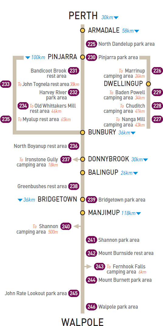
232 HARVEY RIVER PARK AREA
At Harvey
Under shady trees on the banks of the Harvey River.
| GPS: S33 04.667 E115 54.525 | MAP: C7, C9 |
233 JOHN TOGNELA REST AREA
30km SW of Pinjarra (R) or 68km N of Bunbury (L)
Just off Old Coast Rd among some large trees.
| GPS: S32 48.871 E115 44.445 | MAP: C7, C9 |
234 OLD WHITTAKERS MILL REST AREA
46km SW of Pinjarra (L) or 52km N of Bunbury (R)
Secluded among trees just off Old Coast Rd.
| GPS: S32 57.666 E115 43.589 | MAP: C7, C9 |
235 MYALUP REST AREA
32km N of Bunbury (L)
Secluded behind trees and bushes just off Old Coast Rd. For northbound only.
| GPS: S33 07.134 E115 43.258 | MAP: C8, C9 |
236 NORTH BOYANUP REST AREA
14km S of Bunbury (L) or 22km N of Donnybrook (R)
Just off the highway among some trees.
| GPS: S33 25.486 E115 42.470 | MAP: C8, C9 |
237 IRONSTONE GULLY CAMPING AREA
T/O at Donnybrook
Secluded in the bush off Capel Rd 18km south-west of Donnybrook.
| GPS: S33 39.097 E115 42.296 | MAP: C9, C10 |
238 GREENBUSHES REST AREA
9km S of Balingup (R) or 17km N of Bridgetown (L)
At the junction with the northern road into Greenbushes.
| GPS: S33 50.215 E116 03.023 | MAP: C9, C10 |
239 BRIDGETOWN PARK AREA
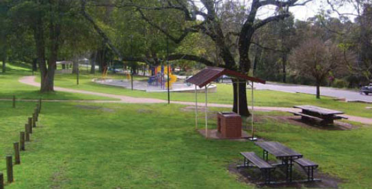

At Bridgetown
At the south end of town on a riverbank.
| GPS: S33 58.197 E116 08.041 | MAP: D9, C10 |
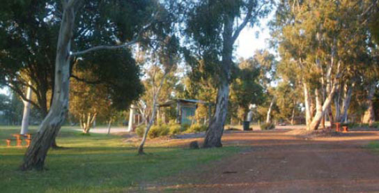
240 SHANNON CAMPING AREA
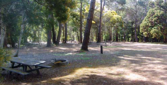


T/O 52km S of Manjimup (R) or 66km NW of Walpole (L)
In a secluded forest setting just off the highway in Shannon National Park.
| GPS: S34 35.725 E116 24.642 | MAP: D11, D11 |
241 SHANNON PARK AREA

52km S of Manjimup (L) or 66km N of Walpole (R)
Well off the highway in the forest.
| GPS: S34 35.479 E116 24.686 | MAP: D11, D11 |
242 MOUNT BURNSIDE REST AREA
63km S of Manjimup (L) or 55km NW of Walpole (R)
Just off the highway in the forest.
| GPS: S34 39.221 E116 29.773 | MAP: E11, D11 |
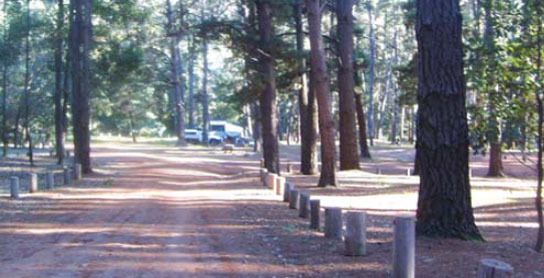
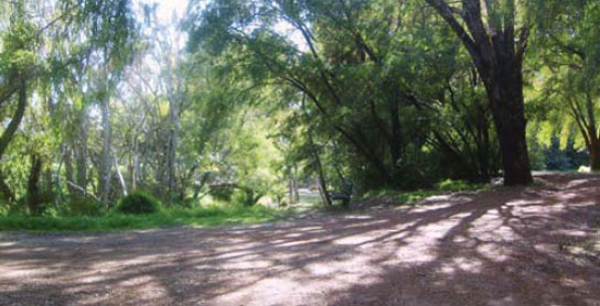
243 FERNHOOK FALLS CAMPING AREA
T/O 88km SE of Manjimup (L) or 30km NW of Walpole (R)
Secluded in the forest 6km (unsealed) east of the highway near Deep River.
| GPS: S34 49.027 E116 35.485 | MAP: E11, D11 |
244 MOUNT BURNETT PARK AREA
94km SE of Manjimup (L) or 24km NW of Walpole (R)
Secluded in the bush just off the highway.
| GPS: S34 53.658 E116 33.563 | MAP: E11, D11 |
245 JOHN RATE LOOKOUT PARK AREA
115km SE of Manjimup (R) or 3km W of Walpole (L)
Small area just off the highway at the lookout.
| GPS: S34 59.102 E116 40.733 | MAP: E12, D11 |
246 WALPOLE PARK AREA

At Walpole
Near the information centre in the middle of town.
| GPS: S34 58.548 E116 43.864 | MAP: E12, D11 |
Traveller’s Tip
REGULAR REST BREAKS are essential on long drives. A five-minute stop every two hours is the minimum requirement to stay alert at the wheel: walk around, stretch your legs and breathe in the fresh air.