

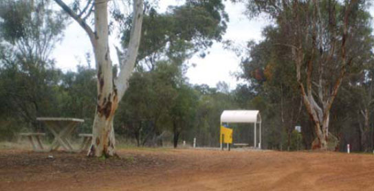
1 GLENEAGLE REST AREA 
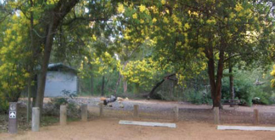


25km SE of Armadale (L) or 107km NW of Williams (R)
Secluded in a forest setting well off the highway.
| GPS: S32 17.306 E116 11.430 | MAP: C6, C8 |
2 SULLIVAN ROCK REST AREA
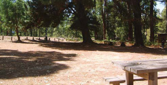
37km SE of Armadale (R) or 95km NW of Williams (L)
Just off the highway among trees.
| GPS: S32 22.766 E116 15.028 | MAP: C6, C8 |
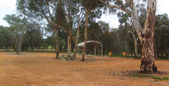
3 NORTH BANNISTER REST AREA
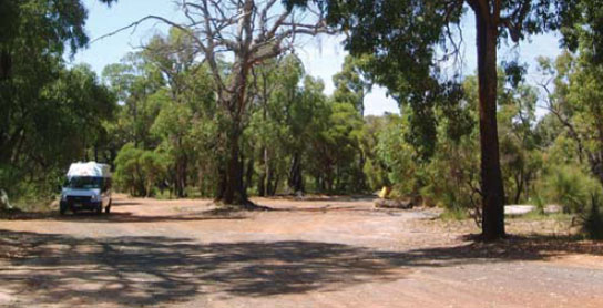

52km S of Armadale (L) or 80km NW of Williams (L)
Among trees on both sides of the highway.
| GPS: S32 29.599 E116 21.296 | MAP: D6, C8 |
4 BANNISTER REST AREA
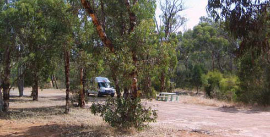
84km SE of Armadale (L) or 48km NW of Williams (R)
Just off the highway among trees.
| GPS: S32 42.550 E116 32.440 | MAP: D6, C8 |
5 CROSSMAN REST AREA
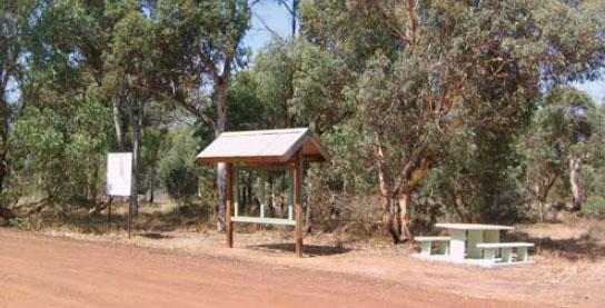
At Crossman
Just off the highway among trees.
| GPS: S32 46.646 E116 35.674 | MAP: D7, C8 |
6 WILLIAMS PARK AREA
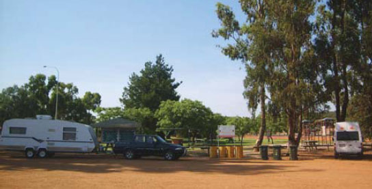


At Williams
In the middle of town on the banks of the Williams River.
| GPS: S33 01.817 E116 52.700 | MAP: E7, D9 |
7 ARTHUR RIVER REST AREA
At Arthur River
Just off the highway and near the roadhouse.
| GPS: S33 20.226 E117 02.035 | MAP: E8, D9 |
8 MARTUP POOL REST AREA
62km SE of Williams (L) or 32km NW of Kojonup (R)
Secluded in scrub near the Beaufort River.
| GPS: S33 32.782 E117 05.091 | MAP: E8, D9 |
9 BOSCABEL ROAD REST AREA
75km SE of Williams (L) or 19km NW of Kojonup (R)
Just off the highway among a few trees.
| GPS: S33 39.510 E117 05.776 | MAP: E8, D10 |
10 TUNNEY ROAD REST AREA
38km SE of Kojonup (L) or 65km NW of Mt Barker (R)
Just off the highway among trees.
| GPS: S34 06.750 E117 21.998 | MAP: F9, D10 |
11 KENDENUP ROAD REST AREA
86km SE of Kojonup (R) or 17km NW of Mt Barker (L)
Just off the highway among a few trees.
| GPS: S34 29.383 E117 34.928 | MAP: G10, E11 |
12 STURDEE ROAD REST AREA
11km SE of Kojonup (R) or 92km N of Mt Barker (L)
Just off the highway among a few trees.
| GPS: S34 32.120 E117 36.106 | MAP: G10, E11 |