
35 THE GORGE PARK AREA 


3km SE of Coolgardie (R) or 163km N of Norseman (L)
Well off the highway on the shores of a small dam.
| GPS: S30 57.797 E121 11.531 | MAP: H5 |
36 KARRAMINDIE REST AREA


15km SE of Coolgardie (L) or 151km N of Norseman (R)
Secluded in scrub behind the parking bay.
| GPS: S31 01.248 E121 17.649 | MAP: H5 |
37 WATTLE DAM REST AREA
60km S of Coolgardie (R) or 106km N of Norseman (L)
In scrub just off the highway behind the parking bay.
| GPS: S31 21.140 E121 31.258 | MAP: H6 |
38 REDROSS REST AREA

101km S of Coolgardie (R) or 65km N of Norseman (L)
In scrub behind the truck bay.
| GPS: S31 41.527 E121 40.461 | MAP: I6 |
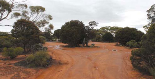
39 MOUNT THIRSTY REST AREA


143km S of Coolgardie (L) or 23km N of Norseman (R)
Well off the highway among trees.
| GPS: S32 02.483 E121 40.726 | MAP: I7 |
40 LAKE COWAN REST AREA
151km S of Coolgardie (R) or 15km N of Norseman (L)
Secluded in the bush well off the highway.
| GPS: S32 06.065 E121 41.686 | MAP: I7 |
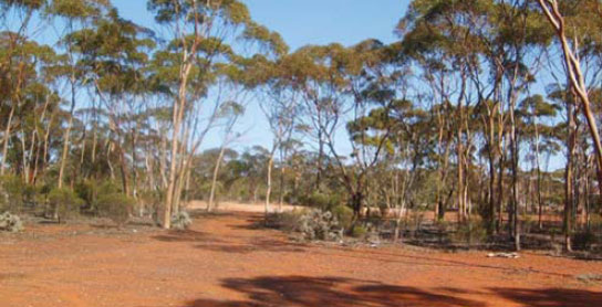
41 NORSEMAN PARK AREA


At Norseman
At the information centre.
| GPS: S32 11.777 E121 46.834 | MAP: I7 |
42 BROCKWAY REST AREA
15km S of Norseman (L) or 188km N of Esperance (R)
Just off the highway among trees.
| GPS: S32 19.876 E121 45.558 | MAP: I7 |
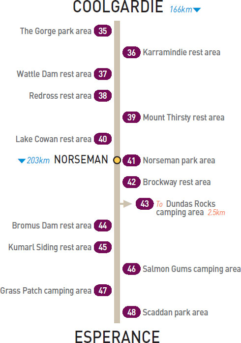
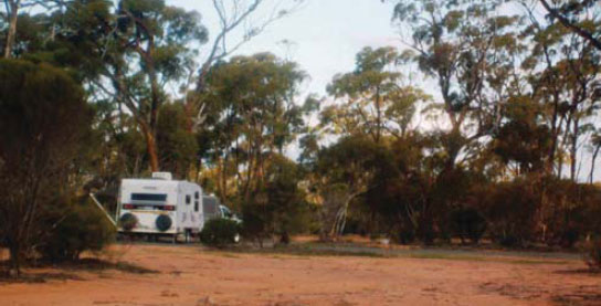
43 DUNDAS ROCKS CAMPING AREA
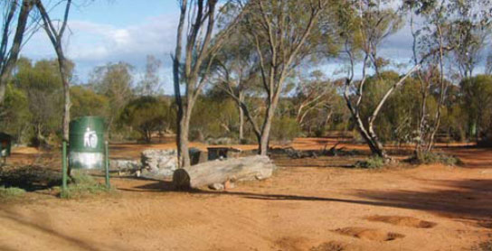

T/O 22km S of Norseman (L) or 181km N of Esperance (R)
Secluded in the bush 2.5km (unsealed) east of the highway.
| GPS: S32 23.440 E121 46.332 | MAP: I7 |
44 BROMUS DAM REST AREA
32km S of Norseman (R) or 171km N of Esperance (L)
Secluded among some trees well off the highway.
| GPS: S32 27.500 E121 41.002 | MAP: I7 |
45 KUMARL SIDING REST AREA

74km S of Norseman (R) or 129km N of Esperance (L)
Well off the highway surrounded by scrub.
| GPS: S32 47.281 E121 33.218 | MAP: I8 |
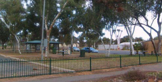
46 SALMON GUMS CAMPING AREA
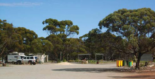


At Salmon Gums
On the east side of town via Nulsen St with basic caravan park facilities.
| GPS: S32 58.951 E121 38.913 | MAP: I8 |
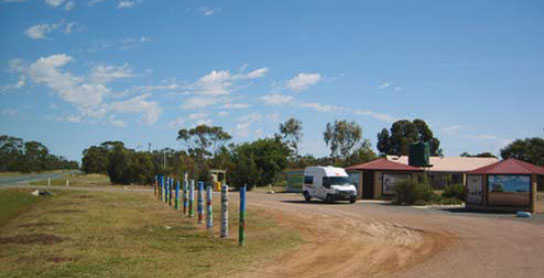
47 GRASS PATCH CAMPING AREA

At Grass Patch
In the middle of town via Shepherd St with basic caravan park facilities.
| GPS: S33 13.734 E121 42.863 | MAP: I8 |
48 SCADDAN PARK AREA
At Scaddan
Just off the highway among a few trees.
| GPS: S33 26.492 E121 43.391 | MAP: I9 |